Easy hikes and walks around the Inn
4.5
(45419)
281,849
hikers
6,441
hikes
Easy hiking trails around the Inn follow the river through diverse landscapes. The region is characterized by river valleys, forested areas, and views of surrounding hills and mountains. These trails often feature gentle gradients, making them suitable for various fitness levels. The Inn River itself is a central geographical feature, influencing the terrain and providing scenic pathways.
Best easy hiking trails around the Inn
- The most popular easy hiking route is Around Lake St. Moritz, a 2.8 mile (4.6…
Last updated: July 7, 2026
4.6
(79)
1,228
hikers
4.58km
01:12
30m
30m
Easy hike. Great for any fitness level. Easily-accessible paths. Suitable for all skill levels.
4.8
(170)
732
hikers
3.61km
01:11
160m
170m
Easy hike. Great for any fitness level. Easily-accessible paths. Suitable for all skill levels.

Sign up for free
4.7
(466)
2,113
hikers
5.12km
01:37
190m
190m
Easy hike. Great for any fitness level. Easily-accessible paths. Suitable for all skill levels.
4.8
(23)
161
hikers
4.21km
01:06
30m
30m
Easy hike. Great for any fitness level. Easily-accessible paths. Suitable for all skill levels.
4.7
(338)
2,083
hikers
Easy hike. Great for any fitness level. Easily-accessible paths. Suitable for all skill levels.
4.4
(16)
62
hikers
2.77km
00:49
90m
90m
Easy hike. Great for any fitness level. Easily-accessible paths. Suitable for all skill levels.
4.5
(167)
1,508
hikers
Easy hike. Great for any fitness level. Easily-accessible paths. Suitable for all skill levels.
4.9
(188)
1,351
hikers
3.53km
01:12
190m
190m
Easy hike. Great for any fitness level. Easily-accessible paths. Suitable for all skill levels.
14
hikers
6.35km
01:39
40m
40m
Easy hike. Great for any fitness level. Easily-accessible paths. Suitable for all skill levels.
4.7
(360)
2,240
hikers
Easy hike. Great for any fitness level. Easily-accessible paths. Suitable for all skill levels.
Get access to more routes and recommendations from other explorers.
Sign up for free
Already have an account?
Our route recommendations are based on thousands of hikes, rides, and runs completed by other people on komoot.
Start today with a free account
Your next adventure awaits.
Login or Signup
Popular around Inn
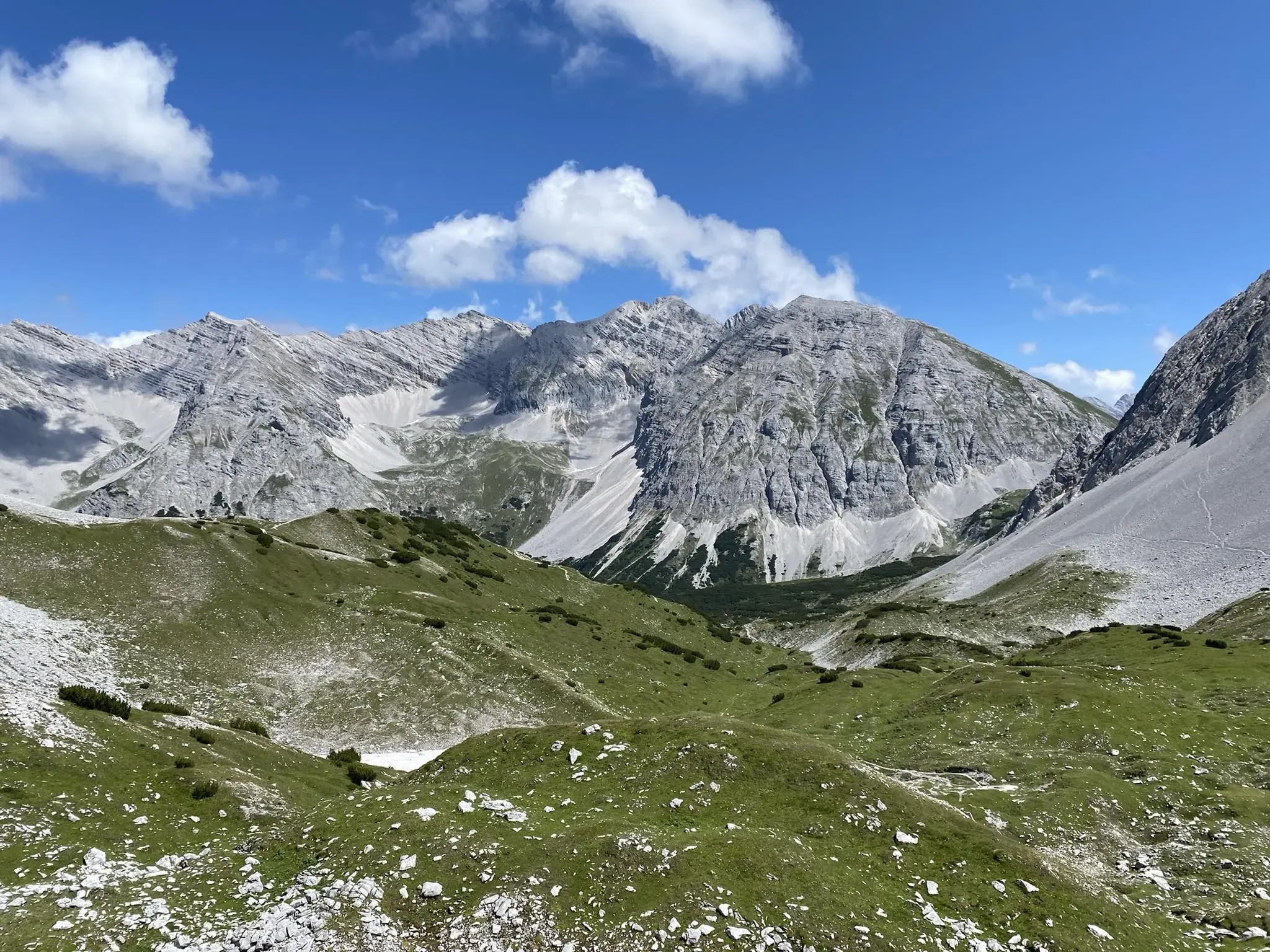
Karwendel crossing – Innsbruck to Sylvensteinspeicher
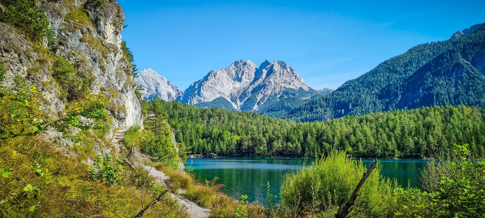
Starkenberg Panorama Trail – Lakes, gorges and noble paths

Alpine Passes Trail – hiking 700km across Switzerland

L1 from Garmisch to Brescia – Far from the classic Alpine crossings
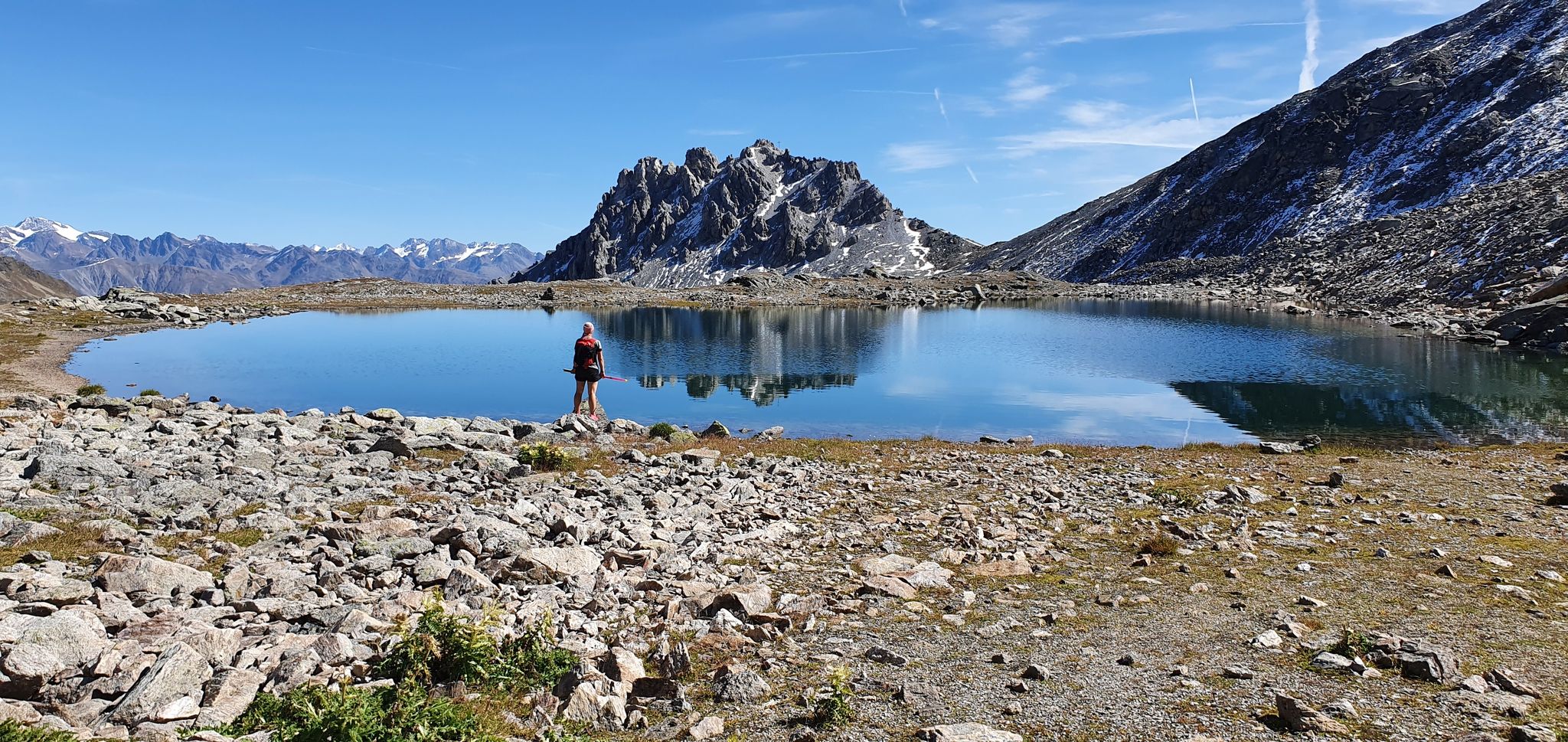
Swiss National Park Panorama Trail – Spectacular and serene
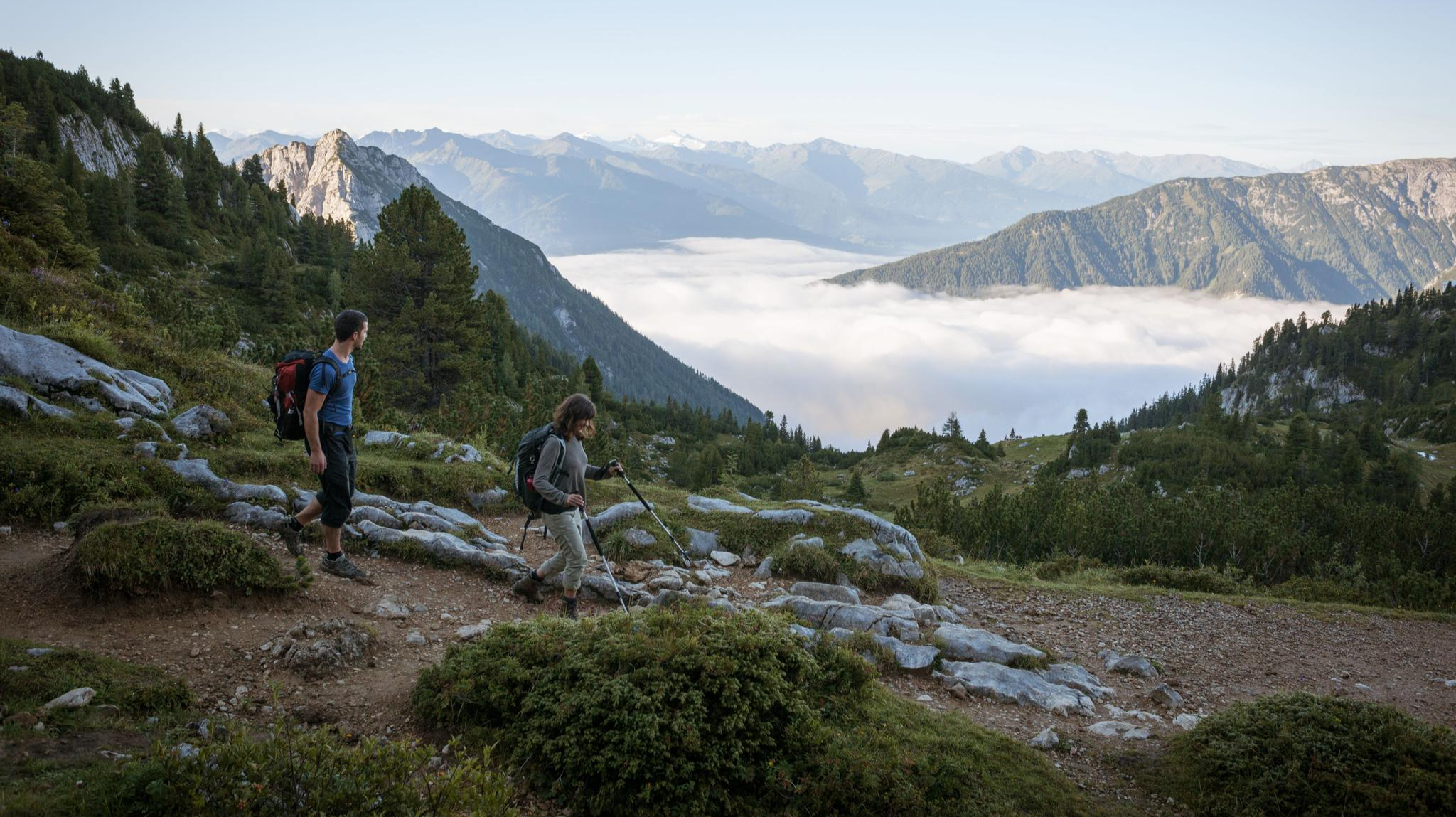
Eagle Walk – Majestic hiking along Tirol's trail

North Alpine Trail 01 – Hike across Austria in 49 days
Way of the Book – Hike in the footsteps of the Bible smugglers in Austria

Via Venezia Alpina – hiking across the Alps to the Adriatic Sea

Danube Trail – Legendary long-distance hiking along the Danube River
Other adventures around the Inn


Tips from the Community

The Rosengarten viewpoint is undoubtedly a highlight. The gorge is easily accessible and offers breathtaking scenery. 🤩🏞️ #Viewpoint #Rosengarten #Gorge #Landscape
0
0

Beautifully situated lake with a place to stop for refreshments
0
0

This is a place you really should visit at least once. But please, not at 5 pm when the bell is ringing underneath it!
0
0
A beautiful lake in the middle of the forest. Very romantic. Food and drinks available. What more could you want?
0
0

The Marienbrücke (often colloquially called the "Innbrücke")
2
0
View across the Inn River to the pilgrimage church of Mariahilf Passau and the Scheiblingturm tower on the Inn.
3
0

Today's Sachs Bridge consists of two steel bridge sections that were placed on reinforced foundations by helicopter in 2019 to better protect and stabilize the bridge against weather and flood damage. Walking across the bridge offers impressive views of the dam and the small lake dammed above it, as well as back into the depths of the gorge with its rushing water and steep rock faces – a truly special experience on a hike through the Gießenbach Gorge.
1
0
The covered wooden bridge over the Gießenbach stream near the Schopperalm is a charming and characteristic feature on the hiking route through the Gießenbach Gorge – especially on the way back to the farms around the Trojerhof.
1
0
Frequently Asked Questions
How many easy hiking trails are available around the Inn?
The Inn region offers a wide selection of easy hiking trails, with over 3,200 routes specifically categorized as easy. In total, there are more than 6,300 hiking tours available, catering to various skill levels.
What kind of natural attractions can I expect to see along the easy hiking trails?
Many easy trails around the Inn feature stunning natural attractions. You can find routes that lead past beautiful lakes, such as the Hechtsee (Lake Hecht) or the Eastern shore of Lake Möserer See. The region is also known for its river valleys, forested areas, and views of surrounding hills and mountains, with some trails like the Giessenbach Gorge – View of the Bavarian Alps loop from Hechtsee offering impressive gorge scenery.
Are there family-friendly easy hikes around the Inn?
Yes, the Inn region is excellent for family-friendly hikes. Many of the easy trails feature gentle gradients and diverse landscapes, making them suitable for all ages. Routes like Forscherpfad (Explorer Trail) offer an engaging experience for families to explore nature.
Can I bring my dog on the easy hiking trails?
Many easy hiking trails around the Inn are dog-friendly, allowing you to enjoy the natural beauty with your canine companion. It's always a good idea to keep your dog on a leash, especially in nature reserves or areas with livestock, and to check specific trail regulations beforehand.
What is the best time of year to go hiking in the Inn region?
The Inn region offers beautiful hiking experiences throughout the year. Spring brings wildflowers and lush greenery, while summer provides warm weather for riverside walks. Autumn is particularly scenic with vibrant fall foliage, and even winter offers opportunities for easy, snow-covered strolls, especially on well-maintained paths.
Are there circular easy walks available?
Yes, the Inn region features many circular easy walks, perfect for returning to your starting point without retracing your steps. An example is the Three Rivers Corner (Ortspitze) – Schaiblingsturm loop from Passau Hbf, which offers a pleasant loop experience.
What do other hikers enjoy most about the easy trails around the Inn?
The easy trails around the Inn are highly rated by the komoot community, with an average score of 4.5 stars from over 41,000 reviews. Hikers often praise the scenic river paths, the tranquility of forested sections, and the picturesque views of hills and valleys. The variety of routes suitable for different abilities is also frequently highlighted.
Are there any easy hikes with viewpoints of the Bavarian Alps?
Absolutely. Some easy trails provide stunning views of the Bavarian Alps. For instance, the Giessenbach Gorge – View of the Bavarian Alps loop from Hechtsee offers impressive vistas of the mountain range while you hike through a scenic gorge.
How long do easy hikes around the Inn typically take?
The duration of easy hikes around the Inn can vary, but many are designed for shorter excursions. For example, the popular Around Lake St. Moritz trail takes about 1 hour and 11 minutes, while the From Sils in the Engadin via the Chastè peninsula route is typically completed in just over an hour.
Is public transport available to access easy hiking trails in the Inn valley?
Yes, many areas in the Inn valley are well-connected by public transport, making it convenient to reach various trailheads without a car. It's advisable to check local bus or train schedules for specific starting points of your chosen hike.
Are there cafes or pubs along the easy hiking routes for a stop?
The Inn region is known for its hospitality, and you can often find charming cafes, restaurants, or traditional pubs along or near many easy hiking routes. These establishments provide excellent opportunities for a refreshing break or a meal, especially in towns and villages situated along the river.
What kind of elevation gain can I expect on easy hikes around the Inn?
Easy hikes around the Inn generally feature minimal elevation gain, making them accessible for most fitness levels. While some routes, like the Forscherpfad (Explorer Trail), might have a moderate gain of around 165 meters, many others, such as Around Lake St. Moritz, have very gentle ascents of only about 30 meters.
Are there any less crowded easy trails for a peaceful experience?
While popular routes can see more visitors, the vast network of trails around the Inn means you can often find quieter paths, especially during off-peak hours or by exploring slightly less-known sections. Look for trails that venture a little further from major towns for a more serene hiking experience.
Most popular routes around the Inn
Most popular attractions around the Inn

Get inspired with the komoot mobile app


Explore more
Browse the best Hikes in other regions.
