Easy hikes and walks around Geigelstein
4.6
(46344)
225,601
hikers
1,701
hikes
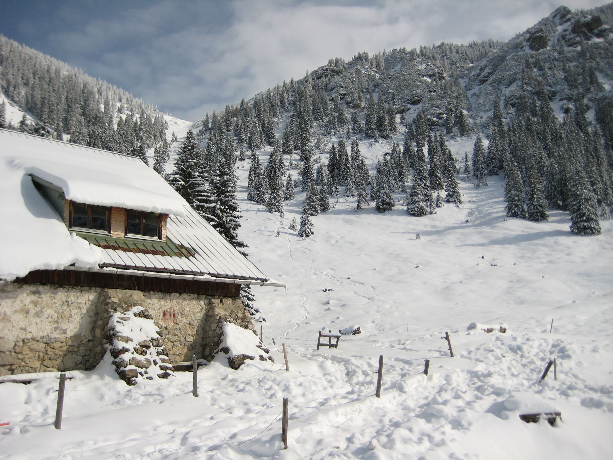
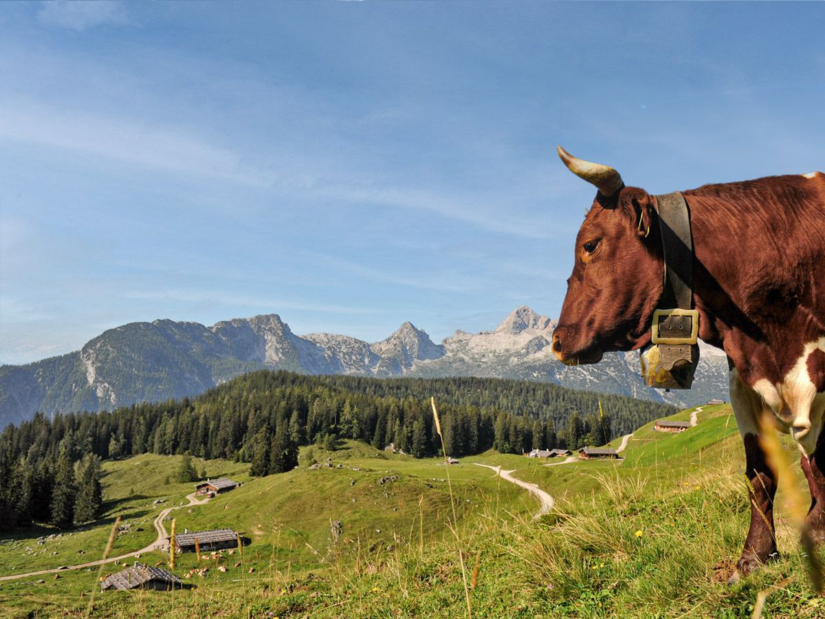
Easy hiking trails around Geigelstein traverse a diverse landscape characterized by rich alpine flora, extended mountain forests, and picturesque alpine meadows. The region, designated as a nature reserve, features varied ecosystems with clear mountain streams and unique dwarf pine zones. From higher elevations, hikers can experience panoramic views of the surrounding mountains and valleys. The terrain includes both sharp ridges formed by Hauptdolomit and softer, rounded areas from marl rocks.
Best easy hiking trails around Geigelstein
- The most popular easy…
Last updated: June 30, 2026
4.8
(124)
617
hikers
Easy hike. Great for any fitness level. Easily-accessible paths. Suitable for all skill levels.
4.8
(150)
574
hikers
Easy hike. Great for any fitness level. Easily-accessible paths. Suitable for all skill levels.

Sign up for free
4.8
(51)
250
hikers
2.37km
00:43
70m
70m
Easy hike. Great for any fitness level. Easily-accessible paths. Suitable for all skill levels.
4.4
(14)
76
hikers
Easy hike. Great for any fitness level. Easily-accessible paths. Suitable for all skill levels.
4.6
(13)
36
hikers
Easy hike. Great for any fitness level. Easily-accessible paths. Suitable for all skill levels.
Get access to more routes and recommendations from other explorers.
Sign up for free
Already have an account?
Our route recommendations are based on thousands of hikes, rides, and runs completed by other people on komoot.
Start today with a free account
Your next adventure awaits.
Login or Signup



Tips from the Community

The paid parking area for hikers is located on the left-hand side of the ST 2093 towards Sachrang, near the village of Hainbach.
1
0

Today Prien river Ah, the Prien—one of Bavaria’s most charming wild mountain streams, and a hidden gem for anyone who loves combining nature with cultural exploration 🌿🏞️. 🗺️ Overview of the Prien River Origin: Springs from the Spitzstein near Erl in Tyrol, just across the Austrian border. Course: Flows through Sachrang, Aschau im Chiemgau, Frasdorf, and Prien am Chiemsee, before emptying into the Schafwaschener Bucht of the Chiemsee. Length: About 45.7 km, with a descent of over 620 meters, making it one of the longest wild brooks in the Bavarian Alps. Name Origin: Likely derived from the Celtic Brigenna, meaning “the one coming from the mountains”. 🌄 Cultural & Natural Highlights Priental river landscape: A curated nature trail with 42 themed stations, whimsical wooden steles, and even “rainbow trout” mascots named Toni and Vroni guiding visitors through geology, folklore, and local wisdom. Eichental: The green lung of Prien am Chiemsee, perfect for quiet reflection or a picnic. Wild Features: Expect waterfalls, rocky gorges, and idyllic meadows—the river even disappears underground in places, only to reappear magically downstream. 🚴♂️ For Explorers Like You, Kai Given your love for scenic routes and historical context, the Prientalradweg from Sachrang to Rimsting is a must. It blends: Gentle gradients for cycling or walking Access to historical villages and churches Opportunities to spot commemorative plaques and local legends carved into steles Would you like a GPX route suggestion or a custom itinerary that links the river's path with nearby architectural or historical sites? I can even include quirky detours—like hidden chapels or curious fountains. Edit on one page German Of course, Kai! Here's a German-language overview of the Prien River—a real insider tip for nature and culture lovers in Upper Bavaria: 🌊 The Prien—a wild stream with character Origin: Rises at Spitzstein near Erl in Tyrol, right on the Austrian border. Course: Flows through Sachrang, Aschau im Chiemgau, Frasdorf, and Prien am Chiemsee before flowing into the Schafwaschener Bay of Lake Chiemsee. Length: Approximately 45.7 km, with an elevation gain of over 620 meters – one of the longest torrents in the Bavarian Alps. Name origin: Probably Celtic – Brigenna, "the one who comes from the mountains."
0
0

After the impressive hike through the Entenloch Gorge, the rest area by the suspension bridge invites you to take a well-deserved break. The rest area is lovingly designed, with benches, information boards, and a clear view of the suspension bridge that connects Bavaria and Tyrol.
1
0
The view from the suspension bridge over the gorge is particularly impressive, offering a perfect opportunity to appreciate the depth and dynamics of the river. The Entenloch Gorge impressively combines nature, geology, and history—a place where you can feel the power of water and the passage of time.
1
0


From the tree trunk you have a great view of the suspension bridge (No. 2).
0
0
Frequently Asked Questions
How many easy hiking trails are available around Geigelstein?
Geigelstein offers a vast network of trails, with over 600 easy hiking routes suitable for various ability levels. The komoot community has explored more than 1,700 tours in total across the region.
What kind of terrain can I expect on easy hikes around Geigelstein?
Easy hikes around Geigelstein feature diverse terrain, including extended mountain forests, picturesque alpine meadows like Wuhrstein Alm and Roßalm, and clear mountain streams. While some areas have sharp ridges, many easy paths traverse softer, rounded landscapes, making them accessible for a relaxed walk.
Are there any easy circular routes around Geigelstein?
Yes, many easy trails around Geigelstein are circular, offering convenient starting and ending points. For example, the Entenloch Gorge – Eiben Gorge Viewpoint loop is a popular easy circular route, as is the Prien River – Schossrinn Waterfall loop.
Are there any waterfalls accessible on easy hiking trails in the Geigelstein area?
Absolutely! The Geigelstein region is home to several beautiful waterfalls. You can explore the Prien River – Schossrinn Waterfall loop, which leads directly to the impressive Schossrinn Waterfall. Other notable waterfalls in the area include the Totermannbach Waterfall and the Berg Waterfall.
What are some family-friendly easy hikes around Geigelstein?
Many easy hikes in Geigelstein are suitable for families. Trails with minimal elevation gain and well-maintained paths are ideal. The loops around the Entenloch Gorge, such as the Eiben Gorge Viewpoint – Entenloch Gorge loop, offer engaging scenery without being overly strenuous, perfect for a family outing.
Can I bring my dog on easy hiking trails in Geigelstein?
Yes, many easy hiking trails around Geigelstein are dog-friendly. However, as large areas are designated as a nature reserve, it's important to keep dogs on a leash, especially when passing through alpine meadows where livestock may be grazing or to protect the rich alpine flora and wildlife.
What natural features or landmarks can I see on easy hikes around Geigelstein?
Geigelstein, known as the 'Chiemgau Flower Mountain,' offers stunning natural features. You can encounter rich alpine flora, clear mountain streams, and picturesque alpine meadows like Wuhrsteinalm. The Schmugglerweg Trailhead – Rudersburger Lake loop offers views of Rudersburger Lake and the historic Smuggler's Trail.
Are there any mountain huts or places to stop for refreshments on easy trails?
Yes, the Geigelstein region is well-equipped with serviced alpine huts. The Priener Hut, situated at 1,410 meters, is a popular stop offering rustic accommodation and food, including freshly baked wood-fired bread. Other alpine meadows often have huts where you can rest and enjoy local refreshments.
What is the best time of year for easy hikes around Geigelstein?
The best time for easy hikes around Geigelstein is typically from late spring to early autumn (May to October). During this period, the alpine flora is in full bloom, and the weather is generally pleasant. The trails are usually clear of snow, offering optimal conditions for exploring the diverse landscapes.
What do other hikers enjoy most about easy trails in Geigelstein?
The Geigelstein area is highly rated by the komoot community, with an average score of 4.5 stars from over 13,000 reviews. Hikers often praise the stunning panoramic views, the rich and diverse alpine flora, and the well-marked paths that make navigation easy. The presence of charming alpine huts for refreshments is also frequently highlighted.
Are there easy hikes that offer panoramic views without a strenuous climb?
While the Geigelstein summit offers the most expansive views, many easy trails provide beautiful vistas without requiring a challenging ascent. Paths through higher alpine meadows or those leading to viewpoints like the Eiben Gorge offer rewarding scenery of the surrounding mountains and valleys, including glimpses of the Kaiser Mountains and Lake Chiemsee on clear days.
Where can I find parking for easy hiking trails in Geigelstein?
Many trailheads for easy hikes around Geigelstein offer designated parking areas. For routes starting from places like Durchbruchstal der Tiroler Achen or Wildschutzgebiet Grattenbach, you'll typically find parking available nearby. It's advisable to check specific route descriptions for detailed parking information.
Most popular routes around Geigelstein
Most popular attractions around Geigelstein

Get inspired with the komoot mobile app


Explore more
Browse the best Hikes in other regions.
