Easy hikes and walks around Thuin
4.4
(5561)
28,157
hikers
1,267
hikes
Easy hiking trails around Thuin are characterized by diverse landscapes, including the scenic Sambre River valley and the nearby Eau d'Heure Lakes region. The area features rolling hills and dense forests, such as the woods of Leernes and the Grand Bon Dieu wood, providing varied terrain for walks. Thuin is situated within the broader Ardennes region, contributing to its natural beauty with lush greenery and riverine paths. The local topography offers gentle gradients suitable for easy exploration.
Best easy hiking…
Last updated: October 24, 2026
4.5
(104)
363
hikers
6.43km
01:43
70m
70m
Easy hike. Easily walkable paths.
4.5
(104)
359
hikers
6.28km
01:41
80m
80m
Easy hike. Easily walkable paths.

4.3
(116)
598
hikers
Easy hike. Easily walkable paths.
4.4
(42)
536
hikers
6.70km
01:44
40m
40m
Easy hike. Easily walkable paths.
4.6
(42)
162
hikers
Easy hike. Easily walkable paths.
4.3
(25)
183
hikers
Easy hike. Easily walkable paths.
4.4
(22)
151
hikers
4.99km
01:24
110m
110m
Easy hike. Easily walkable paths.
4.5
(28)
133
hikers
Easy hike. Easily walkable paths.
4.7
(24)
76
hikers
4.20km
01:09
60m
60m
Easy hike. Easily walkable paths.
4.5
(31)
238
hikers
6.89km
01:51
80m
80m
Easy hike. Easily walkable paths.
Get access to more routes and recommendations from other explorers.
Already have an account?
Our route recommendations are based on thousands of hikes, rides, and runs completed by other people on komoot.
Start today with a free account
Your next adventure awaits.
Popular around Thuin

Easy hikes in Bois Robert

Easy hikes around Étang de Virelles

Easy hikes in Bois Communal De Solre Et De Bersillies
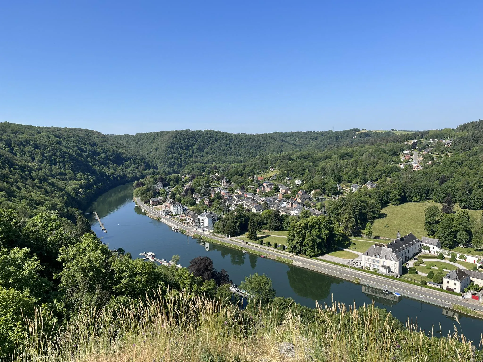
Sentier des abbayes trappistes part 1 – Between nature and gastronomy
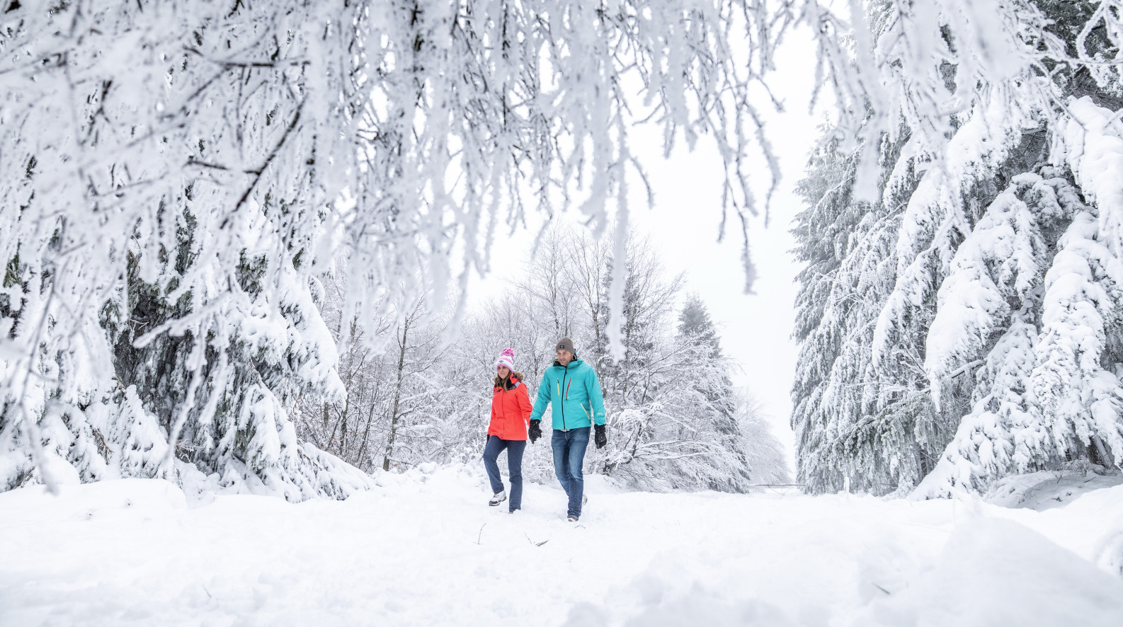
Belgian Ballads – winter hiking in the Belgian Ardennes
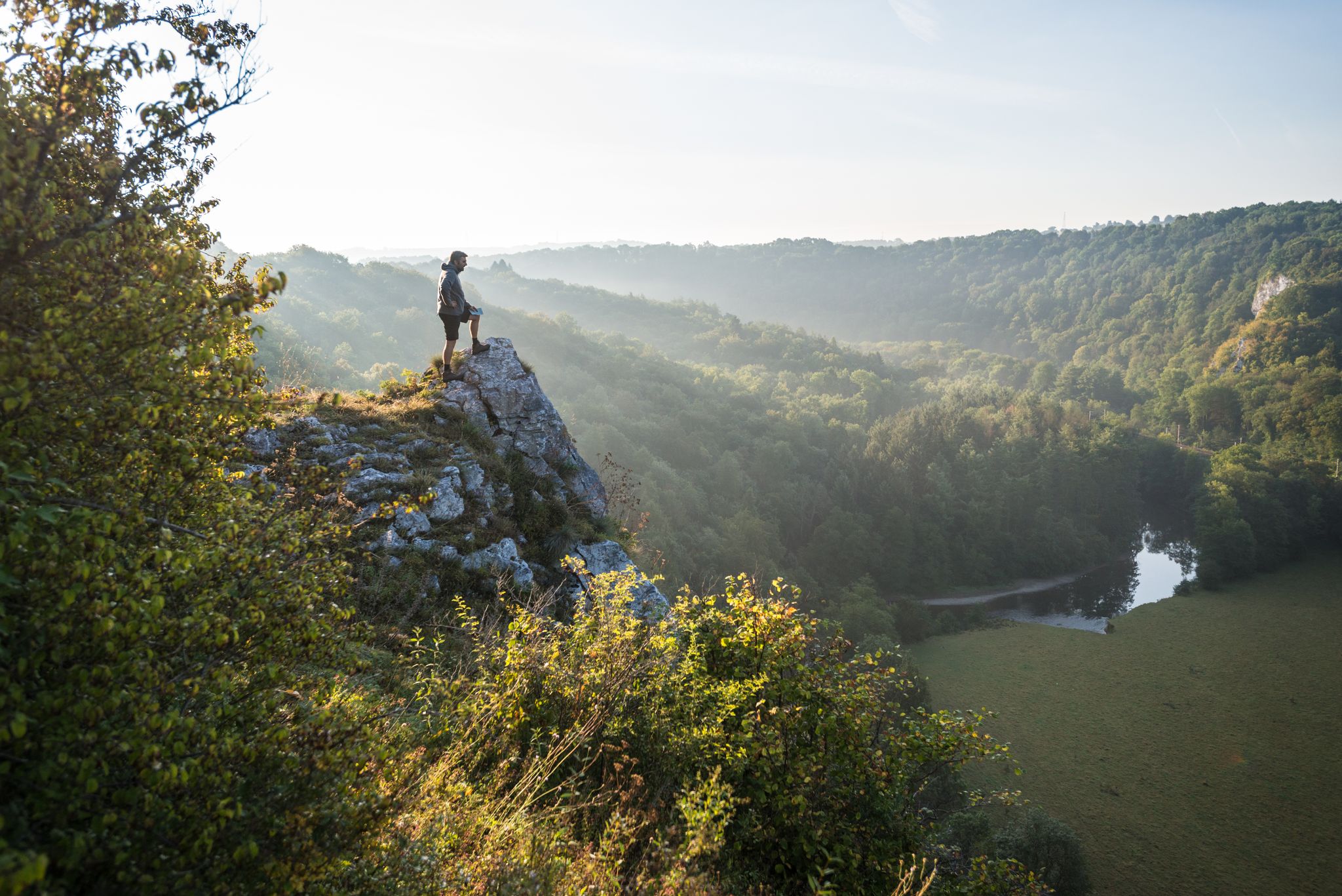
National Park between Sambre and Maas - Long distance hiking in Belgium on the GRP125
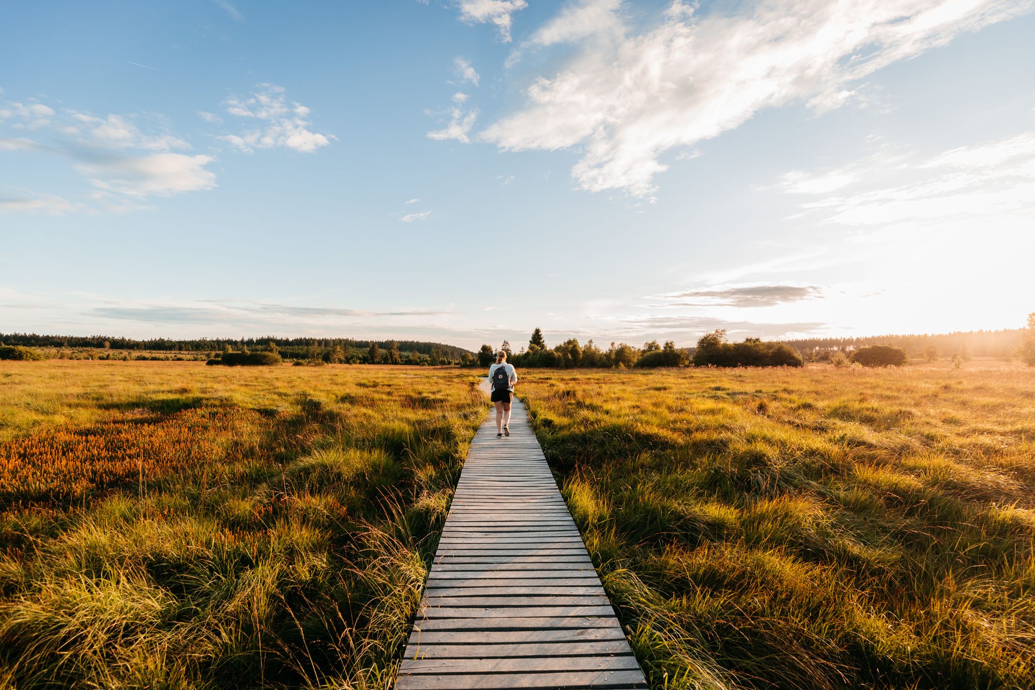
Unspoilt nature and wide views – hiking in Wallonia
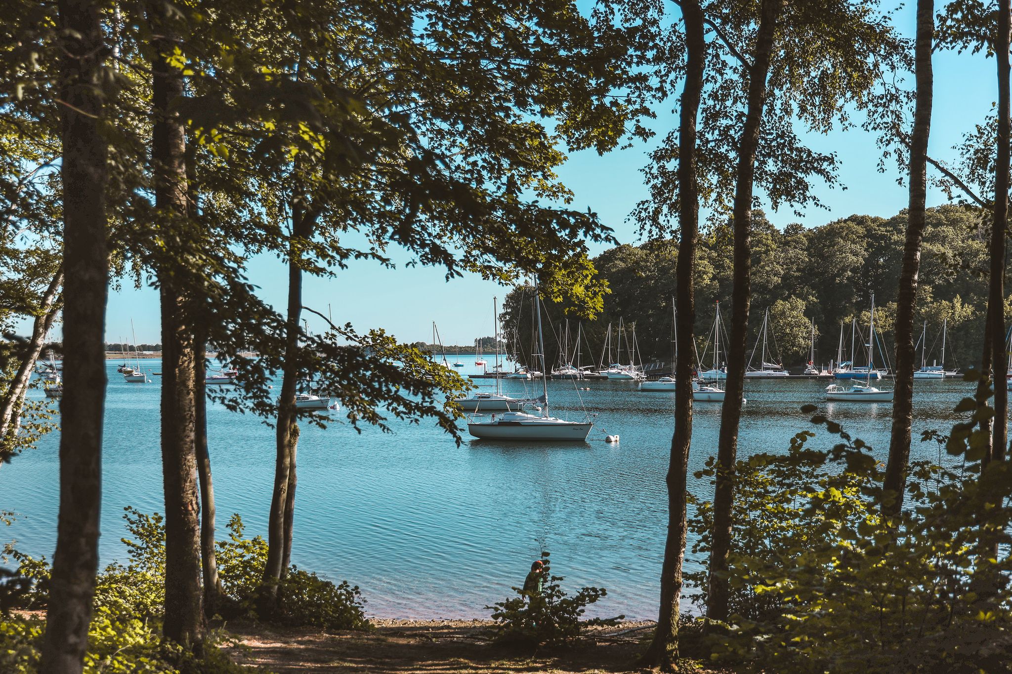
Waterside hikes – Belgium’s Eau d'Heure Lakes region
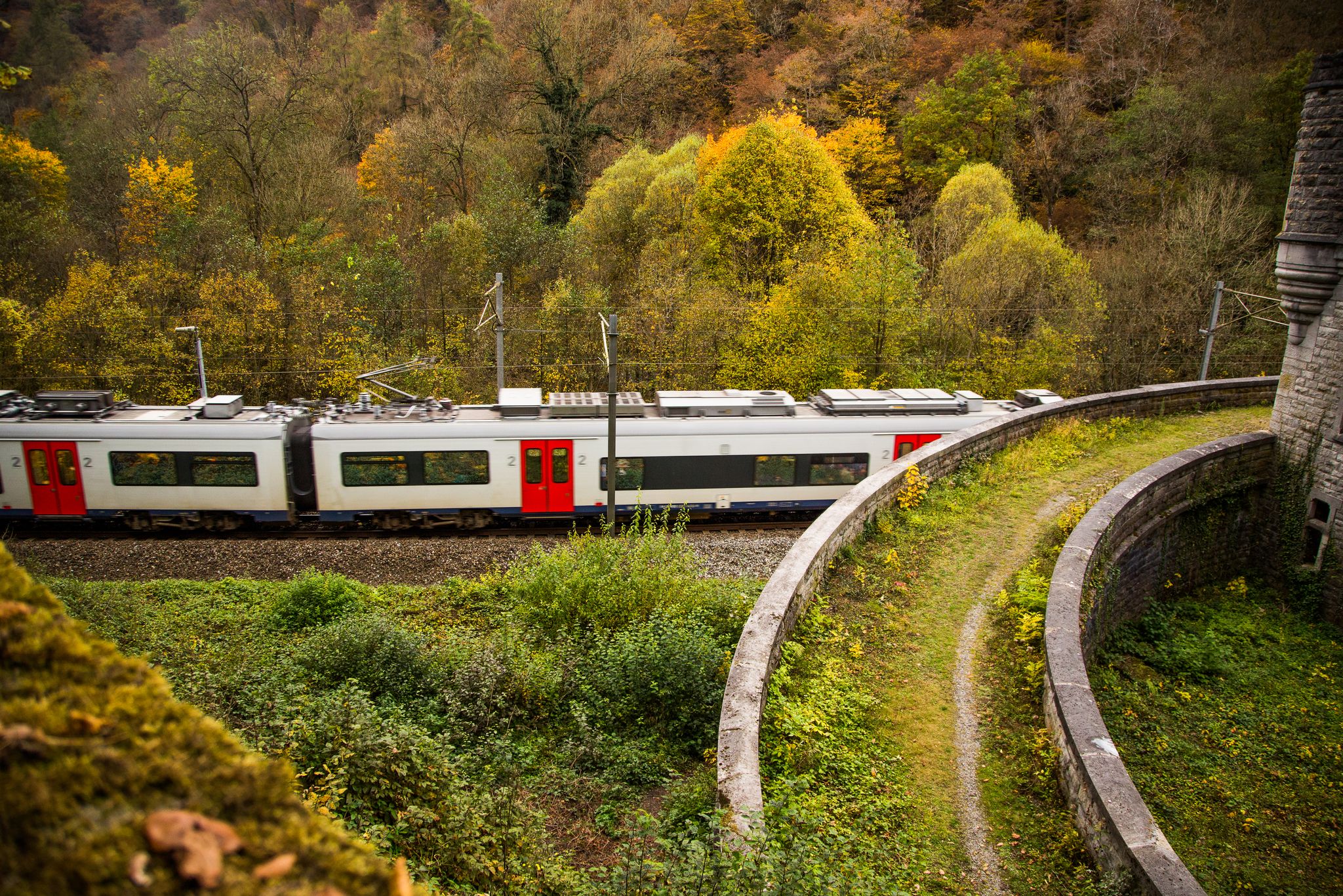
Exploring Belgium’s Wallonia — 8 hikes from station to station
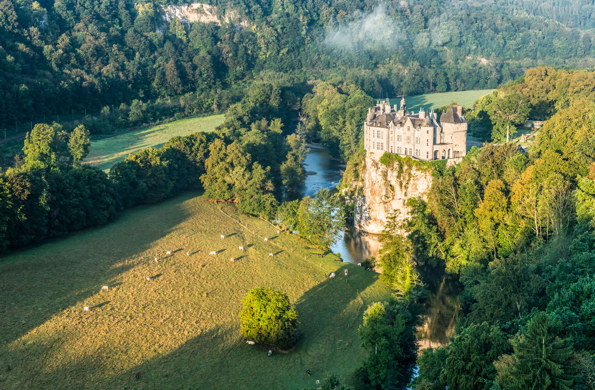
Pure nature on the hiking trails in the Belgian Ardennes
Other adventures around Thuin


Tips from the Community

Clinging to the hillside of Thuin, the Hanging Gardens offer a truly unique landscape. These terraces descending the slope of the Biesmelle valley form a real patchwork of gardens, stones, and greenery. A place where one takes as much pleasure in looking at the landscape as in imagining the history of these terraces once cultivated by the inhabitants of the town. One of Thuin's treasures, to be discovered along the hike.
1
0
After the wooded paths, the Grand Bon Dieu reveals a completely different face, a hillside open to the Biesmelle valley. The relief, the light, and this open view offer a beautiful respite in the middle of the forest. A small natural belvedere that suddenly gives another dimension to the hike.
2
0

Nice place for a picnic in case of rain.
0
0

Super route, along the shoreline of the lake. Almost all the time asphalt, so well suited for cyclists or people with children.
0
0


beautiful walk to do with the family
1
0

At the top of the cobbled alley leading up from the "La Piraille" neighborhood, one could access the upper town via a postern (posty, sentry post), which was demolished in 1822. The last resident of this sentry post was F. Harlequin: he first gave his name to the posty and later to the steep alley. For several centuries, this alley was nothing more than a muddy ditch beneath the city walls, collecting all the dirty water from the town hall, which was located within the Notger city walls (10th century). Thuin was a fortified town and successively built three ramparts around the town halls of the four neighborhoods: "le Marchet," "la Crapaure," "la Grand'Rue," and "le Crepion." After the wars against Burgundy, Thuin was forced to demolish its ramparts and towers. The brick tower that currently stands behind the houses encloses the foundations of a massive corner tower made of rubble stone. This tower is still part of the first wall that Notger, the first Prince-Bishop of Liège, had built in the tenth century.
5
0
Frequently Asked Questions
How many easy hiking trails are there around Thuin?
Thuin offers a wide selection of easy hiking trails, with nearly 500 routes available for exploration. These trails are highly rated by the komoot community, averaging 4.4 stars from over 4,400 reviews.
Are there family-friendly easy hikes in Thuin?
Yes, Thuin is an excellent destination for family-friendly easy hikes. Many trails feature gentle gradients and scenic paths suitable for all ages. For example, the Promenade de l'Eau Blanche — Entre-Sambre-et-Meuse National Park is a great option, exploring the natural environment of the national park.
Can I bring my dog on easy hikes in Thuin?
Many easy hiking trails in Thuin are dog-friendly, allowing you to enjoy the outdoors with your canine companion. It's generally recommended to keep dogs on a leash, especially in nature reserves or areas with livestock. Trails like the Lompret and the wild waters of the Eau Blanche offer pleasant riverside walks suitable for dogs.
What kind of natural features can I expect on easy hikes in Thuin?
Easy hikes in Thuin showcase diverse natural features, including the scenic Sambre River valley, lush forests like the woods of Leernes and Grand Bon Dieu wood, and the nearby Eau d'Heure Lakes region. You'll find paths winding along riverbanks, through meadows, and around lake shores, offering varied and picturesque landscapes.
Are there any historical landmarks or attractions along easy trails?
Absolutely. Thuin's easy trails often lead past significant historical sites. A notable example is the Aulne Abbey Ruins – Manual Lock at Aulne Abbey loop from Abbaye d'Aulne, which takes you through historical sites and natural surroundings. The Plate-Taille Dam and Eau d'Heure Dam are also impressive man-made monuments in the nearby lake region.
Are there easy hikes accessible by public transport in Thuin?
Thuin has public transport options that can bring you close to various trailheads. While specific route details for public transport access vary, many trails start near the town center or are reachable via local bus services. It's advisable to check local transport schedules for the most convenient access to your chosen starting point.
What is the best time of year for easy hikes in Thuin?
The best time for easy hikes in Thuin is generally from spring through autumn, when the weather is mild and the natural scenery is at its most vibrant. Spring brings blooming flowers, summer offers lush greenery, and autumn provides beautiful foliage. Winter walks can also be charming, especially along the Ravel de la Sambre et de l'Escaille, but require appropriate gear for colder conditions.
What do other hikers say about the easy trails in Thuin?
The easy trails in Thuin are highly regarded by the komoot community, with an average rating of 4.4 stars. Hikers frequently praise the region's diverse landscapes, including the tranquil river valleys and the serene Eau d'Heure Lakes. Many appreciate the well-maintained paths and the opportunity to combine nature with historical exploration.
How long do easy hikes in Thuin typically take?
Easy hikes in Thuin vary in length and duration, but many can be completed within 1.5 to 2 hours. For instance, the Lake Plate Taille – Eau d'Heure Lakes loop from Village La Clairière du Lac is about 6 km and takes approximately 1 hour 33 minutes. The Wooden Shelter and Picnic Area – Lake Eau d'Heure loop from Eau d'heure is slightly longer at 7.2 km, taking around 1 hour 55 minutes.
Are there easy trails near the Eau d'Heure Lakes?
Yes, the Eau d'Heure Lakes region, located near Thuin, offers numerous easy hiking opportunities. Trails like the Lake Plate Taille – Eau d'Heure Lakes loop from Village La Clairière du Lac and the Wooden Shelter and Picnic Area – Lake Eau d'Heure loop from Eau d'heure provide scenic walks around the lakes, allowing you to enjoy the water and surrounding woodlands.
Can I find places to eat or drink near easy hiking trails?
Yes, Thuin and its surrounding areas offer various options for refreshments. The Abbey of Aulne, a historical site often integrated into hiking routes, even features an Abbey Brewery for local delicacies. Many towns and villages along the trails will have cafes, pubs, or restaurants where you can stop for a break.
Are there any easy trails that offer great viewpoints?
Thuin's hilly terrain provides several opportunities for scenic viewpoints on easy trails. While not explicitly listed as a viewpoint trail, the Panorama – Panorama loop from Thuin suggests a route designed to offer expansive views. Additionally, the View over the Étang de Virelles is a specific highlight offering a great vista.
Most popular routes around Thuin
Most popular attractions around Thuin

Get inspired with the komoot mobile app


Didn’t find what you were looking for?
Check out more Hikes throughout Thuin below and find the perfect route in your destination.
