The best walks and hikes around Kirchheilingen
4.6
(781)
3,139
hikers
346
hikes
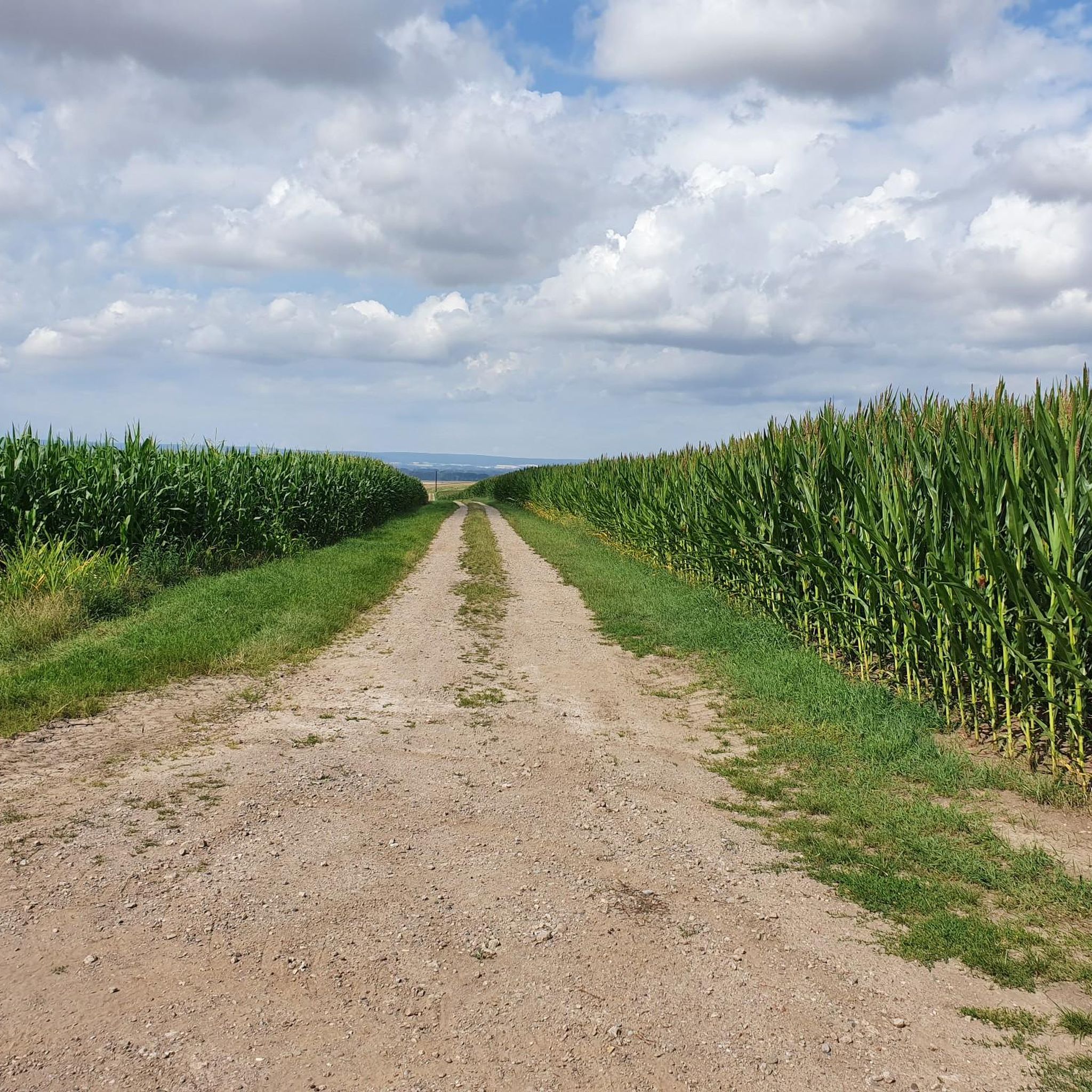
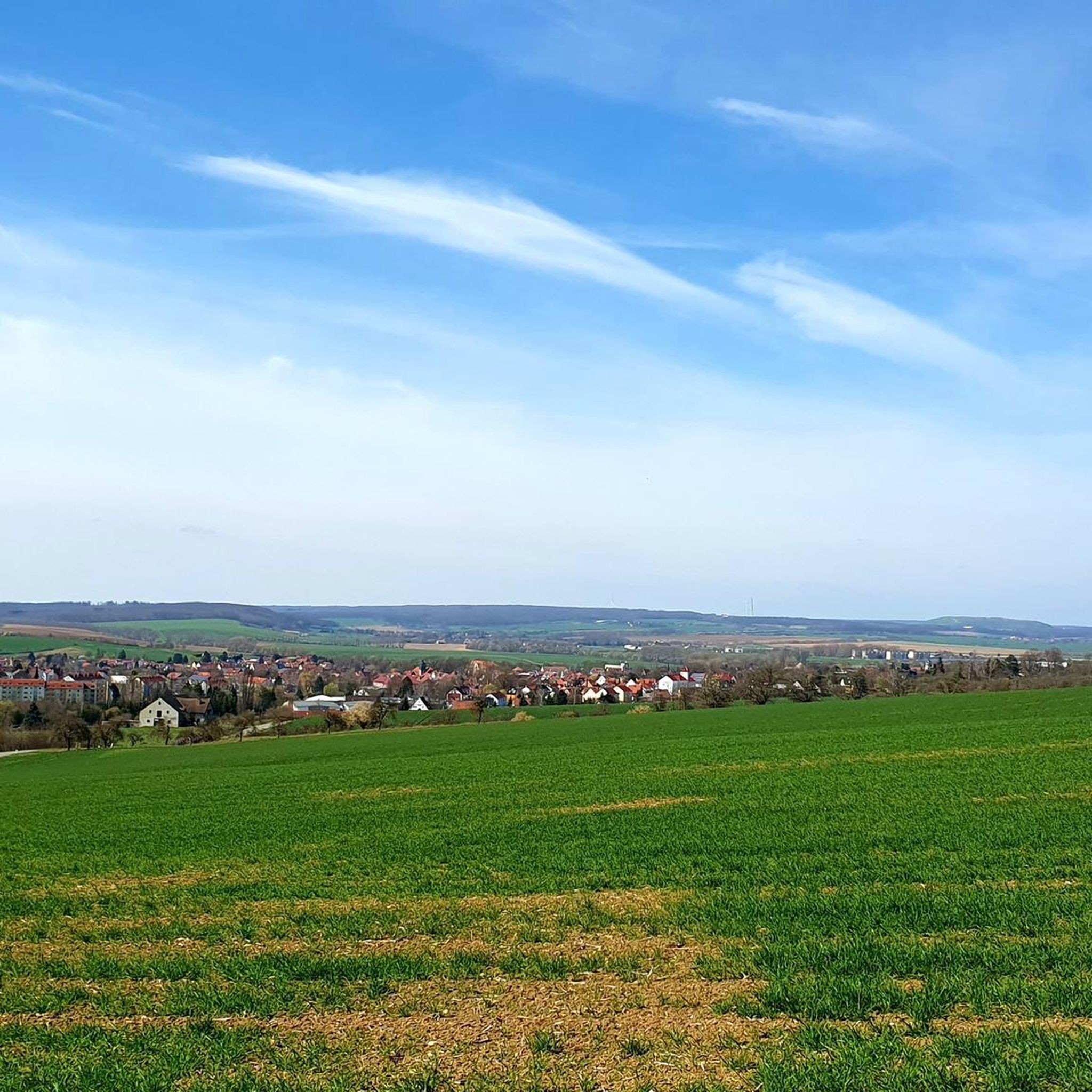
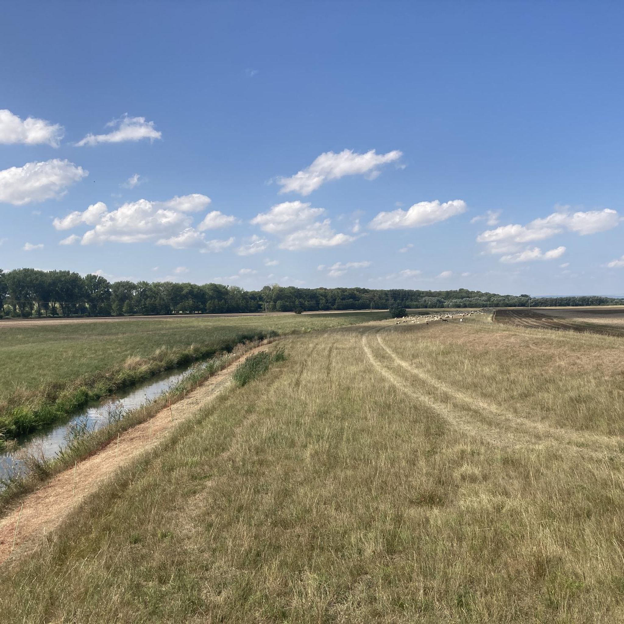
Hiking trails around Kirchheilingen offer access to diverse natural landscapes within Thuringia. The region is characterized by its proximity to the Unstrut Valley Nature Reserve, featuring a meandering river and dense bank vegetation. It also borders the Eichsfeld-Hainich-Werratal Nature Park and is near Hainich National Park, known for its ancient beech forests. Elevated terrain, such as the Heilinger Heights, provides additional scenic variety for outdoor activities.
Best hiking trails around Kirchheilingen
- The most popular hiking route is St. Bonifatius Church…
Last updated: August 25, 2026
4.0
(2)
7
hikers
9.36km
02:31
110m
110m
Moderate hike. Good fitness required. Easily-accessible paths. Suitable for all skill levels.
4.8
(4)
13
hikers
6.15km
01:39
80m
80m
Easy hike. Great for any fitness level. Easily-accessible paths. Suitable for all skill levels.

Sign up for free
5.0
(2)
4
hikers
8.40km
02:11
50m
50m
Moderate hike. Good fitness required. Easily-accessible paths. Suitable for all skill levels.
4.7
(6)
4
hikers
Easy hike. Great for any fitness level. Easily-accessible paths. Suitable for all skill levels.
3.0
(1)
2
hikers
4.74km
01:17
70m
70m
Easy hike. Great for any fitness level. Easily-accessible paths. Suitable for all skill levels.
Get access to more routes and recommendations from other explorers.
Sign up for free
Already have an account?
Our route recommendations are based on thousands of hikes, rides, and runs completed by other people on komoot.
Start today with a free account
Your next adventure awaits.
Login or Signup

Tips from the Community

Church saints, inconspicuous but wonderful to behold. Along the former old railway line, now a cycling and hiking path, stands a converted DR railway carriage, which can be booked for an overnight stay through the "Landfactur" (a local company), among others. A detour from here to Volkenroda Monastery, about 15 km by bike, is also worthwhile. The local butcher shop, located directly on the main road, provides excellent supplies (e.g., Thuringian sausage).
1
0

Single stamps, often no highlights, somewhere in the fields and meadows, where hares and hedgehogs usually say goodnight to each other, where thousands now go and are eyed strangely by locals – did it have to be chosen like this? Touringen organizers, it could definitely be done better! Exploring Thuringia is truly interesting and beautiful, we say that so often on the road! You get to places you'd never have strayed into before. But guiding thousands of people to often questionable individual highlights is truly ecologically counterproductive. What were the people in charge thinking? 😳
3
0

Unfortunately it was closed. Beautiful village church.
0
0
was unfortunately closed. Cemetery is around.
0
0
Stamp fetched and further
0
0

Now “received” the stamp on foot and also by bike… However, whether one absolutely has to go there is a matter of opinion. 🤷🏻♂️
2
0

There hasn't been a train here since the end of 1969. The old station building is still in good condition and the name of the station, Kirchheilingen, is still on the building. You can take a good break here at the train station during a hike or bike tour. If you have a little more time, you are invited to take a look at the Eisenbahnmuseum Kircheilingen (https://www.badtennstedt.de/verzeichnis/objekt.php?mandat=93645). And if you end your tour in Kirchheilingen, you can spend the night here in a real railway carriage (http://www.kleinbahnpension.de)
6
0
The Church of St. Boniface was built in 1595 and is now a listed church. Definitely worth a visit. More information about St. Bonifatius is available at https://de.wikipedia.org/wiki/St._Bonifatius_(Kirchheilingen)
5
0
Frequently Asked Questions
How many hiking trails are available around Kirchheilingen?
There are over 330 hiking routes around Kirchheilingen, offering a wide range of options for all skill levels. This includes more than 210 easy trails, over 110 moderate routes, and a few challenging paths for experienced hikers.
What kind of terrain can I expect on hikes near Kirchheilingen?
The terrain around Kirchheilingen is diverse, featuring picturesque river valleys, elevated viewpoints on the Heilinger Heights, and sections bordering ancient beech forests like those found in the nearby Hainich National Park. You'll find a mix of flat paths along rivers and gentle ascents through varied landscapes.
Are there any family-friendly hiking options in Kirchheilingen?
Yes, many of the trails are suitable for families. For an easy and enjoyable walk, consider the Kirchheilingen Soccer Field loop from Kirchheilingen. It's a 3.8-mile (6.1 km) path with minimal elevation, perfect for a leisurely outing with children.
Can I bring my dog on the hiking trails?
Most trails in the Kirchheilingen region are dog-friendly, allowing you to enjoy the natural beauty with your canine companion. Always ensure your dog is on a leash, especially in nature reserves, and be mindful of local regulations and wildlife.
What natural attractions can I see while hiking around Kirchheilingen?
Hikers can explore significant natural features such as the Unstrut Valley Nature Reserve between Nägelstedt and Großvargula, known for its meandering river and rich biodiversity, including over 35 species of butterflies. The region also borders the Eichsfeld-Hainich-Werratal Nature Park and is close to the ancient beech forests of Hainich National Park.
Are there any circular hiking routes available?
Yes, many routes around Kirchheilingen are designed as loops. A popular moderate option is the St. Bonifatius Church loop from Kirchheilingen, which covers 5.8 miles (9.3 km) and offers varied scenery. For an easier circular walk, try the St. Bonifatius Church – Ahornhof Stud Farm loop from Kirchheilingen.
What is the best time of year to go hiking in Kirchheilingen?
The spring and summer months are particularly beautiful for hiking around Kirchheilingen, when the landscape is lush and vibrant. The Unstrut Valley Nature Reserve, in particular, offers a rich display of flora and fauna during these seasons.
What do other hikers say about the trails in Kirchheilingen?
The hiking routes in Kirchheilingen are highly regarded by the komoot community, with an average rating of 4.6 stars from over 690 reviews. Hikers often praise the varied terrain, well-maintained paths, and the peaceful natural surroundings.
Are there any historical landmarks or castles to explore near the hiking trails?
Yes, you can combine your hikes with visits to historical sites. Notable nearby attractions include Friederike's Little Palace and the Herbsleben Castle Ruins. These offer interesting cultural stops within the broader network of outdoor exploration.
Are there any easy hiking trails for beginners?
Absolutely. For beginners or those seeking a relaxed walk, the Weathered Birdhouse loop from Porenspeicher UGS Allmenhausen is an excellent choice. It's an easy 2.9-mile (4.7 km) route with minimal elevation gain, taking about 1 hour and 17 minutes to complete.
Where can I find parking for hiking trails in Kirchheilingen?
While specific parking details vary by trailhead, many routes, especially those starting directly from Kirchheilingen or nearby villages, offer accessible parking options. It's advisable to check the individual route details on komoot for the most precise information on starting points and parking availability.
Are there any trails with viewpoints or scenic overlooks?
The region includes the Heilinger Heights, which offer elevated terrain and scenic views of the surrounding picturesque landscape. Many trails will lead you through areas where you can enjoy expansive vistas of the Thuringian countryside.
Most popular attractions around Kirchheilingen

Get inspired with the komoot mobile app


Explore more
Browse the best Hikes in other regions.
