The best walks and hikes around Kirchschlag bei Linz
4.5
(3154)
25,644
hikers
29
hikes
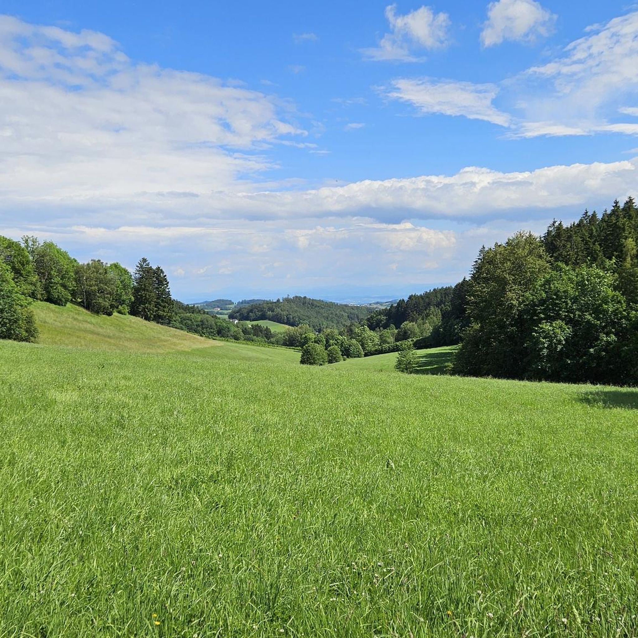
Hiking around Kirchschlag bei Linz offers diverse landscapes characterized by gentle hills, green forests, and clear, fog-free mountain air. The region provides a variety of hiking experiences, from family-friendly paths to more challenging routes. Hikers can explore scenic surroundings with panoramic viewpoints and historic landmarks. This area is a popular recreational spot, known for its enchanting distant views.
Best hiking trails in Kirchschlag bei Linz
- The most popular hiking route is Breitenstein – Stone Mammoth Sculpture Lacky loop from Bezirk…
Last updated: July 19, 2026
4.4
(31)
110
hikers
Moderate hike. Good fitness required. Easily-accessible paths. Suitable for all skill levels.
4.7
(7)
79
hikers
10.4km
03:04
300m
300m
Moderate hike. Good fitness required. Easily-accessible paths. Suitable for all skill levels.

Sign up for free
4.9
(9)
70
hikers
9.85km
02:55
300m
300m
Moderate hike. Good fitness required. Easily-accessible paths. Suitable for all skill levels.
4.7
(15)
56
hikers
7.78km
02:30
340m
340m
Moderate hike. Good fitness required. Easily-accessible paths. Suitable for all skill levels.
4.8
(12)
47
hikers
6.16km
02:01
290m
290m
Moderate hike. Good fitness required. Easily-accessible paths. Suitable for all skill levels.
Get access to more routes and recommendations from other explorers.
Sign up for free
Already have an account?
Our route recommendations are based on thousands of hikes, rides, and runs completed by other people on komoot.
Start today with a free account
Your next adventure awaits.
Login or Signup
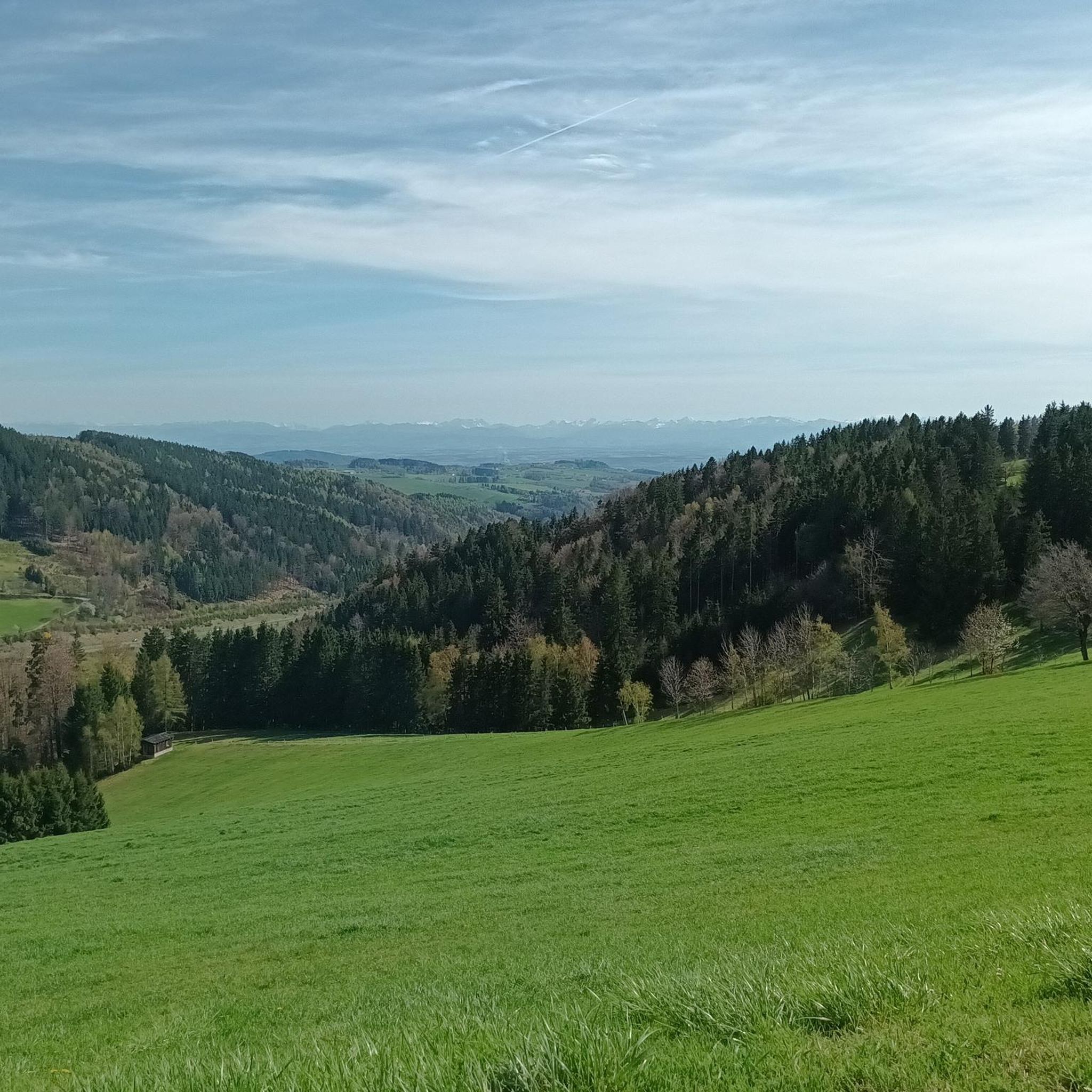
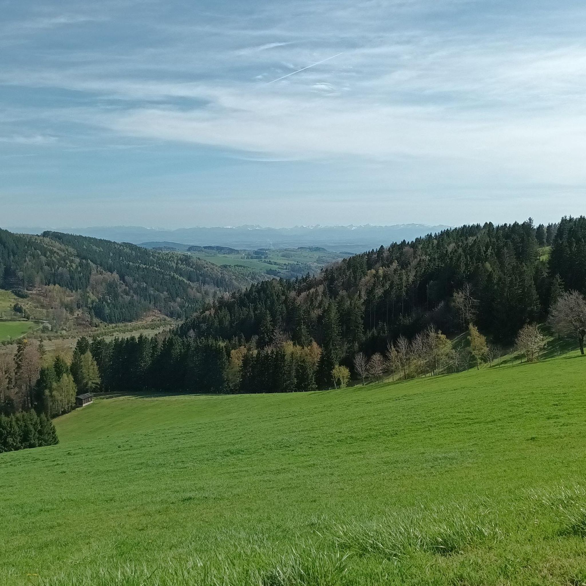
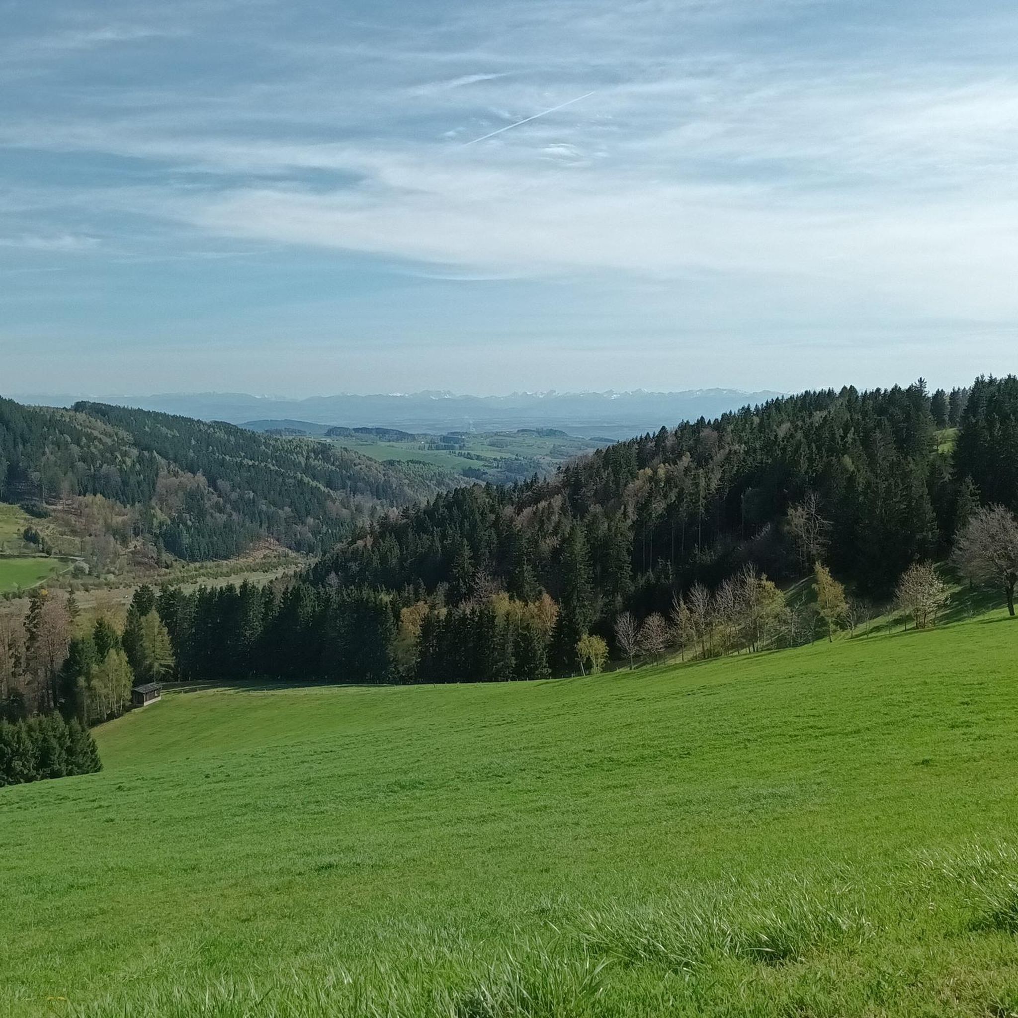
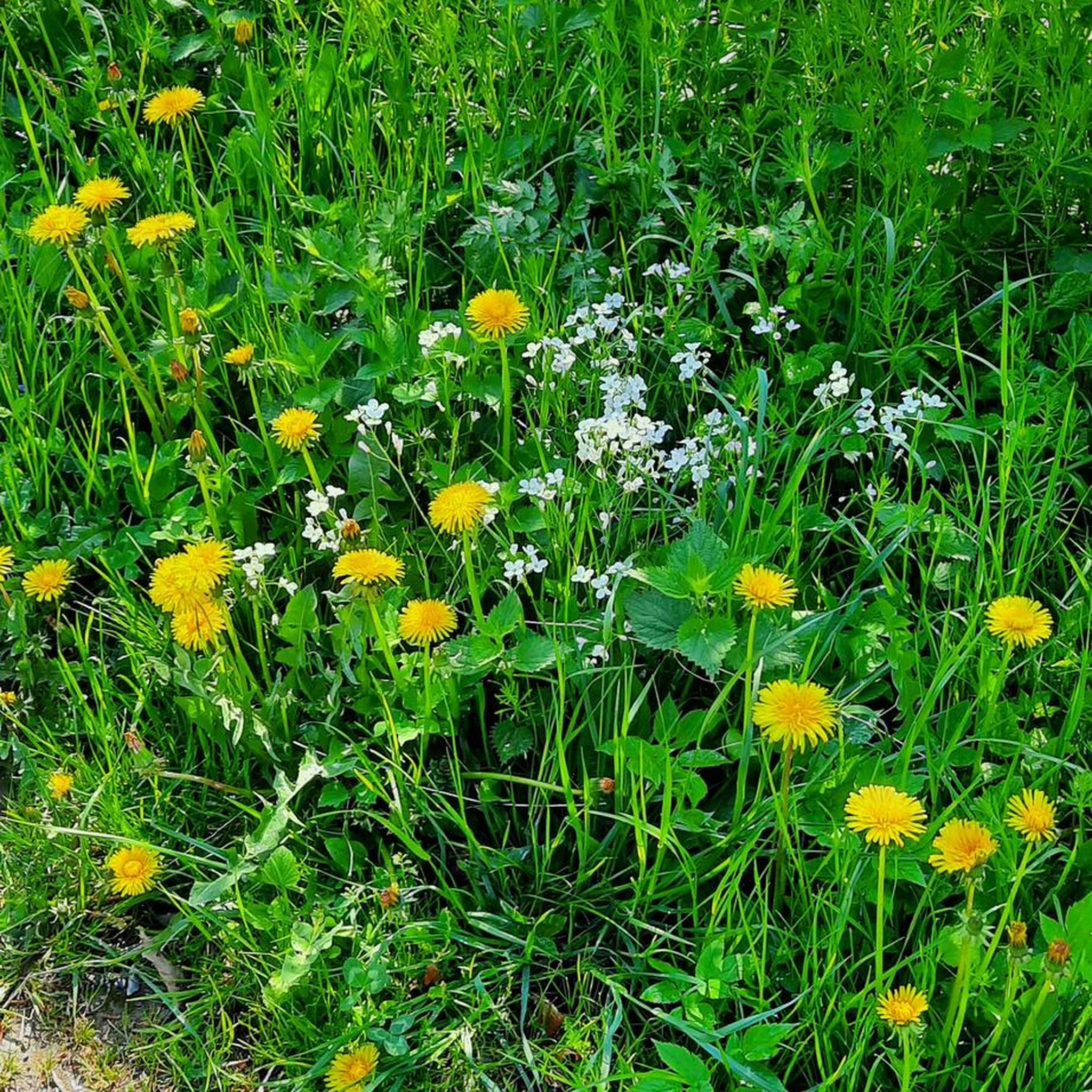
Tips from the Community

In 2020, the chapel was extensively renovated.
3
0
The current cross was consecrated in 1973 and is today a well-known landmark for hikers and cyclists
4
0
The summit cross on the Gis (Lichtenberg) was completely renewed and re-consecrated in June 2026!
3
0
Built in 1856 and named after Princess Gisela, a daughter of Emperor Franz Joseph. In 1960, two stories were added.
3
0

Built in 1856, the Giselawarte is located at 927m above sea level.
0
0

The parish church of St. Anne, with its attached parish office and parish hall, is well worth a visit.
0
0

Transmitter near Lichtenberg
6
0
Frequently Asked Questions
How many hiking trails are available in Kirchschlag bei Linz?
There are nearly 30 hiking trails around Kirchschlag bei Linz, offering a variety of experiences from easy strolls to more challenging routes. The komoot community has explored over 6,000 kilometers in the area.
What is the best time of year to go hiking in Kirchschlag bei Linz?
The best seasons for hiking in Kirchschlag bei Linz are spring, when nature is in full bloom, and autumn, when the forests transform into a vibrant spectacle of colors. The region is known for its clear, fog-free mountain air, making it pleasant for outdoor activities.
What kind of terrain can I expect on hikes around Kirchschlag bei Linz?
Hikers in Kirchschlag bei Linz can expect diverse landscapes characterized by gentle hills and green forests. The trails offer a mix of easy, moderate, and some difficult sections, often leading to panoramic viewpoints.
Are there any family-friendly hiking trails in Kirchschlag bei Linz?
Yes, Kirchschlag bei Linz offers several family-friendly paths. The "Wasserwichtelweg" (Water Goblin Trail) is specifically designed for families, allowing children to discover the "Wasserwichtelwelt" along a roughly 4 km path. The "Kulturweg Kirchschlag" also features playgrounds and is suitable for families.
Are there any circular hiking routes in Kirchschlag bei Linz?
Many of the trails in Kirchschlag bei Linz are circular routes, perfect for exploring the area without retracing your steps. For example, the Breitenstein – Stone Mammoth Sculpture Lacky loop and the Lichtenberg Transmitter – Giselawarte loop are popular circular options.
What interesting landmarks or natural features can I see along the hiking trails?
Hiking trails in Kirchschlag bei Linz lead to various points of interest. You can discover the unique Pfenningberg Summit Cross, the Koglerauer Spitz, or the Ura Stoa Summit. The "Kulturweg Kirchschlag" also allows you to explore historic landmarks like the parish church of St. Katharina and Weinberg Castle.
Are there any trails with panoramic views?
Absolutely. The region is known for its enchanting distant views. The "Höhenrausch" lookout point provides a breathtaking panoramic vista over Kirchschlag and extending to the city of Linz. The Giselawarte (927 m), accessible via the Lichtenberg Transmitter – Giselawarte loop, also offers superb views from its observation tower.
What do other hikers enjoy most about hiking in Kirchschlag bei Linz?
The area is highly rated by the komoot community, with an average score of 4.5 stars from over 600 reviews. Hikers often praise the diverse landscapes, the well-maintained trails, and the stunning panoramic views, especially from spots like the Giselawarte.
Are there any historical sites to explore while hiking?
Yes, the "Kulturweg Kirchschlag" is a circular route that allows visitors to explore both the historic center of the municipality and its scenic surroundings, including historical landmarks such as the parish church of St. Katharina and Weinberg Castle. You can also visit the Wildberg Castle Ruins on a dedicated loop trail.
Are there any specific trails that feature unique natural elements?
Yes, some trails feature unique natural elements. For instance, the Breitenstein – Stone Mammoth Sculpture Lacky loop includes the distinctive Stone Mammoth Sculpture Lacky. Another route, the Wildberg Castle Ruins – Insect Hotel Kirchschlag loop, passes by the Insect Hotel Kirchschlag.
Is there public transport access to hiking trails in Kirchschlag bei Linz?
Kirchschlag bei Linz is well-connected, and public transport options are available to reach the area. For detailed information on specific routes and connections, it's advisable to check local public transport schedules.
Are there any easy hiking options for beginners or those looking for a relaxed walk?
Yes, out of the nearly 30 trails, 14 are classified as easy, making them suitable for beginners or those seeking a relaxed walk. These routes often feature gentle hills and well-maintained paths through green forests.
Can I find information about Kirchschlag bei Linz beyond hiking?
Yes, Kirchschlag bei Linz offers a range of other outdoor activities, including an extensive mountain biking network, Europe's largest archery center on Breitenstein, a high ropes course, and winter sports. For more general information about the region, you can visit Linz Tourismus.
Most popular routes around Kirchschlag bei Linz
Most popular attractions around Kirchschlag bei Linz

Get inspired with the komoot mobile app


Explore more
Browse the best Hikes in other regions.
