The best walks and hikes around Kirchweiler
4.6
(2971)
11,071
hikers
16
hikes
Hiking around Kirchweiler, located in Germany's Volcanic Eifel region, offers diverse landscapes shaped by volcanic activity. The area features distinctive maars, which are volcanic lakes, alongside extensive forests, stream valleys, and various rock formations. This geological diversity provides a range of hiking experiences across varied terrain.
Best hiking trails around Kirchweiler
- The most popular hiking route is Ernstberg – Freudenkoppe Castle Ruins loop from Landkreis Vulkaneifel, a 12.8 miles (20.6 km) trail that takes 5 hours 55 minutes to…
Last updated: June 28, 2026
4.4
(7)
29
hikers
20.6km
05:55
510m
510m
Hard hike. Very good fitness required. Easily-accessible paths. Suitable for all skill levels.
4.6
(5)
31
hikers
16.3km
04:44
420m
420m
Moderate hike. Good fitness required. Easily-accessible paths. Suitable for all skill levels.

Sign up for free
5.0
(2)
10
hikers
Moderate hike. Good fitness required. Easily-accessible paths. Suitable for all skill levels.
3.0
(2)
5
hikers
10.6km
03:04
270m
260m
Moderate hike. Good fitness required. Easily-accessible paths. Suitable for all skill levels.
4.0
(2)
5
hikers
6.41km
01:50
150m
150m
Easy hike. Great for any fitness level. Easily-accessible paths. Suitable for all skill levels.
Get access to more routes and recommendations from other explorers.
Sign up for free
Already have an account?
Our route recommendations are based on thousands of hikes, rides, and runs completed by other people on komoot.
Start today with a free account
Your next adventure awaits.
Login or Signup
Tips from the Community

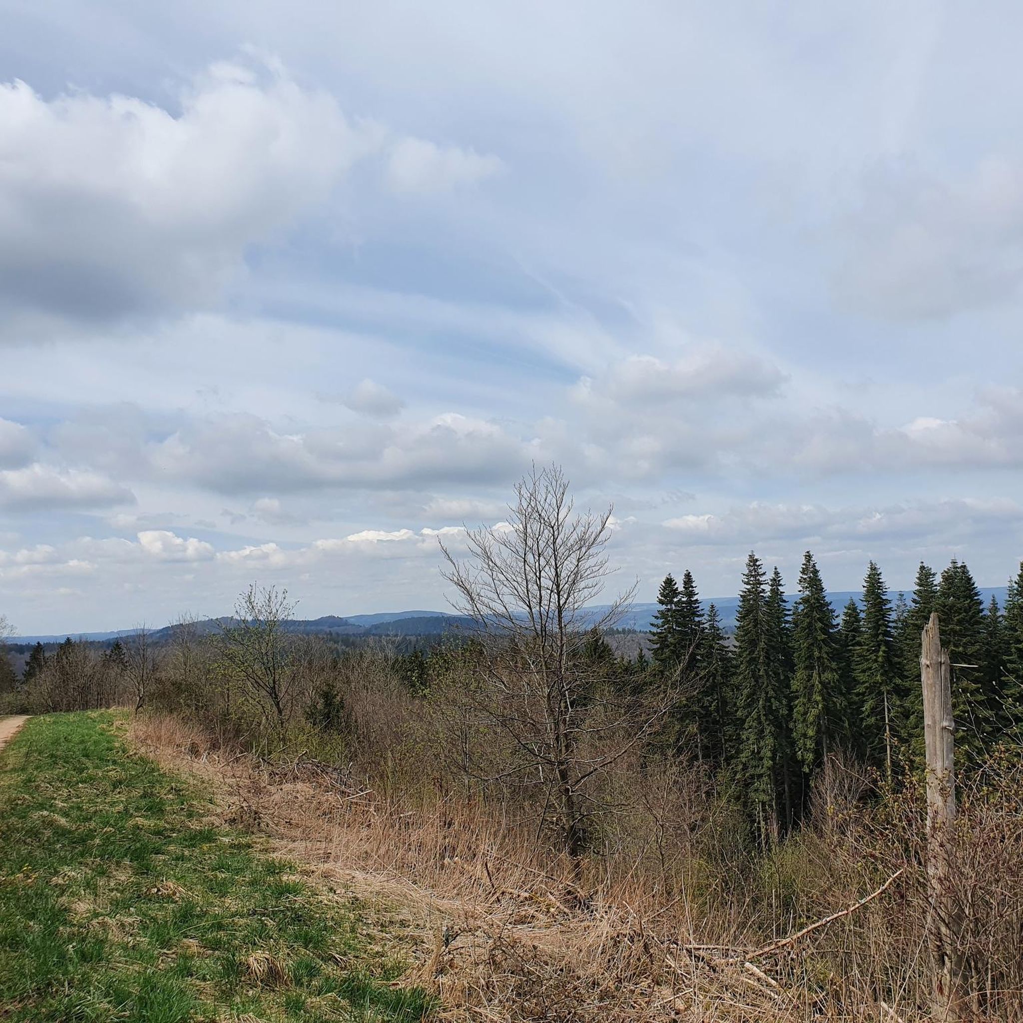
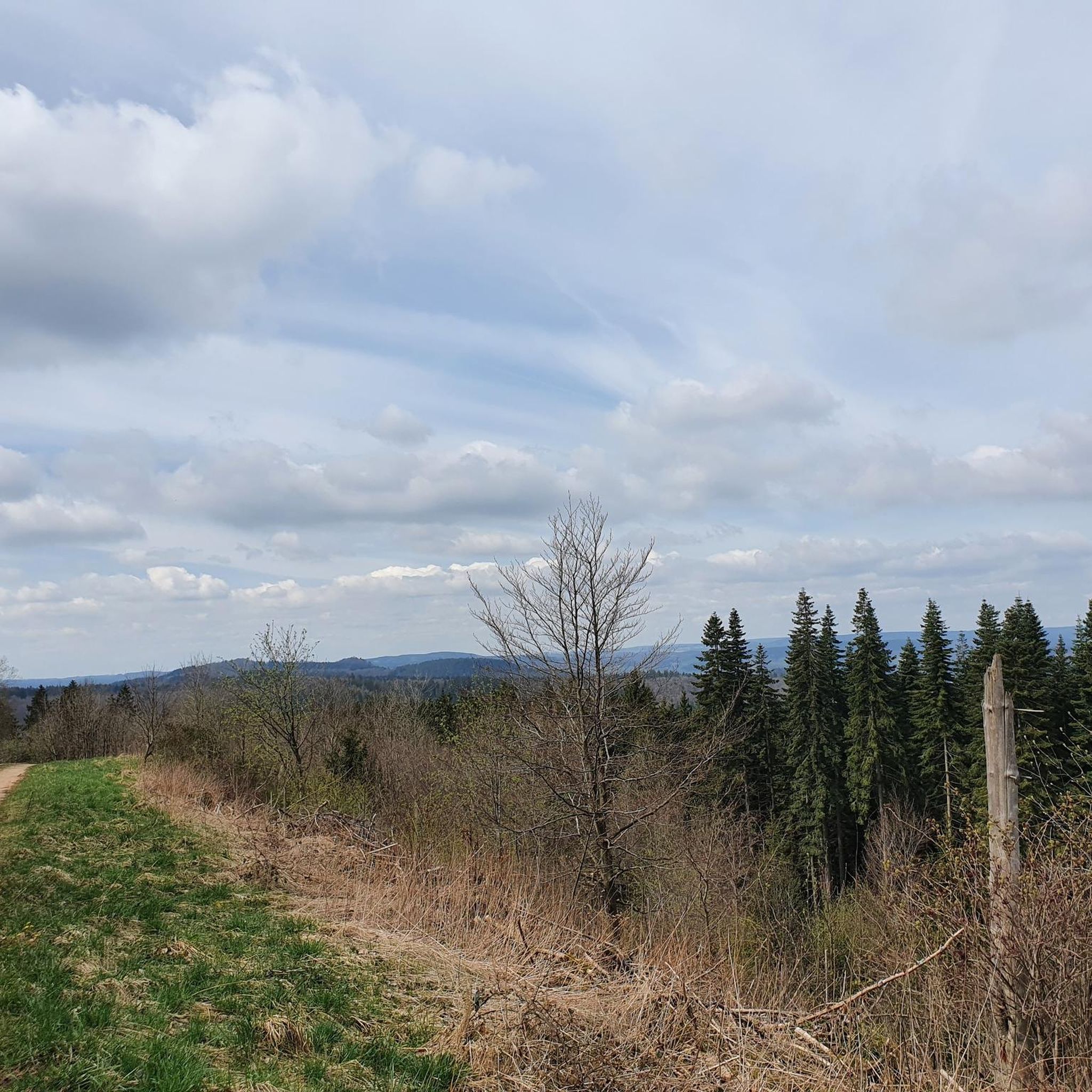
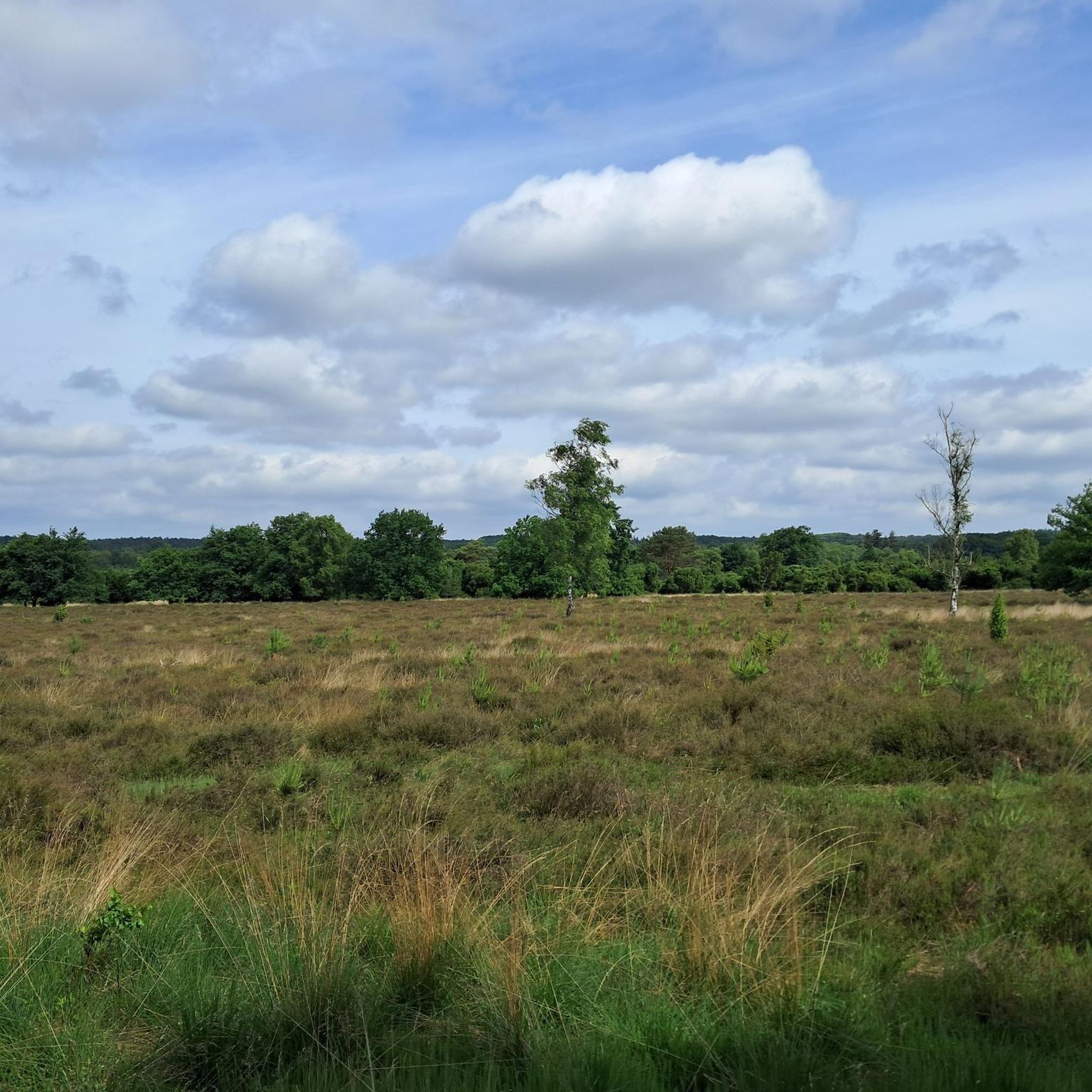
Great panoramic view overlooking Kasselburg Pelm
1
0

The giant bench is great 👍 from here you have a great view
0
0

Just pause for a moment and enjoy the magnificent view over the Eifel heights.
2
0
A great place for a long break. The magnificent view over the heights of the Volcanic Eifel is a bonus.
2
0
The Liberation Beech stands on the highest point of the Alter Foss mountain, almost 600 meters high, on a basalt heap. According to local legend, it was already a strategically important lookout point during the Thirty Years' War. From there, one could once overlook the towns of Pelm, Gerolstein, Rockeskyll, Hohenfels, Essingen, Betteldorf, Kirchweiler, and Hinterweiler. Visible from afar, its spreading crown is said to have sprouted before 1650. Source: https://www.baumkunde.de/baumregister/8219-befreiungsbuche_bei_berlingen_(eifel)/
2
0
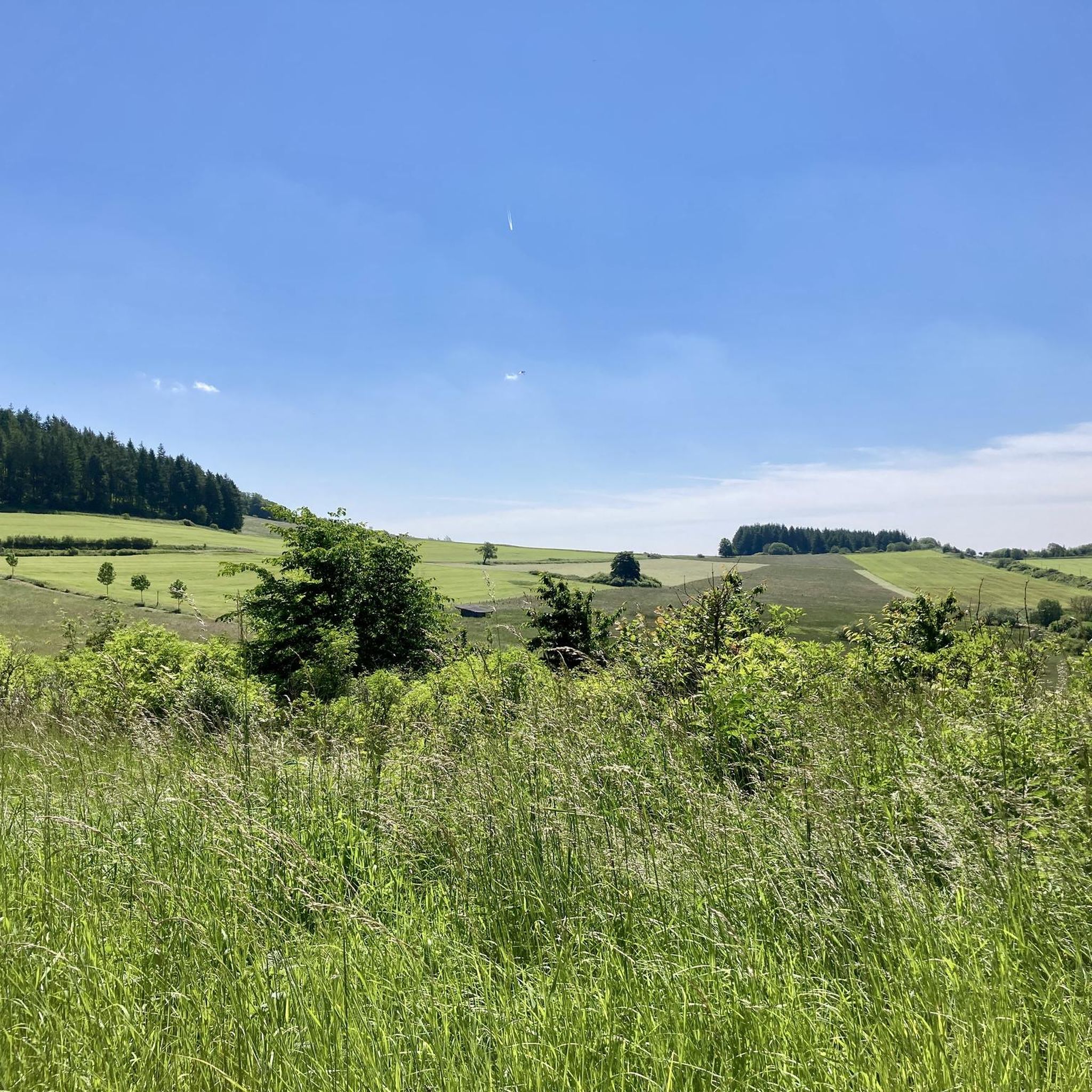
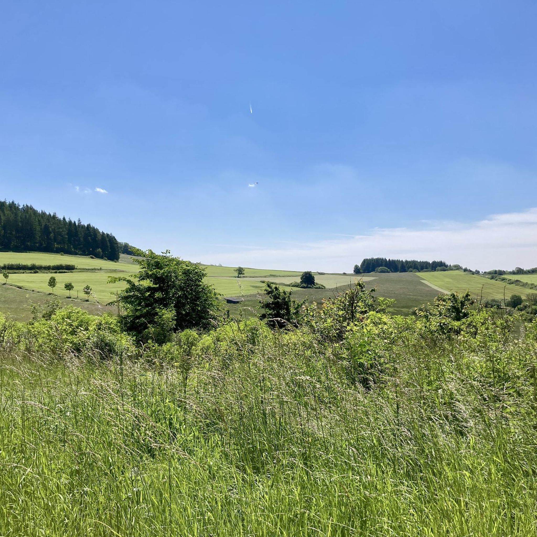
When the weather is good, you have a fantastic view over the hills of the Volcanic Eifel from here.
3
0
From here you have a wonderful view over the heights of the Volcanic Eifel.
2
0

a really beautiful view 😊
0
0
Frequently Asked Questions
How many hiking trails are available around Kirchweiler?
There are over 15 hiking routes around Kirchweiler, offering diverse experiences through the Volcanic Eifel region. These trails range from easy strolls to more challenging mountain routes, catering to various fitness levels.
What kind of terrain can I expect on hikes in Kirchweiler?
Hikes in Kirchweiler feature a unique volcanic landscape. You'll encounter distinctive maars (volcanic lakes), extensive forests, stream valleys, and various rock formations. The terrain can vary from gentle paths around the maars to more rugged ascents on volcanic peaks.
Are there any easy hiking options suitable for beginners in Kirchweiler?
Yes, Kirchweiler offers several easy hiking options. For example, the Dauner Heck Forest Trail – Ernstberg loop from Landkreis Vulkaneifel is an easy 4-mile (6.4 km) route that takes about 2 hours to complete, perfect for a relaxed walk through the forest.
What natural landmarks or viewpoints can I discover on hikes near Kirchweiler?
The region is rich in natural landmarks. You can visit the Dronke Tower on the Mäuseberg for panoramic views over the maars, or explore the picturesque Schalkenmehrener Maar and Gemündener Maar. The Millstone Cave at Nerother Kopf also offers an interesting natural feature.
Can I see any volcanic features while hiking in Kirchweiler?
Absolutely. Kirchweiler is situated in the Volcanic Eifel, so volcanic features are central to the landscape. You'll hike past maars, which are volcanic lakes, and explore areas like the Kirchweiler-Hinterweiler Lava Quarry, which is part of the Volcano Peak Trail and offers insights into the region's volcanic past.
Are there any historical sites or ruins to explore on the trails?
Yes, you can incorporate historical sites into your hikes. The Freudenkoppe Castle Ruins are a notable historical landmark in the area. The Freudenkoppe Castle Ruins – Ernstberg loop from Landkreis Vulkaneifel is a moderate route that includes these ruins.
Are there any circular hiking routes in Kirchweiler?
Many of the trails around Kirchweiler are designed as circular routes, allowing you to start and end at the same point. An example is the Befreiungsbuche at Alten Voß – Berlinger Bach loop from Landkreis Vulkaneifel, a moderate 5.1-mile (8.3 km) trail through forests and along streams.
What do other hikers enjoy the most about hiking in Kirchweiler?
The komoot community highly rates hiking in Kirchweiler, with an average score of 4.6 stars from over 3,200 reviews. Hikers often praise the diverse volcanic landscapes, the beauty of the maars, and the well-maintained trails that offer a variety of experiences for all skill levels.
Are there family-friendly hiking trails in Kirchweiler?
Yes, there are several trails suitable for families. The easier routes, often through forests or around the maars, provide gentle terrain and scenic views without being too strenuous. Look for trails marked as 'easy' in the komoot app for suitable options.
What is the best time of year to go hiking in Kirchweiler?
The spring, summer, and autumn months generally offer the best conditions for hiking in Kirchweiler. Spring brings blooming nature, summer provides warmer weather for exploring the maars, and autumn showcases vibrant foliage. While winter hikes are possible, some trails might be challenging due to snow or ice.
Are dogs allowed on the hiking trails in Kirchweiler?
Generally, dogs are welcome on hiking trails in the Volcanic Eifel region, including around Kirchweiler. However, it's always recommended to keep them on a leash, especially in nature reserves, near livestock, or in areas with wildlife, and to clean up after them.
Most popular routes around Kirchweiler
Most popular attractions around Kirchweiler

Get inspired with the komoot mobile app


Explore more
Browse the best Hikes in other regions.
