The best walks and hikes in the Verwaltungsregion Oberland
4.6
(27722)
202,152
hikers
3,996
hikes
Hiking in the Verwaltungsregion Oberland offers diverse terrain within the Swiss Alps, characterized by towering peaks and deep valleys. The region features iconic mountains like the Eiger, Mönch, and Jungfrau, alongside numerous lakes such as Lake Thun and Lake Brienz. Dramatic valleys, including Lauterbrunnen with its many waterfalls, contribute to the varied landscape. This area provides a range of natural features for outdoor exploration.
Best hiking trails in the Verwaltungsregion Oberland
- The most popular hiking route is From the First…
Last updated: August 18, 2026
4.8
(275)
3,038
hikers
5.98km
01:54
190m
190m
Moderate hike. Great for any fitness level. Mostly accessible paths. Sure-footedness required.
4.8
(343)
1,868
hikers
5.63km
02:02
150m
150m
Hike the moderate 3.5-mile (5.6 km) Schynige Platte Panorama Trail for stunning views of the Eiger, Mönch, and Jungfrau peaks.

Sign up for free
4.8
(106)
653
hikers
16.1km
06:36
1,050m
1,050m
Hard hike. Very good fitness required. Sure-footedness, sturdy shoes and alpine experience required.
4.5
(53)
443
hikers
6.31km
02:07
510m
0m
Moderate hike. Good fitness required. Easily-accessible paths. Suitable for all skill levels.
4.9
(88)
762
hikers
11.9km
05:32
960m
960m
Hike the difficult 7.4-mile Sigriswil Rothorn Panorama Trail (Route 326) for alpine views and a challenging ascent.
4.6
(92)
578
hikers
6.83km
02:30
20m
1,030m
Hike the moderate 4.2-mile Emme River Path - Stage 1 through the UNESCO Biosphere Entlebuch, enjoying green valleys and farmhouses.
4.8
(69)
479
hikers
7.07km
02:18
230m
230m
Moderate hike. Good fitness required. Mostly accessible paths. Sure-footedness required.
4.3
(85)
550
hikers
2.75km
01:04
120m
120m
Moderate hike. Great for any fitness level. Mostly accessible paths. Sure-footedness required.
4.7
(86)
446
hikers
7.49km
02:15
240m
240m
Moderate hike. Good fitness required. Mostly accessible paths. Sure-footedness required.
4.8
(90)
628
hikers
5.57km
01:56
300m
300m
Easy hike. Great for any fitness level. Easily-accessible paths. Suitable for all skill levels.
Get access to more routes and recommendations from other explorers.
Sign up for free
Already have an account?
Our route recommendations are based on thousands of hikes, rides, and runs completed by other people on komoot.
Start today with a free account
Your next adventure awaits.
Login or Signup
Popular around Verwaltungsregion Oberland
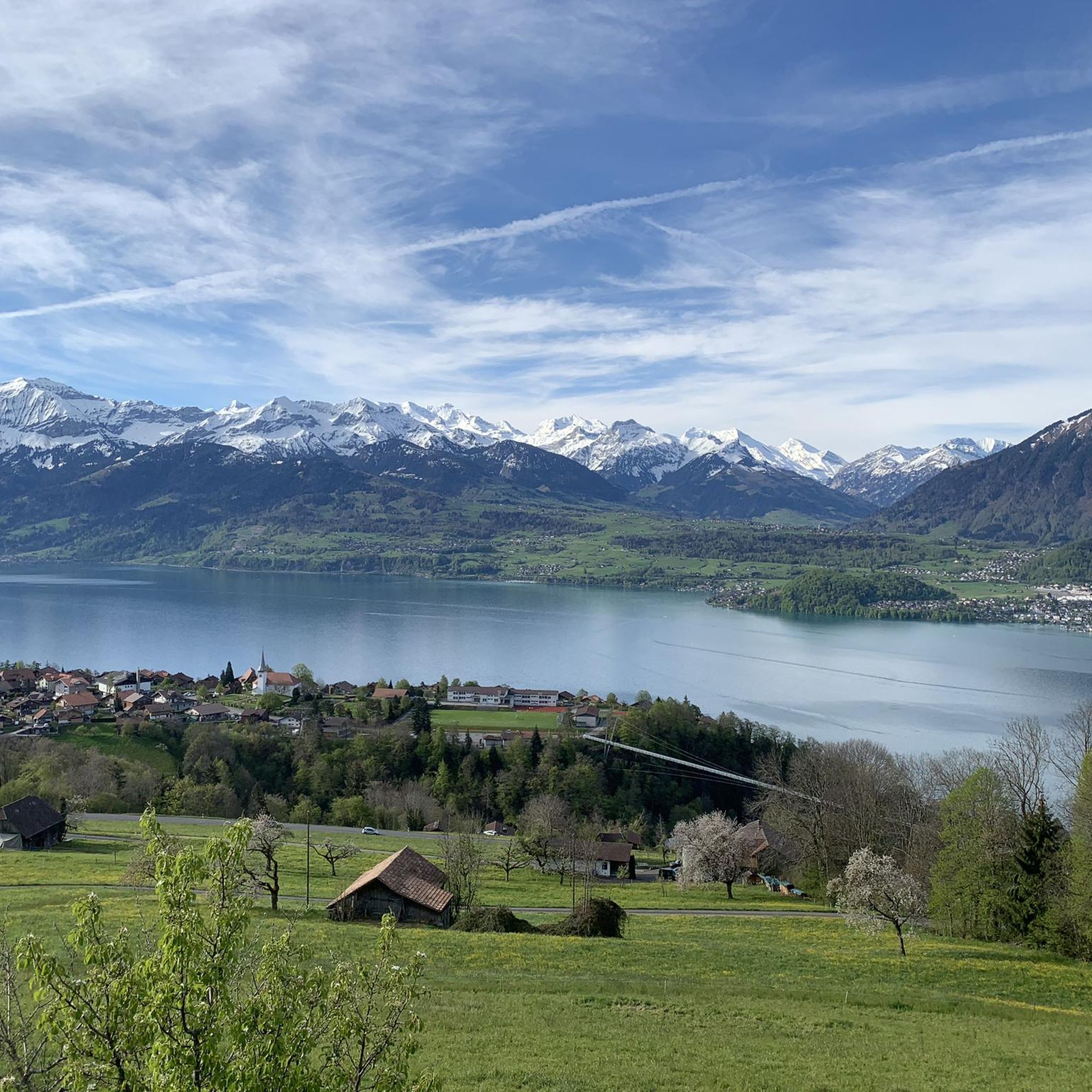
Hiking around Verwaltungskreis Thun
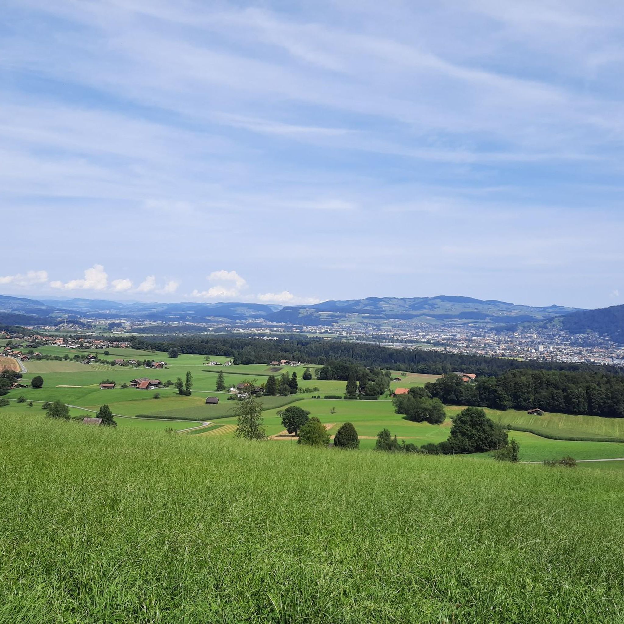
Hiking around Stocken-Höfen
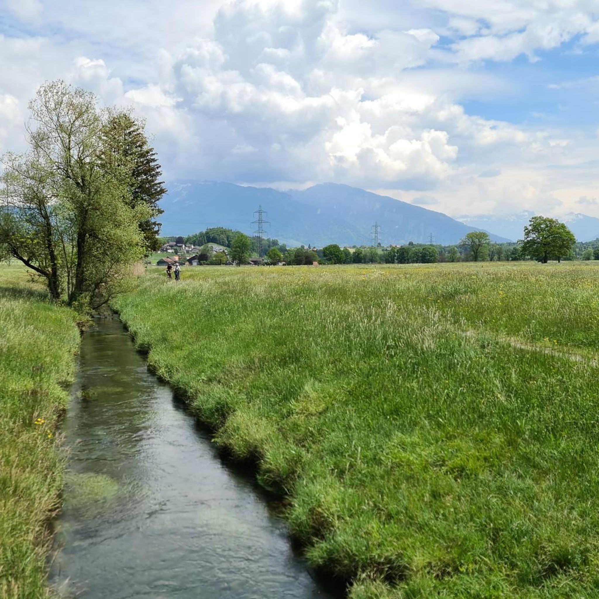
Hiking around Reutigen
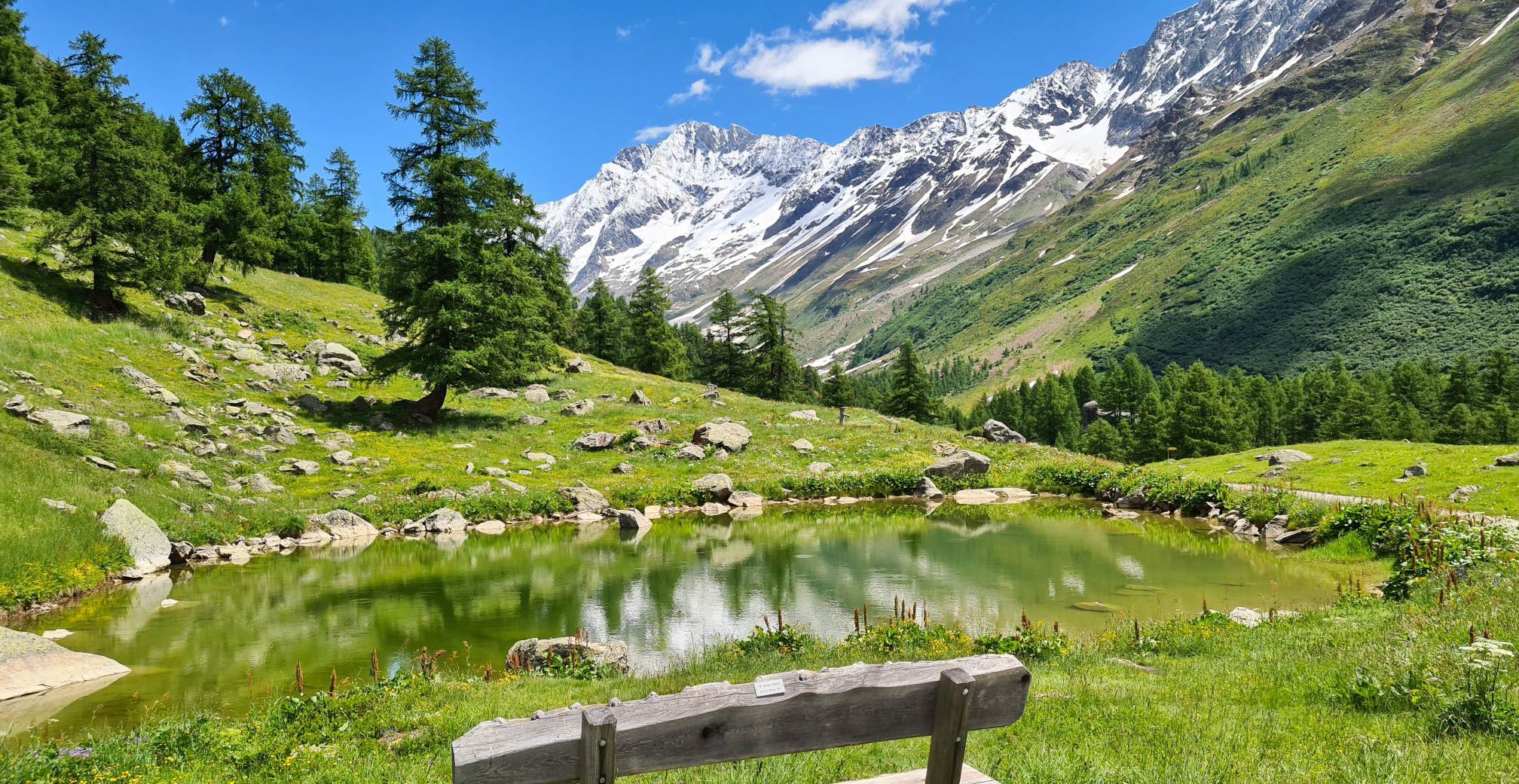
Lötschberg Panorama Trail – 4 days of alpine views in Switzerland
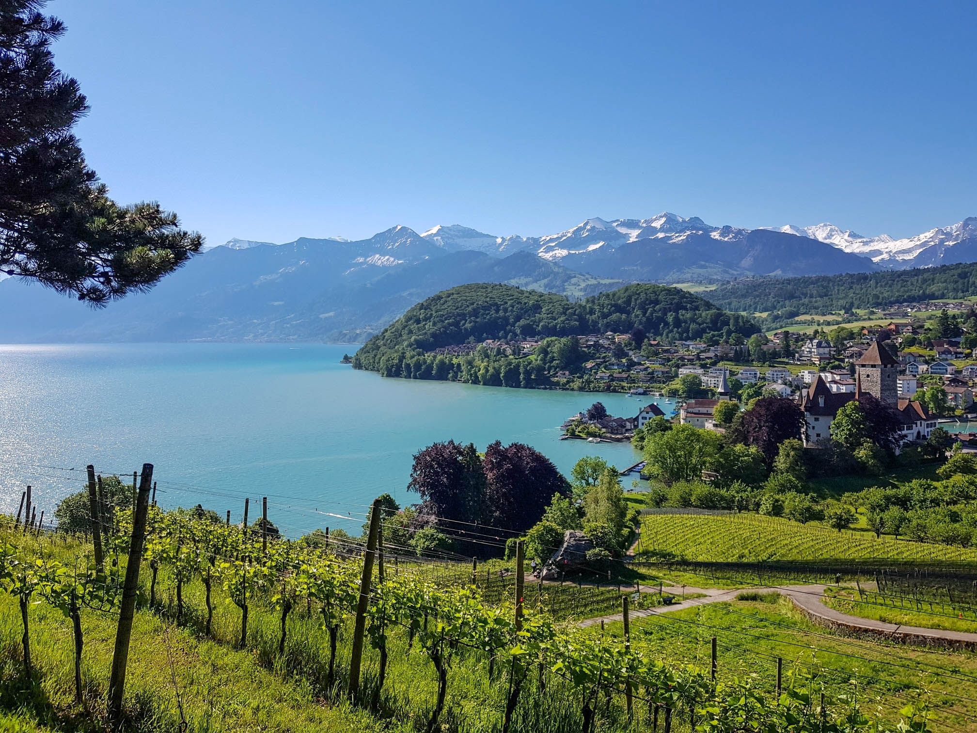
Panoramic circular trail around Switzerland's Lake Thun – Lake views at every turn
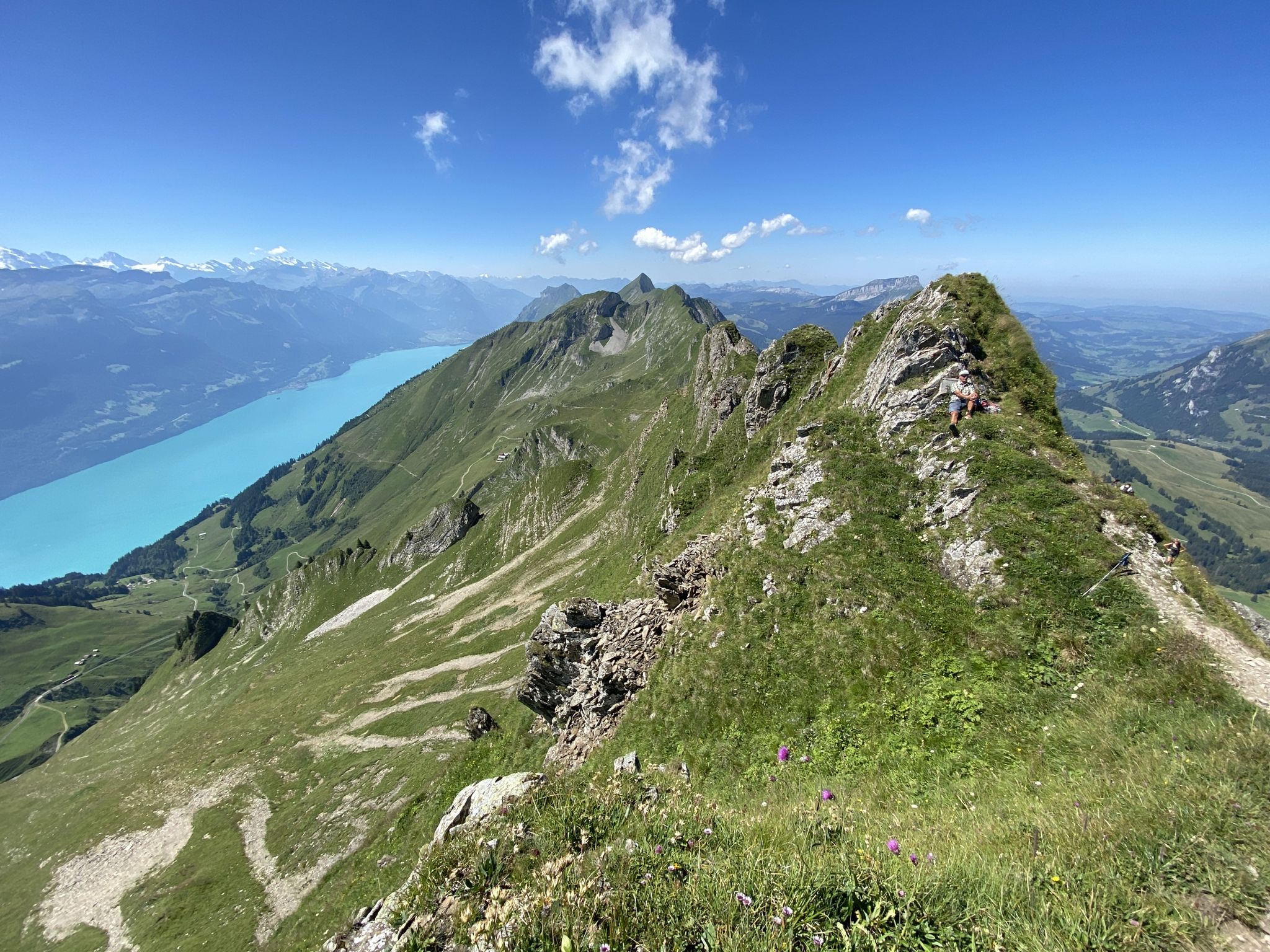
Napfbergland Border Trail – Hike between Bern and Lucerne
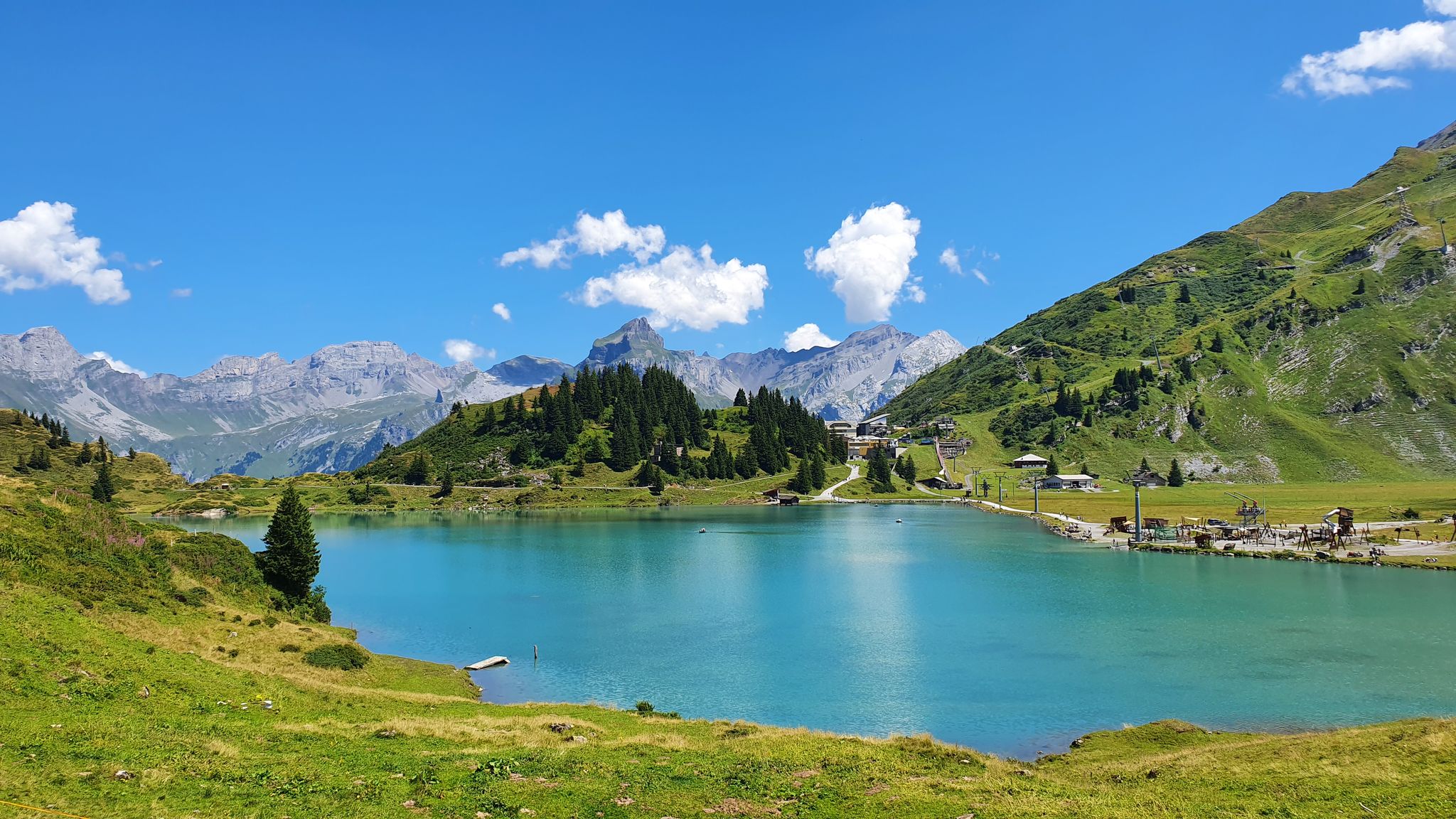
Via Alpina – The 15 stages of the Green Route

Via Jacobi – Following the Way of St James across Switzerland

Discover Grindelwald with the Victorinox Huntsman
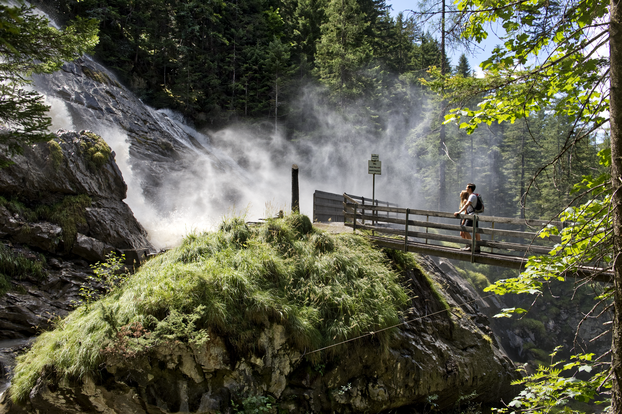
Coolcation instead of the heat in Lenk-Simmental
Other adventures in the Verwaltungsregion Oberland


Tips from the Community

For those who do not want or cannot walk up here, the train ticket costs 44 CHF per person for a round trip. But it is worth it. In good weather, the view is simply phenomenal. The restaurant has a wide and tasty offer and provides very good service. The viewing platform rounds off the whole experience. The trip and the stay will definitely remain an unforgettable experience.
1
0

Wonderfully beautiful mountain lake (place of power) for relaxation.
0
0


Impressive place that demonstrates the dynamics of water energy in its natural state: the source of the Simme.
0
0


pretty view. Many tourists. On the Brienzergrat there are fewer
0
0
Frequently Asked Questions
How many hiking trails are available in the Verwaltungsregion Oberland?
The Verwaltungsregion Oberland offers an extensive network of over 4,000 hiking trails. These range from easy strolls through valleys to challenging alpine treks, catering to all levels of experience.
What do other hikers enjoy the most about hiking in the Verwaltungsregion Oberland?
The komoot community rates the hiking experience in the Verwaltungsregion Oberland highly, with an average of 4.7 stars from over 23,000 reviews. Hikers frequently praise the majestic mountains, crystal-clear lakes, and dramatic valleys with waterfalls that define the region's diverse landscape.
Are there easy hiking trails suitable for beginners or families in the Verwaltungsregion Oberland?
Yes, the region offers many easy trails. For example, the To the Sibe Brünne route is an easy option. The Mürren Panorama Trail, mentioned in regional research, is also an easy hike through woodlands and alpine pastures with incredible mountain views, perfect for a relaxed outing.
Where can I find challenging hikes in the Verwaltungsregion Oberland?
For those seeking a challenge, the Verwaltungsregion Oberland has nearly 800 difficult routes. The To the ibexes on the Augstmatthorn - hiking around Interlaken trail is a demanding 16.1 km route through alpine terrain. Another challenging option is the Sigriswiler Rothorn Panorama Trail, which features a significant ascent with alpine views.
Are there any circular hiking routes in the Verwaltungsregion Oberland?
Yes, there are several circular routes available. A notable option is the W1 Meienberg - circular hike Seebergsee - Meienberg, which offers a moderate loop. The Harder Kulm Circular Trail – Interlaken is another moderate loop leading to a viewpoint with spectacular panoramic views.
What kind of natural attractions can I see along the hiking trails?
The region is rich in natural wonders. You can explore dramatic valleys like Lauterbrunnen, famous for its 72 waterfalls, including the impressive Staubbach Falls and Trümmelbach Falls. Many trails also lead to stunning lakes such as Lake Thun, Lake Brienz, and the turquoise Lake Oeschinen. You might also encounter impressive caves like the St. Beatus Caves, often accompanied by waterfalls such as the Waterfall in front of the Beatus Caves.
Are there any specific viewpoints or mountain summits accessible via hiking trails?
Absolutely. The Verwaltungsregion Oberland is known for its panoramic views. The Schynige Platte Panorama Trail offers stunning views of the Eiger, Mönch, and Jungfrau peaks. You can also hike to summits like Niederhorn Summit or Brienzer Rothorn Summit for breathtaking vistas.
Can I find hikes that are accessible by public transport in the Verwaltungsregion Oberland?
Many trails in the Verwaltungsregion Oberland are well-connected by public transport, making it easy to start and end your hikes without a car. Popular starting points like Interlaken, Grindelwald, and Mürren are well-served by trains, buses, and cable cars, providing access to a wide range of routes.
Are there any hikes that feature rivers or gorges?
Yes, the region offers trails along impressive waterways. The Aare Gorge is a notable natural spectacle. You can also explore routes like the Emme River Path - Stage 1, which follows the Emme River, offering a different kind of scenic experience.
Are there any trails that lead to mountain lakes?
The Bernese Oberland is famous for its mountain lakes. A popular route is From the First to Bachalpsee, which leads to the picturesque Bachalpsee with views of surrounding peaks. Another beautiful destination is Lake Oeschinen, accessible via the To Oeschinensee trail, known for its turquoise waters and dramatic mountain backdrop.
What is the best time of year for hiking in the Verwaltungsregion Oberland?
The best time for hiking in the Verwaltungsregion Oberland is generally from late spring to early autumn (May to October), when trails are mostly clear of snow and the weather is pleasant. High alpine routes are best enjoyed in mid-summer. Some lower-altitude trails may be accessible for winter hiking, but conditions can vary greatly, so it's always best to check local forecasts and trail status.
Most popular routes in the Verwaltungsregion Oberland
Most popular attractions in the Verwaltungsregion Oberland

Get inspired with the komoot mobile app


Didn’t find what you were looking for?
Check out more Hikes throughout Verwaltungsregion Oberland below and find the perfect route in your destination.
Explore more
Browse the best Hikes in other regions.
