The best walks and hikes around Kisselbach
4.6
(1305)
4,751
hikers
30
hikes
Hiking around Kisselbach offers access to the scenic Rhine-Hunsrück district of Germany, situated between the Moselle and Rhine rivers at the foot of the Hunsrück Mountains. The region features green forests, rolling hills, and idyllic valleys, with the Simmerbach river traversing the landscape. Hikers can explore diverse biotopes such as the Ölmühle Kisselbach Biotope and the Dombachaue Grazing Project. This area provides varied terrain suitable for outdoor exploration.
Best hiking trails around Kisselbach
- The most popular hiking route is Ölmühle…
Last updated: July 1, 2026
4.5
(4)
19
hikers
Easy hike. Great for any fitness level. Easily-accessible paths. Suitable for all skill levels.
4.2
(6)
15
hikers
Easy hike. Great for any fitness level. Easily-accessible paths. Suitable for all skill levels.

Sign up for free
5.0
(1)
8
hikers
Easy hike. Great for any fitness level. Easily-accessible paths. Suitable for all skill levels.
5.0
(2)
8
hikers
15.2km
04:11
260m
260m
Moderate hike. Good fitness required. Easily-accessible paths. Suitable for all skill levels.
5.0
(1)
7
hikers
Moderate hike. Good fitness required. Easily-accessible paths. Suitable for all skill levels.
Get access to more routes and recommendations from other explorers.
Sign up for free
Already have an account?
Our route recommendations are based on thousands of hikes, rides, and runs completed by other people on komoot.
Start today with a free account
Your next adventure awaits.
Login or Signup
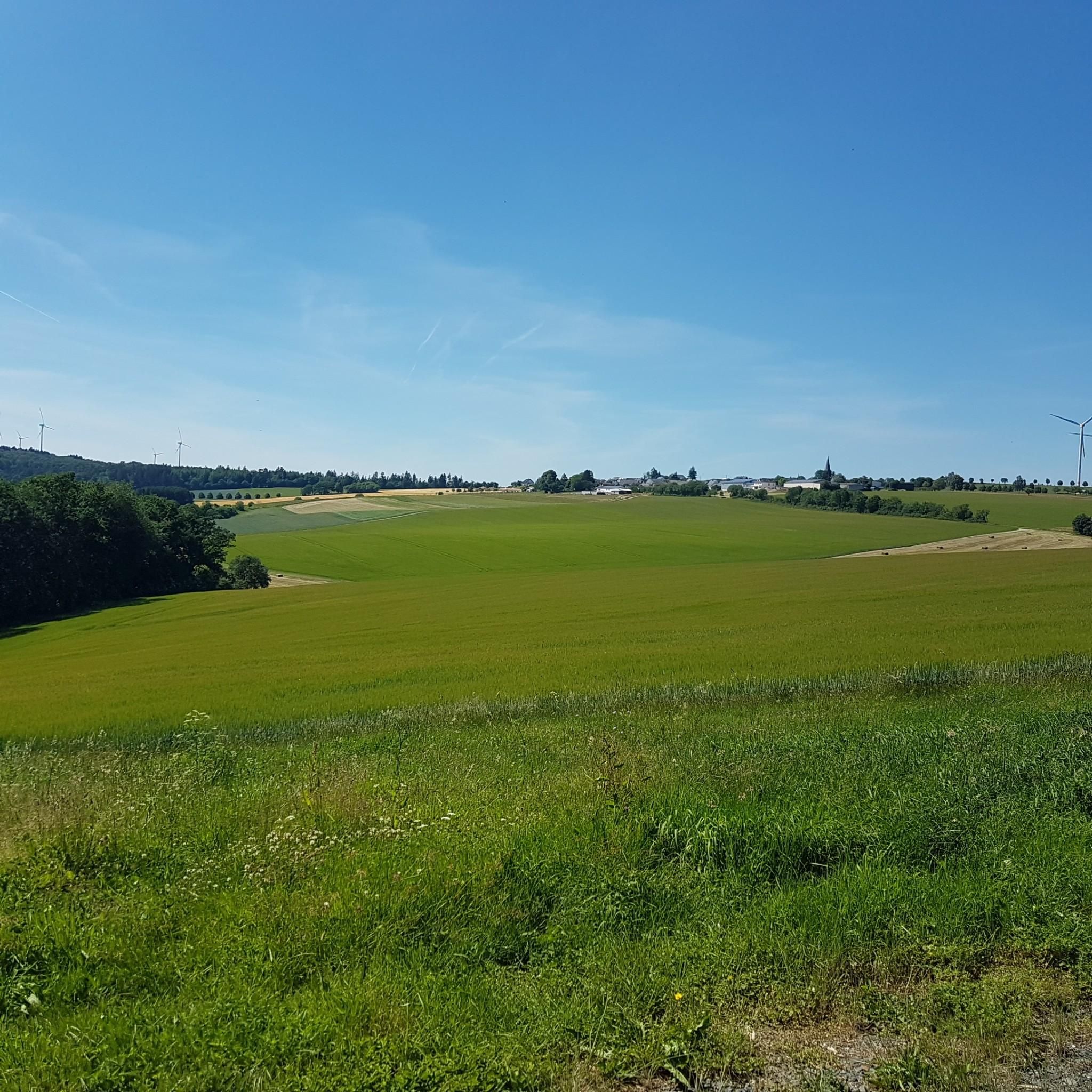
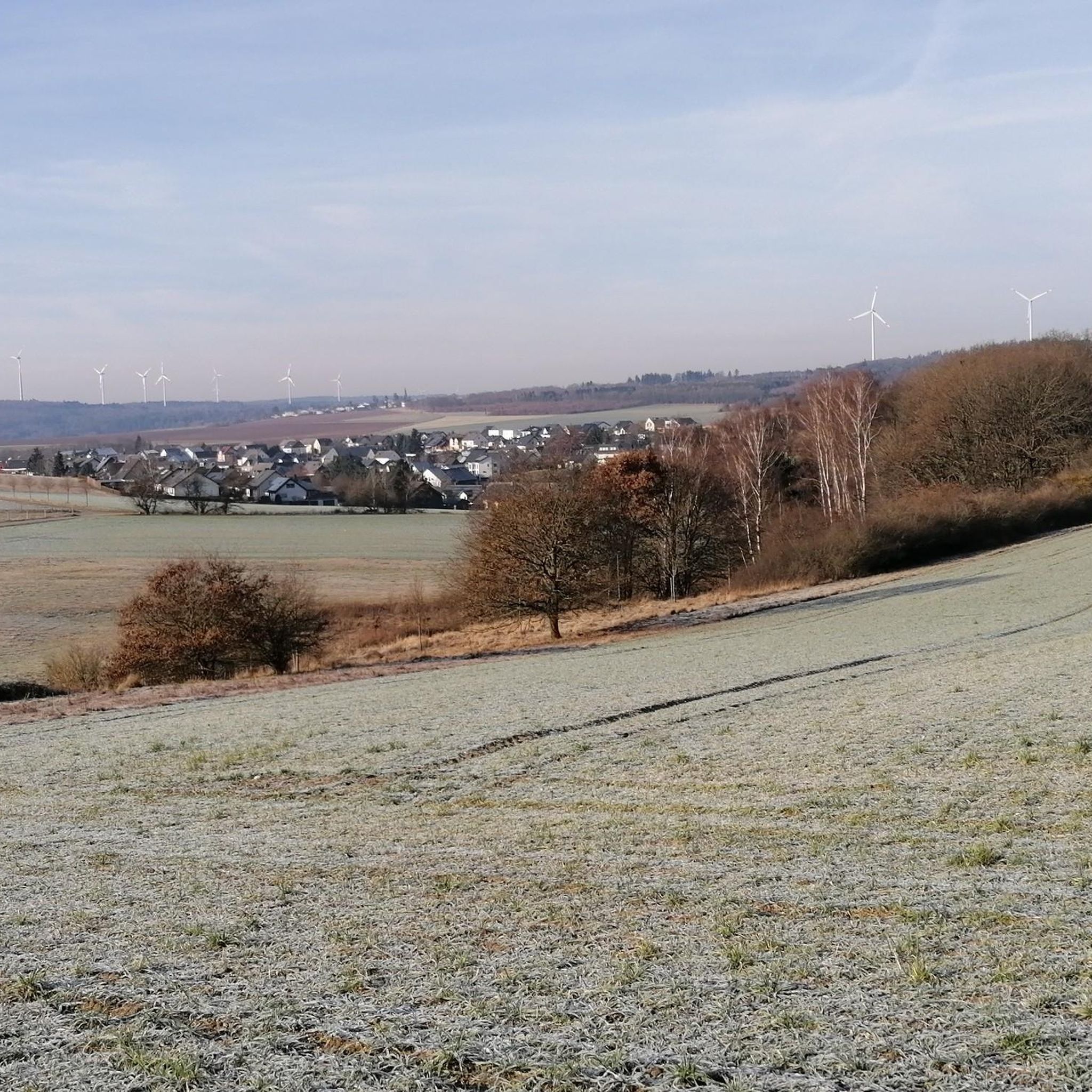
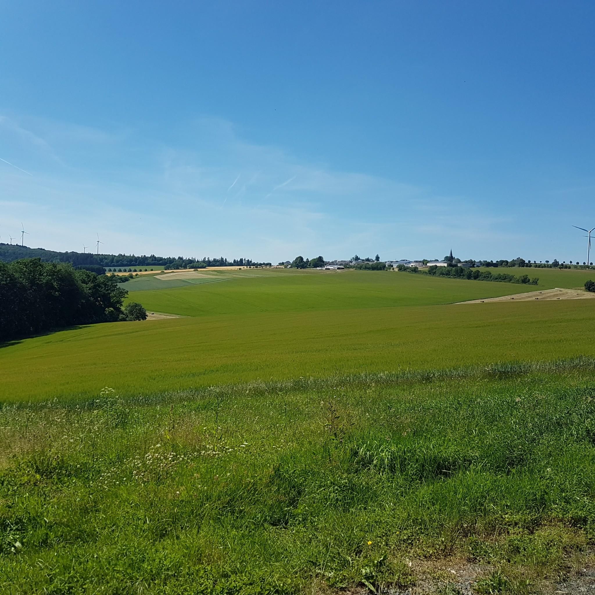
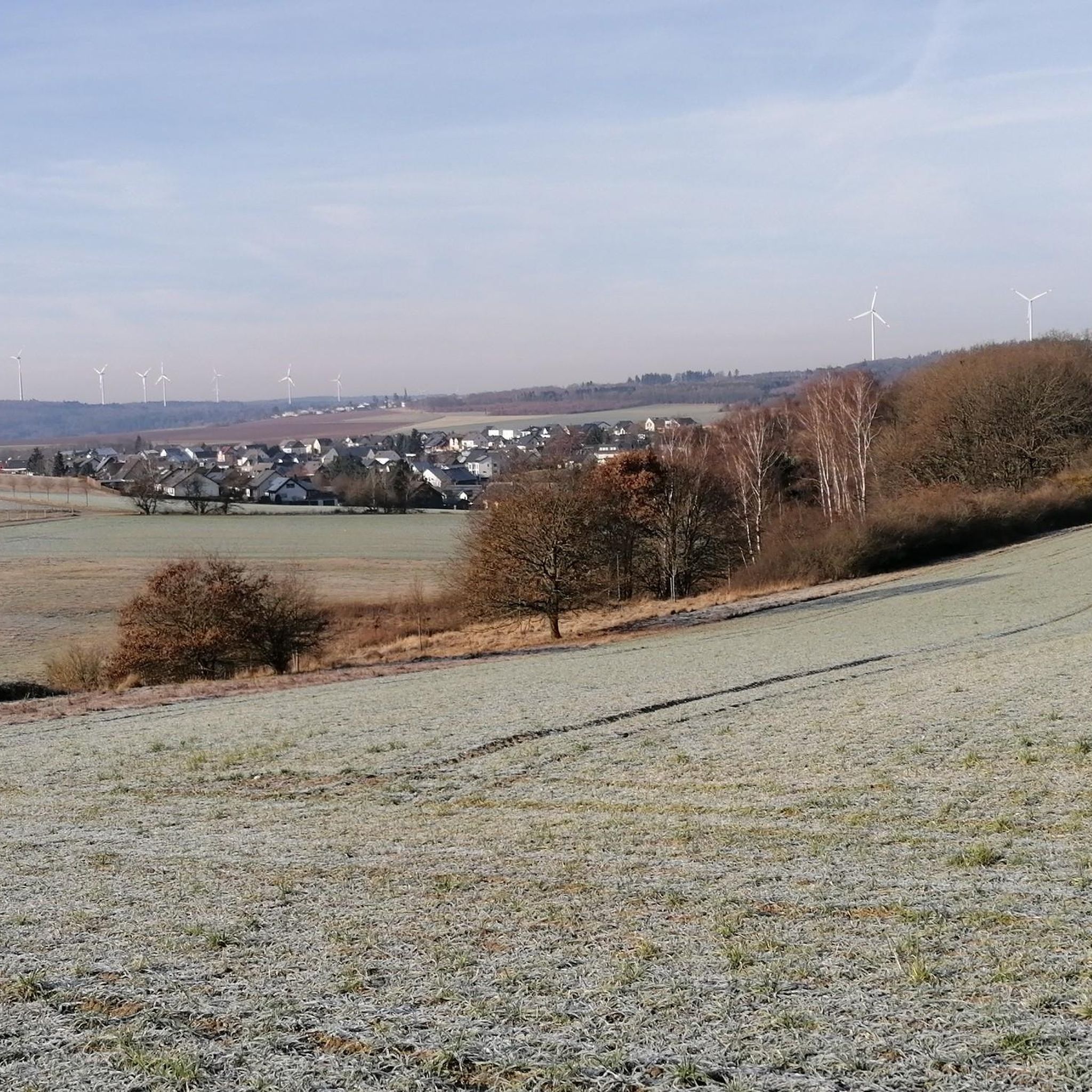
Tips from the Community

A beautiful new bench (approx. spring 2026) at the triangular intersection, among other places, on the path from the Struth hiking car park towards the motorway crossing over the A61.
0
0

Beautifully situated on the edge of the forest, it invites you to pause
0
0

One of several crossroads on the natural loop
0
0

The pond, beautifully situated in a wooded area, invites you to linger with a picnic bench and a rest bench. Incubators with names and an insect hotel are distributed around the pond.
0
0

In the 19th century, the Korbsmühle was already in the Palatinate district of Kisselbach and is therefore not listed separately as a residential area in the relevant books. The field designation "An der Ölmühle" and the mention of an Ohligschläger Stephan Weber around 1683 indicate that there used to be another dwelling below the Schönenberg in Palatinate Kisselbach. Source: https://wiki.genealogy.net/Kisselbach
2
0
The better starting point for the Oberes Simmerbachtal natural loop, as the car park is right next to the route. In contrast to the official starting point at the Laudert sports field.
1
0
Beautiful, elevated vineyard, aka panorama, aka relaxation lounger with a beautiful view
1
0
At the edge of the forest in front of the path to the Fatima forest chapel stands this beautiful large crucifix with the crucified Christ in radiant gold. ATTENTION: Deviate briefly from the signposted natural loop here, 100 meters into the forest and visit the beautiful forest chapel and pause there!
3
0
Frequently Asked Questions
How many hiking trails are available around Kisselbach?
There are over 30 hiking trails around Kisselbach, offering a variety of options for different skill levels. The komoot community has explored more than 30 routes in the area.
What types of terrain can I expect on the hiking trails in Kisselbach?
The trails around Kisselbach feature a mix of green forests, rolling hills, and idyllic valleys. You'll encounter diverse terrain including asphalt, meadows, forest paths, and field paths, often with regular ascents and descents.
Are there any easy hiking routes suitable for beginners or families in Kisselbach?
Yes, Kisselbach offers many easy routes perfect for beginners or families. For example, the Ölmühle Kisselbach Biotope – Bench Near Gringsmühle loop from Kisselbach is an easy 4.1-mile (6.6 km) trail that guides hikers through natural areas. Another option is the Wayside Cross Kisselbach – Dombachaue Grazing Project loop from Kisselbach, an easy 3.5-mile (5.7 km) hike.
What historical sites or landmarks can I see while hiking near Kisselbach?
You can explore several historical sites and landmarks. The Burial mounds in the Struth Forest – View of Liebshausen loop from Kisselbach takes you to ancient burial mounds. Additionally, the region is home to the parish church of St. John the Baptist and the historic half-timbered house 'Alte Schule' within Kisselbach itself. The Baldenau castle ruins are also a recommended historical destination.
Are there any viewpoints with panoramic views along the trails?
While not directly in Kisselbach, the surrounding Hunsrück area offers viewpoints such as "Höllenkopf" and "Mittelrheinblick" which provide breathtaking panoramic views over the landscape, rewarding hikers with stunning vistas.
Are the hiking trails in Kisselbach dog-friendly?
Yes, the Kisselbach region offers dog-friendly hiking options, making it a great destination for outdoor enthusiasts who want to bring their canine companions along.
What natural features can I discover on a hike in Kisselbach?
Kisselbach's landscape is rich in natural features. You can explore diverse biotopes like the Ölmühle Kisselbach Biotope and the Dombachaue Grazing Project. The Simmerbach river also traverses the region, with its source being a point of interest on some routes, such as the Naturschleife Oberes Simmerbachtal.
Are there many circular hiking routes available in Kisselbach?
Yes, many of the popular hiking routes in Kisselbach are circular, allowing you to start and end your hike in the same location. Examples include the Ölmühle Kisselbach Biotope – Bench Near Gringsmühle loop from Kisselbach and the Burial mounds in the Struth Forest – View of Liebshausen loop from Kisselbach.
What do other hikers enjoy most about hiking in Kisselbach?
The area is highly rated by the komoot community, with an average score of 4.6 stars from over 1100 reviews. Hikers often praise the scenic green forests, rolling hills, and idyllic valleys, as well as the diverse terrain that caters to various ability levels.
How long do hikes in Kisselbach typically take?
Hikes in Kisselbach vary in duration. Easy walks can take up to two hours, while more challenging routes may require good fitness and offer up to five hours of trekking. For instance, the Ölmühle Kisselbach Biotope – Bench Near Gringsmühle loop typically takes about 1 hour 46 minutes.
Is there public transport available to Kisselbach for hikers?
Kisselbach is located in the Rhine-Hunsrück district. While specific public transport details for hikers to trailheads are best checked locally, the village is generally accessible, and planning your journey in advance is recommended.
What is the best time of year to go hiking in Kisselbach?
The Hunsrück region, including Kisselbach, offers beautiful hiking experiences throughout the year. Spring brings blooming nature, summer provides lush green landscapes, and autumn showcases vibrant fall colors. Winter hikes are also possible, though conditions may vary.
Most popular routes around Kisselbach
Most popular attractions around Kisselbach

Get inspired with the komoot mobile app


Explore more
Browse the best Hikes in other regions.
