
The best running trails around Happstafjärden
2.0
(1)
15
runners
4
runs
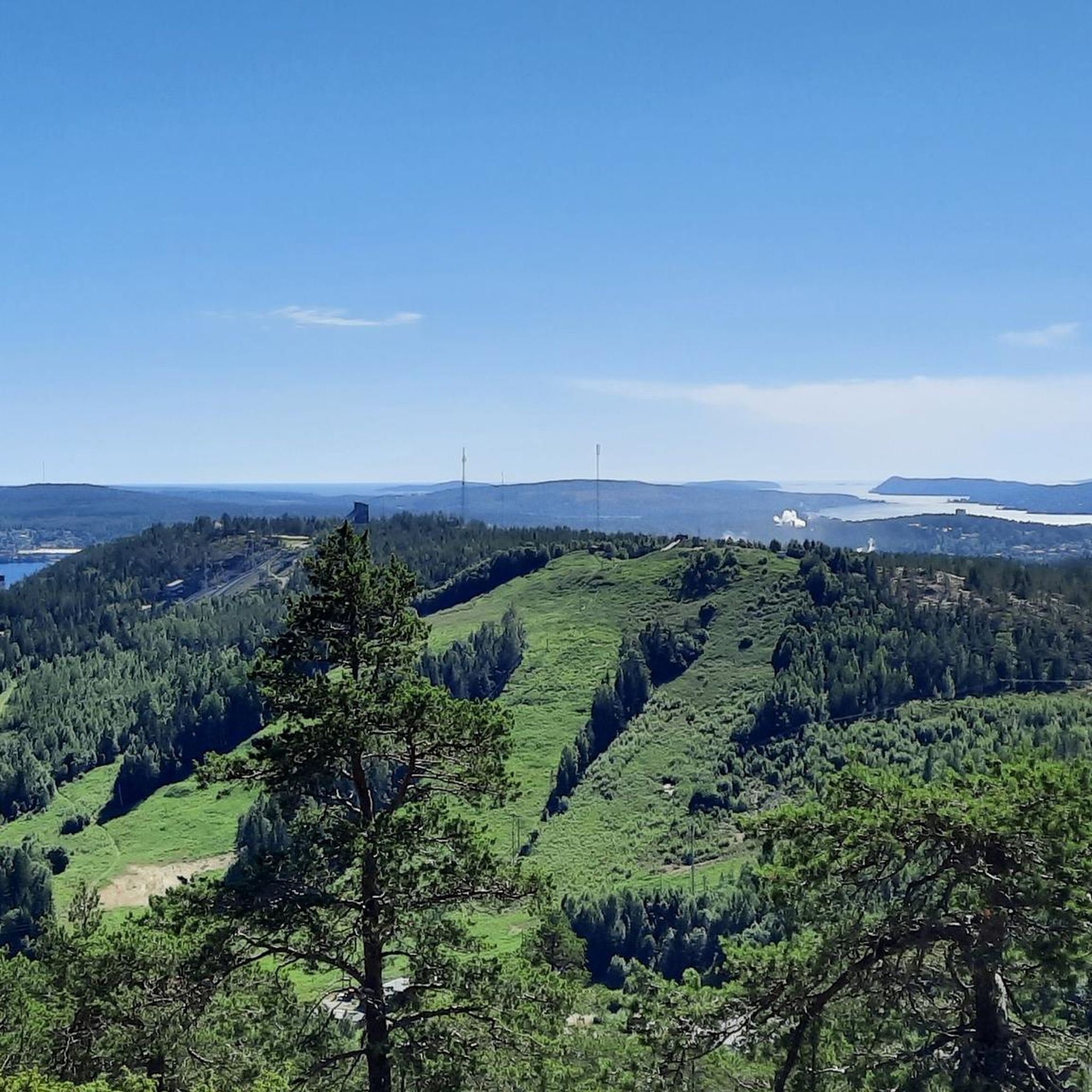
Jogging around Happstafjärden offers a diverse natural environment within Sweden's Västernorrland County. The region is characterized by expansive forests, covering a significant portion of the surrounding catchment area, providing a natural backdrop for running. As a lake, Happstafjärden features picturesque lakeside routes, allowing joggers to experience views across the water. The area provides a network of trails with varying terrain and elevation, suitable for different fitness levels.
Best jogging routes around Happstafjärden
- The most popular jogging route is Mycklingstjärnen loop…
Last updated: July 10, 2026
3
runners
6.32km
00:41
50m
50m
Moderate run. Good fitness required. Mostly paved surfaces. Suitable for all skill levels.
2.0
(1)
5
runners
5.49km
00:34
20m
20m
Moderate run. Good fitness required. Mostly paved surfaces. Suitable for all skill levels.

Sign up for free
5
runners
17.7km
01:57
210m
210m
Hard run. Very good fitness required. Mostly paved surfaces. Suitable for all skill levels.
2
runners
6.21km
00:40
60m
60m
Moderate run. Good fitness required. Mostly paved surfaces. Suitable for all skill levels.
Our route recommendations are based on thousands of hikes, rides, and runs completed by other people on komoot.
Start today with a free account
Your next adventure awaits.
Login or Signup
Popular around Happstafjärden

Frequently Asked Questions
What kind of terrain can I expect on the running trails around Happstafjärden?
The Happstafjärden area offers diverse natural landscapes. You'll primarily find extensive forested paths, providing shade and a refreshing atmosphere. Many routes also feature picturesque lakeside sections, allowing you to enjoy views across the water. The terrain varies from gentle, easily accessible paths to more challenging routes with greater elevation changes.
Are there running routes suitable for beginners or those seeking an easier run?
Yes, Happstafjärden has a network of trails suitable for different fitness levels. While our guide features moderate routes, the region generally offers easily-accessible paths with minimal elevation gain, perfect for casual joggers or those new to trail running. For a moderate option, consider the Käringbadet loop from Överhörnäs, which features gentle terrain along the lakeside.
What is the most challenging running route in the Happstafjärden area?
For runners looking for a more demanding experience, the Mycklingstjärnen – Lilltjärnen loop from Mycklingskolan is classified as a difficult route. It covers a distance of 17.7 km (11 miles) with significant elevation gain, requiring good to very good fitness.
What natural features or sights can I see while running in Happstafjärden?
While running in Happstafjärden, you'll be immersed in beautiful natural surroundings. Expect expansive forests, which cover about 70% of the surrounding area, and scenic views across the lake itself. The region is part of the Moälven Natura 2000 area, highlighting its ecological value. You might also encounter unique natural attractions like the northernmost deciduous forests featuring oaks, beeches, and linden trees, particularly along trails like the Gulaleden.
Is there parking available near the running routes in Happstafjärden?
While specific parking locations for each route aren't detailed in our guide, Happstafjärden is generally accessible by car. Many trailheads in natural areas typically have designated parking spots. We recommend checking local maps or the starting points of individual routes for the most precise parking information.
How can I reach the Happstafjärden running trails by public transport?
Happstafjärden is located in the Örnsköldsvik Municipality. Public transport options, such as local buses, may serve the villages and areas surrounding the lake. For detailed schedules and routes to specific trailheads, it's best to consult the local public transport authority's website for Örnsköldsvik.
When is the best time of year to go running in Happstafjärden?
The diverse natural landscapes of Happstafjärden make it suitable for running across multiple seasons. Spring and autumn offer pleasant temperatures and beautiful foliage. Summer provides long daylight hours and warm weather, ideal for shaded forest paths. Even winter running can be an option, though conditions may require appropriate gear for snow and ice.
Are the running trails around Happstafjärden suitable for dogs?
Many natural trails in Sweden, including those in protected areas like Happstafjärden, are generally dog-friendly. However, it's crucial to keep dogs on a leash, especially within the Moälven Natura 2000 area, to protect wildlife and ensure a pleasant experience for all users. Always check local regulations for any specific restrictions.
Are there any circular running routes available in Happstafjärden?
Yes, many of the running routes in Happstafjärden are designed as loops, offering a convenient way to start and finish at the same point. Examples from our guide include the Mycklingstjärnen loop from Sågudden and the Mycklingstjärnen loop from Veckefjärden, both providing varied scenery.
What do other runners enjoy the most about jogging in Happstafjärden?
The running routes in Happstafjärden are highly rated by the komoot community, with an average score of 2.0 stars from 1 review. Runners often praise the diverse natural environment, which includes expansive forests and picturesque lakeside views, as well as the variety of trails catering to different ability levels.
Are there any less crowded running trails in Happstafjärden?
While some routes, like the popular Mycklingstjärnen loop from Sågudden, might see more foot traffic, the extensive network of trails around Happstafjärden means you can often find quieter paths. Exploring routes slightly off the main popular areas or visiting during off-peak hours can help you find a more serene running experience.
What is the average duration for a running trail in Happstafjärden?
The duration of running trails in Happstafjärden varies significantly based on distance and difficulty. For instance, moderate routes like the Mycklingstjärnen loop from Sågudden (6.3 km) typically take around 41 minutes, while the more challenging Mycklingstjärnen – Lilltjärnen loop from Mycklingskolan (17.7 km) can take over 1 hour and 50 minutes.
Most popular routes around Happstafjärden

Get inspired with the komoot mobile app


Explore more
Browse the best Running Trails & Routes in other regions.
