The best MTB trails around Selbusjøen
17
riders
5
rides
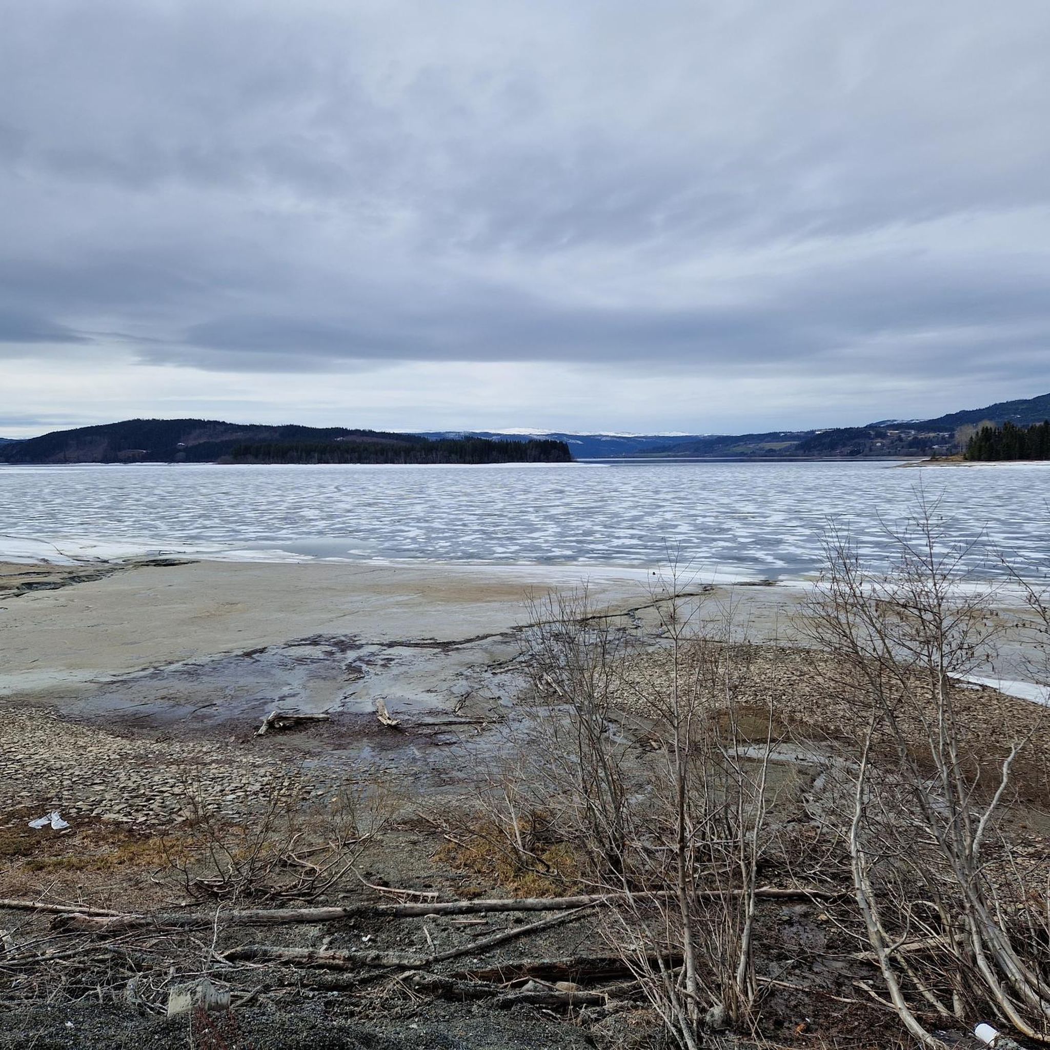
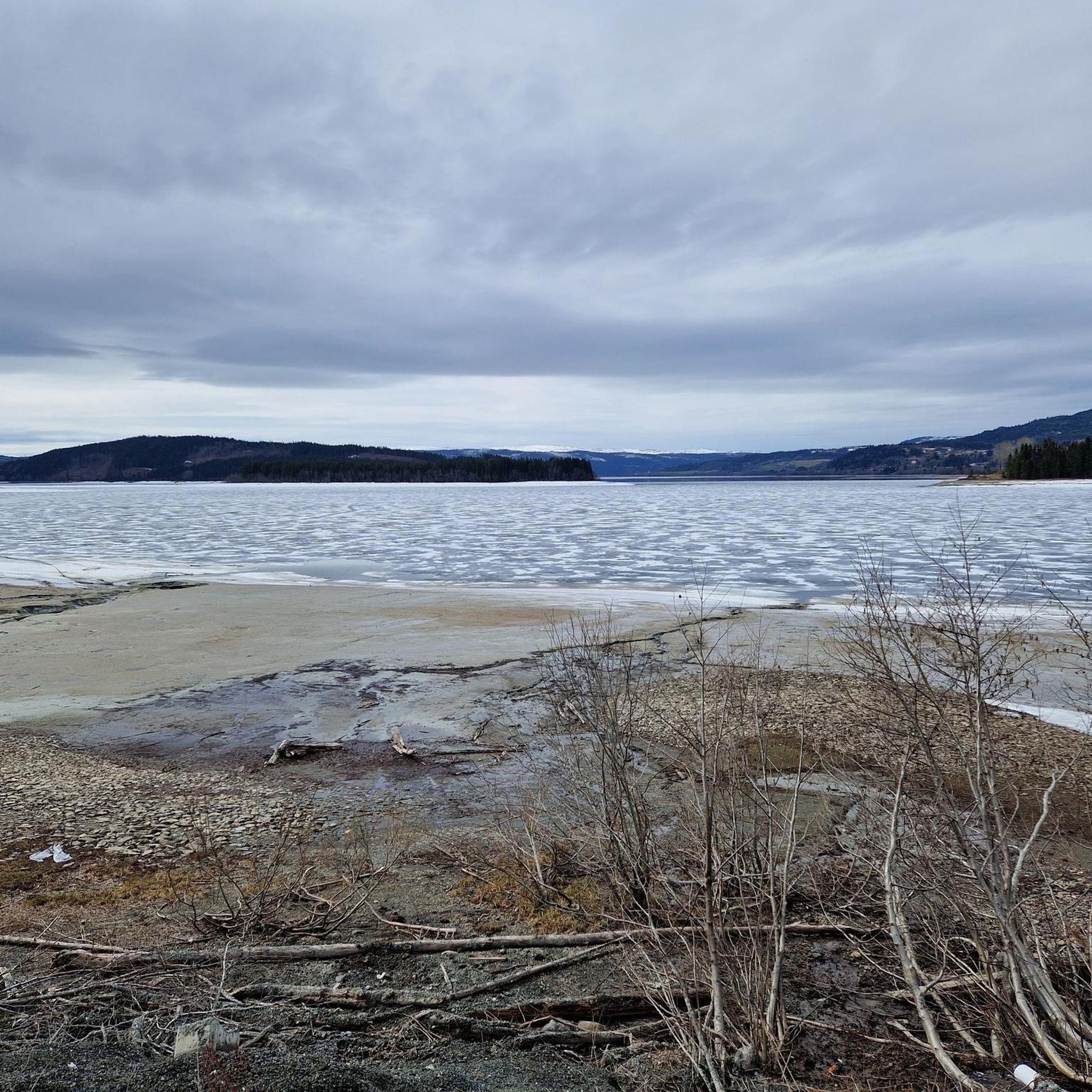
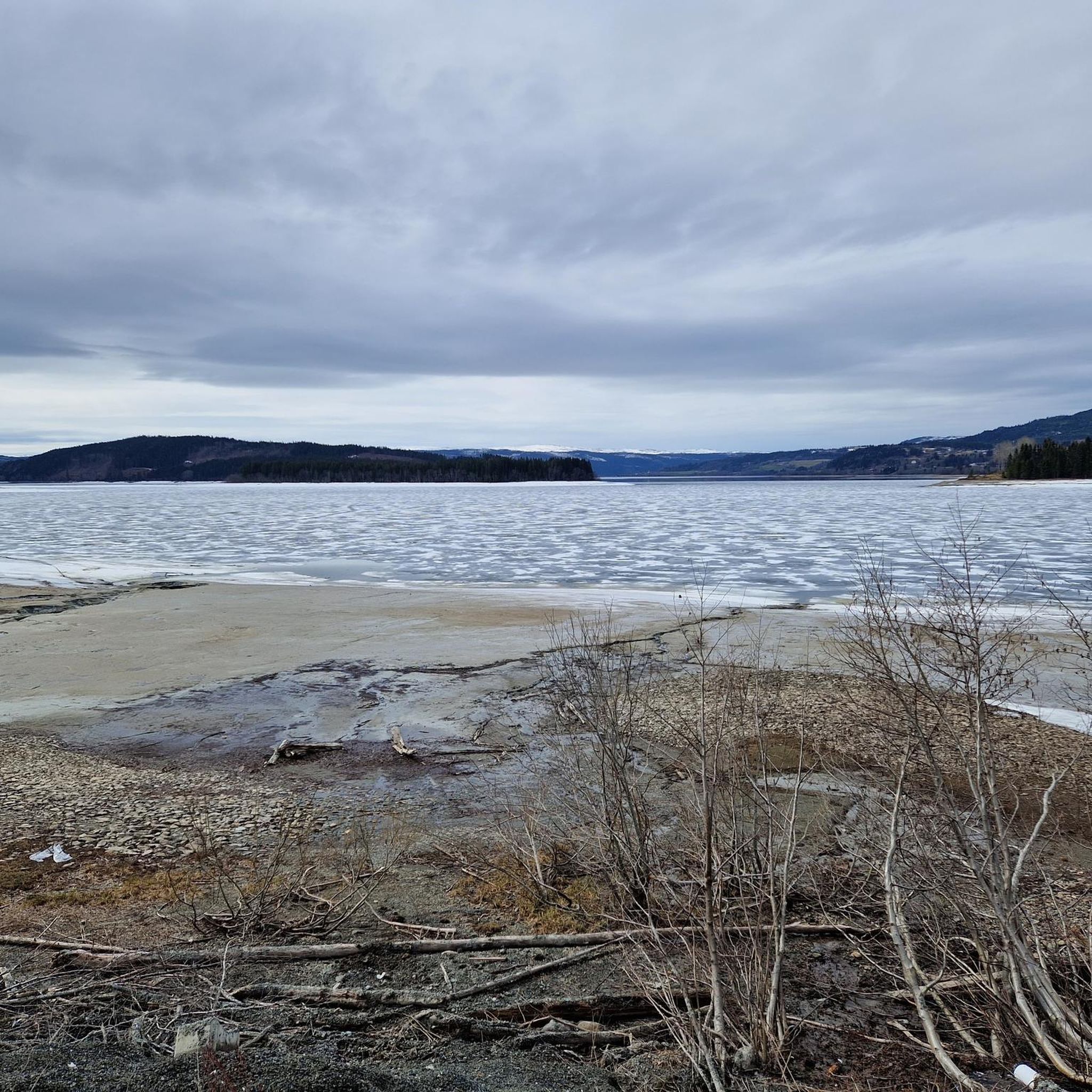
Mountain biking around Selbusjøen offers diverse terrain in the Trøndelag county of Norway. The region is characterized by the expansive Selbusjøen Lake, surrounded by rolling hills and dense woodlands. Nearby, Skarvan and Roltdalen National Park provides a backdrop of high mountains and ancient spruce forests, contributing to varied elevation changes. Cyclists can expect a mix of paved roads, gravel paths, and natural singletrack-like trails.
Best mountain bike trails around Selbusjøen
- The most popular mountain bike trail is Tjuvhamran – Elleftjennåsen…
Last updated: June 27, 2026
2
riders
45.1km
03:09
600m
600m
Moderate mountain bike ride. Good fitness required. Suitable for all skill levels.
1
riders
30.5km
02:01
410m
410m
Moderate mountain bike ride. Good fitness required. Suitable for all skill levels.

Sign up for free
8
riders
57.3km
03:58
840m
840m
Hard mountain bike ride. Good fitness required. Advanced riding skills necessary. Some portions of the route may require you to push your bike.
4
riders
118km
08:27
1,920m
1,920m
Hard mountain bike ride. Very good fitness required. Advanced riding skills necessary.
Our route recommendations are based on thousands of hikes, rides, and runs completed by other people on komoot.
Start today with a free account
Your next adventure awaits.
Login or Signup

Tips from the Community

Meandering its way through Trondheim, the Nidelva River is the focal point of the town. There are some nice running and cycling paths bordering and crossing the Nidelva. There are also five bridges that cross the river, and here is one of them, the Stavne bridge. For cyclists and pedestrians, the bridge is very convenient as a means to connect Byåsen/Stavne to the university area. In addition, the views down over the Nidelva and the charming riverside houses are a delight.
0
0

A highlight of a walk along the Nidelva is accessed these little islands via their bridges. It provides a new perspective of the river and adds excitement to your hike.
0
0

A little water wheel apparatus along the forest path.
0
0
Impressive view of Trondheim – the refuge close by is open in summer.
0
0

Magnificent view over Trondheim. The hiker's hut right next door doesn't open again during the week until the beginning of August.
1
0


The Nidaros Cathedral in Trondheim (old name of the city: Nidaros) is one of the most important churches in Norway, it is considered a national shrine. It was the cathedral of the Norwegian metropolitans since 1152. Because the shrine of Saint Olaf stood behind the high altar, the cathedral was also nicknamed the "Heart of Norway".
10
2
Frequently Asked Questions
How many mountain bike trails are available around Selbusjøen?
There are 5 mountain bike trails available around Selbusjøen in this guide, offering a range of experiences from moderate to difficult.
What kind of terrain can I expect on mountain bike trails around Selbusjøen?
The terrain around Selbusjøen is quite varied, featuring a mix of paved roads, gravel paths, and natural singletrack-like trails. You'll encounter rolling hills, dense woodlands, and some elevation changes, especially closer to the Skarvan mountains.
Are there any challenging mountain bike trails in the Selbusjøen area?
Yes, the Selbusjøen area offers challenging routes for experienced mountain bikers. For instance, the Korfossen – Stampfossen loop from Ranheim is a difficult 60.0 km trail with over 1000 meters of elevation gain, leading through woodlands and past waterfalls. Another difficult option is the Mini water wheel – Difficult Descent loop from Lerkendal, covering 56.4 km with significant elevation.
Can I find mountain bike trails that pass by waterfalls in Selbusjøen?
Yes, the region is home to impressive waterfalls like Storfossen and Mettifossen. The Korfossen – Stampfossen loop from Ranheim is known to lead through woodlands and past waterfalls, offering scenic views during your ride.
Are there any family-friendly mountain bike routes around Selbusjøen?
While this guide features routes primarily of moderate to difficult grades, the broader Selbusjøen area includes diverse landscapes with some easier sections. For family-friendly options, look for routes that stick to the less challenging gravel roads or designated cycling paths, which are often found along the lake's northern side.
What are the best times of year for mountain biking around Selbusjøen?
The best time for mountain biking around Selbusjøen is typically during the warmer months, from late spring to early autumn (May to September). During this period, trails are generally free of snow and ice, and the weather is more favorable for outdoor activities. Summer offers lush scenery and longer daylight hours.
Are there any circular mountain bike routes available?
Yes, many of the routes in this guide are designed as loops. For example, the Tjuvhamran – Elleftjennåsen loop from Årsøya is a 45.1 km circular trail, and the Tjuvhamran – Elleftjennåsen loop from Aunåsvollen is a 30.5 km loop that winds through forests.
What scenic viewpoints or natural features can I expect to see on the trails?
Mountain biking around Selbusjøen offers stunning natural beauty. You can expect magnificent views over the expansive Selbusjøen Lake, especially from elevated sections like the climb to Høgda on the northern side. Trails also traverse dense woodlands, rolling hills, and are in proximity to the dramatic mountainous terrain of Skarvan and Roltdalen National Park.
Is it possible to access the trails using public transport?
Information on specific public transport links directly to trailheads is not detailed in this guide. However, the Selbu municipality has local bus services. It's advisable to check local transport schedules and routes to see if they align with your chosen starting points for mountain biking.
Where can I park my car when mountain biking around Selbusjøen?
Specific parking information for each trailhead is not provided in this guide. However, access points to the national park from Selbu, such as Vekta and Hoemskjølen, often have designated parking areas. For other routes, look for public parking in nearby villages like Selbustrand, Fossan, or Mebonden, or at common starting points for outdoor activities.
Are there any very long mountain bike trails for endurance riders?
Yes, for endurance riders seeking a significant challenge, the View of Trondheim – View of Månen loop from Lerkendal is a difficult route spanning 117.9 km with nearly 2000 meters of elevation gain, typically taking over 8 hours to complete.

Get inspired with the komoot mobile app


Explore more
Browse the best MTB trails in other regions.
