The best running trails around Iso Arajärvi
44
runners
5
runs
Jogging around Iso Arajärvi offers routes through a landscape characterized by hilly forests, deep ravines, and rocky paths, shaped by the last ice age and ancient fault valleys. The region features significant elevation changes, with the highest point, Vahtervuori, rising 219 meters above sea level. Joggers can expect varied terrain including lush streamside areas, rocky pine forests, and small mires. The area's trails are largely demanding due to height differences and rocky paths, providing a physical challenge.
Best jogging routes…
Last updated: July 10, 2026
1
runners
7.04km
00:46
80m
80m
Moderate run. Good fitness required. Mostly paved surfaces. Suitable for all skill levels.
6
runners
16.7km
02:02
130m
130m
Hard run. Very good fitness required. Mostly accessible paths. Some sure footedness required.

Sign up for free
3
runners
11.3km
01:20
30m
30m
Moderate run. Good fitness required. Mostly accessible paths. Some sure footedness required.
13
runners
12.1km
01:16
80m
90m
Moderate run. Good fitness required. Mostly paved surfaces. Suitable for all skill levels.
7
runners
17.2km
02:05
130m
130m
Hard run. Very good fitness required. Mostly accessible paths. Some sure footedness required.
Our route recommendations are based on thousands of hikes, rides, and runs completed by other people on komoot.
Start today with a free account
Your next adventure awaits.
Login or Signup
Popular around Iso Arajärvi
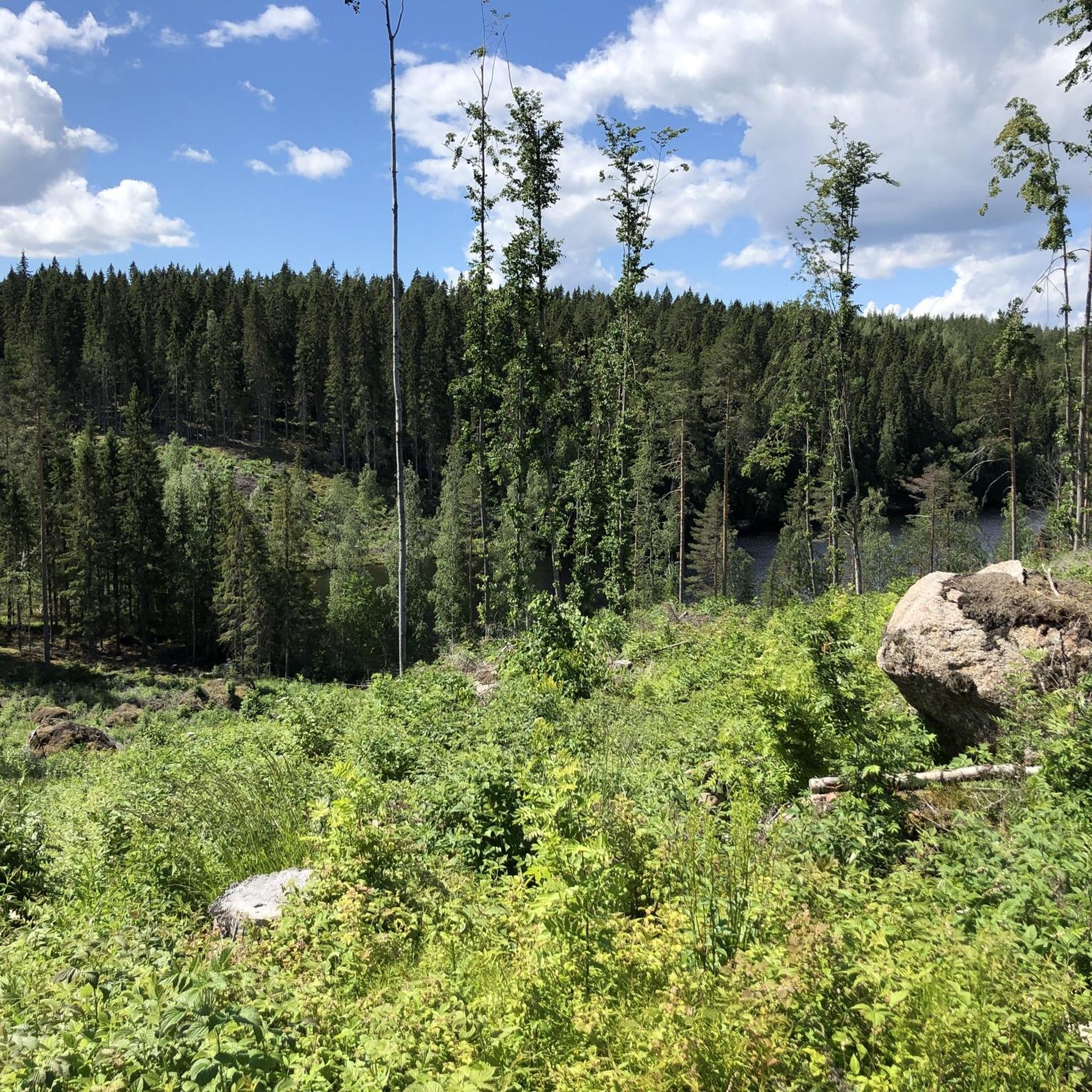
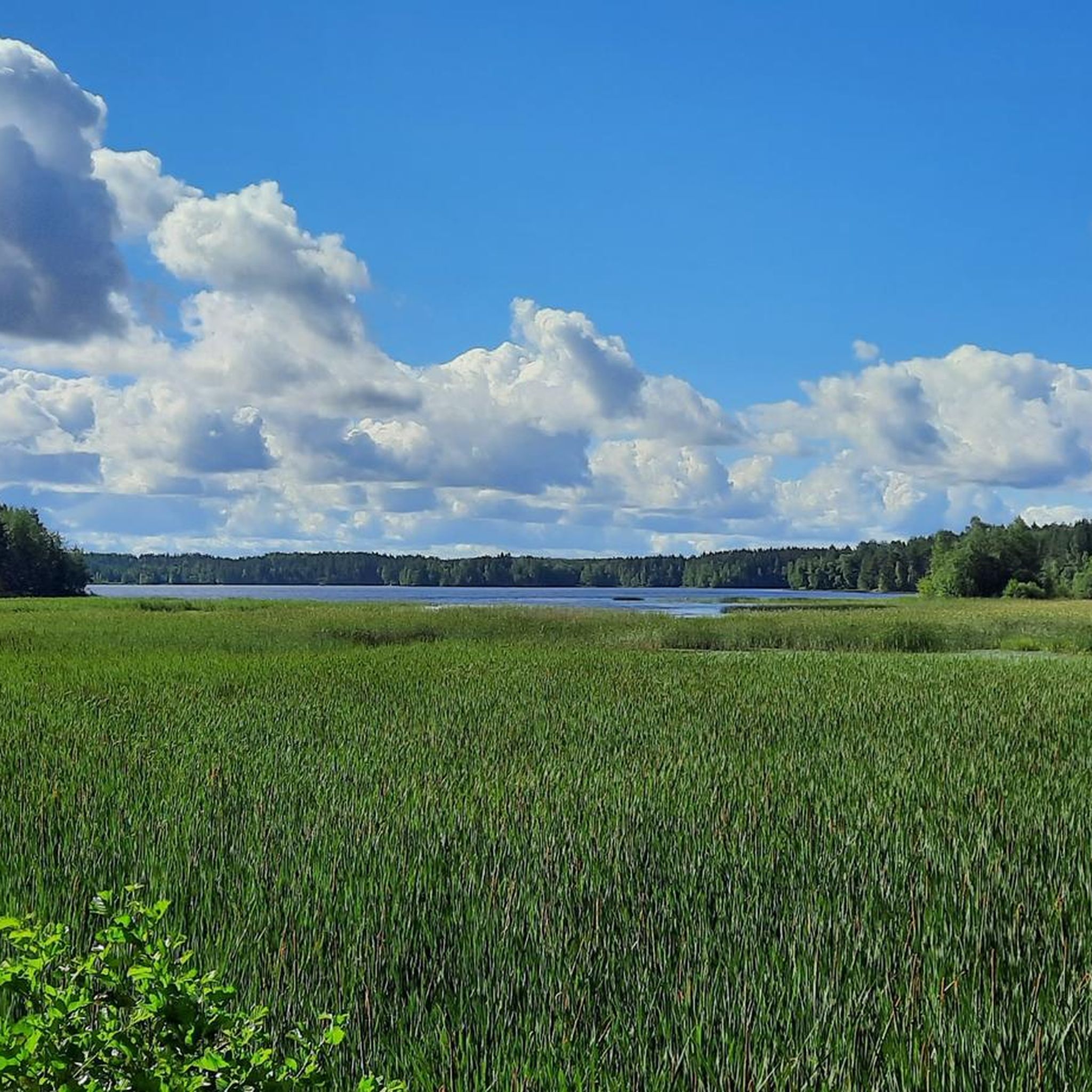
Tips from the Community

Find your peace at this charming pond in Laipanmaa area.
0
0
The Hirvijärvi circular trail leads along the eastern shore of this picturesque lake. At the southern end you will find a lean-on and at the northern end a beautiful little bridge.
0
0
After a short climb you will find yourself standing on this rock on the mountain Korppivuori and have a wonderful view down to Lake Hirvijärvi.
0
0
Frequently Asked Questions
What kind of terrain should I expect on the running trails around Iso Arajärvi?
The running trails in the Iso Arajärvi region are characterized by a varied and often demanding topography. You'll encounter hilly forests, deep ravines, and rugged mountains, with landscapes shaped by the last ice age. Expect significant elevation changes, rocky paths, lush streamside areas, and sun-drenched rocky pine forests. The trails are largely demanding due to these height differences and rocky sections, offering a good physical challenge.
Are there any easy running routes available for beginners or casual joggers?
The running routes around Iso Arajärvi are generally considered moderate to difficult due to significant height differences and rocky paths. According to our guide, there are no easy routes available in this specific selection. However, within the broader Isojärvi National Park area, the Majavapolku trail is noted as being easier to navigate, though it may not be directly covered by the routes in this guide.
What are the typical distances for running routes in the Iso Arajärvi area?
The running routes in this area vary in length, offering options for different preferences. For example, the Running loop from Aitoo is about 7.2 km (4.5 miles). For longer, more challenging runs, you can find routes like the Sadinlampi – Vähä-Hirvijärvi loop from Laipanmaa, which spans approximately 16.7 km (10.4 miles), or the Running loop from Pihtilammen laavu at around 17.2 km (10.7 miles).
Are there any circular running paths around Iso Arajärvi?
Yes, many of the running routes in the Iso Arajärvi area are designed as loops, allowing you to start and finish at the same point. Examples include the popular Running loop from Aitoo, the Sadinlampi – Vähä-Hirvijärvi loop from Laipanmaa, and the Running loop from Holja. These circular paths offer a convenient way to explore the region's diverse landscapes.
What natural features or viewpoints can I expect to see while running in this region?
The Iso Arajärvi region, especially within the broader Isojärvi National Park, offers stunning natural features. You'll encounter landscapes shaped by the last ice age, including deep ravines and rugged mountains. The highest point, Vahtervuori, rises significantly above Lake Isojärvi, potentially offering rewarding views. The area also features lush streamside areas, rocky pine forests, and small mires and bog ponds. Keep an eye out for signs of beavers, as their dams and modified landscapes are a notable natural feature in the national park.
Is the Iso Arajärvi area suitable for family-friendly running or jogging with children?
Given the demanding nature of many trails with significant height differences and rocky paths, most routes in this guide might be challenging for younger children or families seeking very easy, flat runs. While the broader Isojärvi National Park has some easier options like the Majavapolku trail, the featured routes are generally moderate to difficult. Families with older, more experienced children who enjoy a physical challenge might find some routes suitable.
Are dogs allowed on the running trails around Iso Arajärvi?
Generally, dogs are welcome on trails in Finnish national parks and natural areas, but they must be kept on a leash at all times to protect wildlife and ensure the safety of other visitors. It's always a good idea to check specific regulations for the exact trail you plan to run, especially regarding sensitive areas or nesting seasons. The varied terrain means some sections might be challenging for dogs not used to rocky or uneven surfaces.
What is the best time of year to go running around Iso Arajärvi?
The Iso Arajärvi region offers different experiences throughout the year. Spring and autumn provide beautiful scenery with changing foliage and generally cooler temperatures, which can be ideal for running. Summer is also popular, but be prepared for warmer weather and potentially more insects. Winter running is possible, with opportunities for snowshoeing or skiing, but trails might be covered in snow and ice, requiring appropriate gear and caution.
How many running routes are available in the Iso Arajärvi guide?
Our guide features 7 distinct running routes around Iso Arajärvi. These routes offer a range of distances and difficulties, from moderate to difficult, allowing you to choose an adventure that suits your fitness level and preferences.
What do other runners enjoy most about the trails in Iso Arajärvi?
Over 50 runners have used komoot to explore Iso Arajärvi's varied terrain. While specific ratings are not available, users often praise the region's dramatic and varied topography, including hilly forests, deep ravines, and rugged mountains. The physical challenge provided by the significant elevation changes and rocky paths is frequently highlighted as a rewarding aspect of running here.
Are there any cafes or places to get refreshments near the running trails?
The Iso Arajärvi region is primarily a natural area, and while there are holiday homes along the lake shores, specific cafes or refreshment points directly adjacent to the running trails are not widely advertised. It's advisable to carry your own water and snacks, especially for longer runs. For more substantial options, you would likely need to venture into nearby towns or villages.
What are the most challenging running routes in the Iso Arajärvi area?
For those seeking a significant challenge, routes like the Sadinlampi – Vähä-Hirvijärvi loop from Laipanmaa and the Running loop from Pihtilammen laavu are classified as difficult. These routes are longer, covering approximately 16.7 km and 17.2 km respectively, and feature considerable elevation gains, making them ideal for experienced runners looking for a demanding workout.
Most popular routes around Iso Arajärvi

Get inspired with the komoot mobile app


Explore more
Browse the best Running Trails & Routes in other regions.
