The best walks and hikes around Tervakas
4.3
(7)
69
hikers
3
hikes
Hiking around Tervakas offers routes through a landscape characterized by forests and the proximity to lakes, typical of the Salo region in Southwest Finland. The area features varied terrain, including woodlands and open spaces around water bodies. While Tervakas itself is a lake, the surrounding environment provides opportunities for exploring the Finnish natural setting. The region's topography generally includes gentle elevation changes, making it accessible for various hiking experiences.
Best hiking trails around Tervakas
- The most popular hiking route is…
Last updated: July 10, 2026
4.5
(4)
59
hikers
4.08km
01:02
10m
10m
Easy hike. Great for any fitness level. Easily-accessible paths. Suitable for all skill levels.
1
hikers
5.03km
01:16
10m
10m
Easy hike. Great for any fitness level. Easily-accessible paths. Suitable for all skill levels.

Sign up for free
4.5
(2)
3
hikers
11.7km
03:02
70m
70m
Moderate hike. Good fitness required. Easily-accessible paths. Suitable for all skill levels.
3
hikers
2.17km
00:36
40m
40m
Easy hike. Great for any fitness level. Easily-accessible paths. Suitable for all skill levels.
4.0
(1)
3
hikers
8.79km
02:18
70m
70m
Moderate hike. Good fitness required. Easily-accessible paths. Suitable for all skill levels.
Our route recommendations are based on thousands of hikes, rides, and runs completed by other people on komoot.
Start today with a free account
Your next adventure awaits.
Login or Signup
Popular around Tervakas
Tips from the Community

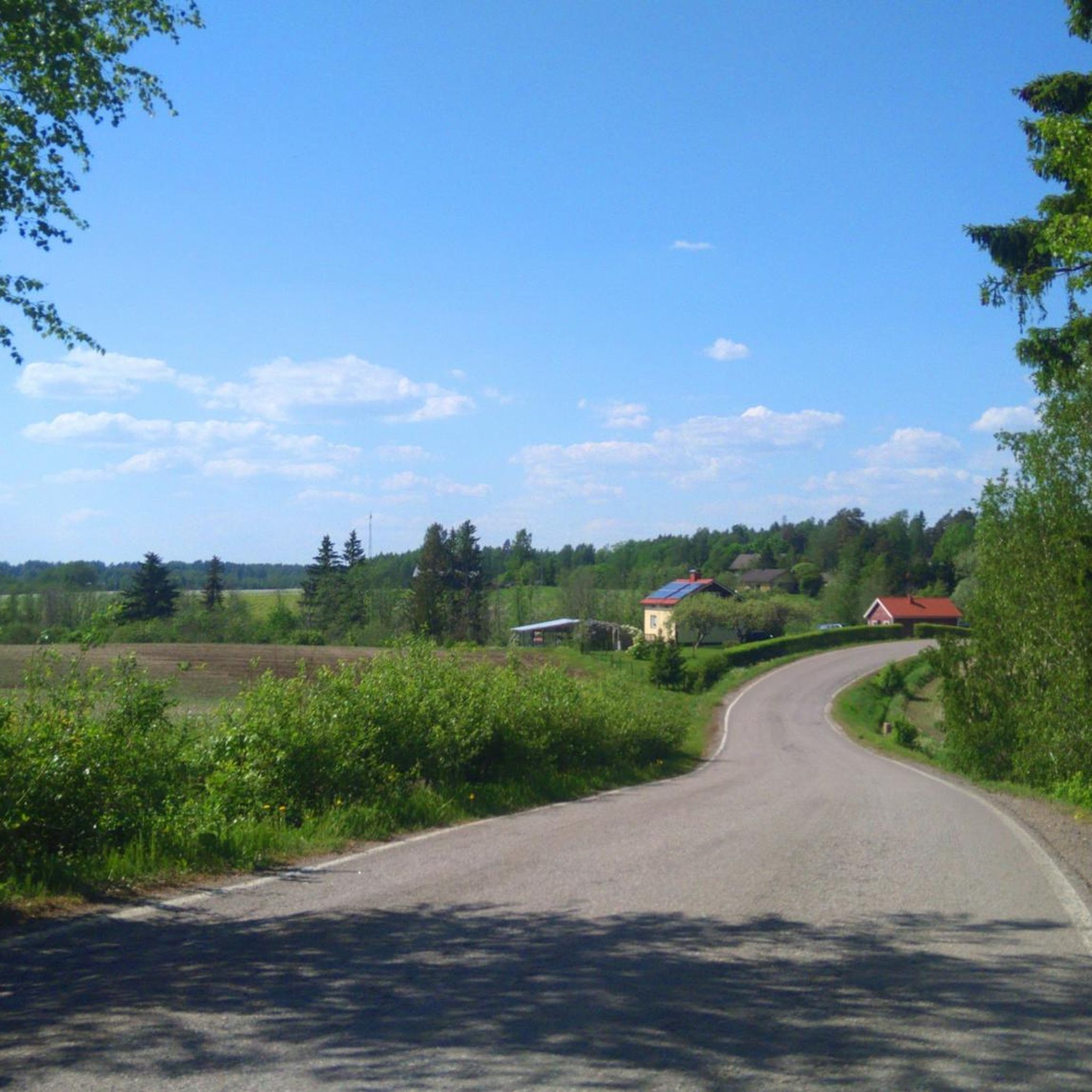
Half way point with opportunity to barbecue, make coffee and visit an outhouse with spectacular view.
1
0
Frequently Asked Questions
What types of hiking trails can I find around Tervakas?
The Tervakas area, situated in the Salo region of Finland, offers a variety of trails primarily through forests and near lakes. You'll find routes ranging from easy strolls to more moderate excursions, suitable for different fitness levels. The landscape is typical of Southwest Finland, with gentle elevation changes.
Are there any easy hiking routes suitable for beginners or families?
Yes, there are several easy routes perfect for beginners or families. For instance, the Hiking loop from Leppäkorpi is a pleasant 4.0 km walk, and the Johannislund Red Wooden House loop from Kiikala Airfield offers a tranquil 5.0 km experience through forested areas and open fields. Another easy option is the Kultalähde loop from Salmijärvi, which is about 2.1 km.
Are there any longer or more challenging hikes near Tervakas?
For those looking for a longer or more moderate challenge, the Rautalampi loop from Aittasaari is a good option. This trail covers about 11.7 km and leads through varied terrain, including woodlands and offers lakeside views. Another moderate route is the Saarnikas loop from Kettula, which is approximately 8.7 km.
Can I find circular hiking routes in the Tervakas area?
Yes, many of the trails around Tervakas are designed as circular routes, allowing you to start and end at the same point. Examples include the Hiking loop from Leppäkorpi, the Johannislund Red Wooden House loop from Kiikala Airfield, and the Rautalampi loop from Aittasaari.
What do other hikers say about the trails around Tervakas?
The hiking routes in Tervakas are highly regarded by the komoot community, holding an average rating of 4.3 stars from 7 reviews. Hikers often appreciate the tranquil outdoor experience, the varied terrain of woodlands and open fields, and the pleasant walks through the local countryside.
Is Tervakas suitable for dog-friendly hikes?
While specific regulations for dogs on trails around Tervakas are not detailed, generally, Finland's outdoor areas are welcoming to dogs, provided they are kept on a leash, especially during nesting seasons or near wildlife. It's always recommended to check local signage or specific trail rules before heading out with your dog.
Are there any national parks or larger nature areas nearby?
Yes, within the broader Salo region where Tervakas is located, Teijo National Park is a notable destination. It offers over 50 kilometers of hiking trails through diverse landscapes including forests, swamplands, seashores, and lakeshores, along with facilities like cooking stalls and camping areas.
What is the best time of year to go hiking around Tervakas?
Finland's natural environment offers opportunities for outdoor activities year-round. For hiking, the warmer months from late spring to early autumn (May to September) typically provide the most comfortable conditions with lush greenery. However, winter hiking can also be a unique experience, especially on well-maintained trails, offering snowy landscapes.
Are there any specific viewpoints or scenic spots along the trails?
The trails around Tervakas often feature lakeside views and lead through scenic forested areas, characteristic of the Finnish landscape. While specific named viewpoints are not detailed for these particular routes, the natural setting itself provides many picturesque moments, especially near the water bodies and within the woodlands.
What kind of wildlife might I spot while hiking in the Tervakas region?
The Tervakas region, with its forests and lakes, is part of Finland's rich natural environment. Hikers might encounter common forest birds, small mammals like squirrels or hares, and various waterfowl near the lake. Finland's nature is generally abundant, offering opportunities for wildlife observation in its quiet areas.
Is there parking available near the trailheads in Tervakas?
While specific parking information for each trailhead around Tervakas is not provided, it is common for Finnish hiking areas to have designated parking spots, especially for popular routes. It is advisable to check the starting points of individual routes on komoot for more precise parking details.
Can I reach the Tervakas hiking trails using public transport?
Information on direct public transport links to the specific trailheads around Tervakas is limited. Generally, in more rural Finnish areas, public transport might be less frequent or require connections. For detailed travel planning, it's recommended to check local bus schedules or consider driving to access the trail starting points.
Most popular routes around Tervakas

Get inspired with the komoot mobile app


Explore more
Browse the best Hikes in other regions.
