The best running trails around Bétheniville
4.7
(3)
95
runners
21
runs
Jogging routes around Bétheniville offer access to the diverse landscapes of the Montagne de Reims Regional Natural Park. The region features a varied topography, including wooded hills, agricultural plains, and extensive vineyards, providing a range of running experiences. An extensive trail network, including paths through dense forests and along the Marne Valley, makes it suitable for various outdoor activities. The park's highest point reaches 288 meters, offering opportunities for varied elevation.
Best jogging routes around Bétheniville
- The most popular jogging…
Last updated: July 4, 2026
6
runners
12.0km
01:20
70m
70m
Moderate run. Good fitness required. Mostly paved surfaces. Suitable for all skill levels.
6
runners
15.7km
01:56
190m
190m
Hard run. Very good fitness required. Mostly paved surfaces. Suitable for all skill levels.

Sign up for free
3
runners
8.01km
00:58
100m
100m
Moderate run. Good fitness required. Mostly paved surfaces. Suitable for all skill levels.
5.0
(1)
3
runners
5.20km
00:33
20m
20m
Moderate run. Good fitness required. Mostly paved surfaces. Suitable for all skill levels.
4
runners
10.7km
01:19
170m
170m
Moderate run. Good fitness required. Mostly paved surfaces. Suitable for all skill levels.
Get access to more routes and recommendations from other explorers.
Sign up for free
Already have an account?
Our route recommendations are based on thousands of hikes, rides, and runs completed by other people on komoot.
Start today with a free account
Your next adventure awaits.
Login or Signup
Popular around Bétheniville

Frequently Asked Questions
How many running routes are available around Bétheniville?
There are over 20 running routes around Bétheniville, offering a variety of experiences within the Montagne de Reims Regional Natural Park. These include options for different skill levels, from easy to difficult.
What kind of terrain can I expect on the jogging trails near Bétheniville?
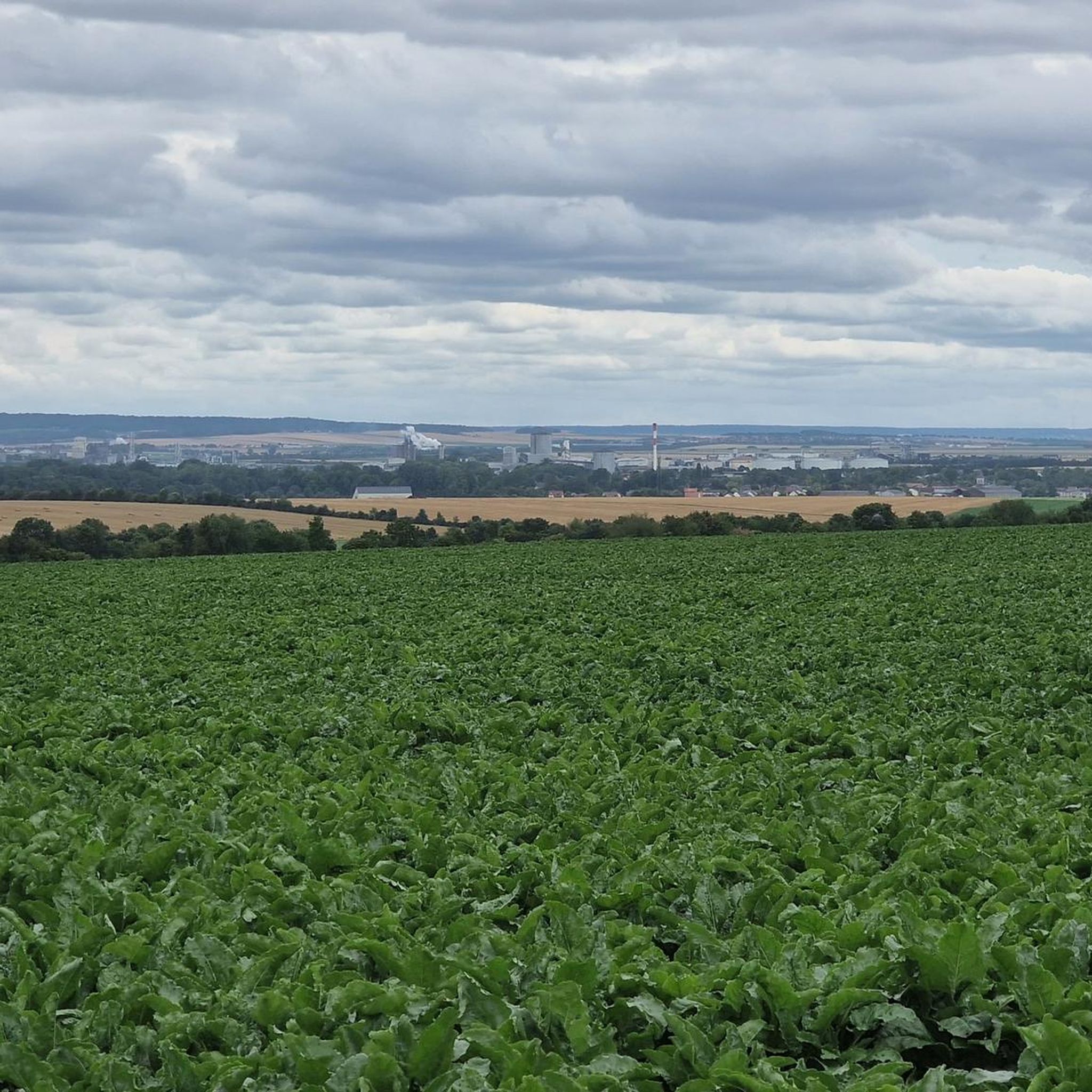
The jogging trails near Bétheniville offer a diverse topography, including wooded hills, agricultural plains, and extensive vineyards. You can expect paths through dense forests, along the scenic Marne Valley, and across vineyard-covered hillsides, providing varied elevation and surfaces for your run.
Are there running routes suitable for beginners or those looking for an easy jog?
Yes, Bétheniville offers several easy running routes. There are 4 easy routes available, perfect for beginners or those seeking a more relaxed pace. These trails often traverse agricultural plains or follow gentler paths.
What do other runners say about the trails in Bétheniville?
The running routes in Bétheniville are highly rated by the komoot community, with an average score of 5.0 stars. Over 90 runners have explored the area, often praising the varied terrain and the natural beauty of the Montagne de Reims Regional Natural Park.
Are there any circular running routes in the area?
Many of the running routes around Bétheniville are circular, allowing you to start and finish in the same location. A popular example is the Running loop from Bétheniville, which is 7.4 miles (12.0 km) long and traverses the varied terrain surrounding the village.
Can I bring my dog on the running trails around Bétheniville?
The Montagne de Reims Regional Natural Park is generally welcoming to dogs, but it's always recommended to keep them on a leash, especially in protected areas, near wildlife, or when passing through agricultural zones. Always respect local signage and regulations.
Are there family-friendly jogging options near Bétheniville?
Yes, there are several easy routes that are suitable for families. These trails typically have less elevation gain and cover shorter distances, making them enjoyable for all ages. The extensive network of paths in the Montagne de Reims offers many gentle options.
What are some scenic viewpoints or natural attractions I might encounter while running?
While running, you might encounter the unique landscape of the Champagne vineyards or tranquil forest areas. Within the Montagne de Reims Regional Natural Park, you can find the famous Faux de Verzy, home to twisted beech trees, or Mont Sinaï, a historic monument with panoramic views. You can explore highlights like Beine-Nauroy or the Greenway Between Isles-sur-Suippe and Heutrégiville.
Are there any routes that follow rivers or offer waterside views?
Yes, some routes offer waterside views, particularly those that follow the Marne Valley. For instance, the La Suippe loop from Selles follows the Suippe river, providing scenic views of the river and surrounding countryside.
What is the best time of year for trail running in Bétheniville?
The Montagne de Reims Regional Natural Park is beautiful year-round. Spring and autumn offer pleasant temperatures and vibrant colors, while summer provides lush greenery and shade in the forest areas. Winter running is also possible, though some trails might be muddy after rain.
Are there any historical sites or landmarks along the running trails?
Yes, the region has historical significance. Mont Sinaï, the highest point in the Montagne de Reims, was an observation post during the Great War and is now a listed historic monument. You can also find highlights such as Camp de Moronvilliers and Moronvilliers, destroyed village, which offer glimpses into the area's past.
Are there options for longer, more challenging runs?
Absolutely. While there are easy and moderate options, the region also features 2 difficult routes for those seeking a greater challenge. The varied topography, with its wooded hills and elevation changes, provides opportunities for more intense training runs.
Can I access the running trails using public transport near Bétheniville?
While Bétheniville itself is a smaller village, its proximity to the Montagne de Reims Regional Natural Park means that some trailheads might be accessible via regional public transport. However, for direct access to many routes, personal transport is often more convenient. It's advisable to check local transport schedules for specific starting points.
Most popular routes around Bétheniville
Most popular attractions around Bétheniville

Get inspired with the komoot mobile app


Explore more
Browse the best Running Trails & Routes in other regions.
