The best running trails around Chenay-Le-Châtel
3.0
(1)
457
runners
87
runs
Jogging around Chenay-Le-Châtel offers diverse running routes through a landscape characterized by rolling hills and varied terrain. The area's elevation ranges from 267 meters to 344 meters, providing opportunities for both challenging inclines and more gentle stretches. Runners can explore prairies, valleys, and wooded areas, which are common features of the Saône-et-Loire region. This natural setting provides an extensive network of trails suitable for various fitness levels.
Best jogging routes around Chenay-Le-Châtel
- The most popular jogging route is Étang de…
Last updated: July 4, 2026
3.0
(1)
23
runners
9.24km
01:03
90m
90m
Moderate run. Good fitness required. Mostly paved surfaces. Suitable for all skill levels.
10
runners
10.1km
01:07
110m
110m
Moderate run. Good fitness required. Mostly paved surfaces. Suitable for all skill levels.

Sign up for free
3
runners
5.18km
00:33
70m
60m
Moderate run. Good fitness required. Mostly paved surfaces. Suitable for all skill levels.
3
runners
9.99km
01:03
80m
80m
Moderate run. Good fitness required. Mostly paved surfaces. Suitable for all skill levels.
5
runners
4.59km
00:29
40m
40m
Easy run. Great for any fitness level. Mostly paved surfaces. Suitable for all skill levels.
Get access to more routes and recommendations from other explorers.
Sign up for free
Already have an account?
Our route recommendations are based on thousands of hikes, rides, and runs completed by other people on komoot.
Start today with a free account
Your next adventure awaits.
Login or Signup
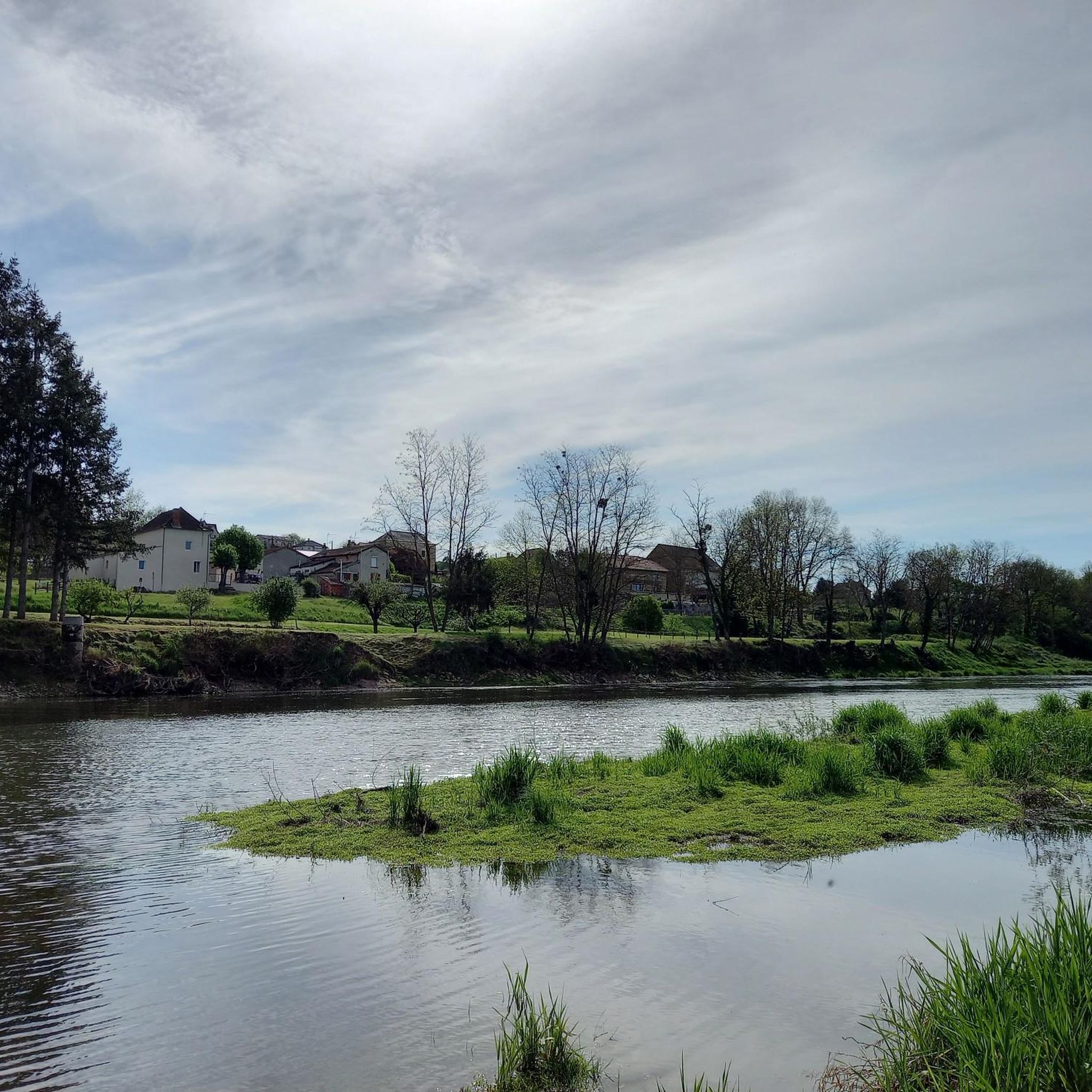
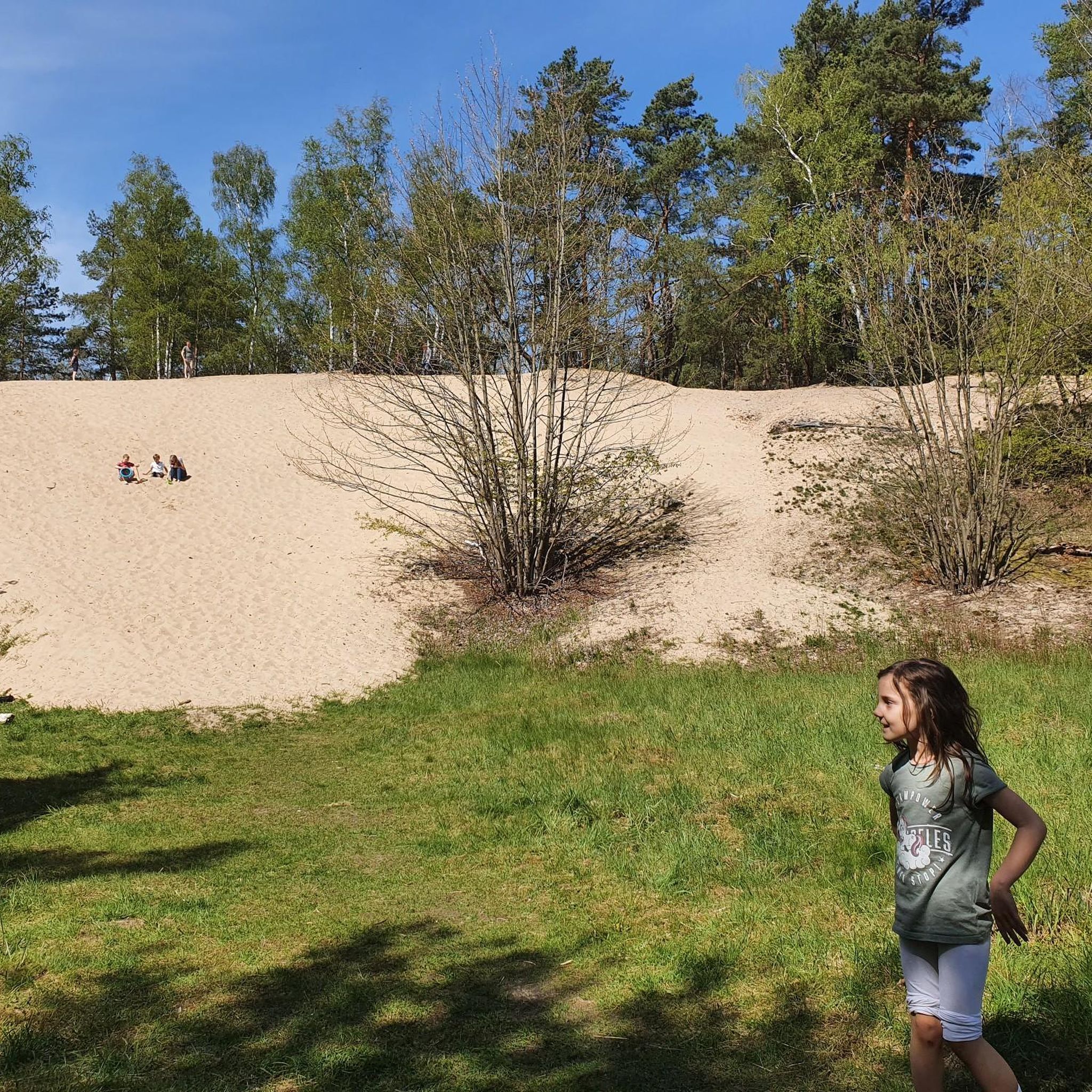
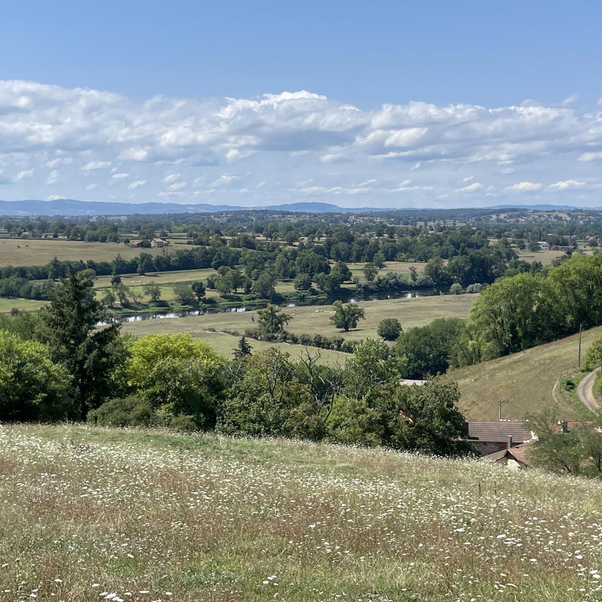
Tips from the Community

Former tile and brick dryer, at the entrance to the Lespinasse forest. Educational activities, exhibitions and tourist information point in July and August. Picnic tables.
1
0

The Lespinasse forest extends over nearly 500 hectares and is a delight for hikers, mountain bikers and fishermen. Crossed by several marked circuits and equipped with picnic tables and games for children, this forest is qualified as a Sensitive Natural Area: a place rich in resources, to be preserved.
1
0
Frequently Asked Questions
How many running routes are available around Chenay-Le-Châtel?
There are over 60 diverse running routes in and around Chenay-Le-Châtel, catering to various fitness levels. These trails explore the region's rolling agricultural lands, bocage, and wooded areas.
Are there any easy jogging routes suitable for beginners or a relaxed run?
Yes, Chenay-Le-Châtel offers several easy running paths. You can find about 5 routes specifically categorized as easy, perfect for a gentle jog or a family outing. Many of the moderate routes also feature relatively gentle gradients, especially those along flatter sections of the landscape.
Can I find circular running routes in Chenay-Le-Châtel?
Absolutely. Many of the running trails in the area are designed as loops, allowing you to start and finish in the same location. For example, the Étang de Bouletière loop from Les Pierrards offers a scenic circular run around local ponds.
What kind of terrain can I expect on the running trails?
The terrain around Chenay-Le-Châtel is characterized by rolling agricultural lands, prairies, and woodlands. You'll encounter a mix of gentle inclines and flatter sections, with elevations ranging from 267 to 344 meters. The region's bocage, with its hedgerows and small fields, provides varied and picturesque scenery.
Are there any scenic viewpoints or natural attractions along the jogging paths?
While specific viewpoints aren't listed, the rural landscape itself offers beautiful scenery. Many routes pass through the charming bocage and agricultural lands. The Running loop from La Pacaudière, for instance, takes you through varied countryside typical of the region, offering pleasant views of the natural surroundings.
Are the running routes in Chenay-Le-Châtel dog-friendly?
Generally, the rural trails around Chenay-Le-Châtel are suitable for dogs, especially given the natural setting of woodlands and agricultural paths. However, it's always advisable to keep your dog on a leash, particularly when passing through farmland or near livestock, and to respect local regulations.
What historical or cultural points of interest can I see while running?
The area is rich in local heritage. While on your run, you might pass by historical elements such as a château or an old hospital, as highlighted by the 'Circuit des deux rivières'. You can also explore nearby attractions like the beautiful La Bénisson-Dieu Abbey or the charming village of Le Crozet, which are accessible from various routes.
Are there any running routes that pass by water features like rivers or ponds?
Yes, the region is known for its network of canals and rivers, and some routes incorporate these features. The Running loop from Céron, for example, is close to the Urbise river, and other routes like the 'Circuit des deux rivières' are named for their proximity to waterways. The guide also mentions routes around local ponds, such as the Étang de Bouletière.
What do other runners enjoy most about the trails in Chenay-Le-Châtel?
The komoot community highly rates the running experiences here, with an average score of 3.0 stars. Runners often praise the tranquil rural setting, the variety of terrain from prairies to woodlands, and the well-maintained paths that allow for peaceful immersion in nature. Over 300 runners have explored these routes, appreciating the diverse options for different ability levels.
Are there any longer running routes for endurance training?
Yes, for those looking for longer runs, there are several options. The 'Circuit des deux rivières' is a prominent 15.5 km path. Additionally, the Le Petit Louvre loop from La Pacaudière offers a challenging 8.7 km run with significant elevation changes, providing a good workout for endurance.
Where can I find parking for the running trails?
Given the rural nature of Chenay-Le-Châtel, parking is generally available at the starting points of many routes, often in or near villages. For example, routes like the Running loop from Grand Couvert typically have accessible parking in the vicinity of their designated start locations.
What is the best time of year to go running in Chenay-Le-Châtel?
The region offers pleasant conditions for running for much of the year. Spring and autumn provide mild temperatures and beautiful scenery with blooming flowers or vibrant fall foliage. Summer can be warm, but the bocage and wooded areas offer welcome shade. Winter runs are also possible, though some paths might be muddy after rain or snow.
Most popular attractions around Chenay-Le-Châtel

Get inspired with the komoot mobile app


Explore more
Browse the best Running Trails & Routes in other regions.
