The best mountain hikes around Kramfors
5.0
(8)
37
hikers
5
hikes
Mountaineering routes around Kramfors traverse the dramatic landscapes of Sweden's High Coast, a UNESCO World Heritage site. The region is characterized by significant land uplift, which has sculpted a rugged environment of high mountains, ancient forests, and a unique coastline. This geological activity has created diverse terrain suitable for various mountaineering experiences.
Best mountaineering routes around Kramfors
- The most popular mountaineering route is Tärnättvattnen – Slåttdalsberget loop from Hummelviksstranden, a 7.0 miles (11.2 km) trail that takes 3 hours…
Last updated: July 4, 2026
5.0
(1)
13
hikers
Hard mountaineering route. Good fitness required. Sure-footedness, sturdy shoes and alpine experience required.
7
hikers
4.04km
01:43
240m
240m
Hard mountaineering route. Great for any fitness level. Sure-footedness, sturdy shoes and alpine experience required.
1
hikers
4.63km
01:38
220m
220m
Moderate mountaineering route. Great for any fitness level. Mostly accessible paths. Sure-footedness required.
Get access to more routes and recommendations from other explorers.
Sign up for free
Already have an account?
Our route recommendations are based on thousands of hikes, rides, and runs completed by other people on komoot.
Start today with a free account
Your next adventure awaits.
Login or Signup
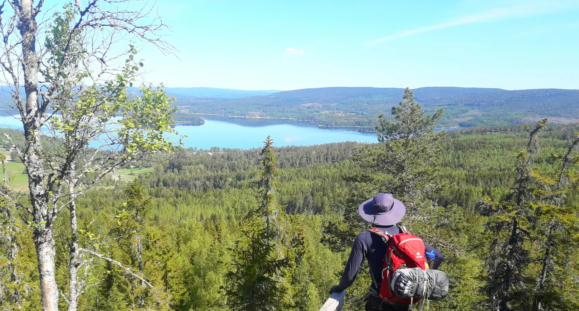
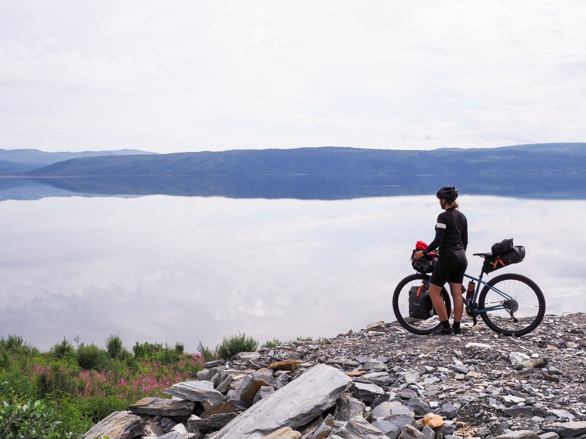
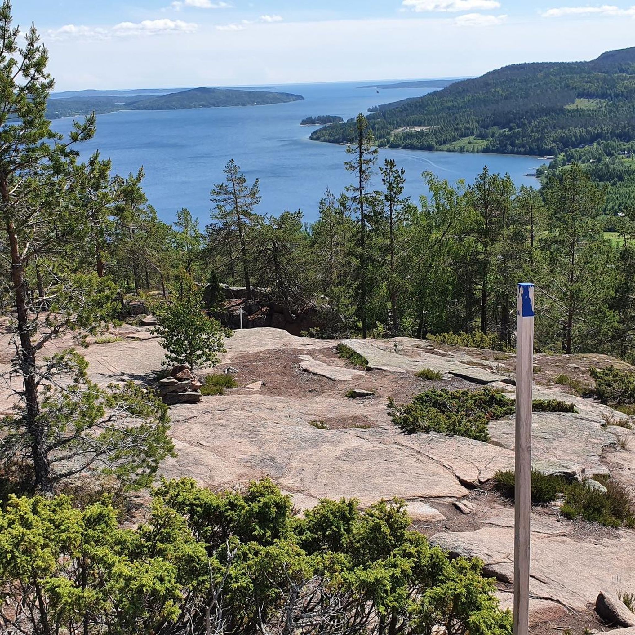
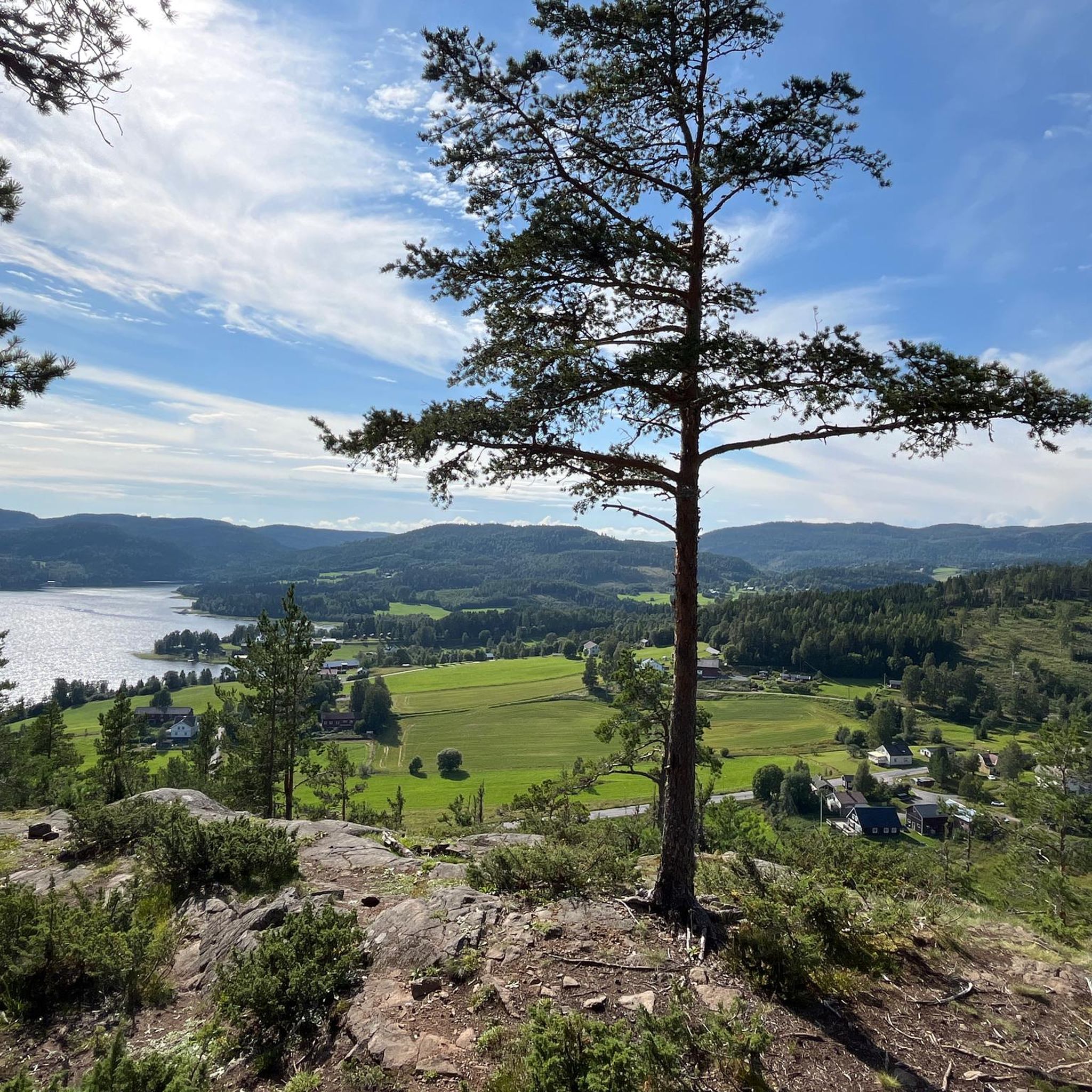


Tips from the Community

Fantastic view from the summit. Barbecue area and overnight accommodation. Cooking area in the hut. Restrooms, and a wood storage facility next door.
0
0

Invites you to relax
0
1

Interesting landscape. You can also walk on wodden planks nearby.
0
0
A lot of hiking trails start here.
0
0
Beautiful little house at the lake. You are allowed to sleep there. Wood for the fireplace is also available and of course a toilet.
0
0
Many beautiful hiking trails start here and you can get infos about the national park and the surrounding area.
1
0

Parking lot - From here you can easily climb to Valkallen.
1
0

The starting point is located here (South Entrance). Various routes are available. Information is available on the wall on site.
1
0
Frequently Asked Questions
How many mountaineering routes are available around Kramfors?
There are currently 5 mountaineering routes available around Kramfors, offering diverse experiences across the High Coast's unique landscape. These routes are highly rated by the komoot community, with an average score of 5.0 stars.
Are there any beginner-friendly mountaineering routes in Kramfors?
While many routes in Kramfors are rated difficult, there is one moderate option available. The Valkallen loop from Strandberget is a 2.9-mile (4.6 km) trail that takes approximately 1 hour 37 minutes, offering a good introduction to the region's terrain.
What unique geological features can I explore on these routes?
The Kramfors area, part of the High Coast UNESCO World Heritage site, is famous for its significant land uplift. You can experience this dramatic geology firsthand on routes like the Tärnättvattnen – Slåttdalsberget loop from Hummelviksstranden, which explores the impressive Slåttdalsskrevan Gorge, a 200-meter-long rock crevice.
Are there any routes that offer a Via Ferrata experience?
Yes, Kramfors is home to Europe's largest Via Ferrata on Skuleberget Mountain. You can tackle this unique challenge on the Via Ferrata to Skuleberget – Skuleberget Viewpoint loop from Skuleberget, which offers varying difficulty levels and breathtaking views from the summit.
What are the best viewpoints along the mountaineering routes?
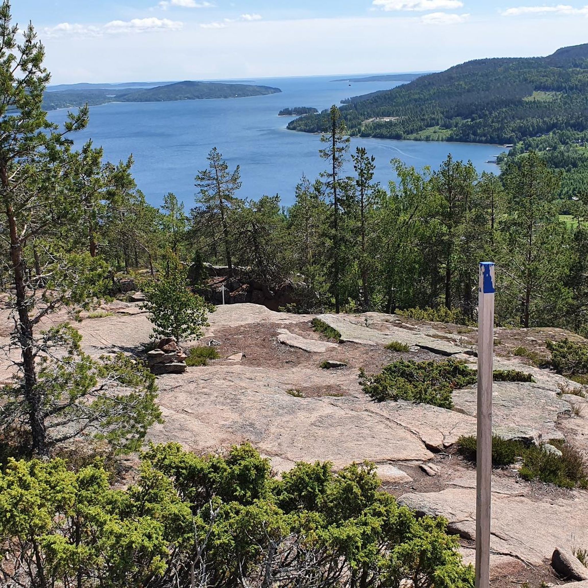
Many routes offer spectacular views of the High Coast. From Skuleberget, you'll get panoramic vistas of forests, lakes, and coastline. Other notable viewpoints include the Valkallen Summit and Cabin, View from Kulberget, and the View from Getsvedjeberget.
Are there any circular mountaineering routes in the area?
Yes, several routes are designed as loops, allowing you to start and end at the same point. Examples include the Tärnättvattnen – Slåttdalsskrevan loop and the Via Ferrata to Skuleberget – Skuleberget Viewpoint loop.
What is the best time of year for mountaineering in Kramfors?
The High Coast region is generally best explored during the warmer months, from late spring to early autumn (May to September), when the weather is milder and trails are clear of snow. This period allows for optimal enjoyment of the dramatic landscapes and coastal views.
Are there any family-friendly options for exploring the mountains?
While the listed mountaineering routes are generally moderate to difficult, families can still enjoy the region's natural beauty. Skuleberget Mountain offers various hiking trails to its summit beyond the Via Ferrata, and Skuleskogen National Park has extensive networks of hiking trails catering to different skill levels, including easier paths suitable for families.
What can I expect regarding trail conditions and terrain?
Mountaineering routes around Kramfors feature varied terrain, from ancient forests to rugged coastal cliffs and high mountains. You can expect paths that traverse rocky sections, forest trails, and potentially steep ascents, reflecting the region's unique geological history of land uplift.
What other attractions are near the mountaineering routes?
Beyond the trails, the region offers several points of interest. Within Skuleskogen National Park, you can visit the Slåttdalsskrevan Gorge and the Tärnättvattnet Hut. The base of Skuleberget also hosts the Naturum Höga Kusten visitor center, providing insights into the area's geology.
How long do the mountaineering routes typically take to complete?
The duration varies significantly by route and difficulty. For example, the difficult Tärnättvattnen – Slåttdalsberget loop is approximately 7 miles (11.2 km) and takes about 3 hours 28 minutes. A shorter, difficult route like the Via Ferrata to Skuleberget loop, at 2.5 miles (4.0 km), takes around 1 hour 42 minutes.
Are there opportunities for traditional rock climbing in the Kramfors area?
Yes, for more experienced climbers, the High Coast region around Kramfors offers traditional rock climbing and bouldering. Notable mountains include Mt Grottberget, Mt Rösås (known for its 120 vertical meters and 35 routes), Mt Örsjöberget, and Ringkallen, which is considered one of Sweden's premier rock climbing areas.
Most popular attractions around Kramfors

Get inspired with the komoot mobile app


