Attractions and Places To See around Salt Spring Island Electoral Area - Top 8
Attractions and places to see around Salt Spring Island Electoral Area offer a diverse range of experiences, from coastal parks to cultural landmarks. This region, part of the Gulf Islands, features a mix of natural landscapes and community-driven projects. Visitors can explore 8 distinct hidden gems, providing opportunities for various outdoor activities. The area is characterized by its island geography, offering viewpoints and waterfront access.
Best attractions and places to see around Salt Spring Island Electoral Area
- The most popular…
Last updated: September 25, 2026
Patricia Bay Park
Highlight • Rest Area
Tip by

Port Sidney Marina
Highlight • Structure
Translated by Google •
Tip by

Sign up now to discover places like this
Get recommendations on the best single tracks, peaks, & plenty of other exciting outdoor places.
Channel Ridge north trails
Highlight (Segment) • Trail
Tip by
Chemainus Murals
Highlight (Segment) • Monument
Translated by Google •
Tip by

Baynes Peak
Highlight • Summit
Tip by

Sign up for free to discover even more attractions around Salt Spring Island Electoral Area.
Already have an account?
Start today with a free account
Your next adventure awaits.
Popular around Salt Spring Island Electoral Area
Tips from the Community

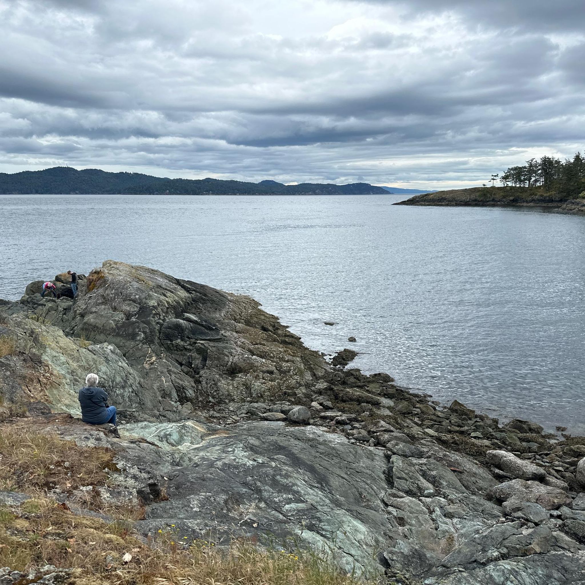
The north end of the Channel Ridge trail system is reached from several access points on the island, with numbered junction signs throughout the entire 15 kilometres of trails to help with orientation. The rolling paths wind through arbutus groves and pine, opening up at many points to beautiful views over St. Mary Lake to the east and Stuart Channel and Vancouver Island to the west. It's a moderately challenging network overall, with noticeably more climbing than the gentler south end. Since there are many intersections that loop through the area, it's a good idea to have your downloaded komoot GPS route along with CRD's trail map (https://www.crd.ca/media/file/channel-ridge-web-map) to keep you on track.
0
0

Rising 603 metres above Burgoyne Bay, Baynes Peak, also known as Mount Maxwell, delivers some of the most dramatic, sweeping views on Saltspring Island. While you can drive directly to the top, Mount Maxwell Road's rough, potholed gravel makes a high-clearance four-wheel-drive vehicle a necessity; otherwise, you can park further down and take one of several forest trails that lead up to the summit viewpoints.
0
0
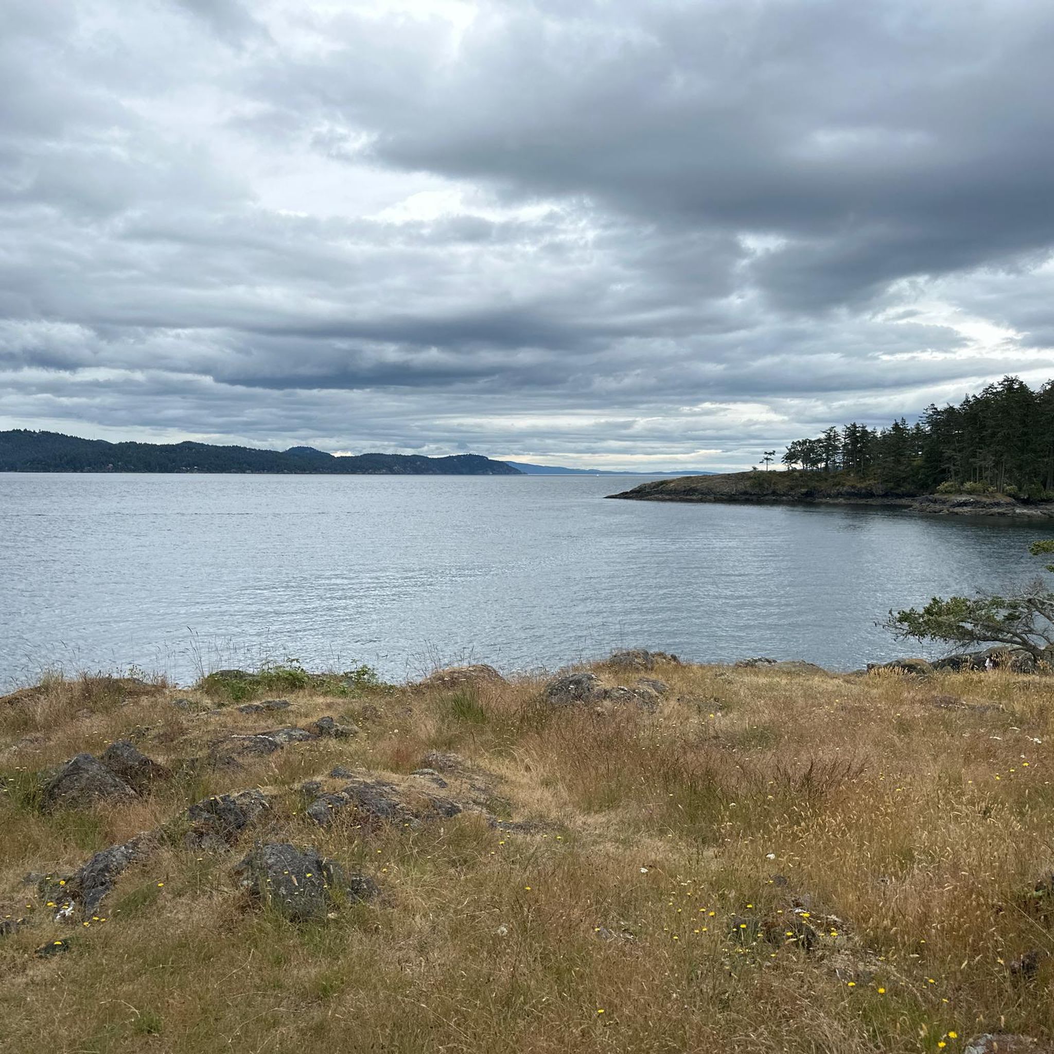
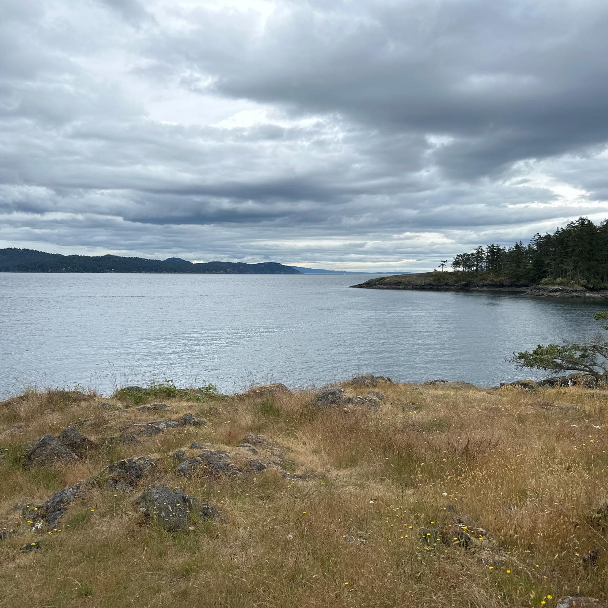
Patricia Bay Park is a quiet waterfront spot in North Saanich with open views of the Saanich Inlet and easy access to the paved Scoter Trail. There are picnic tables, restrooms, and a small beach area, making it a lovely place to stop for lunch or take a break. It’s low-key and family-friendly, perfect for birdwatching, a short walk, or just sitting by the water.
2
0

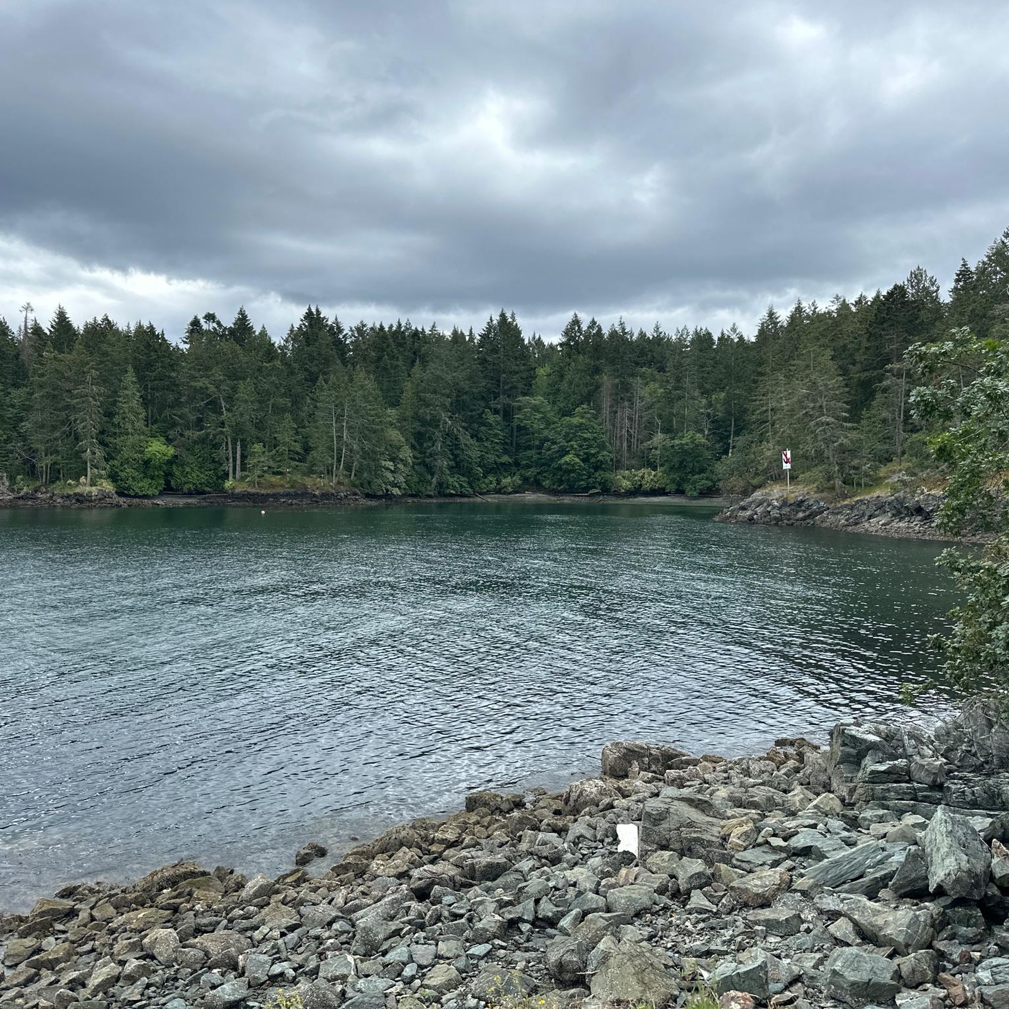
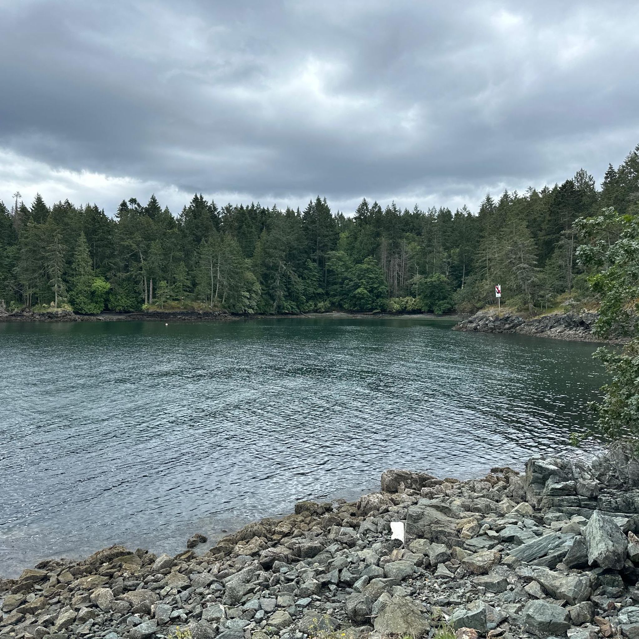
A beautiful place to look out to sea in peace. The boardwalk offers shelter to many creatures, find their traces!
0
0

In the 80s, 39 huge murals were created to attract tourists to the small town - a successful project! All pictures are thematically linked to the history of the place.
1
0
Frequently Asked Questions
Are there family-friendly attractions around Salt Spring Island Electoral Area?
Yes, the region offers several family-friendly spots. Patricia Bay Park is a quiet waterfront area with picnic tables, restrooms, and a small beach, perfect for a relaxed outing. The paved Scoter Trail, which runs along Patricia Bay, is also suitable for families looking for an easy walk.
What kind of outdoor activities can I do near these attractions?
Beyond visiting specific attractions, Salt Spring Island Electoral Area provides opportunities for various outdoor activities. You can explore numerous running and hiking trails. For example, there are easy hikes like the Stoney Hill loop or longer moderate options in Ruckle Provincial Park. You can find more details on these routes in the easy hikes guide or the general hiking guide for the area.
Are there any wheelchair accessible places to visit?
Yes, the Chemainus Murals are explicitly noted as wheelchair accessible. These 39 large murals depict the town's history and are a successful project designed to attract visitors.
What are some less crowded attractions to visit?
For a quieter experience, consider visiting Port Sidney Marina. It offers a peaceful setting to observe the sea and its boardwalk provides shelter for various creatures, making it a serene spot away from larger crowds. Patricia Bay Park is also described as a quiet waterfront spot.
What is the best season to visit Salt Spring Island Electoral Area?
The Salt Spring Island Electoral Area is generally pleasant from spring through fall (April to October), with warmer, drier weather ideal for outdoor activities like hiking and exploring coastal parks. The summer months (July-August) are popular for swimming and enjoying the island's vibrant community markets. While winters are milder, some outdoor activities might be limited by rain.
Are there any good viewpoints or summits in the area?
Yes, for panoramic views, consider a trip to Maple Mountain Summit. It offers stunning vistas over BirdsEye Cove and Maple Bay, providing a rewarding experience for nature lovers.
Can I find easy hiking trails near the attractions?
Absolutely. The region features several easy hiking options. For instance, the Scoter Trail is a flat path along Patricia Bay, perfect for a casual walk. For more dedicated easy hikes, you can explore routes like the Stoney Hill loop. Find more details in the easy hikes guide for the area.
What cultural or historical sites can I explore?
The Chemainus Murals are a significant cultural and historical attraction. These 39 large-scale murals vividly depict the history of the town of Chemainus, offering an engaging way to learn about the region's past.
What should I pack for hiking on Salt Spring Island?
When hiking on Salt Spring Island, it's advisable to pack layers of clothing suitable for changing weather conditions, even in summer. Essential items include comfortable hiking shoes, water, snacks, sun protection (hat, sunscreen), and a light rain jacket. Depending on the trail, insect repellent can also be useful.
Are there opportunities for wild swimming in the Salt Spring Island Electoral Area?
While specific wild swimming spots are not detailed in the provided attractions, the region's numerous coastal parks and beaches, such as those found near Patricia Bay Park and along the Scoter Trail, offer access to the water. Visitors often enjoy swimming in the calm waters of the Saanich Inlet or other sheltered bays during warmer months. Always check local regulations and conditions before swimming.
How does Salt Spring Island Electoral Area compare to other Gulf Islands for attractions?
Salt Spring Island Electoral Area, as part of the Gulf Islands, shares the region's characteristic mix of natural beauty and community-driven projects. It stands out with its diverse range of attractions, from the serene waterfront of Patricia Bay Park to the historical Chemainus Murals. Each Gulf Island offers unique charm, but Salt Spring is particularly known for its vibrant arts scene, local markets, and varied outdoor experiences, including numerous trails and viewpoints like Maple Mountain Summit.
What do visitors enjoy most about the attractions in this area?
Visitors particularly appreciate the blend of natural beauty and accessible amenities. For instance, Patricia Bay Park is loved for its quiet waterfront, open views, and family-friendly facilities. The Scoter Trail is enjoyed for its beautiful shoreline, arbutus trees, and peaceful walking experience. The historical Chemainus Murals are also highly regarded for their unique depiction of local history.
Most popular routes around Salt Spring Island Electoral Area

Get inspired with the komoot mobile app


Explore more
Still not found the Highlight you’re looking for? See guides of the top attractions in other regions:
