The best mountain hikes around Hrašćina
18
hikers
2
hikes
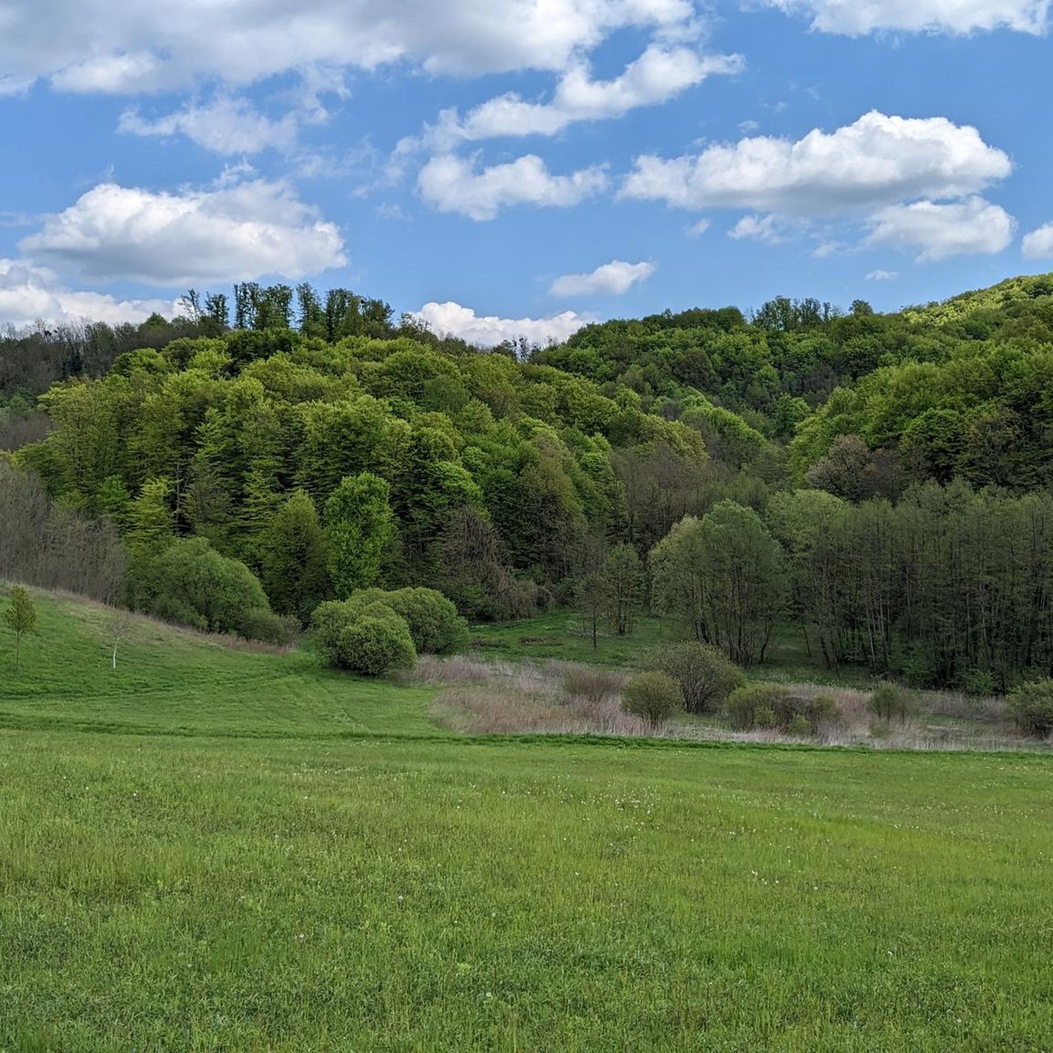
Mountaineering routes Hrašćina are situated within the Krapina-Zagorje County, a region characterized by rolling hills and forested landscapes, particularly around the Ivanščica mountain range. While Hrašćina itself is not a primary mountaineering hub, the surrounding area offers trails through natural woodlands and elevated terrain. These routes provide opportunities to explore the natural features of the Croatian Uplands.
Best mountaineering routes around Hrašćina
- The most popular mountaineering route is Stričevo loop from Ivanščica, a 4.8 miles (7.8 km) trail that…
Last updated: July 12, 2026
7
hikers
7.83km
03:41
580m
580m
Moderate mountaineering route. Good fitness required. Mostly accessible paths. Sure-footedness required.
4
hikers
8.28km
03:58
610m
610m
Moderate mountaineering route. Good fitness required. Mostly accessible paths. Sure-footedness required.

Sign up for free
1
hikers
Moderate mountaineering route. Good fitness required. Mostly accessible paths. Sure-footedness required.
Our route recommendations are based on thousands of hikes, rides, and runs completed by other people on komoot.
Start today with a free account
Your next adventure awaits.
Login or Signup
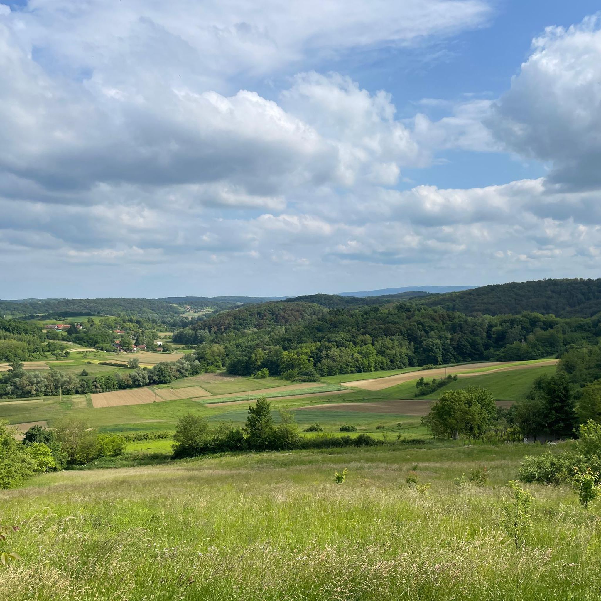
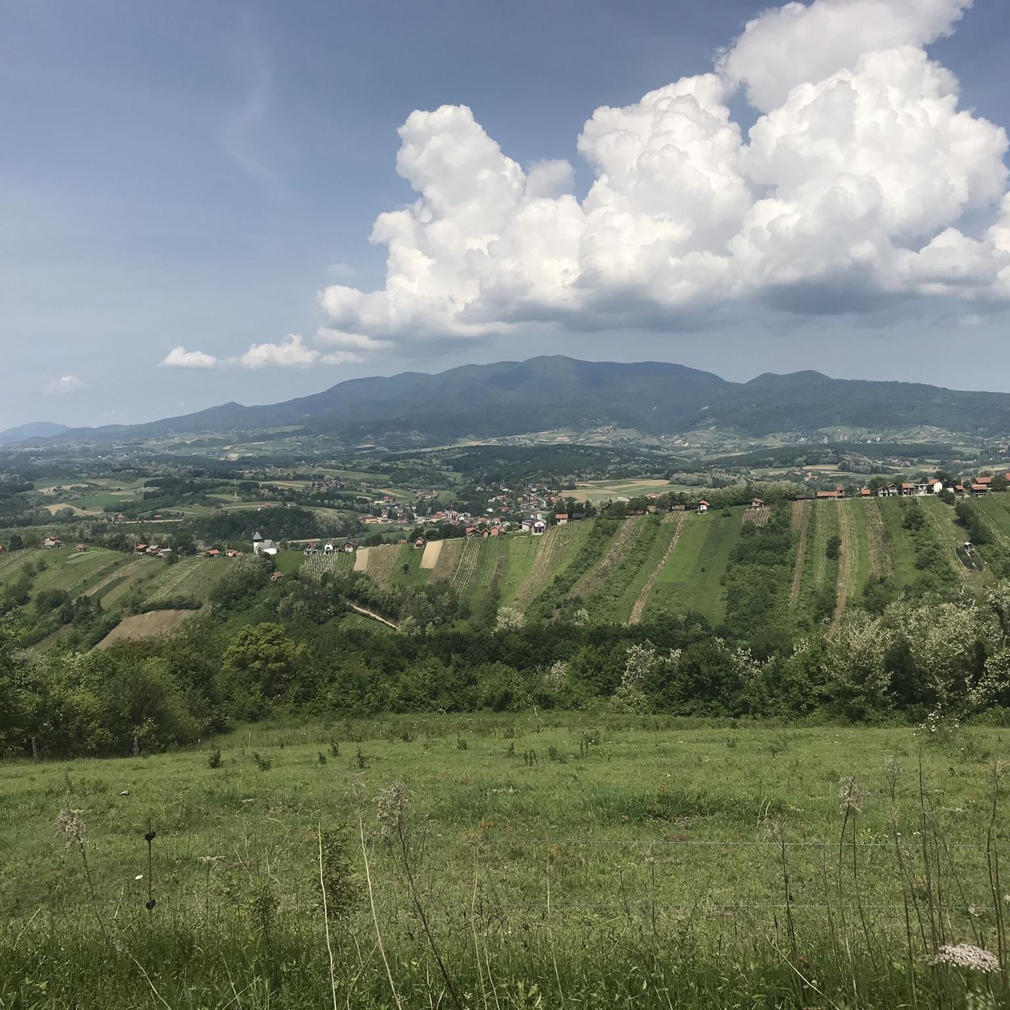
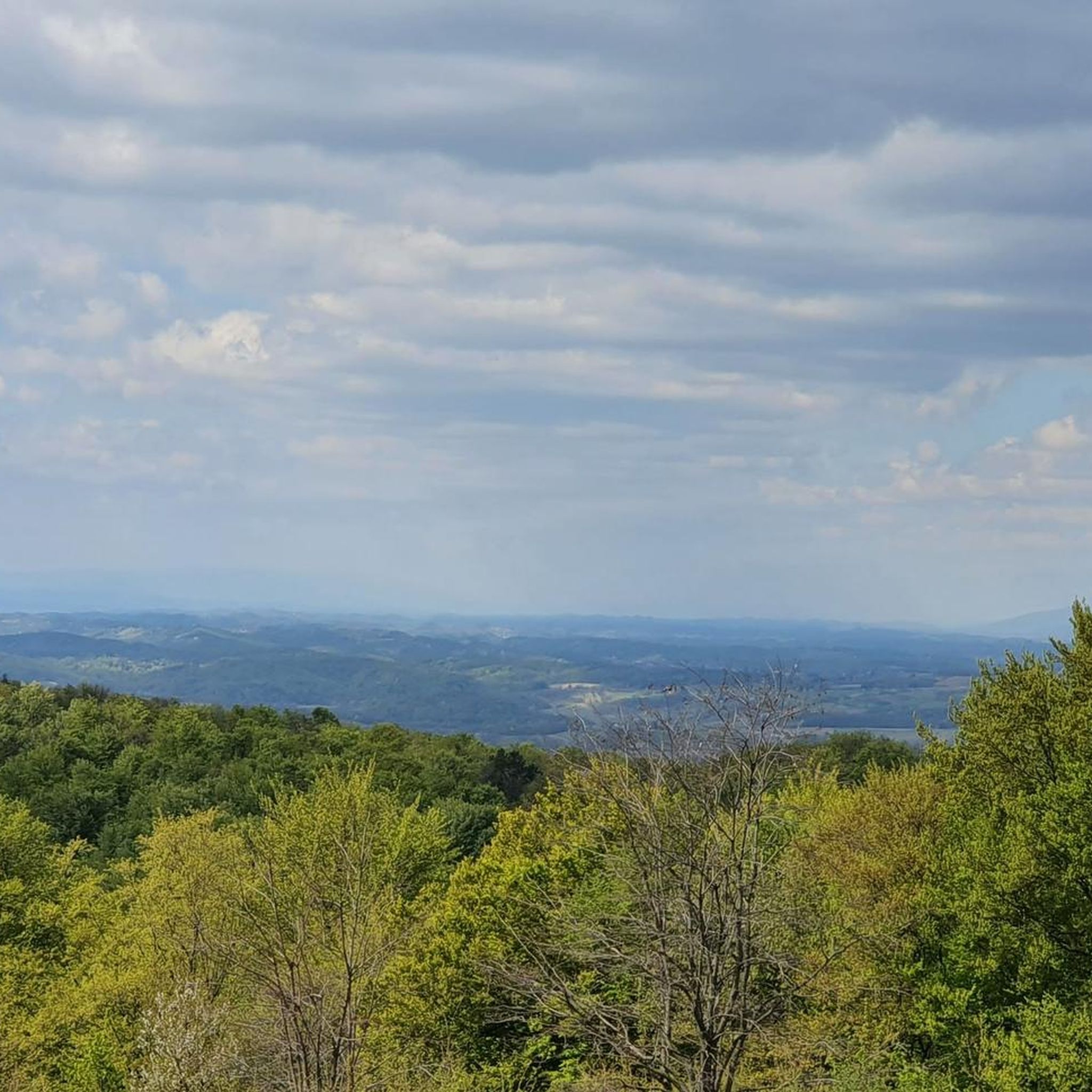
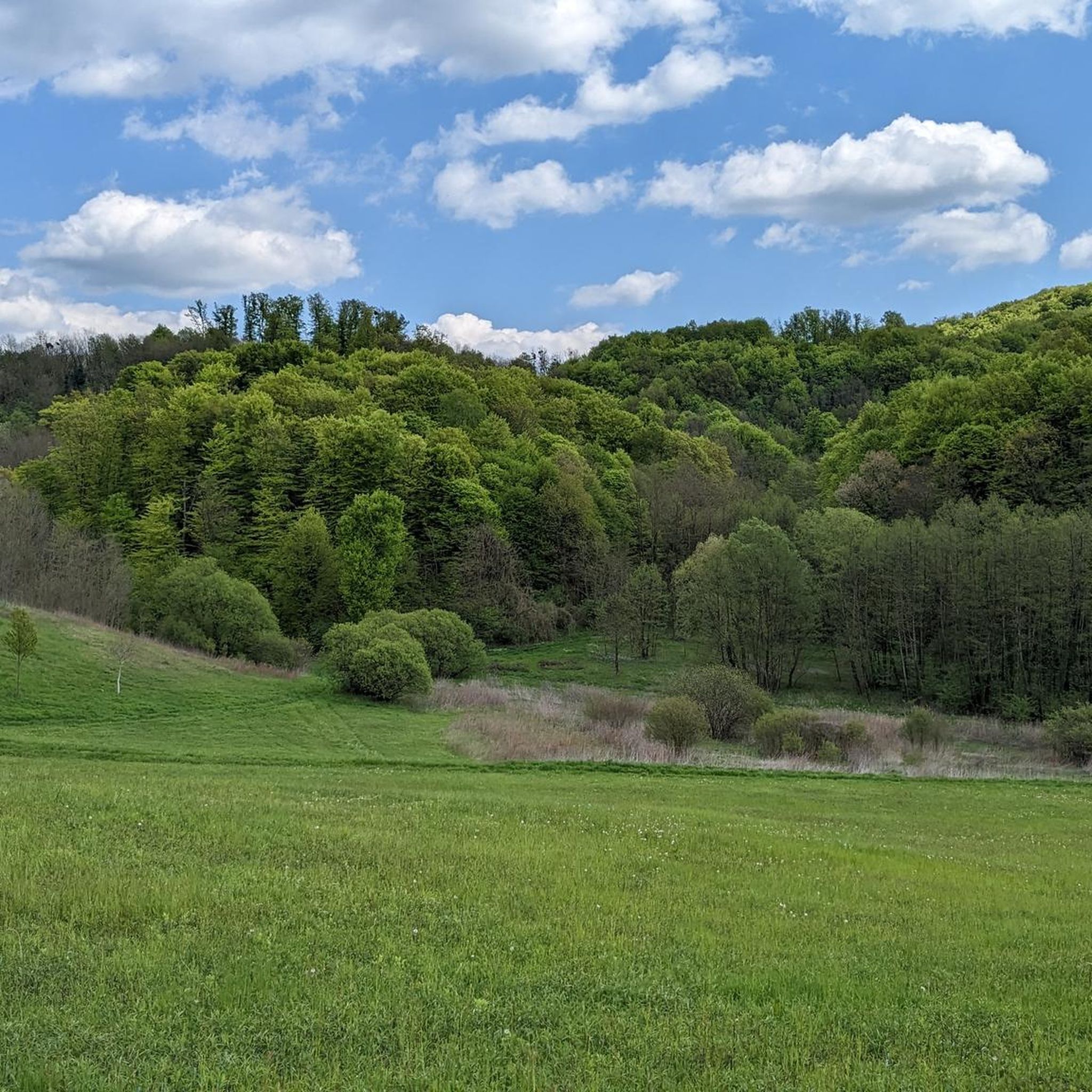
Tips from the Community

Quiet and shaded forest spot on Ivanšćica. The name “Črne mlake” roughly means “black ponds”, which gives the place a slightly mysterious feel. According to local legend, witches used to gather here.
0
0

The mountain lodge is open on Fridays from 3 pm :(
0
0

The path up and down was very, very steep, and on the way down, there were some slippery slopes. The hut at the top is only open on weekends and public holidays (and probably also on the day before a holiday). Good fitness is required.
1
0

Discover the hidden gem at Pionir and witness the breathtaking panorama of Ivanscica Peak and the enchanting northern landscapes of Varazdinska zupanija. A vista that whispers tales of nature's grandeur and invites you to savor the beauty of Croatia's rich landscapes. Lace up your hiking boots, embrace the journey, and let Pionir unveil the magic of Ivanscica in all its glory.
0
0

The place where pain and tears combine to produce a greater sense of despair.
0
0

Keep in mind that very cold winds blow in winter. And it can be fresh in the summer as well.
3
0

One of the most beautiful peaks in Zagorje. A strenuous and short climb.
1
0
Frequently Asked Questions
What kind of mountaineering routes can I expect around Hrašćina?
The mountaineering routes in the Hrašćina area are primarily characterized by forested hills and moderate ascents within the Ivanščica mountain range. You'll find trails that lead through natural woodlands and offer panoramic views from higher elevations, typical of the Croatian Uplands.
How many mountaineering routes are featured in this guide for Hrašćina?
This guide highlights three distinct mountaineering routes around Hrašćina, all located within the Ivanščica mountain range. These routes are carefully selected to showcase the region's natural beauty and offer a rewarding experience.
What is the typical difficulty level of mountaineering routes near Hrašćina?
The mountaineering routes around Hrašćina are generally rated as moderate. They involve sustained climbs and descents across varied terrain, making them suitable for those with a reasonable level of fitness and some hiking experience.
Are there any circular mountaineering routes available?
Yes, all three routes featured in this guide are circular. You can explore the Stričevo loop from Ivanščica, the Veliki Konj – Ivanščica loop from Ivanščica, and the Ivanščica – Veliki rok loop from Ivanščica, all designed to bring you back to your starting point.
What are the best times of year to go mountaineering in Hrašćina?
Given the forested and hilly nature of the region, spring and autumn are generally ideal for mountaineering around Hrašćina. The weather is typically milder, and the natural scenery, whether with blooming flora or vibrant fall colors, is particularly appealing. Summer can also be pleasant, especially in the shade of the woodlands, but be prepared for warmer temperatures.
Are there any specific natural landmarks or viewpoints along the routes?
While specific named landmarks are not detailed for these routes, the trails around Ivanščica mountain are known for offering panoramic views from higher elevations. You'll experience the natural features of the Croatian Uplands, including dense woodlands and open ridges, providing scenic vistas of the surrounding hills.
What do other mountaineers say about the routes in Hrašćina?
Over 10 mountaineers have used komoot to explore Hrašćina's varied terrain. While there isn't a specific rating score available, users generally appreciate the region for its forested hills and the moderate challenge of its ascents, making it a good choice for those looking to explore the Croatian Uplands.
Is Hrašćina a well-known mountaineering destination?
Hrašćina itself is not widely recognized as a primary mountaineering hub. The region is more historically known for a meteorite fall. However, the surrounding Krapina-Zagorje County, particularly around the Ivanščica mountain range, offers accessible trails through natural woodlands and elevated terrain for outdoor enthusiasts.
What is the approximate duration for these mountaineering routes?
The routes in this guide typically take between 3 hours 40 minutes and 4 hours 8 minutes to complete. For example, the Stričevo loop from Ivanščica is about 3 hours 40 minutes, while the Ivanščica – Veliki rok loop from Ivanščica takes approximately 4 hours 8 minutes.
Are there any options for beginner mountaineers in Hrašćina?
The routes around Hrašćina are generally rated as moderate. While not specifically designated for absolute beginners, those with a basic level of fitness and some prior hiking experience should find them manageable. The trails offer a good introduction to mountaineering in a forested, hilly environment.
Can I find cafes or accommodation near the mountaineering trails in Hrašćina?
Information on specific cafes or accommodation directly adjacent to the trailheads in Hrašćina is not readily available. However, as Hrašćina is a municipality, you may find local amenities within the broader area. It's advisable to check local listings or plan your provisions accordingly before heading out.

Get inspired with the komoot mobile app


Explore more
Browse the best Mountain Hikes & Routes in other regions.
