The best mountain hikes around Polmaise
5.0
(1)
9
hikers
2
hikes
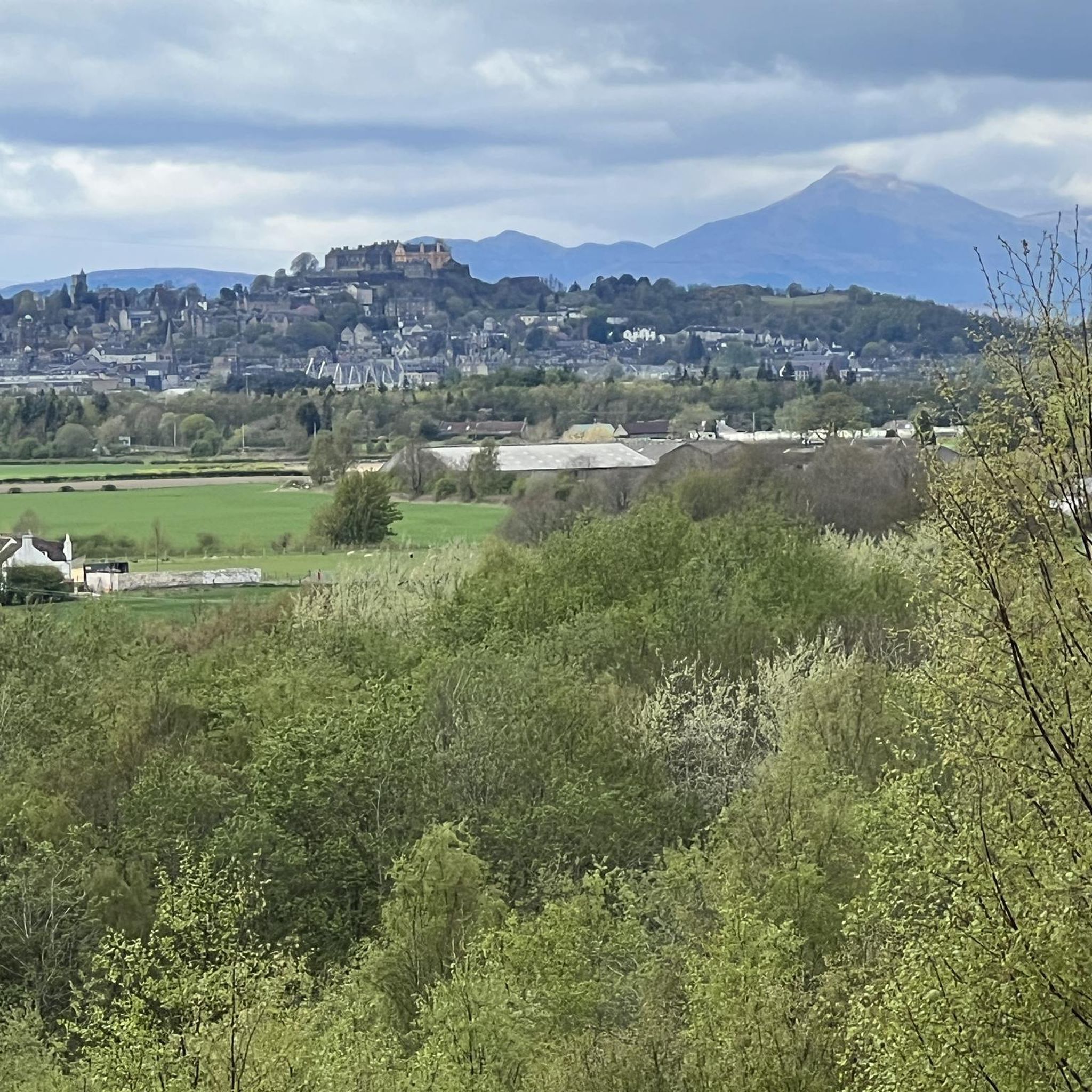
Mountaineering routes Polmaise primarily refer to the nearby Ochil Hills, as Polmaise itself is characterized by woodland and open spaces suitable for walking. The Ochil Hills form a distinct range featuring several peaks, including Ben Cleuch at 721 meters (2,365 feet). The landscape is marked by deep ravines such as Dollar Glen, Silver Glen, and Alva Glen, carved by south-flowing burns. This area provides terrain suitable for hillwalking and developing mountaineering skills.
Best mountaineering routes around Polmaise
- The most popular…
Last updated: October 4, 2026
5
hikers
6.17km
01:53
220m
220m
Easy mountaineering route. Great for any fitness level. Easily-accessible paths. Suitable for all skill levels.
3
hikers
11.1km
04:18
780m
780m
Hard mountaineering route. Good fitness required. Sure-footedness, sturdy shoes and alpine experience required.

5.0
(1)
1
hikers
7.25km
02:53
380m
380m
Hard mountaineering route. Good fitness required. Sure-footedness, sturdy shoes and alpine experience required.
Our route recommendations are based on thousands of hikes, rides, and runs completed by other people on komoot.
Start today with a free account
Your next adventure awaits.
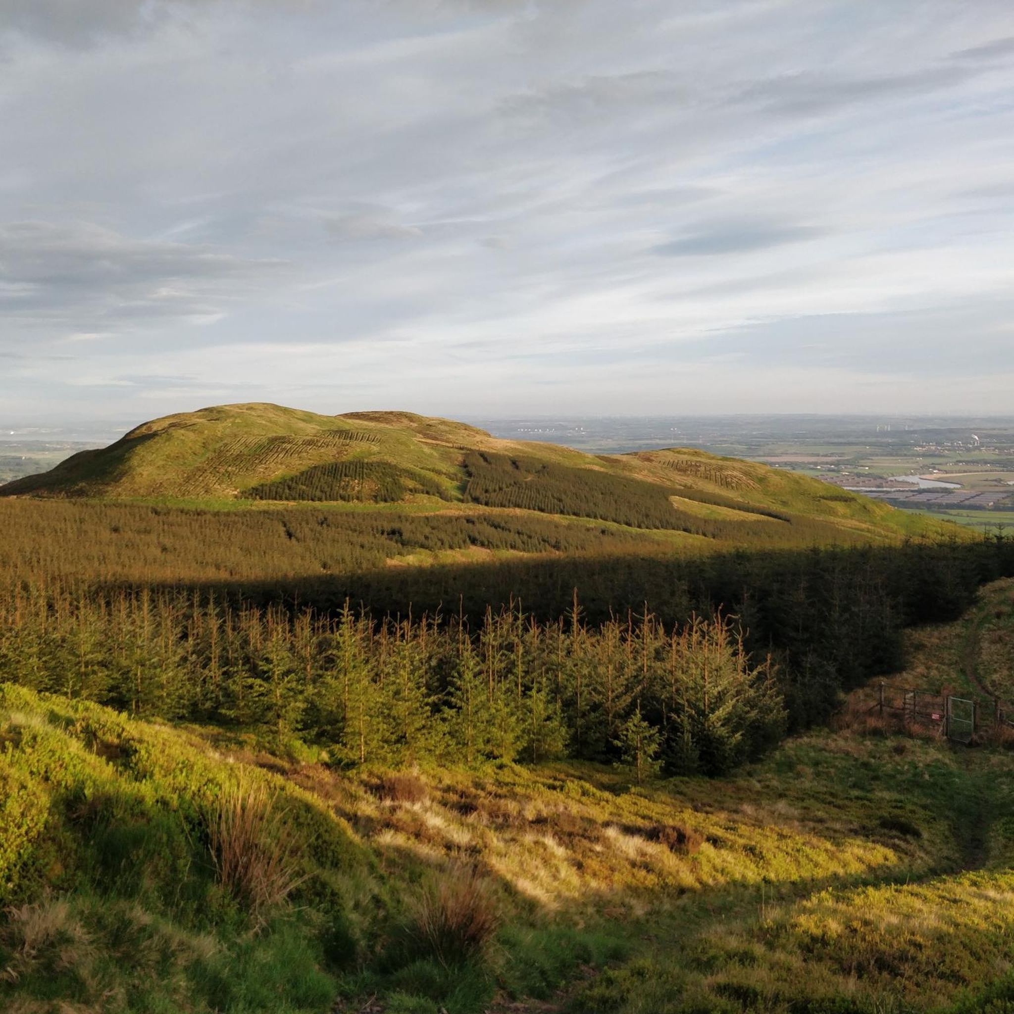
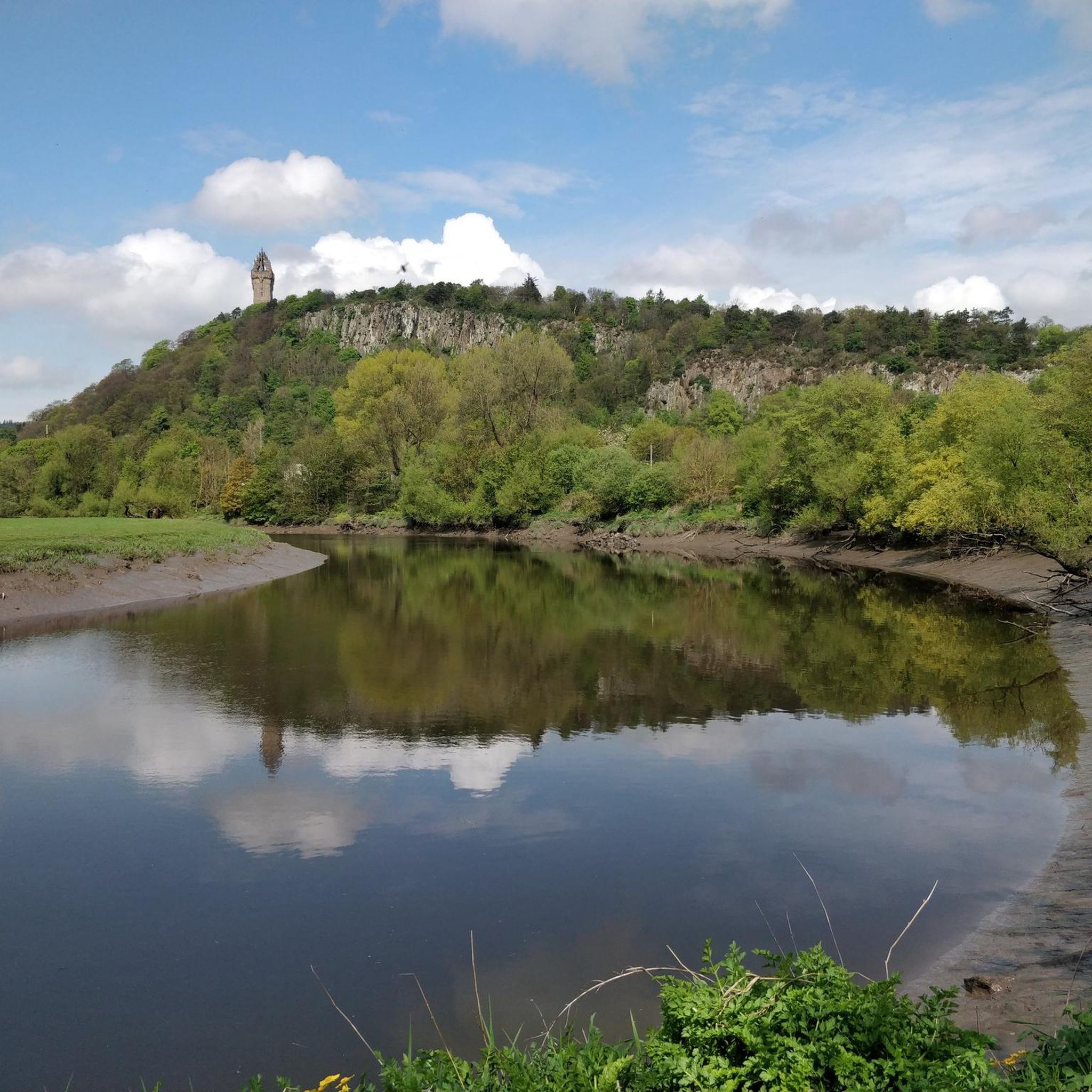
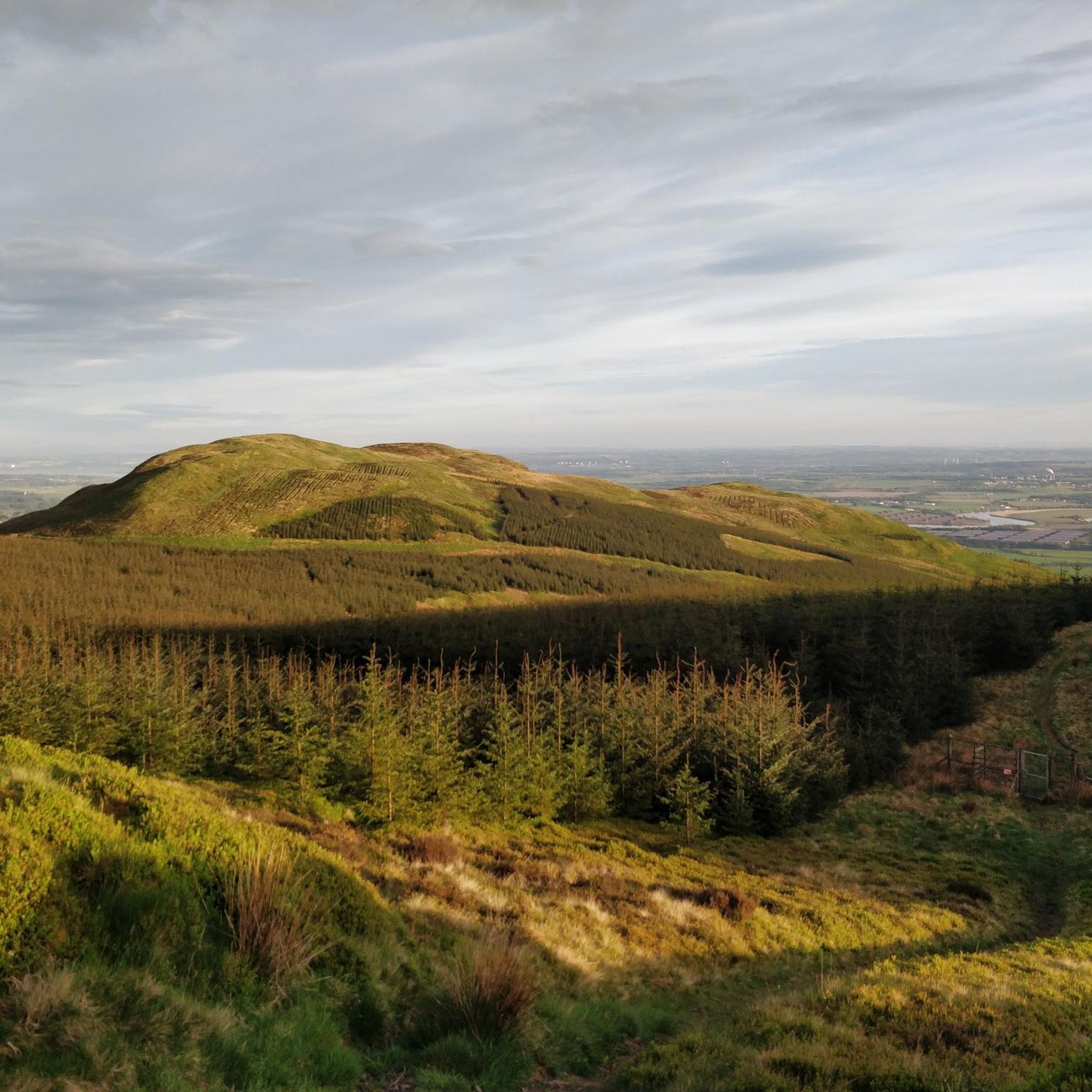
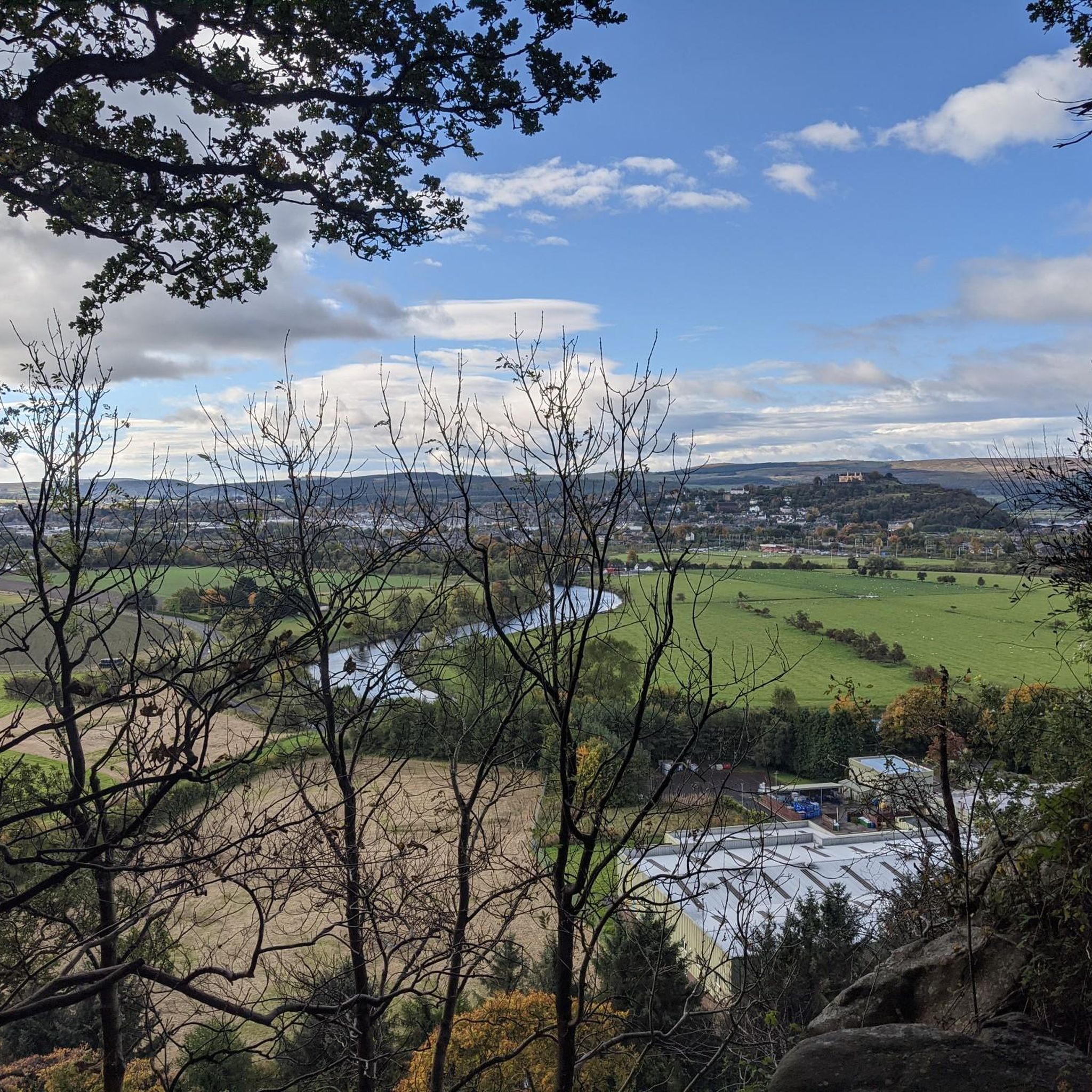
Tips from the Community

Der Andrew Gannell Hill erhebt sich nördlich von Callander in der abwechslungsreichen Landschaft der Trossachs. Der Aufstieg führt durch offene Moor- und Graslandschaften und bietet schöne Ausblicke auf die umliegenden Hügel. Ruhige Wege, weite Landschaften und wenig Trubel machen den Hügel zu einem lohnenden Abstecher abseits der bekannten Touristenpfade.
0
0

It was a great hike and very enjoyable. It’s not too long, but part of the trail involves climbing over some rocks, which can be a bit slippery if it’s wet. The path coming back down the backside is muddy, so if it’s been raining, it’s better to return the same way you went up.
1
0


A short nice woodland run avoiding the road traffic.
1
0

Tricky to get last, especially if you have small dogs or little kids. Surprised there’s not been a temporary measure put in place.
1
0

The path is washed out for around ten metres but with good scrambling skills and care can be passed 😁
0
0

As of 2024 there is no immediate plans by the council to re-instate this trail.
1
0
Tillicoultry Clock Mill is a historic building that was once a woollen mill, producing plaids, tartan, blankets, and kilts. https://youtu.be/02xh6ceVyXk
0
0
Frequently Asked Questions
What kind of mountaineering routes can I find near Polmaise?
While Polmaise itself offers woodland walks, the primary mountaineering opportunities are found in the nearby Ochil Hills. This range features several peaks, including Ben Cleuch, and offers varied terrain from easier hill walks to more challenging ascents through deep glens like Dollar Glen and Alva Glen.
Are there mountaineering routes suitable for beginners?
Yes, there are options for those new to mountaineering. An excellent starting point is the Dumyat Climb, Ochil Hills loop from University of Stirling. This easy 3.8-mile (6.2 km) route offers rewarding views across the Ochil Hills and takes less than two hours to complete.
What about more challenging mountaineering options in the Ochil Hills?
For those seeking a greater challenge, the Ochil Hills provide several difficult routes. Consider The Law – Ben Cleuch loop from Clackmannanshire, a demanding 7.2-mile (11.6 km) path that includes a significant ascent to Ben Cleuch, the highest peak in the range. Another challenging option is the Castle Law – Dumyat loop from Menstrie, which covers 4.5 miles (7.3 km) through varied terrain.
How many mountaineering routes are available around Polmaise?
Komoot currently features a selection of mountaineering routes in the area, primarily focusing on the Ochil Hills. These routes offer diverse experiences for different skill levels.
What natural features or landmarks can I expect to see on these routes?
The Ochil Hills are characterized by their rolling peaks and deep, scenic ravines such as Dollar Glen, Silver Glen, and Alva Glen, carved by south-flowing burns. You can also reach prominent summits like Dumyat Summit and Ben Cleuch summit, offering expansive views.
Are there any specific viewpoints worth visiting?
Absolutely. The summits of Dumyat and Ben Cleuch offer fantastic panoramic views. Additionally, you might find scenic vistas like the View of North Third Reservoir from the East Bank or the Stirling University Cycle Paths and Views of the Wallace Monument, which provide great photo opportunities.
Is public transport available to access the mountaineering routes?
Access to the Ochil Hills can be achieved via public transport to nearby towns like Stirling or Menstrie, from where some trailheads might be reachable by local bus services or a short taxi ride. It's advisable to check local bus schedules for specific trailhead access.
Where can I park when visiting the mountaineering routes?
Parking is typically available near the starting points of many routes, such as at the University of Stirling for the Dumyat Climb loop, or in villages like Menstrie or near Clackmannanshire for other Ochil Hills trails. Always look for designated parking areas and be mindful of local regulations.
What is the best season for mountaineering near Polmaise?
The best season for mountaineering in the Ochil Hills generally runs from spring through autumn, when weather conditions are more stable and daylight hours are longer. Winter mountaineering is possible but requires appropriate gear and experience due to potentially challenging conditions like snow and ice.
Are permits required for mountaineering in the Ochil Hills?
Generally, permits are not required for hillwalking and mountaineering in the Ochil Hills, as Scotland operates under 'freedom to roam' access rights. However, always respect private land and follow the Scottish Outdoor Access Code.
Are there any circular mountaineering routes?
Yes, all the highlighted mountaineering routes in the Ochil Hills are designed as loops, allowing you to start and finish at the same point. Examples include the Dumyat Climb, Ochil Hills loop and The Law – Ben Cleuch loop.
Can I bring my dog on these mountaineering trails?
The Polmaise area and the Ochil Hills are popular with dog walkers, and many trails are dog-friendly. However, it's crucial to keep dogs under control, especially in areas with livestock or ground-nesting birds, and to follow the Scottish Outdoor Access Code regarding responsible dog ownership.
What do other mountaineers say about the routes near Polmaise?
The routes in the Ochil Hills are highly rated by the komoot community, with an average score of 5.0 stars from over 5 reviews. Mountaineers often praise the stunning views, the varied terrain, and the accessibility of these trails for different skill levels.
Most popular attractions around Polmaise

Get inspired with the komoot mobile app


Explore more
Browse the best Mountain Hikes & Routes in other regions.
