The best mountain hikes in Naturschutzgebiet Pfaffenkogel-Gsollerkogel
74
hikers
3
hikes
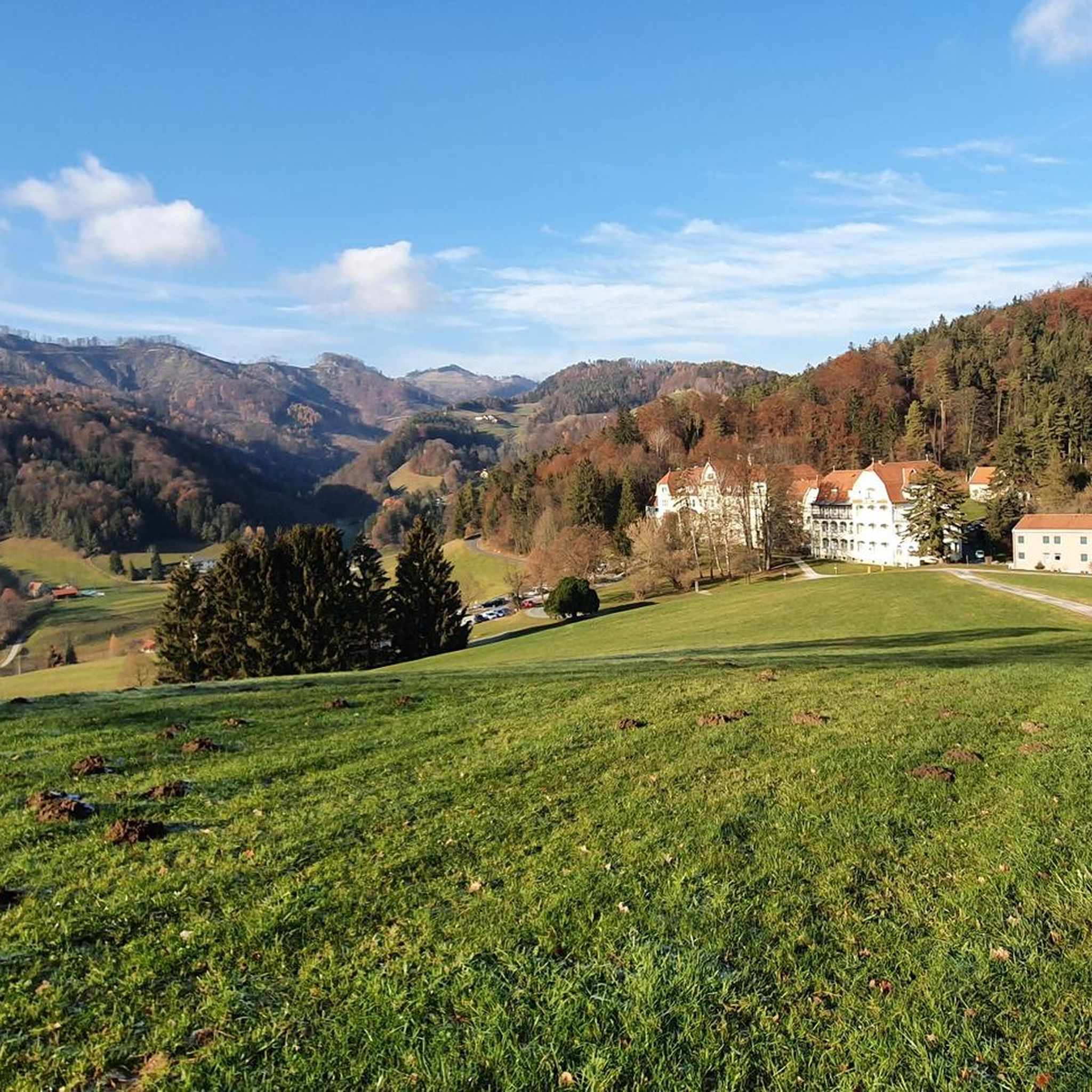
Mountaineering in Naturschutzgebiet Pfaffenkogel-Gsollerkogel offers diverse landscapes within the Graz Uplands, featuring the Pfaffenkogel (730m-734m) and Gsollerkogel (670m-678m) peaks. The area is characterized by pine and mixed beech forests, rocky sites, and grasslands on dolomite formations. Steep eastern slopes contribute to the natural character, providing varied terrain for mountaineering.
Best mountaineering routes in Naturschutzgebiet Pfaffenkogel-Gsollerkogel
- The most popular mountaineering route is Pfaffenkogel loop from Stübing, a 4.9 miles (7.9 km) moderate trail that takes 2 hours 39 minutes to…
Last updated: October 7, 2026
2
hikers
7.94km
02:39
310m
310m
Moderate mountaineering route. Good fitness required. Mostly accessible paths. Sure-footedness required.
6
hikers
9.49km
03:40
490m
490m
Moderate mountaineering route. Good fitness required. Mostly accessible paths. Sure-footedness required.

18
hikers
9.77km
03:41
570m
580m
Moderate mountaineering route. Good fitness required. Mostly accessible paths. Sure-footedness required.
36
hikers
9.99km
03:59
650m
650m
Moderate mountaineering route. Good fitness required. Mostly accessible paths. Sure-footedness required.
12
hikers
9.90km
04:05
650m
650m
Moderate mountaineering route. Good fitness required. Mostly accessible paths. Sure-footedness required.
Our route recommendations are based on thousands of hikes, rides, and runs completed by other people on komoot.
Start today with a free account
Your next adventure awaits.
Popular around Naturschutzgebiet Pfaffenkogel-Gsollerkogel
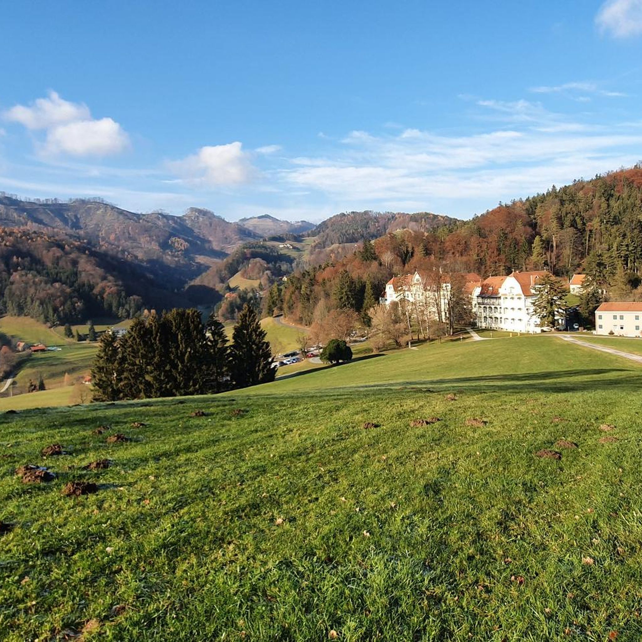
Cycling in Naturschutzgebiet Pfaffenkogel-Gsollerkogel
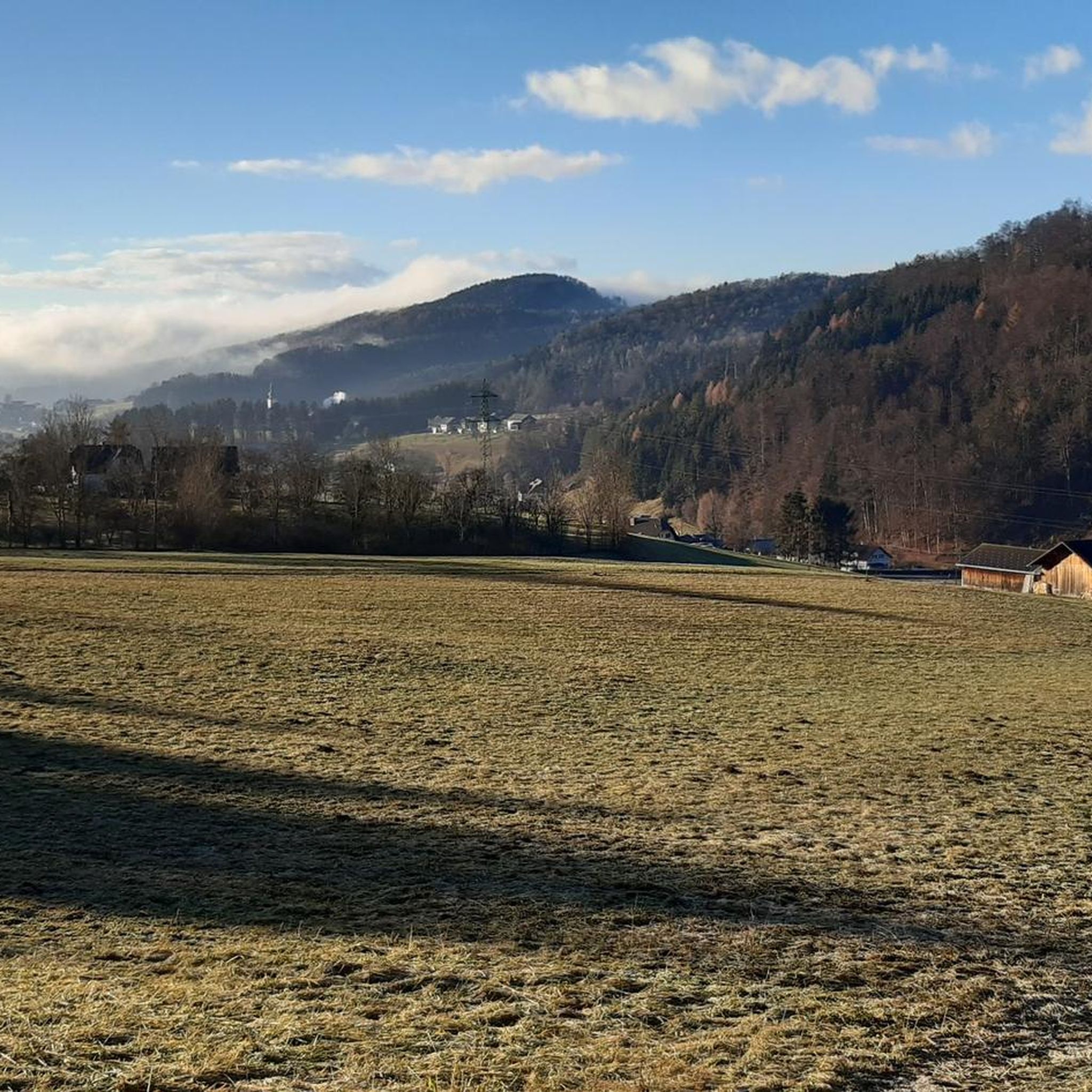
Road Cycling Routes in Naturschutzgebiet Pfaffenkogel-Gsollerkogel
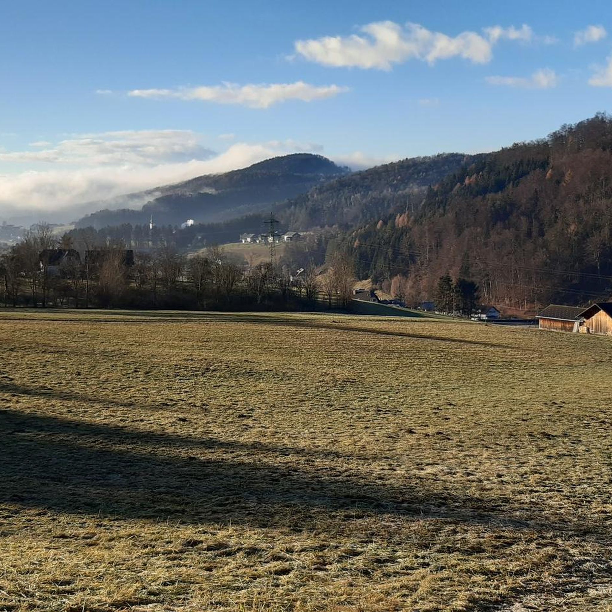
MTB Trails in Naturschutzgebiet Pfaffenkogel-Gsollerkogel
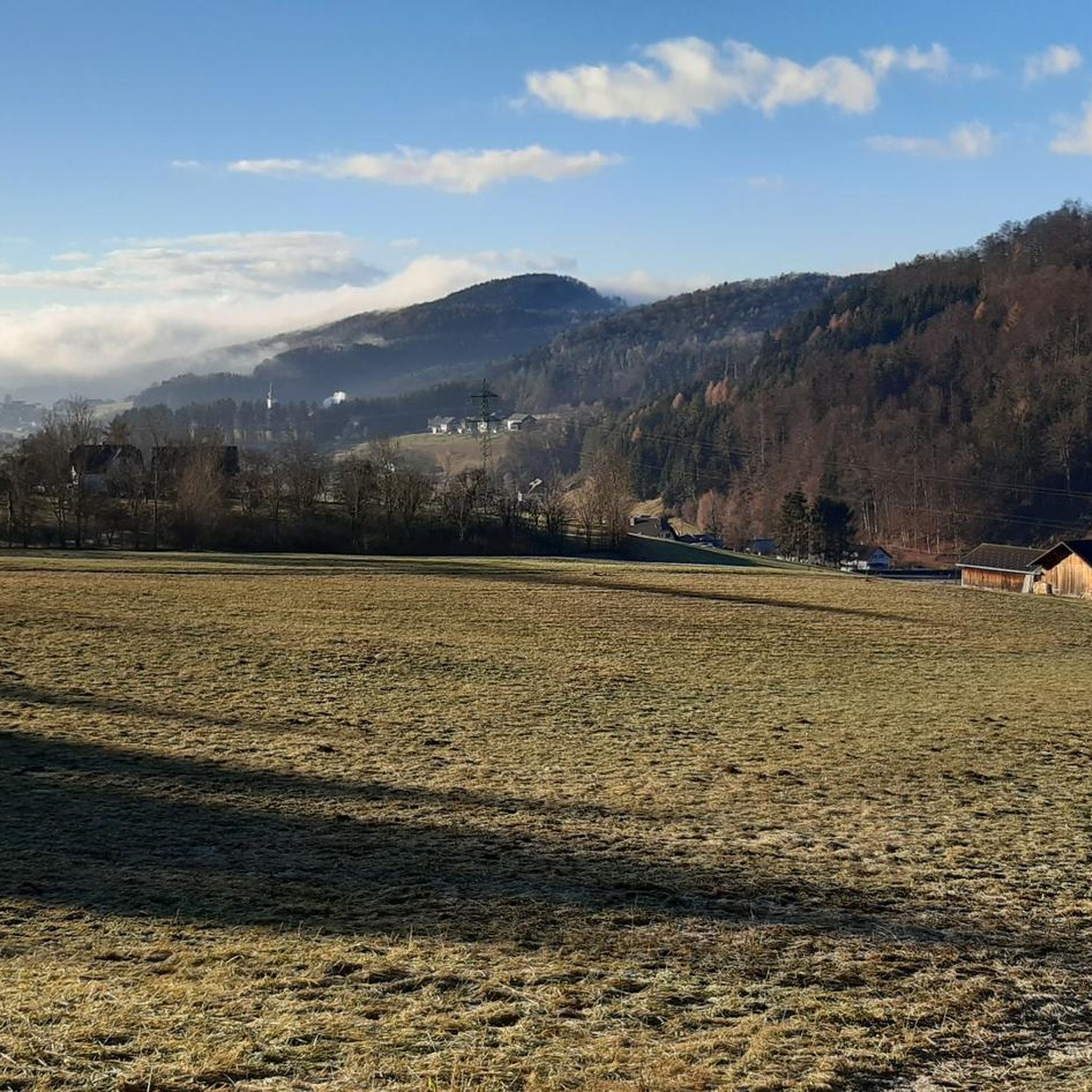
Hiking in Naturschutzgebiet Pfaffenkogel-Gsollerkogel
Running Trails in Naturschutzgebiet Pfaffenkogel-Gsollerkogel
Gravel biking in Naturschutzgebiet Pfaffenkogel-Gsollerkogel
Tips from the Community

Superb lighting before sunset on the west summit
1
0

Very interesting hut with good cider to drink.
0
0

The Niedere Schöckl is also beautiful in winter.
0
0

Currently (Nov 2024) it looks like a renovation is underway here. Someone is putting up a fence around the house - to keep hikers away and fence off private property? (See my photos)
0
0
Great view to the north. The Hochschwab and the Gößeck are also clearly visible.
4
0

If you have been to the Schöckl many times, you should also visit the Niederer Schöckl. When climbing from Stattegg, at the foot of the Leber, you can easily combine both.
0
0
Frequently Asked Questions
What kind of mountaineering routes can I expect in Naturschutzgebiet Pfaffenkogel-Gsollerkogel?
The Naturschutzgebiet Pfaffenkogel-Gsollerkogel offers a range of mountaineering routes, primarily of moderate difficulty, with some more challenging sections. You'll find diverse landscapes, from pine and mixed beech forests to rocky sites and grasslands on dolomite formations. The area is known for its steep eastern slopes, providing varied terrain for exploration.
Are there any routes suitable for beginners or those looking for a less strenuous mountaineering experience?
While most routes are moderate, the area offers paths that can be enjoyed by those with good basic fitness. For example, the Jungfernsprung – Schloss Gösting loop from Thalgraben is a moderate route with less elevation gain compared to others, making it a good option for a more relaxed experience.
Can I find circular mountaineering routes in the nature reserve?
Yes, many of the mountaineering routes in Naturschutzgebiet Pfaffenkogel-Gsollerkogel are circular, allowing you to start and end at the same point. Popular options include the Pfaffenkogel loop from Stübing, which features a steep ascent, or the Apfelstein – Mühlbacherhütte loop from Hörgas, winding through varied forest types.
What are the best viewpoints along the mountaineering trails?
From the summits of Pfaffenkogel and Gsollerkogel, you're rewarded with spectacular panoramic views of Stübing and the Mur Valley. On clear days, you might even spot the historic 900-year-old Rein Abbey. The View of the Mur Valley is a particularly notable highlight.
Are there any specific landmarks or attractions I should look out for?
Beyond the natural beauty, you can visit the Austrian Open-Air Museum, Stübing, which is located in the Enzenbachgraben valley separating the two main peaks. Combining a visit to the museum with a circular hike through the Pfaffenkogel is a popular activity. The Pfaffenkogel summit itself is a significant landmark.
Is it possible to access the mountaineering routes using public transport?
Yes, the nature reserve is accessible via public transport. The Pfaffenkogel can be reached from railway stations like Gratwein and Stübing. For instance, one route from Stübing station involves a steep ascent on the northern side to reach the summit.
Where can I park my car when visiting the Naturschutzgebiet Pfaffenkogel-Gsollerkogel?
Parking is generally available near the trailheads in surrounding villages such as Stübing, Hörgas, Deutschfeistritz, or Judendorf-Straßengel. Specific parking information can often be found on local community websites or detailed tour descriptions.
Are dogs allowed on the mountaineering trails?
Generally, dogs are permitted on hiking and mountaineering trails in the Naturschutzgebiet Pfaffenkogel-Gsollerkogel. However, it's always recommended to keep them on a leash, especially in nature reserve areas, to protect wildlife and ensure the safety of other visitors. Please respect local signage regarding dog regulations.
What is the best time of year to go mountaineering in this region?
The Naturschutzgebiet Pfaffenkogel-Gsollerkogel is enjoyable throughout much of the year. Spring and autumn offer pleasant temperatures and vibrant scenery, with autumn providing particularly beautiful foliage. Summer is also suitable, though some sections might be warmer. Winter mountaineering is possible but requires appropriate gear and awareness of conditions, especially on steeper or rocky passages.
Are there any more challenging or technical sections for experienced mountaineers?
Yes, for those seeking a more technical challenge, a short climbing tour is available on a rocky section located on the northeast flank of the Pfaffenkogel. Additionally, trails like the "Pfaffenkogelsteig" are known for their challenging passages, and the Schartnerkogel – Gamskogel loop from Deutschfeistritz includes rocky sections that require good footing.
Are there any places to eat or stay near the mountaineering routes?
You'll find options for refreshments and accommodation in the nearby towns and villages such as Stübing, Gratwein-Straßengel, and Deutschfeistritz. For example, Mostschenke Hörgasbauer is a place to eat that can be found near some of the routes.
How long do the mountaineering routes typically take to complete?
The duration of routes varies depending on their length and difficulty. For instance, the Mur – Flösserkogel loop from Judendorf-Straßengel is a moderate route that typically takes around 3 hours and 47 minutes, while shorter loops might be completed in under 3 hours.
Most popular routes in Naturschutzgebiet Pfaffenkogel-Gsollerkogel
Most popular attractions in Naturschutzgebiet Pfaffenkogel-Gsollerkogel

Get inspired with the komoot mobile app


Explore more
Browse the best Mountain Hikes & Routes in other regions.
