The best mountain hikes around Wetzikon
4.8
(5)
23
hikers
4
hikes
Mountaineering routes around Wetzikon are situated within the Zurich Highlands, a region characterized by its varied "mountainous landscape" and extensive trail networks. The terrain features forested mountains, such as Hüttchopf (1232.1 m), and offers panoramic viewpoints like Bachtel Tower. The area also includes natural features like the Pfäffikersee lake with its protected reed beds and moorland. These routes primarily involve mountain hiking, with trails ranging from easy to moderate difficulty.
Best mountaineering routes around Wetzikon
- The most popular mountaineering route…
Last updated: October 9, 2026
4.5
(2)
11
hikers
7.00km
02:37
410m
410m
Moderate mountaineering route. Good fitness required. Mostly accessible paths. Sure-footedness required.
3
hikers
7.01km
02:22
330m
330m
Moderate mountaineering route. Good fitness required. Mostly accessible paths. Sure-footedness required.

5.0
(2)
4
hikers
15.0km
04:43
500m
500m
Moderate mountaineering route. Good fitness required. Mostly accessible paths. Sure-footedness required.
2
hikers
9.93km
03:00
320m
320m
Moderate mountaineering route. Good fitness required. Easily-accessible paths. Suitable for all skill levels.
5.0
(1)
3
hikers
22.5km
07:18
930m
930m
Hard mountaineering route. Very good fitness required. Mostly accessible paths. Sure-footedness required.
Our route recommendations are based on thousands of hikes, rides, and runs completed by other people on komoot.
Start today with a free account
Your next adventure awaits.
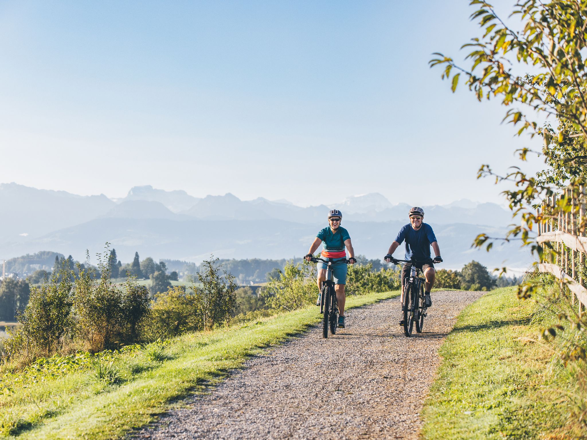
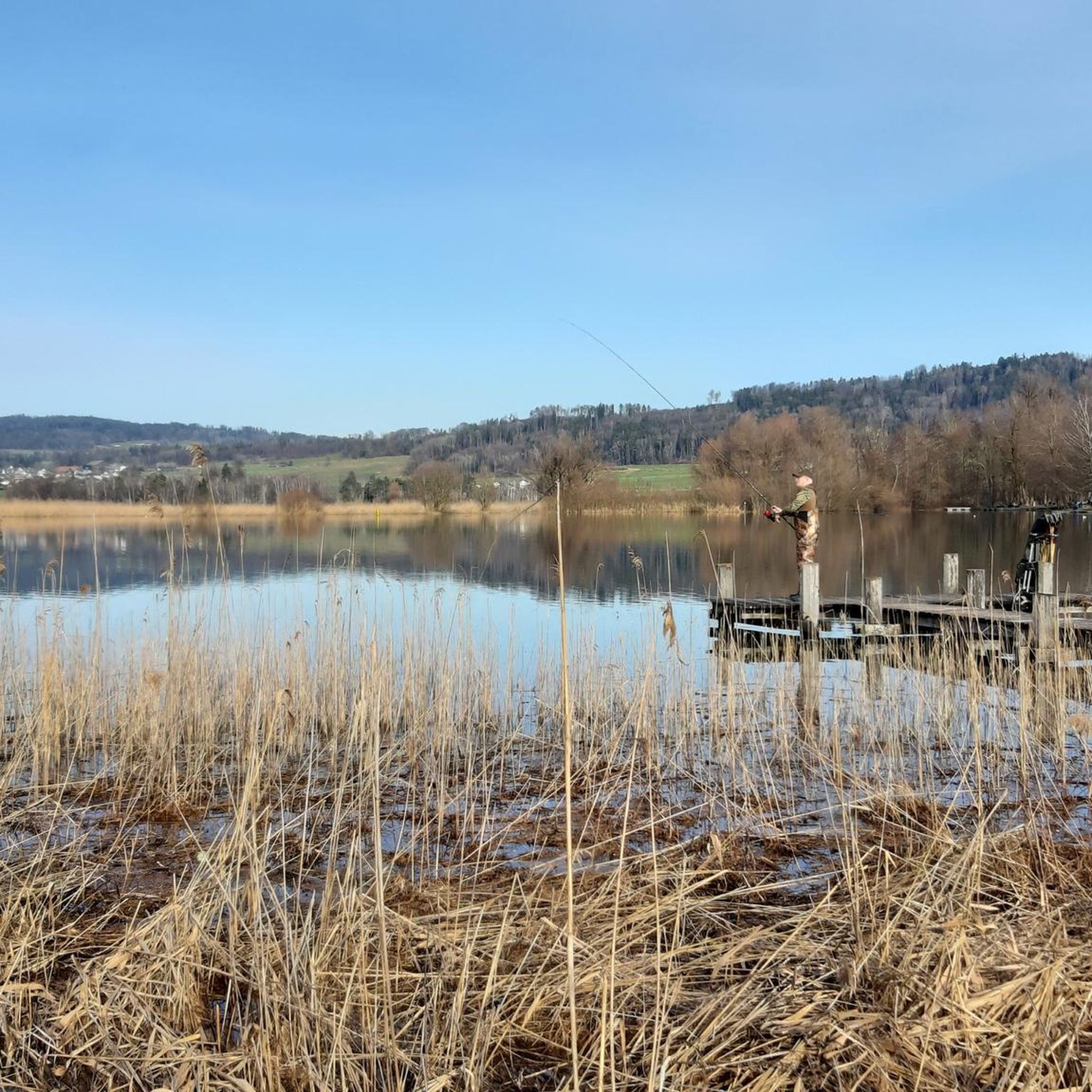

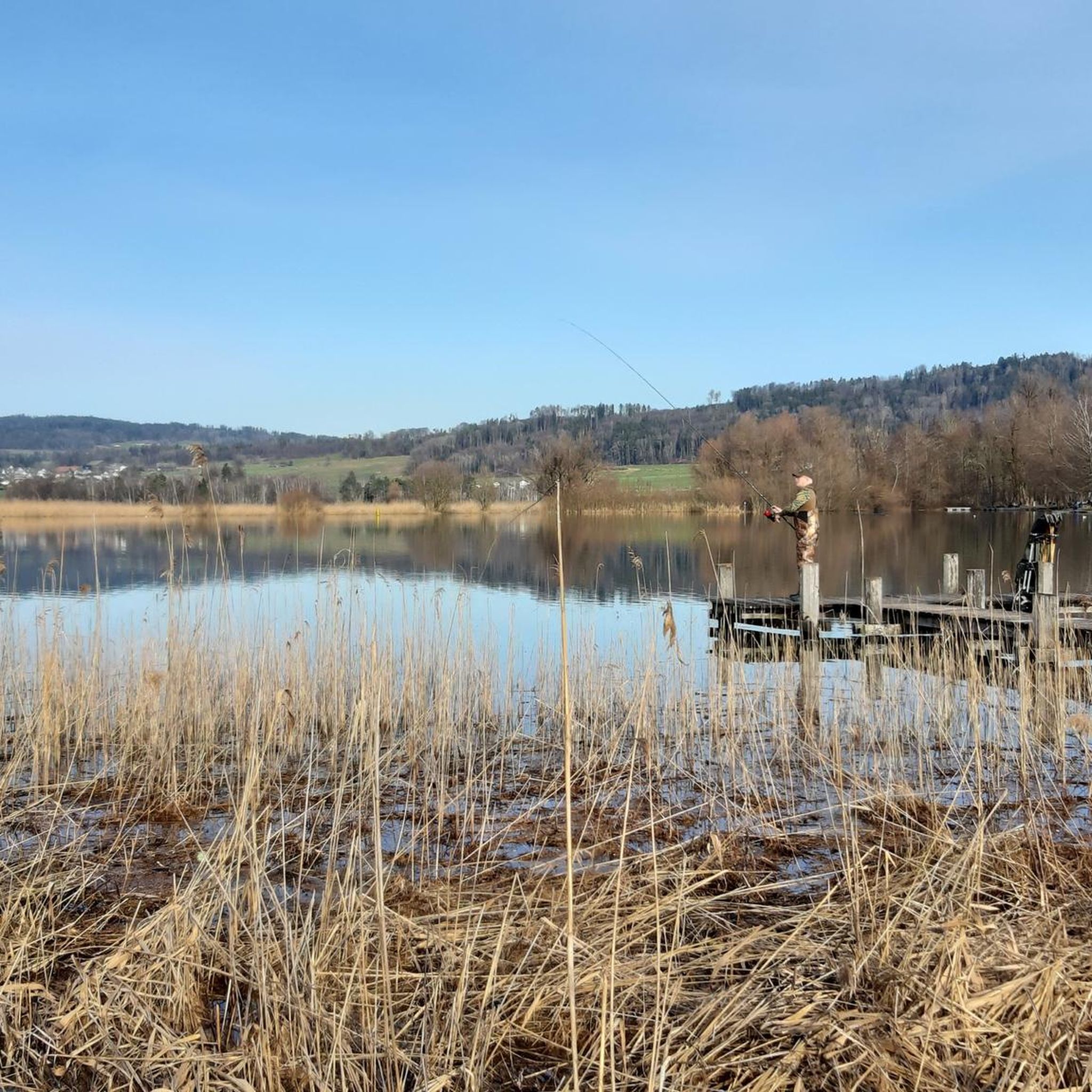
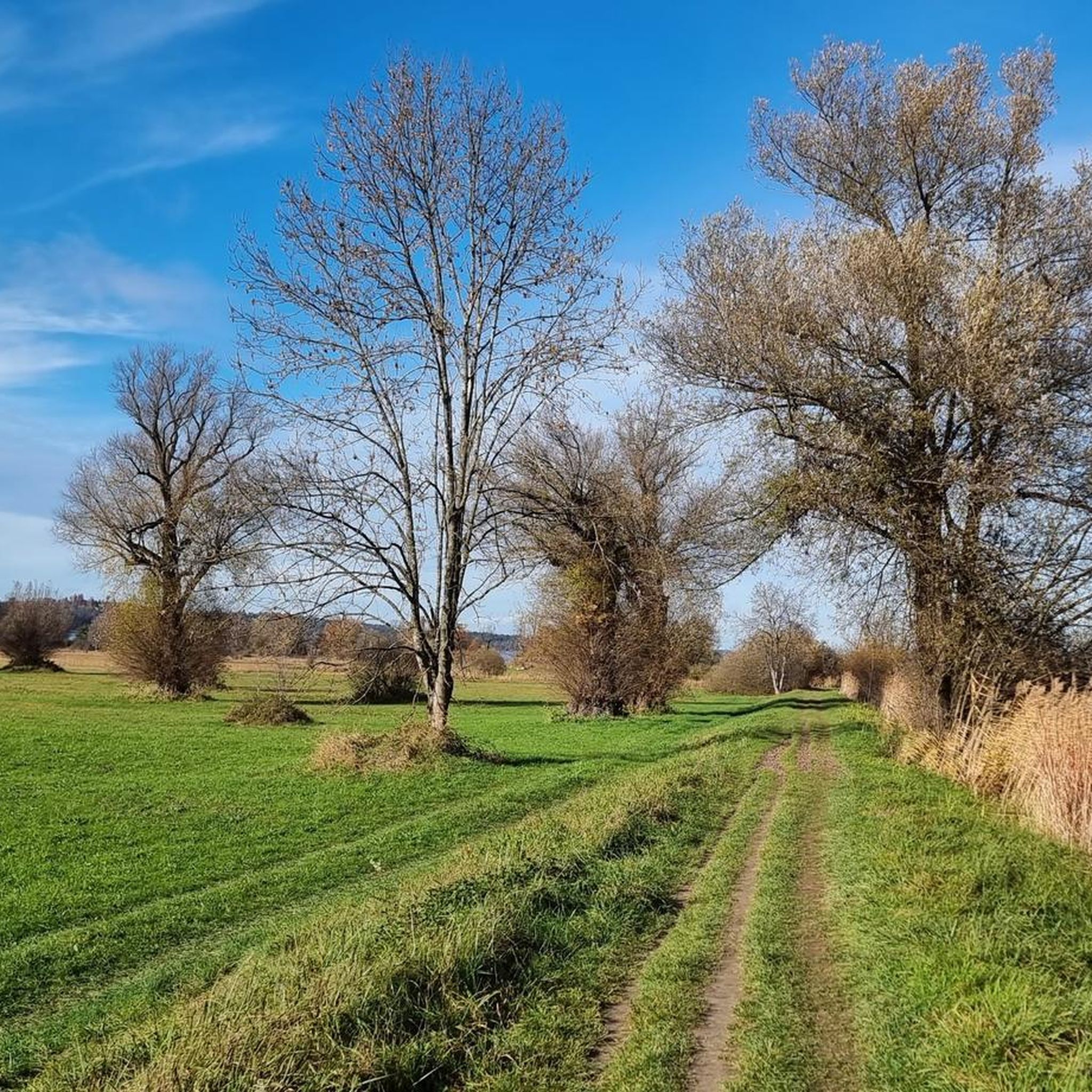
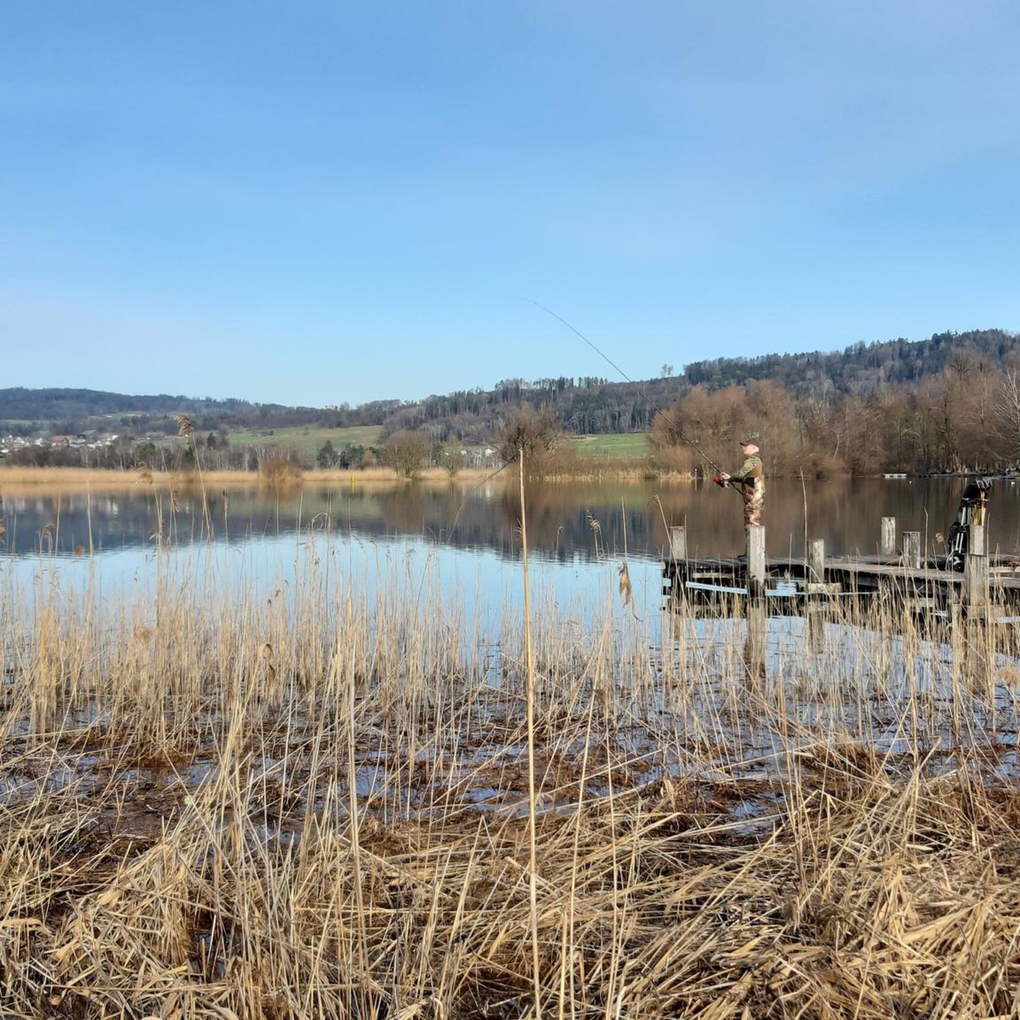
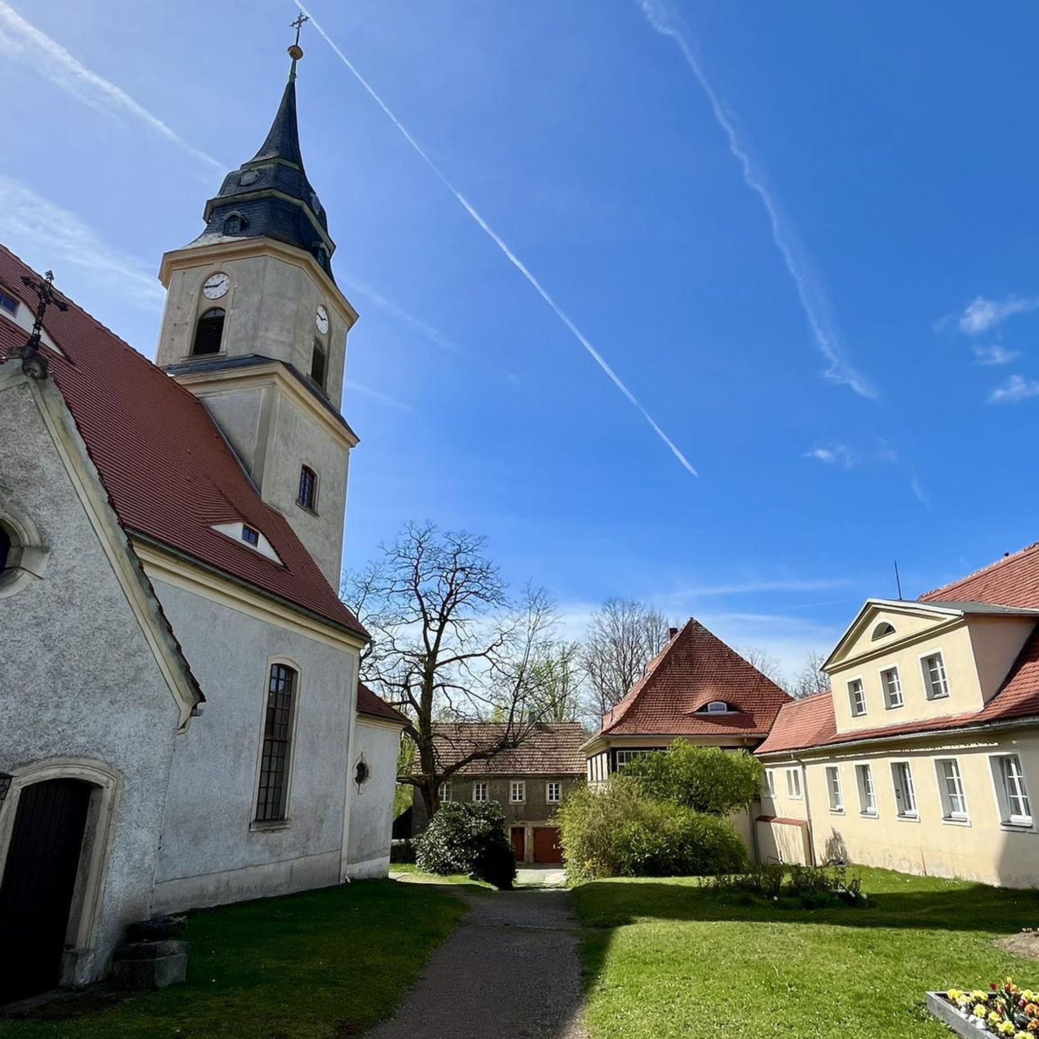
Other adventures around Wetzikon

Tips from the Community

The alpine hut was closed in the meantime (farmer / owner) - I don't know if it is now open again as a restaurant.
0
0
First/last opportunity before/after the Schnebelhorn for a refreshment or strengthening.
0
0

Mountain restaurant with wonderful views
1
0

The descent from Hörnli to Steg (ZH) is rewarded with views of the Fischenthal, the Glarus and Eastern Swiss Alps.
1
0
Beautiful view and refreshment in the restaurant at the same time. But the view from the nearby Schnebelhorn is even more beautiful.
0
0

Wonderful views, good food, many opportunities, paths and trails for bikers and hikers
0
1

Built in 1859 by the Centralbahn architect Ludwig Mahring. 1. Basel location, 2. Olten location, 3. Bauma location. Link: https://dvzo.ch/entdecken/historical-bahnhofshalle/
0
0

This beautiful, moderately difficult mountain hike starts at the Steg (ZH) train station parking lot (charges apply). The parking fee can only be paid via the SBB P+Rail app or if you have an SBB parking card. The so-called 'Top of Zurich' hike to the highest mountain in the canton of Zurich, the so-called Schnebelhorn with its 1292 meters, is probably the most popular hiking destination in the Tösstal. Beautiful mountain hiking trails lead from everywhere to the panoramic peak, which lies on the border of the cantons of Zurich and St. Gallen and is part of a five-kilometer-long mountain range that has its highest point in the south, the Tweralpspitz (1,332 m). The weather was on my side today, unlike yesterday's hike. This mountain hike is simply sensational, I can recommend it to everyone. In the lower area the paths are already normal hiking trails, and if you hike towards Tössscheidi, you follow the stream and repeatedly discover beautiful waterfalls, not big, but still very beautiful. In the upper area there are various barbecue areas where you can definitely take a break. When you arrive at the summit cross, you can still sign in the logbook. Sure-footedness is essential, as is good fitness. I would recommend hiking poles for those who feel confident. Highlights I felt: - Pure nature - Fantastic view of the Alps - Always beautiful waterfalls FYI: Moderately difficult mountain hike Difficulty level: T2 (mountain hiking) You can find more information about me at www.chrisontour.ch
0
0
Frequently Asked Questions
What kind of terrain can I expect on mountaineering routes around Wetzikon?
The mountaineering routes around Wetzikon, situated in the Zurich Highlands, primarily involve mountain hiking through a varied "mountainous landscape." You'll encounter forested mountains, such as Hüttchopf, and trails that range from easy (T1) to moderate (T2) on the SAC scale. T2 routes may include steeper sections and require good fitness and sure-footedness.
Are there any circular mountaineering routes in the Wetzikon area?
Yes, several routes are designed as loops, offering a complete experience. For example, you can explore the Mountaineering loop from Steg, which is a longer option, or the Hörnli loop from Steg for a moderate, scenic ascent. Another popular choice is the Mountaineering loop from Schnebelhorn, leading through the Tössbergland.
What are some notable landmarks or natural features I can see along these routes?
The region offers several interesting sights. You can reach the Bachtel Tower, a popular viewpoint offering great views. The Hörnli Summit is another prominent feature. Additionally, the Pfäffikersee lake, with its protected reed beds, is a significant natural attraction in the area, and you can find the Pfäffikersee Circular Trail nearby.
Are there any waterfalls to discover on the mountaineering trails near Wetzikon?
Yes, for those interested in waterfalls, the Sagenraintobel Waterfalls are a natural highlight in the vicinity of Wetzikon. While not directly on every mountaineering route, they are a worthwhile point of interest to explore in the region.
How long do the mountaineering routes typically take to complete?
The duration varies depending on the route and your pace. For instance, the Mountaineering loop from Steg is a longer trail, typically taking around 4 hours 50 minutes. Shorter options like the Mountaineering loop from Schnebelhorn can be completed in about 2 hours 21 minutes, while the Hörnli loop from Steg takes approximately 2 hours 36 minutes.
What is the best time of year for mountaineering in Wetzikon?
The Zurich Highlands offer beautiful conditions for mountain hiking throughout much of the year. While the region is not known for technical winter mountaineering, the trails are generally accessible in spring, summer, and autumn. When the Pfäffikersee lake freezes over in winter, it becomes popular for ice skating, but for hiking, warmer months are usually preferred.
Are there any family-friendly mountaineering options around Wetzikon?
The region's trails vary in difficulty, with many falling into the T1 (easy hiking) and T2 (mountain hiking) categories of the SAC scale. While specific routes are not explicitly labeled 'family-friendly' in the data, the presence of easier T1 trails and attractions like the quiet, child-friendly lido at Auslikon near Pfäffikersee suggests that some routes or sections could be suitable for families, especially those with some hiking experience.
What do other mountaineers say about the routes in Wetzikon?
The mountaineering routes in Wetzikon are highly regarded by the komoot community, holding an average rating of 4.2 stars from over 4 reviews. Many visitors appreciate the varied terrain, scenic views, and the extensive network of trails that cater to different ability levels.
How can I get to the trailheads using public transport?
Wetzikon is well-connected within the Zurich Highlands. Many trailheads, particularly those starting from towns like Steg or Bauma, are often accessible via public transport. It's advisable to check local transport schedules for specific starting points like Steg for the Mountaineering loop from Steg or Bauma for the Ascent to Chlihörnli – Hörnli Summit loop from Bauma.
Are there any less crowded mountaineering routes or areas to explore?
While specific 'less crowded' routes aren't highlighted, the region offers an extensive network of trails beyond the most popular ones. Exploring routes that might be slightly off the main paths, such as the Hagheerenloch Cave – Höchstock Settlement loop from Bauma, could offer a more tranquil experience. The Tössbergland, with its diverse trails, generally provides ample space for hikers.
What is the difficulty level of mountaineering routes in Wetzikon?
The mountaineering routes around Wetzikon are generally classified as moderate. They involve mountain hiking rather than technical climbing. According to the Swiss Alpine Club (SAC) scale, many routes fall into the T1 (easy hiking) and T2 (mountain hiking) categories. T2 routes may feature steeper sections and require a good level of fitness and sure-footedness.
Most popular routes around Wetzikon
Most popular attractions around Wetzikon

Get inspired with the komoot mobile app


Explore more
Browse the best Mountain Hikes & Routes in other regions.
