The best mountain hikes around Ilztal
17
hikers
1
hike
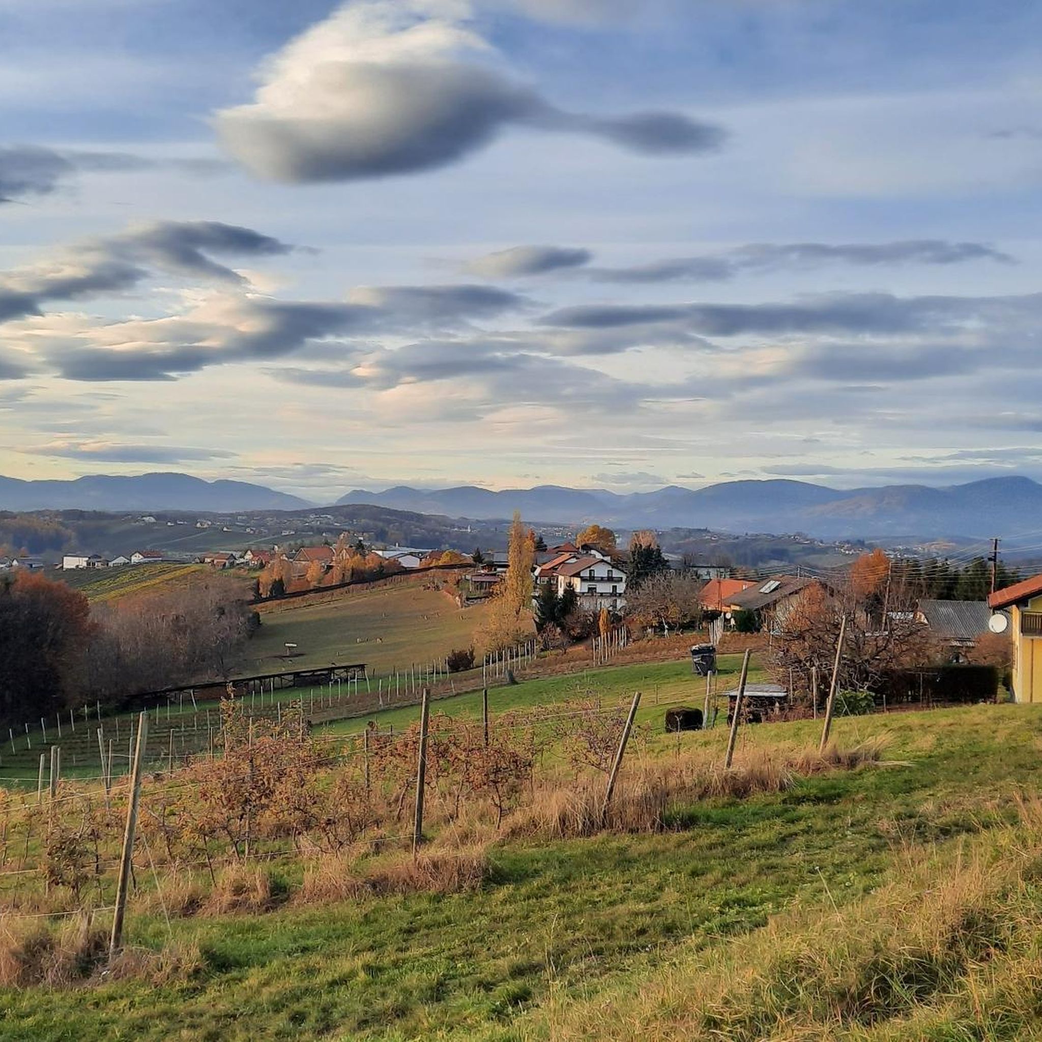
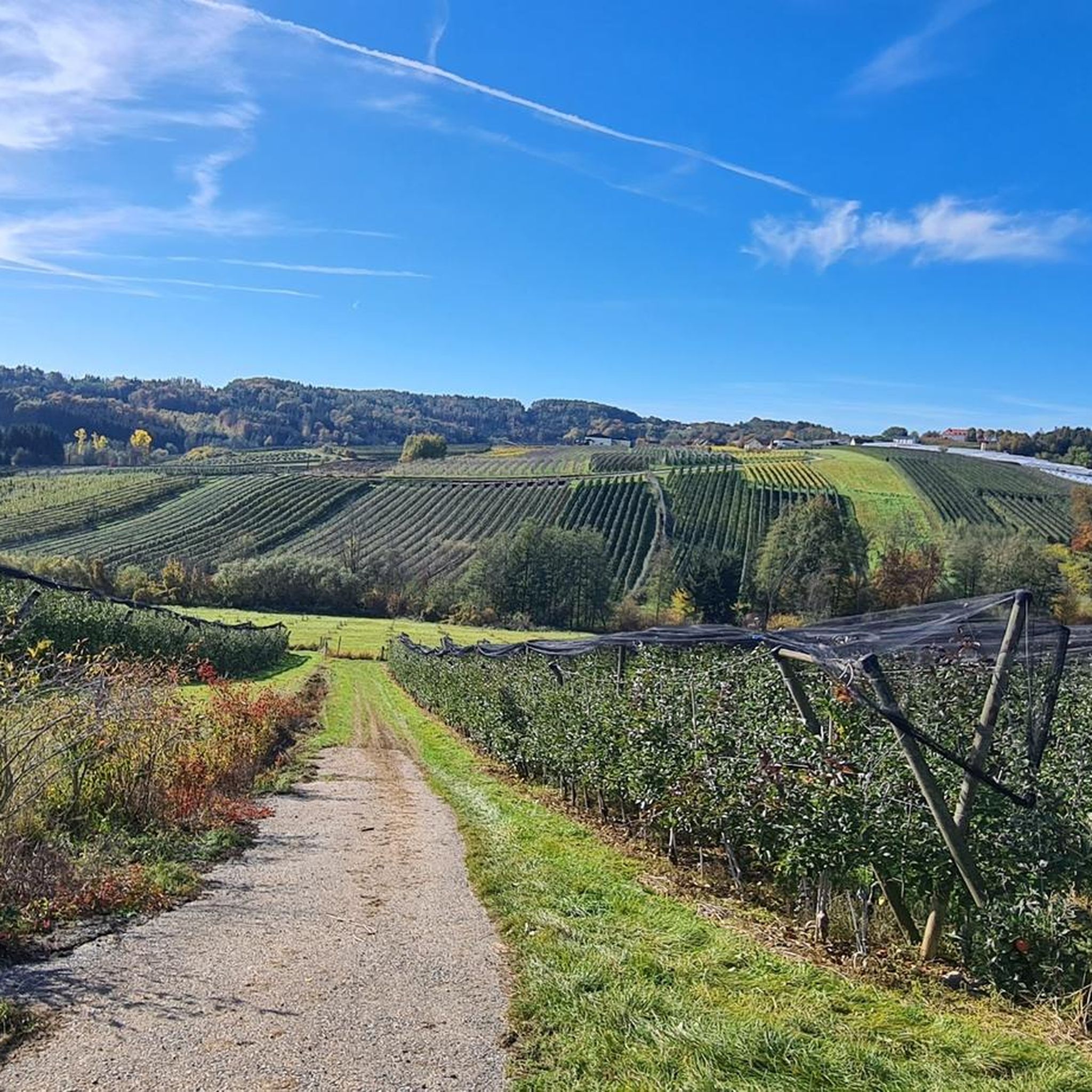
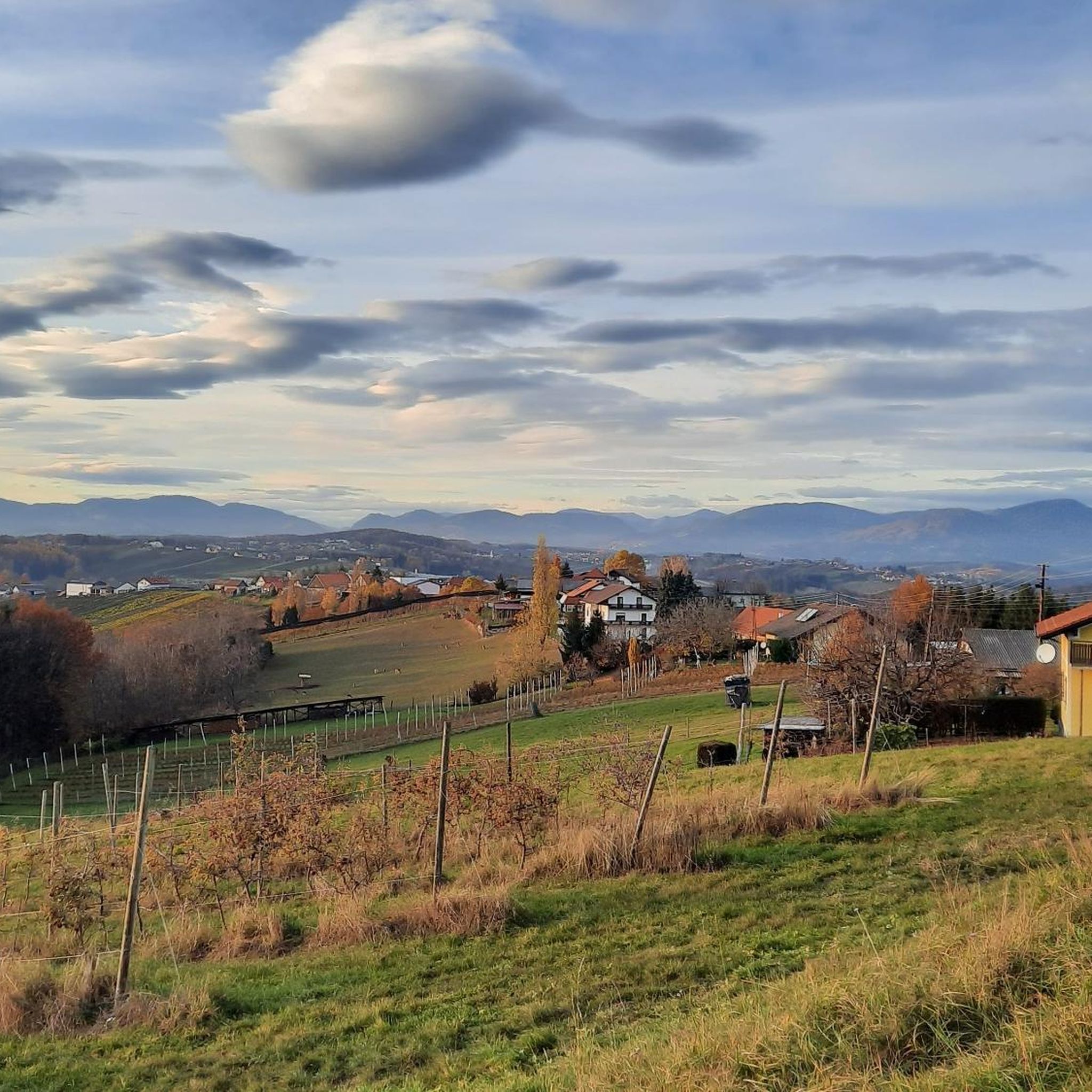
Mountaineering routes around Ilztal traverse a landscape characterized by diverse mountain terrain, including forested slopes, open ridges, and scenic valleys. The region offers varied elevation changes, providing opportunities for both sustained ascents and more gradual paths. This area is part of a broader mountainous environment, featuring the typical natural elements of an alpine foothills region.
Best mountaineering routes around Ilztal
- The most popular mountaineering route is Hoher Zetz Summit loop from Thannhausen, a 5.0 miles (8.1 km) trail that…
Last updated: July 6, 2026
11
hikers
8.03km
03:16
610m
610m
Moderate mountaineering route. Good fitness required. Mostly accessible paths. Sure-footedness required.
5
hikers
10.5km
03:16
320m
320m
Moderate mountaineering route. Good fitness required. Mostly accessible paths. Sure-footedness required.

Sign up for free
1
hikers
10.3km
04:26
780m
780m
Moderate mountaineering route. Good fitness required. Mostly accessible paths. Sure-footedness required.
Our route recommendations are based on thousands of hikes, rides, and runs completed by other people on komoot.
Start today with a free account
Your next adventure awaits.
Login or Signup

Tips from the Community

Before the cross crowning the summit of the 'Hoher Zetz' here, I would like to recall a fitting thought from Bishop Reinhold Stecher (*1921, + 2013). Martin Kolozs, in a podcast by ORF, paid tribute to the beloved pastor: „Above all, the mountains... he preferably chose them as a symbol of the often questioned, often burdened, but equally often confirmed relationship between man and God, which manifests itself wonderfully and healingly in experiences with nature. For Reinhold Stecher, who climbed all the peaks around Innsbruck and celebrated countless mountain masses, respect for and protection of God's creation were equivalent to divine worship, as he was rock-solidly convinced: »Many paths lead to God. One leads over the mountains.« (Source: https://oe1.orf.at/programm/20180202/503400/Martin-Kolozs-ueber-Reinhold-Stecher )
0
0

Worth a visit any time of year. Action in summer. Peace and quiet in winter, romance in autumn. Awakening in spring. We always love coming back here.
1
0

a large, paid parking lot
0
0

After a tiring journey you can eat well here!
0
0

Beautiful warm bathing lake, a great way to cool off on the tour
4
0
Beautiful view of the lake, good coffee, huge breakfast buffet, friendly staff
5
0

Highly recommended
0
0
Restaurant Gruber am See is highly recommended
0
0
Frequently Asked Questions
What kind of terrain can I expect on mountaineering routes in Ilztal?
Mountaineering routes around Ilztal feature a varied landscape, including forested slopes, open ridges, and scenic valleys. You'll find diverse elevation changes, offering both sustained ascents and more gradual paths within an alpine foothills environment.
Are there any circular mountaineering routes in Ilztal?
Yes, Ilztal offers several appealing circular routes. For instance, you can explore the Hoher Zetz Summit loop from Thannhausen, which provides a scenic ascent to the summit. Another option is the Lake Stubenberg – Lake Stubenberg loop from Stubenberg, featuring varied terrain around the lake, or the Hoher Zetz Summit loop from Anger, leading through diverse mountain landscapes.
What are some interesting natural attractions or landmarks I can see near the mountaineering routes in Ilztal?
The Ilztal region is rich in natural beauty and points of interest. You might enjoy visiting the dramatic Feistritzklamm Gorge or the serene Lake Stubenberg. For panoramic views, consider the Kleeberg Observation Tower or the Kulm Summit. There's also the historic Maria Fieberbründl Pilgrimage Site for those interested in cultural landmarks.
Are there any viewpoints along the mountaineering trails in Ilztal?
Yes, several routes offer excellent viewpoints. The Hoher Zetz Summit loop from Thannhausen, for example, is known for its panoramic views from the summit. Additionally, the Kleeberg Observation Tower is a dedicated highlight offering expansive vistas of the surrounding landscape.
What is the general difficulty level of mountaineering routes in Ilztal?
The mountaineering routes in Ilztal are generally considered moderate. They offer a good balance of challenge and accessibility, suitable for those with some hiking experience looking for sustained ascents and varied terrain.
How long do mountaineering routes in Ilztal typically take to complete?
The duration of routes varies, but you can expect tours to range from approximately 3 to 4.5 hours. For instance, the Hoher Zetz Summit loop from Thannhausen typically takes around 3 hours 16 minutes, while the Hoher Zetz Summit loop from Anger is often completed in about 4 hours 24 minutes.
Are there any places to rest or get refreshments along the mountaineering routes?
While specific cafes directly on every trail are not listed, the region is known for its hospitality. You might find inns or huts like the Wittgruberhof Inn in the broader Ilztal area, which can serve as a place for rest and refreshment.
What do other mountaineers enjoy most about the routes in Ilztal?
Mountaineers who have explored Ilztal often praise the region's varied terrain, which includes a mix of forested slopes, open ridges, and scenic valleys. The routes are appreciated for offering a good balance of moderate challenge and beautiful natural surroundings.
Are there any specific summits or peaks I can reach on a mountaineering tour in Ilztal?
Yes, you can reach several notable points. The Hoher Zetz Summit loop from Thannhausen and the Hoher Zetz Summit loop from Anger both lead to the Hoher Zetz Summit. Other prominent points in the area include the Kulm Summit and the Raas Summit Cross.
What is the typical elevation gain on mountaineering routes in Ilztal?
The elevation gain on mountaineering routes in Ilztal varies depending on the specific tour. For example, the Hoher Zetz Summit loop from Thannhausen involves an ascent of over 620 meters, while the Hoher Zetz Summit loop from Anger features a more significant climb of over 775 meters.
Are there any routes that feature lakes or water bodies in Ilztal?
Yes, the Lake Stubenberg – Lake Stubenberg loop from Stubenberg is a mountaineering route that specifically features the beautiful Lake Stubenberg, combining forested sections with open views around the water.
Most popular attractions around Ilztal

Get inspired with the komoot mobile app


Explore more
Browse the best Mountain Hikes & Routes in other regions.
