The best waterfall hikes and walks in Sarine District
4.6
(3542)
28,823
hikers
42
hikes
Waterfall hiking trails in Sarine District traverse a landscape characterized by rolling hills, river valleys, and dense woodlands. The region's topography often features natural watercourses, leading to numerous cascades and waterfalls. These trails typically follow riverbeds or ascend gentle slopes, offering varied terrain for hikers. The area provides a natural setting for exploring the interplay of water and geology.
Best waterfall hiking trails in Sarine District
- The most popular waterfall hiking route is View from Chrüezflue – Ärgera Riverbed loop…
Last updated: July 9, 2026
4.9
(7)
55
hikers
9.89km
03:11
410m
410m
Hard hike. Good fitness required. Sure-footedness, sturdy shoes and alpine experience required.
4.6
(5)
25
hikers
11.0km
03:04
220m
220m
Moderate hike. Good fitness required. Easily-accessible paths. Suitable for all skill levels.

Sign up for free
5.0
(2)
30
hikers
4.58km
01:17
90m
90m
Easy hike. Great for any fitness level. Easily-accessible paths. Suitable for all skill levels.
4.0
(1)
21
hikers
16.2km
05:04
600m
600m
Hard hike. Very good fitness required. Easily-accessible paths. Suitable for all skill levels.
3.0
(1)
7
hikers
Hard hike. Very good fitness required. Easily-accessible paths. Suitable for all skill levels.
Get access to more routes and recommendations from other explorers.
Sign up for free
Already have an account?
Our route recommendations are based on thousands of hikes, rides, and runs completed by other people on komoot.
Start today with a free account
Your next adventure awaits.
Login or Signup
Popular around Sarine District
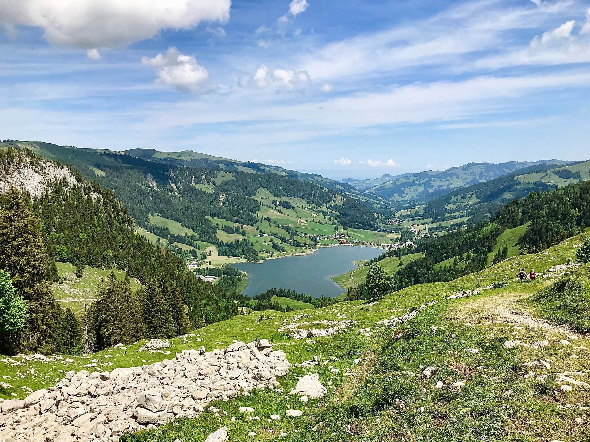
Freiburg Pre-Alpine Trail – Hiking along the language border

Via Jacobi – Following the Way of St James across Switzerland
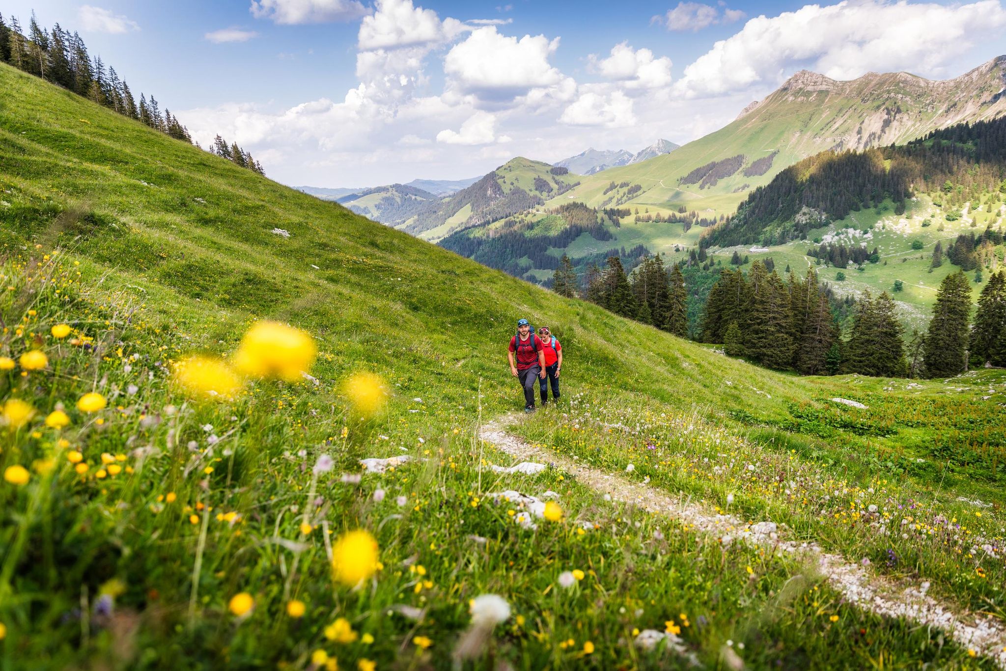
Your summer hikes in the Fribourg Region
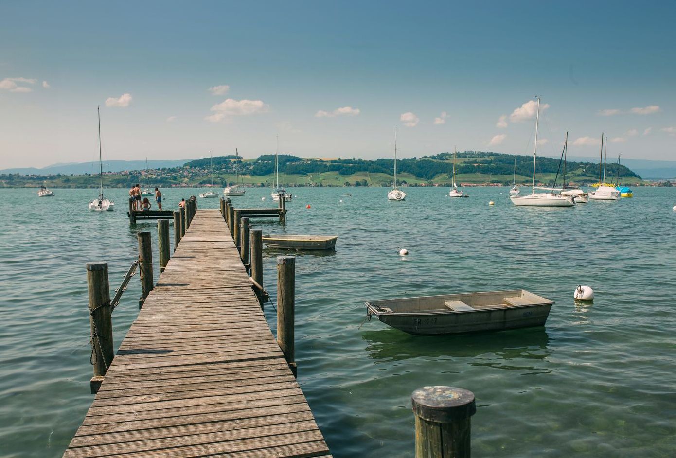
Discover water’s brilliant diversity – hiking in the canton of Fribourg
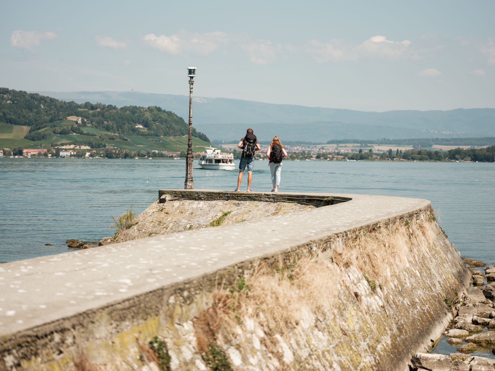
"Fribourg en diagonale" - Once across the Canton Fribourg
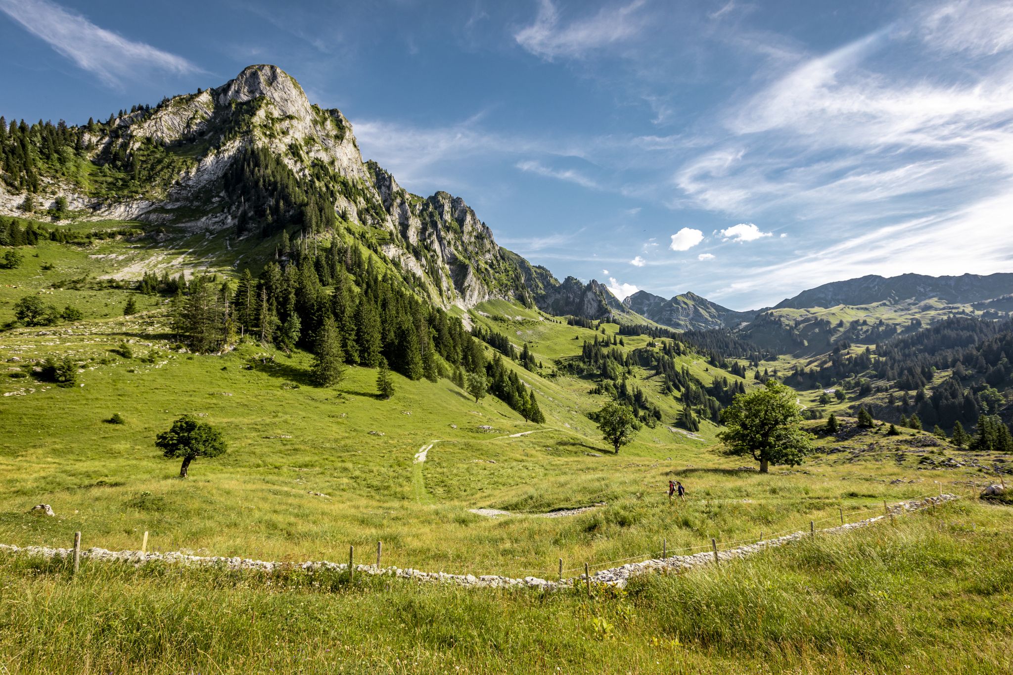
Over Stock and Stone - Freiburg Pre-Alps Trail
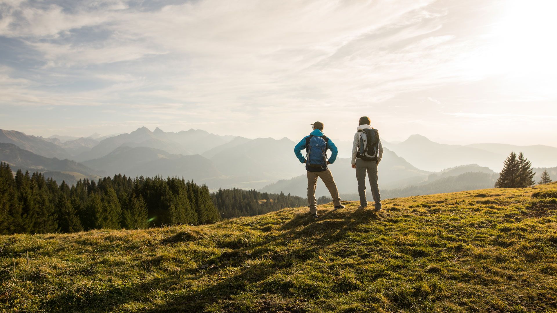
Top hikes - Summer hiking in the canton of Fribourg
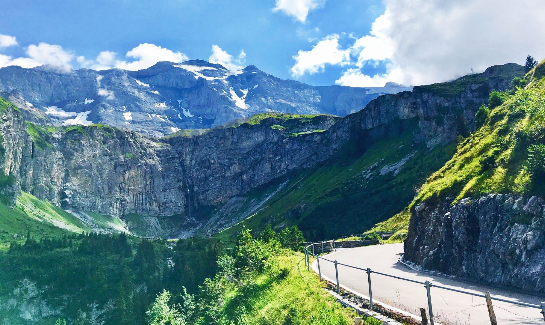
Alpine Panorama Route — 8 stages through the foothills of the Alps

Every cycling trip is a little holiday – bike to work Challenge 2026
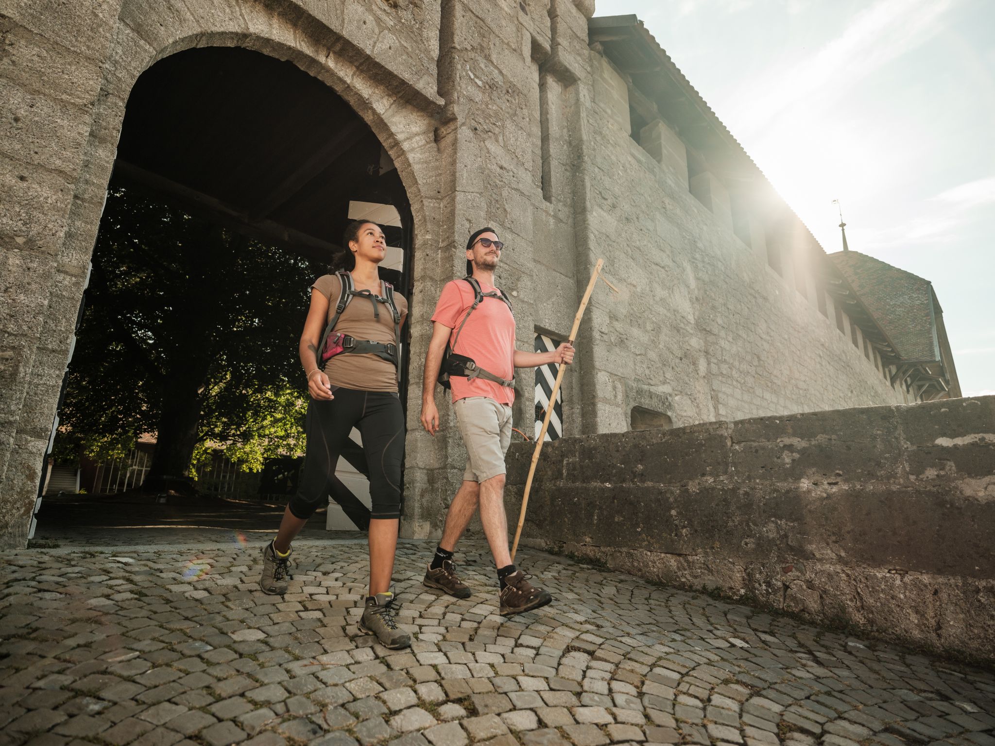
Jakobsweg im Kanton Freiburg - Wandern auf historischen Pfaden
Other adventures in Sarine District


Tips from the Community

The Buvette offers a nice terrace with a good view over the hills. It is the right place for the biker break.
0
0

Great spot but way too crowded....
0
0


Now just look at this fellow. It's actually just a moldy tree stump on the side of the road that guards the entrance and exit to the Galtern Gorge. From a distance it looks like a mixture of a vulture and a lizard. But if you have an abundance of imagination, you might see it as another mythical creature. 🦄 We'd rather not run into it at night. But during the day it's completely harmless. At least that's what we think.
0
0

Chrüezflue is a peak in the Swiss Alps, with an altitude of 1,602 meters. It offers stunning views of the surrounding valleys and hills, as well as the nearby Schwarzsee Lake. One of the best ways to appreciate the Chrüezflue is to hike the loop trail from Plasselb, a small village in the canton of Fribourg.
2
0

The ladder is located high up on the unofficial hiking trail from Gross Schwand to Chrüzflue. The path up through the forest is clearly visible and slowly winds its way up rocky steps to the ridge. About 500 meters further west is the official climb towards Chrüzflue. Parallel to this rise.
6
0
The alpine hut on the Grosser Schwyberg is just a few minutes away from the main summit (1,645 meters) of the Schwyberg. On a hike starting in Zollhaus over the Schwyberg ridge to Schwarzsee, you have climbed the most meters here and deserve a break. You reach the alp on the way up after the Gurli mountain restaurant. From Gurli it is about 30 minutes on a beautiful hiking trail. In addition to eating and drinking, you can also spend the night on the Gross Schwyberg alp. The alpine hut can also be reached by car, via Liechtena (turn-off between Zollhaus and Schwarzsee). There are also occasional events, which can be read about on the homepage: http://www.grosserschwyberg.ch/mobile/.
4
0

Beautiful trail over the heights of the Friborg Pre-Alps
0
0
Frequently Asked Questions
How many waterfall hiking trails are there in Sarine District?
Sarine District offers a diverse network of over 40 waterfall hiking trails. These routes traverse varied terrain, from gentle river valleys to more challenging slopes, providing options for all skill levels.
Are there family-friendly waterfall hikes in Sarine District?
Yes, Sarine District has several family-friendly options. An excellent choice is the Ärgera Riverbed – Grotto of St. Silvester loop from Plasselb, which is an easy 4.6 km trail that takes about 1 hour 17 minutes to complete, perfect for a leisurely outing with children.
Where can I find more challenging waterfall hikes in Sarine District?
For experienced hikers seeking a challenge, the View from Chrüezflue – Ärgera Riverbed loop from Plasselb is a difficult 9.9 km trail that takes approximately 3 hours 11 minutes. Another demanding option is the Duvette Crau Rapp – View from Chrüezflue loop from Plasselb, a difficult 16.2 km route.
Can I bring my dog on waterfall hikes in Sarine District?
Many trails in Sarine District are dog-friendly, but it's always advisable to check specific route details on komoot for any restrictions or requirements. Generally, dogs should be kept on a leash, especially near wildlife or other hikers.
When is the best time of year to experience the waterfalls in Sarine District?
The waterfalls in Sarine District are particularly impressive during spring when snowmelt increases water flow, and after periods of heavy rain. Summer offers lush greenery, while autumn provides beautiful fall foliage around the cascades. Winter can offer unique frozen waterfall views, though some trails might be less accessible.
Are there circular waterfall hiking routes available?
Yes, many of the waterfall trails in Sarine District are designed as circular routes, allowing you to start and end at the same point. Examples include the Ratzekahl, the Gorge Monster loop from Tafers and the Ärgera Riverbed – View from Chrüezflue loop from Plasselb.
What can I see along the waterfall hiking trails besides the waterfalls?
Beyond the waterfalls, you can explore various natural and man-made attractions. Nearby highlights include the Greyerzersee Dam and the View of Lac de Pérolles and the Saane Gorge. You might also encounter historical structures like the Grandfey Viaduct or the St. Nicholas Cathedral (Fribourg) in the wider region.
What is the typical duration of waterfall hikes in Sarine District?
The duration of waterfall hikes varies significantly. Easy trails, like the Ärgera Riverbed – Grotto of St. Silvester loop, can be completed in just over an hour, while more difficult and longer routes, such as the Duvette Crau Rapp – View from Chrüezflue loop, can take over 5 hours.
What do other hikers enjoy most about hiking in Sarine District?
The area is highly rated by the komoot community, with an average score of 4.6 stars from over 700 reviews. Hikers often praise the diverse landscape, the interplay of water and geology, and the well-maintained trails that offer both serene river valleys and scenic viewpoints.
Are there any less-known waterfall trails worth exploring in Sarine District?
While specific 'hidden gems' are often discovered by individual exploration, many trails in Sarine District offer a sense of tranquility away from the most popular spots. Exploring routes that follow smaller tributaries or less frequented sections of the Ärgera Riverbed can lead to delightful discoveries.
Can I reach waterfall trails in Sarine District by public transport?
Accessibility by public transport varies by trailhead. Some starting points, especially those near larger towns like Tafers or Plasselb, may be reachable by bus. It's recommended to check local public transport schedules and route access points when planning your hike.
Most popular routes in Sarine District
Most popular attractions in Sarine District

Get inspired with the komoot mobile app


Explore more
Browse the best Hikes in other regions.
