The best mountain hikes in Bucheggberg
5.0
(16)
82
hikers
14
hikes
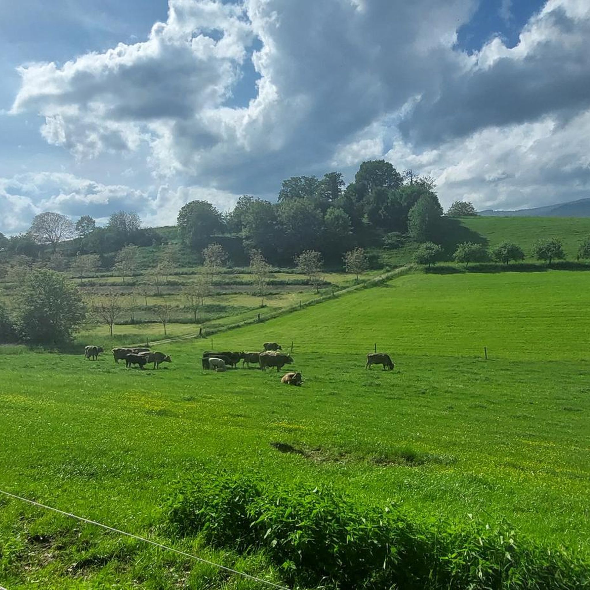
Mountaineering in Bucheggberg offers challenging routes through diverse landscapes characterized by significant elevation changes, forests, and open fields. The region features varied terrain with notable natural features and historical landmarks. While not a high-alpine environment, the routes demand good fitness and provide substantial ascents and descents. These paths often lead to panoramic viewpoints and through valleys shaped by agriculture.
Best mountaineering routes in Bucheggberg
- The most popular mountaineering route is Herrenloch Cave – View from Balmfluehchöpfli loop from Rüttenen,…
Last updated: July 8, 2026
5.0
(3)
23
hikers
7.79km
03:44
650m
650m
Hard mountaineering route. Good fitness required. Sure-footedness, sturdy shoes and alpine experience required.
5.0
(2)
9
hikers
4.62km
03:03
540m
540m
Hard mountaineering route. Good fitness required. Sure-footedness, sturdy shoes and alpine experience required.

Sign up for free
7
hikers
7.52km
03:49
630m
620m
Hard mountaineering route. Good fitness required. Sure-footedness, sturdy shoes and alpine experience required.
5.0
(1)
8
hikers
7.60km
02:40
350m
350m
Moderate mountaineering route. Good fitness required. Mostly accessible paths. Sure-footedness required.
5.0
(2)
4
hikers
14.1km
06:04
900m
900m
Hard mountaineering route. Very good fitness required. Sure-footedness, sturdy shoes and alpine experience required.
5.0
(1)
6
hikers
6.17km
03:55
710m
710m
Hard mountaineering route. Good fitness required. Sure-footedness, sturdy shoes and alpine experience required.
6
hikers
7.27km
03:25
620m
610m
Hard mountaineering route. Good fitness required. Sure-footedness, sturdy shoes and alpine experience required.
5.0
(3)
5
hikers
14.9km
06:01
890m
890m
Hard mountaineering route. Very good fitness required. Mostly accessible paths. Sure-footedness required.
3
hikers
12.5km
04:49
770m
770m
Hard mountaineering route. Good fitness required. Sure-footedness, sturdy shoes and alpine experience required.
5.0
(1)
4
hikers
12.5km
04:44
760m
760m
Hard mountaineering route. Good fitness required. Sure-footedness, sturdy shoes and alpine experience required.
Get access to more routes and recommendations from other explorers.
Sign up for free
Already have an account?
Our route recommendations are based on thousands of hikes, rides, and runs completed by other people on komoot.
Start today with a free account
Your next adventure awaits.
Login or Signup
Popular around Bucheggberg



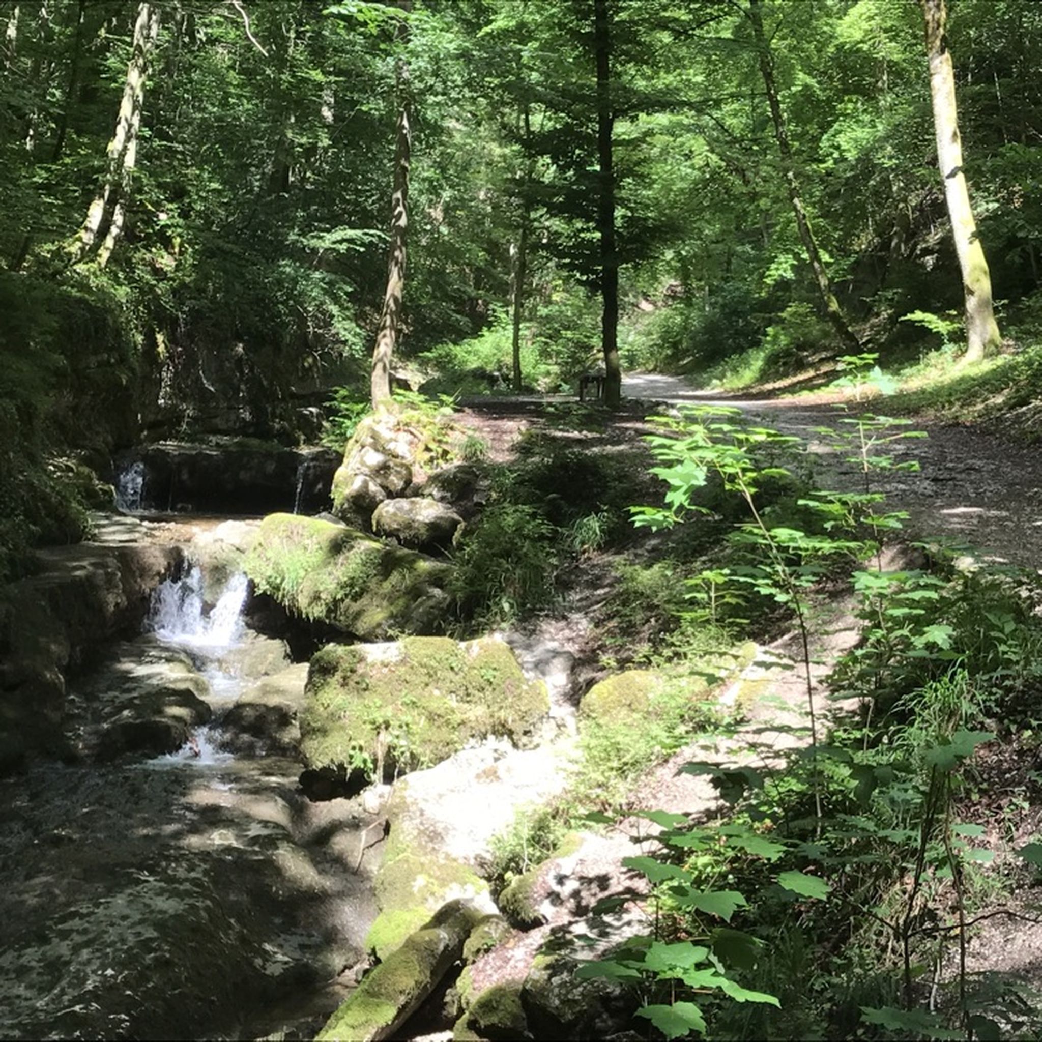
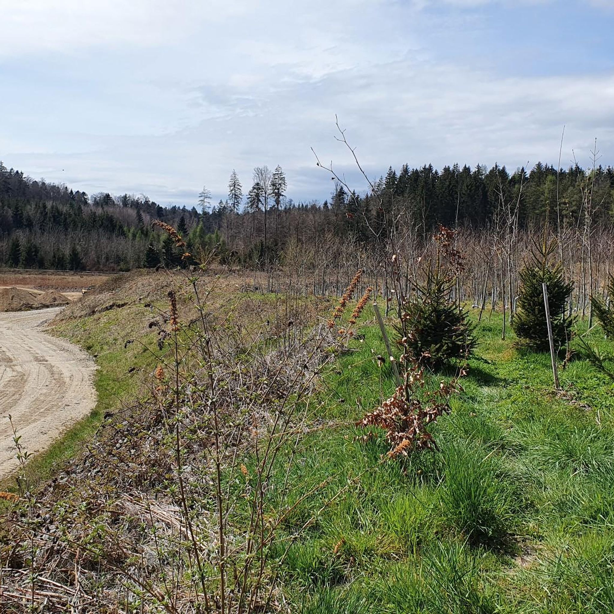
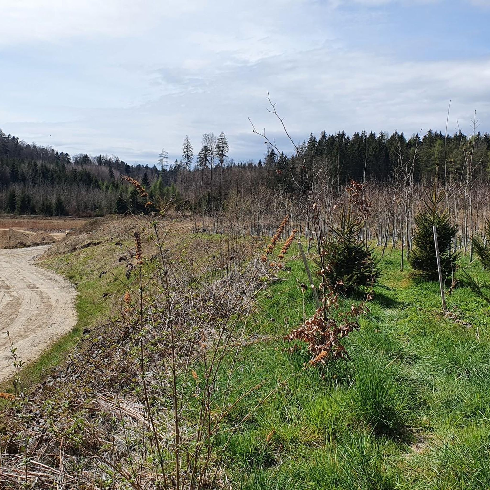
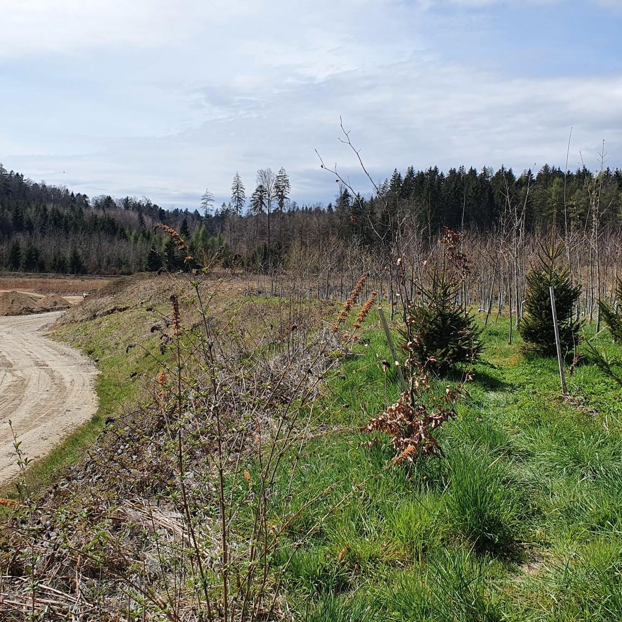

Tips from the Community

pretty here, very pretty
1
0

The Herrenloch is a cave with two entrances - a kind of tunnel - below the Balmfluechöpfli. It can be reached by trails both from the west ridge of the Balmfluechöpfli and as the end of the Hornpfad. The exit on the east side is reserved for the very experienced only; there has also been a fatal fall here. From the western entrance of the Herrenloch, you can also climb directly to the summit of the Balmfluechöpfli via trails.
0
0

wonderful and very beautiful area here
2
0
wonderful and very beautiful area here
3
0
wonderful and very beautiful area here
3
0
wonderful and very beautiful area here
2
0
wonderful and very beautiful area here
3
0
Frequently Asked Questions
What is the typical difficulty level of mountaineering routes in Bucheggberg?
The mountaineering routes in Bucheggberg are primarily challenging, with 13 out of 15 routes rated as difficult. They feature significant elevation changes and varied terrain, demanding good fitness and alpine experience. For example, the Herrenloch Cave – View from Balmfluehchöpfli loop from Rüttenen covers 4.7 miles with over 600 meters of elevation gain.
Are there any less strenuous options for those new to mountaineering in Bucheggberg?
While most routes are difficult, there are a couple of moderate options available for those looking for a slightly less strenuous experience. These routes still offer the diverse landscapes of Bucheggberg but with a more manageable challenge.
What kind of landscapes and natural features can I expect to see on these routes?
Bucheggberg is known for its diverse landscapes, including rural charm, fields, and forests. You'll encounter varied terrain with significant 'ups and downs.' Many routes offer panoramic views, especially from points like Balmfluehchöpfli, and traverse through valleys such as the Bibern Valley, where agriculture shapes the scenery.
Are there any historical or natural landmarks to explore along the mountaineering routes?
Yes, the region is rich in historical and natural landmarks. You can explore the Steigrüebli, Schnottwil cave or the Erratic Boulder of Hessigkofen. Additionally, the View from Balmfluehchöpfli – Herrenloch Cave loop from Balm b. Günsberg passes by the Herrenloch Cave, and you might catch views of Buchegg Castle from certain vantage points, which offers beautiful views of the Alpine chain.
Are there any circular mountaineering routes in Bucheggberg?
Many of the mountaineering routes in Bucheggberg are designed as loops, offering a varied experience without retracing your steps. For instance, the View from Balmfluehchöpfli – Herrenloch Cave loop from Rüttenen is a popular circular trail through forested slopes.
What is the best time of year to go mountaineering in Bucheggberg?
The diverse terrain of Bucheggberg makes it enjoyable across multiple seasons. While specific winter conditions can vary, generally, spring through autumn offers the most favorable weather for tackling these challenging routes. Always check local weather forecasts before heading out.
What do other mountaineers say about the routes in Bucheggberg?
The routes in Bucheggberg are highly rated by the komoot community, with an average score of 5.0 stars from over 10 reviews. Mountaineers often praise the challenging ascents, the varied forest terrain, and the rewarding panoramic views, particularly from spots like Balmfluehchöpfli.
How long do the mountaineering routes typically take to complete?
The duration of routes varies depending on their length and elevation gain. For example, the Gitziflue Viewpoint – Hasenmatt Summit Cross loop from Oberdorf SO is one of the longer options, spanning nearly 14 km and taking around 6 hours. Shorter, difficult routes like the View from Balmfluehchöpfli – Röti Summit (1,395 m) loop from Balm b. Günsberg can be completed in about 2 hours 45 minutes.
Are there any specific viewpoints or summits worth seeking out?
Absolutely. Many routes are designed to lead to spectacular viewpoints. The View from Balmfluehchöpfli – Mättu Wändli Climbing Path loop from Rüttenen offers stunning vistas from Balmfluehchöpfli. The View from Balmfluehchöpfli – Röti Summit (1,395 m) loop from Rüttenen also includes the Röti Summit, providing expansive panoramic views.
What kind of elevation changes should I expect on these routes?
Mountaineering in Bucheggberg is characterized by significant elevation changes. Many difficult routes feature over 600 meters (2,000 feet) of ascent and descent. For instance, the Herrenloch Cave – View from Balmfluehchöpfli loop from Balm b. Günsberg involves over 600 meters of elevation gain, making for a demanding workout.
Are there any routes that pass through interesting gorges or natural formations?
Yes, some routes offer unique natural formations. The Chessel Gorge – View from Balmfluehchöpfli loop from Rüttenen, for example, takes you through the Chessel Gorge, adding another layer of natural beauty to your mountaineering experience.
Is there a route that covers a significant distance and elevation for experienced mountaineers?
For experienced mountaineers seeking a longer and more challenging journey, the Küferweg Trail (T3) loop from Bezirk Lebern is an excellent option. It spans over 12 kilometers and includes more than 760 meters of elevation gain, offering a substantial and rewarding experience.
Most popular routes in Bucheggberg
Most popular attractions in Bucheggberg

Get inspired with the komoot mobile app


Didn’t find what you were looking for?
Check out more Mountain Hikes & Routes throughout Bucheggberg below and find the perfect route in your destination.
Explore more
Browse the best Mountain Hikes & Routes in other regions.
