The best mountain hikes around Perrefitte
9
hikers
1
hike
Mountaineering routes Perrefitte are situated in a region characterized by rugged relief and deep gorges, often compared to Norman Switzerland. The landscape is shaped by the River Orne and its tributaries, carving through the terrain and creating varied environments. Prominent natural rock formations, such as the Rock of Oëtre, contribute to the area's challenging and diverse mountaineering appeal. The highest point, Mont Pinçon, at 362 meters (1,188 ft), offers opportunities for challenging ascents and scenic views.
Best mountaineering routes around…
Last updated: June 24, 2026
6
hikers
10.3km
03:44
580m
580m
Moderate mountaineering route. Good fitness required. Mostly accessible paths. Sure-footedness required.
3
hikers
12.5km
04:49
770m
770m
Hard mountaineering route. Good fitness required. Sure-footedness, sturdy shoes and alpine experience required.
Our route recommendations are based on thousands of hikes, rides, and runs completed by other people on komoot.
Start today with a free account
Your next adventure awaits.
Login or Signup
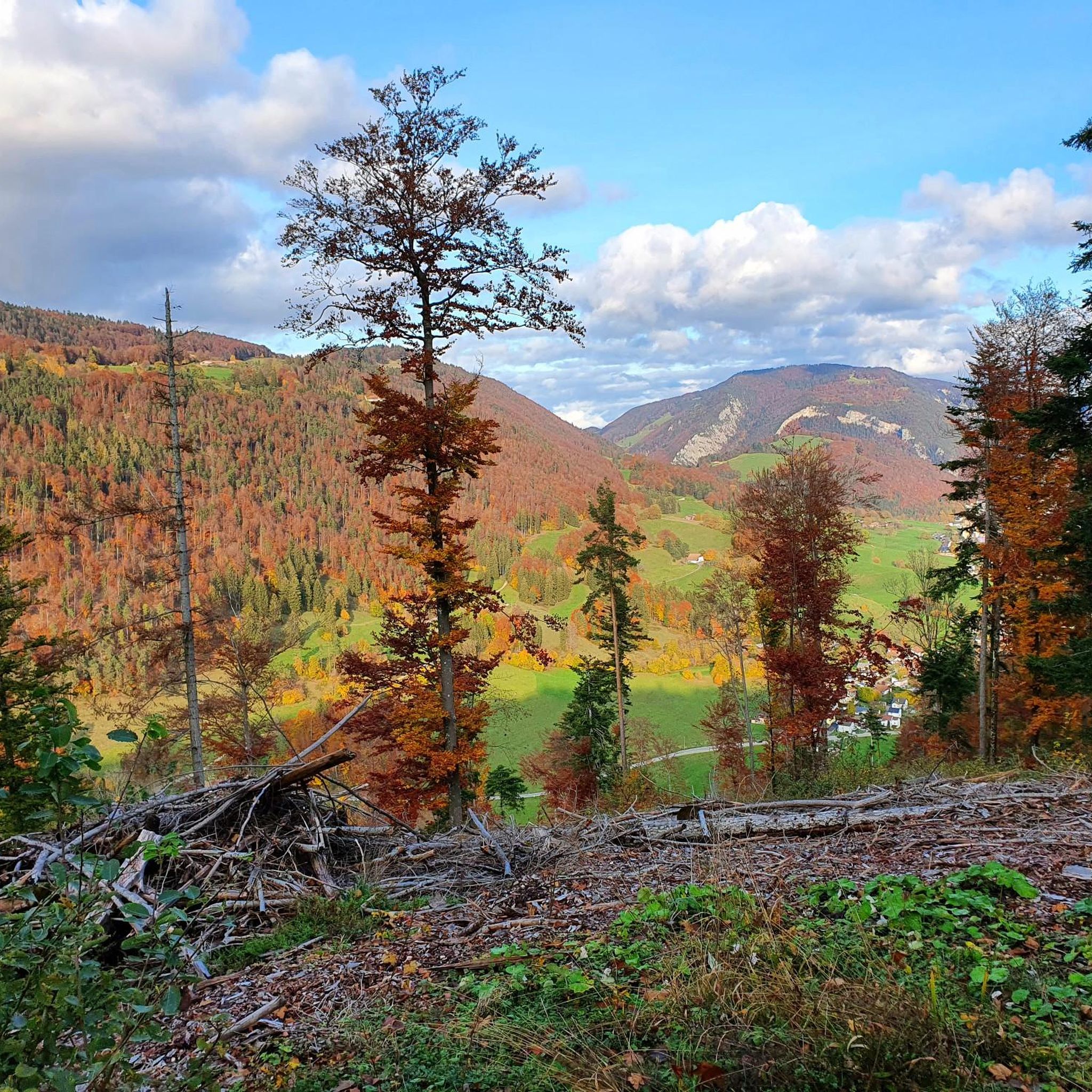
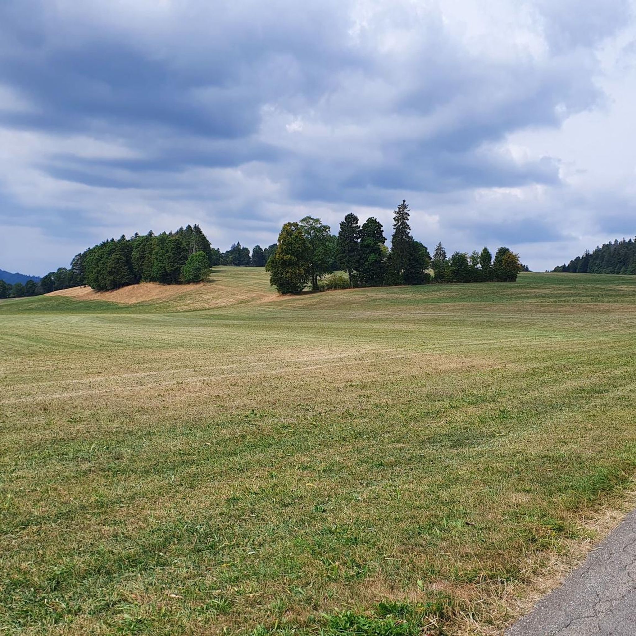
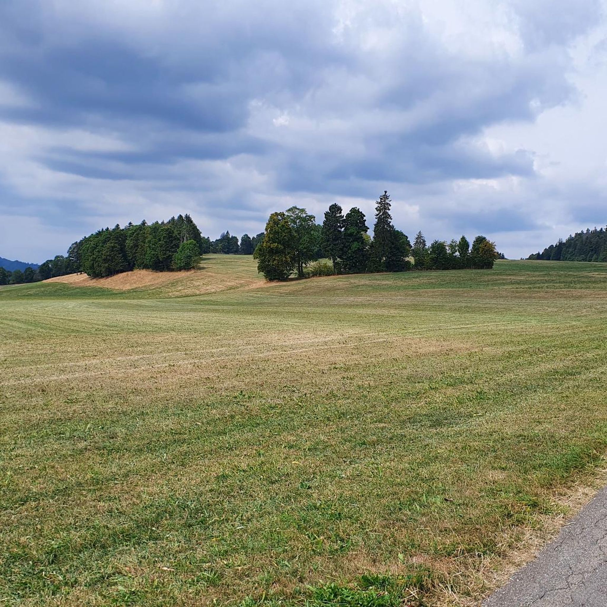
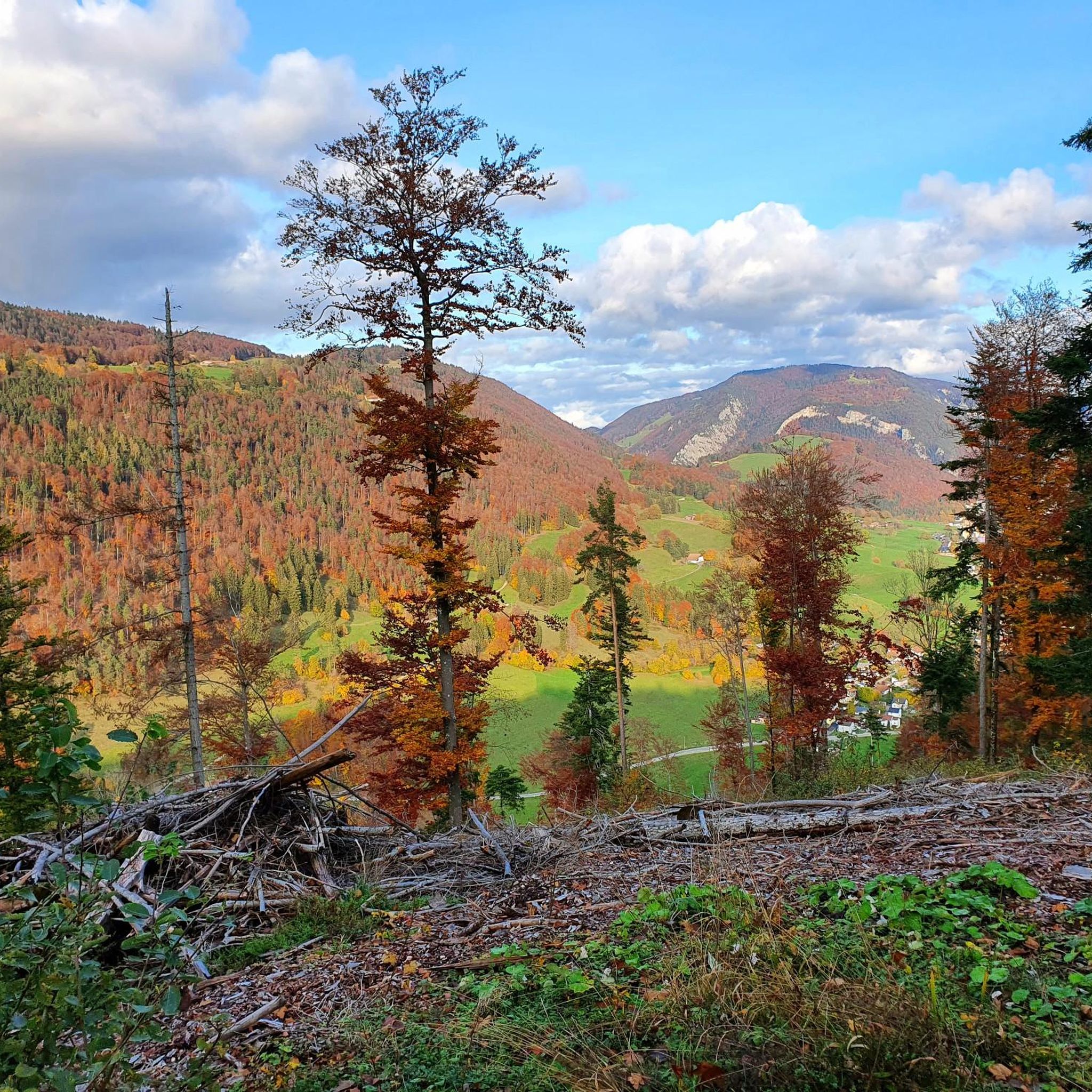
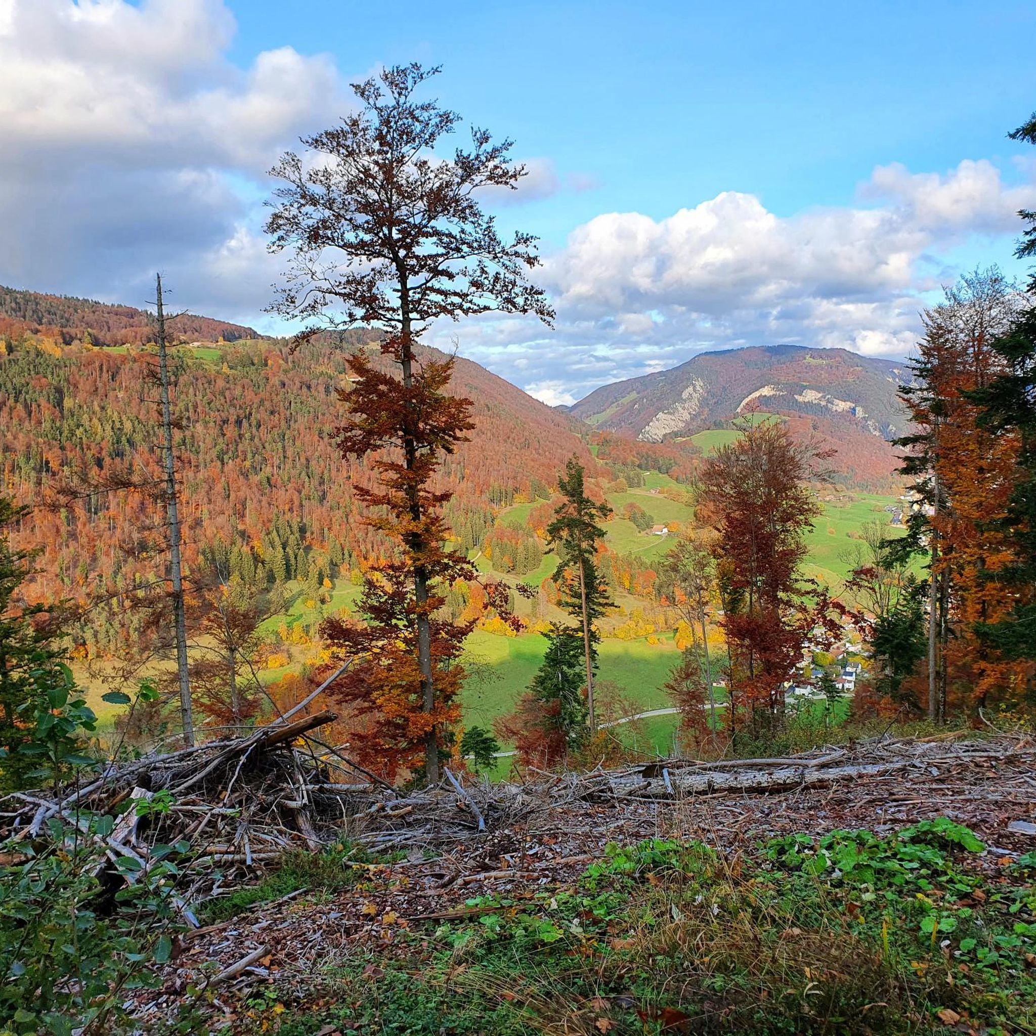
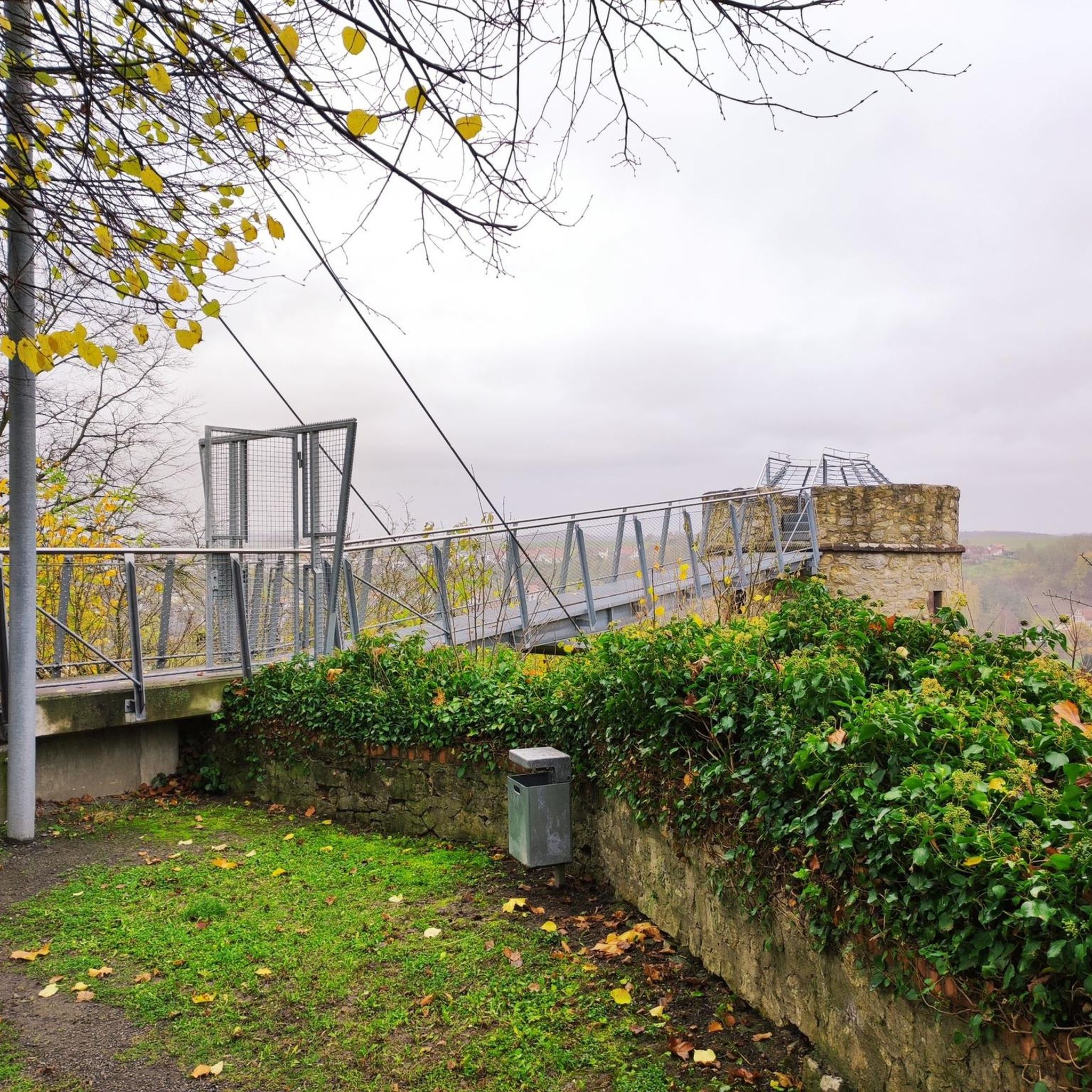
Tips from the Community

Magnificent views. You can visit this place again and again.
0
0
A beautiful, easy hike in the Jura Mountains with lovely views.
0
0
Top view of the Wandflue, the Jura Mountains, Lake Biel-Neuchâtel, and the Bernese Midlands.
0
0

The ridge path is simply unique. Many people travel to America, but the beauty is so close…
0
0

Dogs must be on leash for the beginning of the walk because it's a wildlife park
0
0


One of my favorite places! Great view.
1
0

Ruins of Grenchen Castle with barbecue area and panoramic views over the Mittelland.
0
0
Frequently Asked Questions
How many mountaineering routes are available around Perrefitte?
There are several mountaineering routes around Perrefitte, offering diverse experiences. This guide highlights three top-rated options, but the region, often compared to Norman Switzerland, features a broader network of trails through its rugged relief and deep gorges.
What are the typical distances and durations for mountaineering routes in Perrefitte?
The routes vary in length and time commitment. For example, the Plateforme – Cabane des Gorges loop from Moutier is about 10.3 km and takes around 3 hours 44 minutes. A more challenging option, the Küferweg Trail (T3) loop from Bezirk Lebern, covers 12.3 km and typically requires about 4 hours 45 minutes.
Are there any circular mountaineering trails in the Perrefitte area?
Yes, all the featured mountaineering routes around Perrefitte are designed as loops, allowing you to start and finish at the same point. This includes routes like the Blechfahne loop from Bezirk Lebern, which is a 9.0 km circular trail.
What kind of terrain can I expect on these mountaineering routes?
The terrain around Perrefitte is characterized by rugged relief, deep gorges, and prominent rock formations, similar to the landscape of Norman Switzerland. You'll encounter varied environments shaped by the River Orne and its tributaries, offering both challenging ascents and scenic views.
Are there routes suitable for beginners or those looking for a moderate challenge?
Yes, there are options for different ability levels. Routes like the Plateforme – Cabane des Gorges loop from Moutier and the Blechfahne loop from Bezirk Lebern are rated as moderate, featuring significant elevation gain through diverse landscapes without being overly technical.
What about more challenging options for experienced mountaineers?
Experienced mountaineers will find challenging paths as well. The Küferweg Trail (T3) loop from Bezirk Lebern is classified as difficult, involving substantial elevation changes and offering expansive views, perfect for those seeking a more strenuous ascent.
What interesting natural landmarks or attractions can I see near the mountaineering routes?
The region boasts several natural attractions. You can visit the Mont Raimeux Observation Tower and Viewpoint for panoramic vistas, or explore the unique Engloch Cliff. Other notable spots include the Grotto of Sainte-Colombe and the serene Green Lake.
Are there any summits or high points accessible via these routes?
Yes, the region's highest point, Mont Pinçon, at 362 meters (1,188 ft), offers opportunities for challenging hikes and scenic views. Additionally, the Hasenmatt Summit is another prominent high point you might encounter or wish to explore nearby.
What is the best time of year to go mountaineering in Perrefitte?
Given the region's verdant and rugged landscape, spring, summer, and early autumn are generally ideal for mountaineering in Perrefitte. These seasons offer the most favorable weather conditions for enjoying the extensive hiking trails and varied terrain.
What do other komoot users say about mountaineering in Perrefitte?
More than 10 mountaineers have used komoot to explore Perrefitte's varied terrain. Users often praise the diverse landscapes, from deep gorges to prominent rock formations, and appreciate the options available for different skill levels, making it a rewarding destination for outdoor enthusiasts.
Is there specific information about parking for the trailheads?
While specific parking details for each trailhead are not provided in this guide, most popular mountaineering areas in regions like Norman Switzerland typically offer designated parking facilities near common starting points. It's advisable to check local signage or specific route descriptions on komoot for the most accurate parking information before your trip.
Most popular routes around Perrefitte
Most popular attractions around Perrefitte

Get inspired with the komoot mobile app


Explore more
Browse the best Mountain Hikes & Routes in other regions.
