The best mountain hikes around Schelten
5.0
(7)
66
hikers
6
hikes
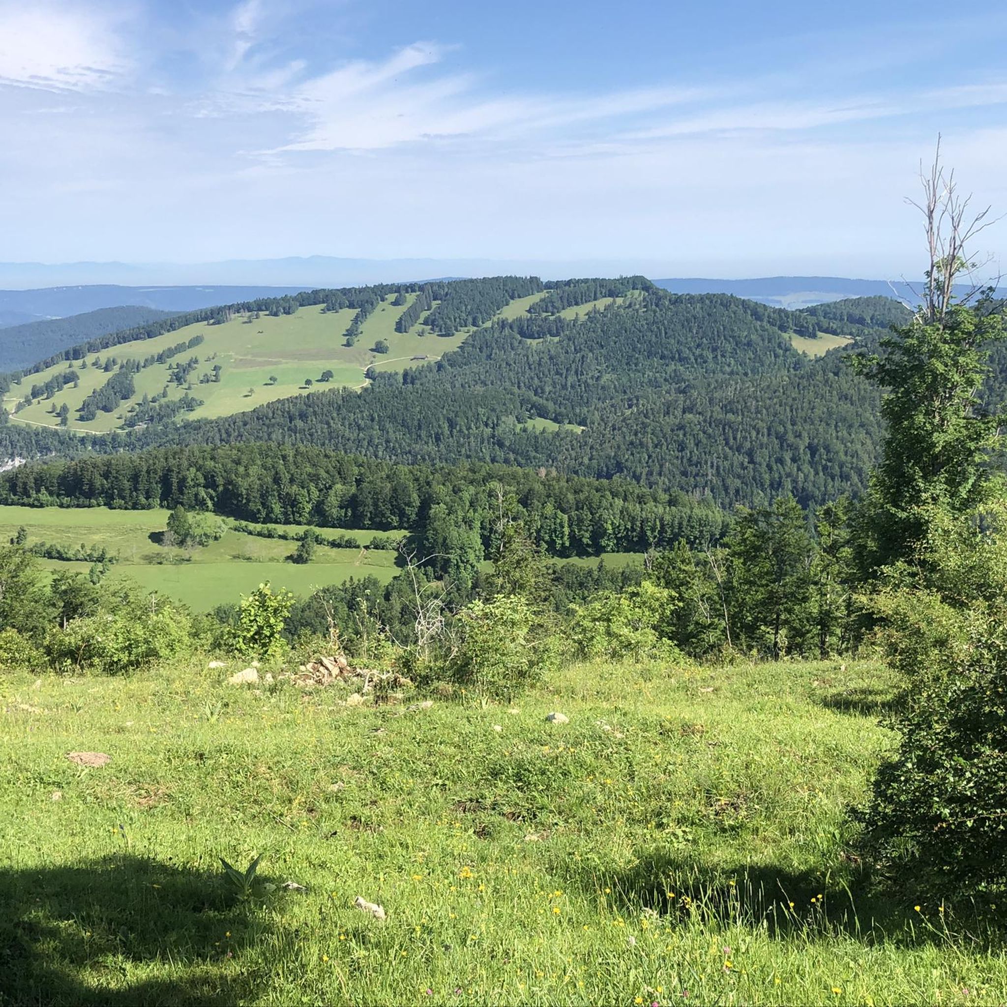
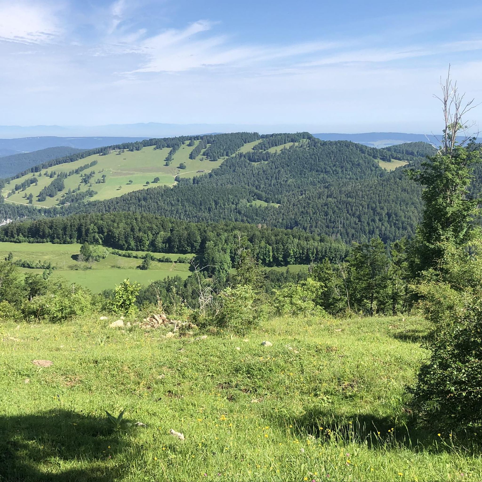
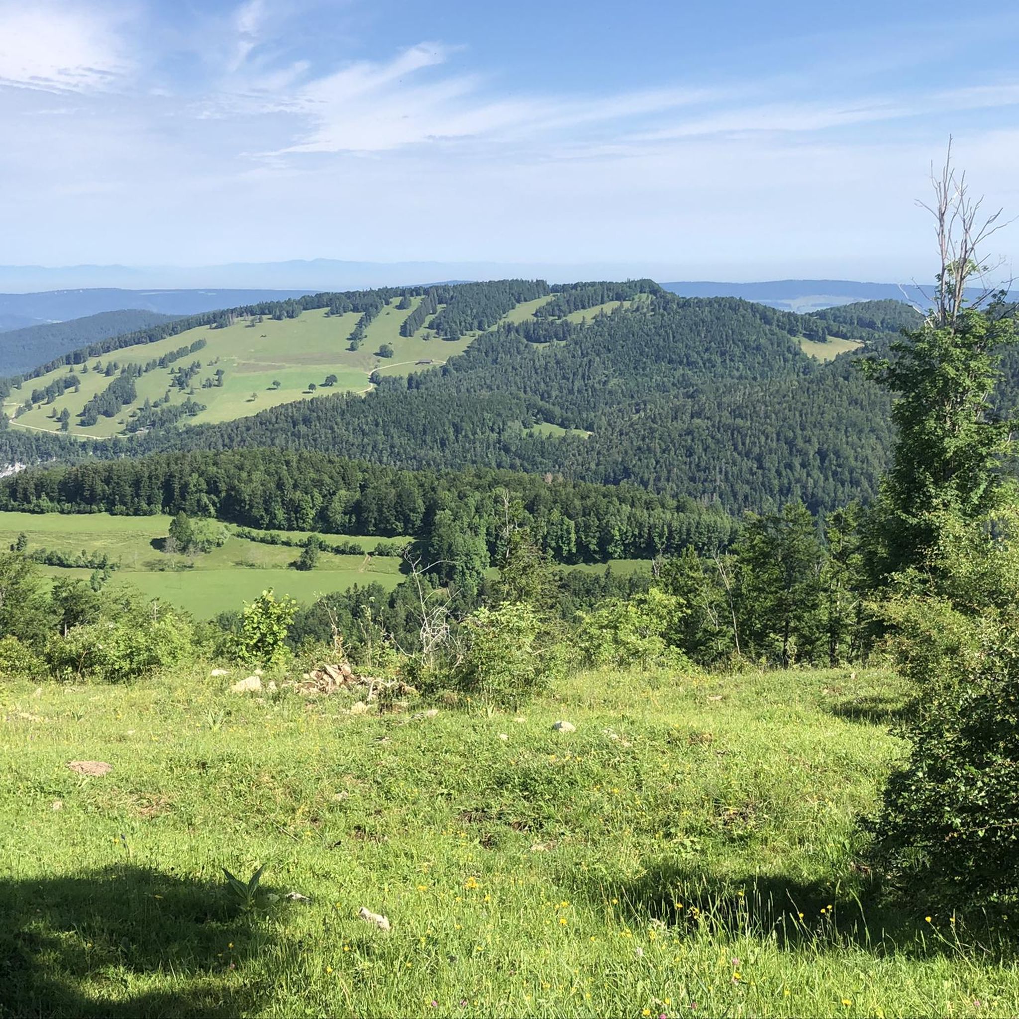
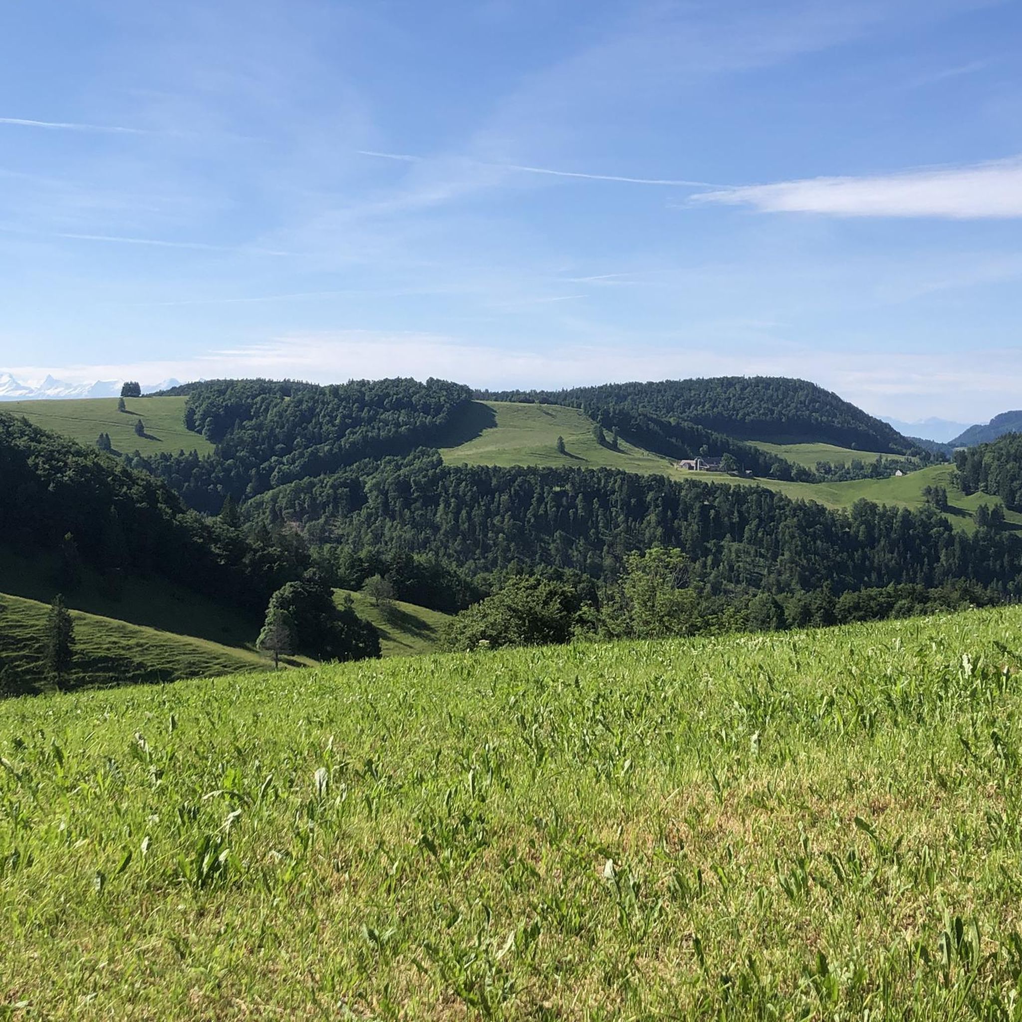
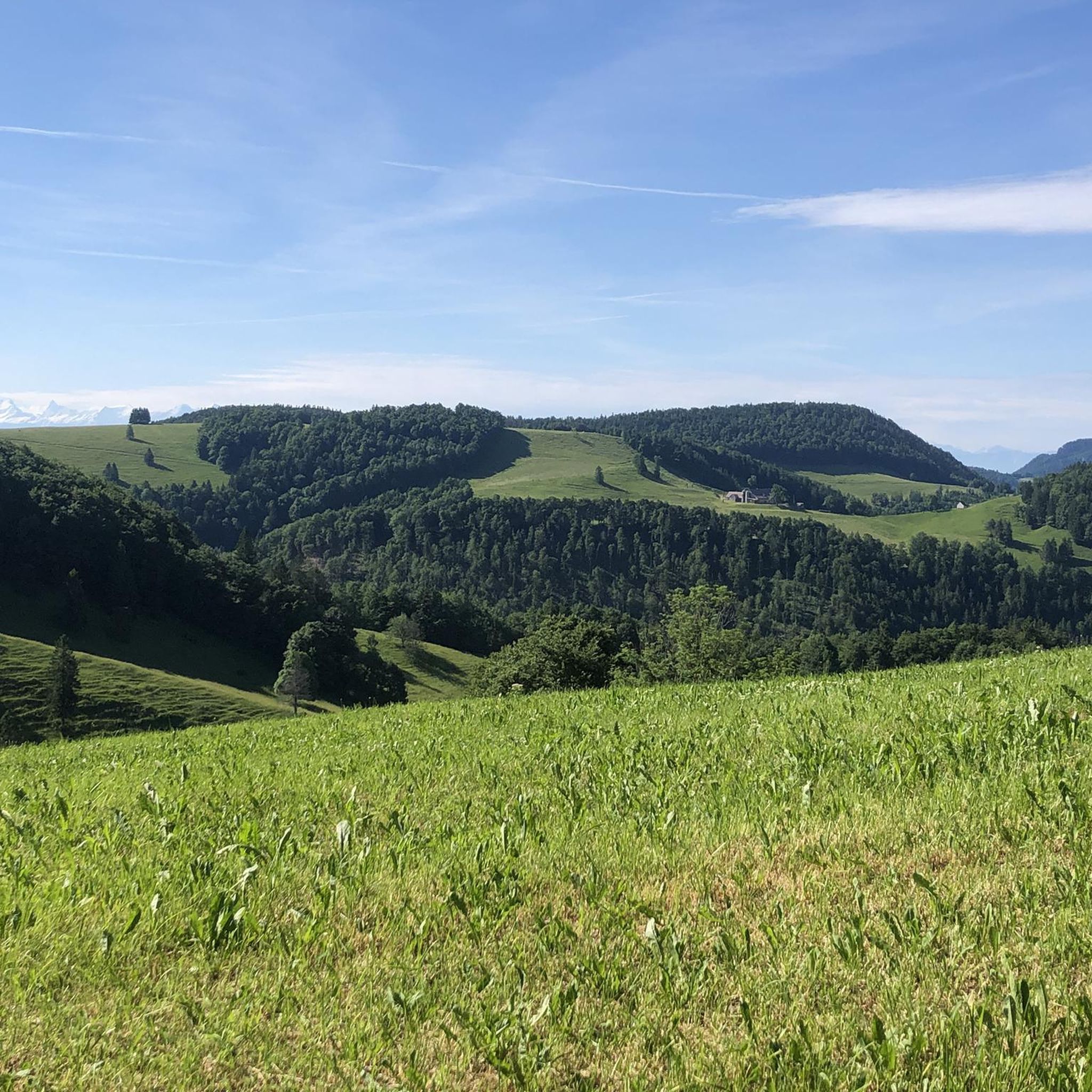
Mountaineering routes around Schelten traverse the varied terrain of the Jura mountains, characterized by limestone formations, dense forests, and open alpine pastures. The region offers a mix of challenging ascents and scenic paths through valleys and along ridges. Elevations provide panoramic views of the surrounding landscape, making it a destination for those seeking a robust outdoor experience.
Best mountaineering routes around Schelten
- The most popular mountaineering route is View from Balmfluehchöpfli – Herrenloch Cave loop from Balm b. Günsberg,…
Last updated: October 11, 2026
5.0
(3)
23
hikers
7.43km
03:28
620m
620m
Hard mountaineering route. Good fitness required. Sure-footedness, sturdy shoes and alpine experience required.
5.0
(2)
12
hikers
4.88km
03:13
550m
550m
Hard mountaineering route. Good fitness required. Sure-footedness, sturdy shoes and alpine experience required.

8
hikers
7.77km
03:56
640m
630m
Hard mountaineering route. Good fitness required. Sure-footedness, sturdy shoes and alpine experience required.
5.0
(1)
8
hikers
7.86km
02:48
370m
370m
Hard mountaineering route. Good fitness required. Sure-footedness, sturdy shoes and alpine experience required.
5
hikers
7.14km
03:24
610m
600m
Hard mountaineering route. Good fitness required. Sure-footedness, sturdy shoes and alpine experience required.
Our route recommendations are based on thousands of hikes, rides, and runs completed by other people on komoot.
Start today with a free account
Your next adventure awaits.

Tips from the Community

pretty here, very pretty
1
0

The Herrenloch is a cave with two entrances - a kind of tunnel - below the Balmfluechöpfli. It can be reached by trails both from the west ridge of the Balmfluechöpfli and as the end of the Hornpfad. The exit on the east side is reserved for the very experienced only; there has also been a fatal fall here. From the western entrance of the Herrenloch, you can also climb directly to the summit of the Balmfluechöpfli via trails.
0
0

I reached the Herrenloch via the Hornpfad, which should only be walked uphill due to the danger of rockfall.
1
2

A tiny cave that can be reached on the way to or from Balmfluechöpfli via a T5 route. The route is well marked and secured, but sturdy shoes and surefootedness are recommended.
2
0
A T5 route has been created from the Herrenloch exit to the summit of Balmfluechöpfli. The route is well-secured and marked, but you should still wear sturdy shoes and be sure-footed.
2
0

A very cool trail for experienced bikers! It starts off technical, then becomes flowy.
0
0

The Balmfluh castle ruins are clearly visible from the trail. It's worth getting off your bike for a moment and taking a look at the old walls.
1
0

Certainly not for the faint of heart... But a perfect adventure
2
1
Frequently Asked Questions
How many mountaineering routes are available around Schelten?
There are 7 mountaineering routes detailed in this guide for the Schelten region, offering a range of experiences through the Jura mountains.
Are there any easier mountaineering routes around Schelten?
While many routes in Schelten are considered difficult, there are 3 moderate mountaineering routes available. For example, the Cholberg loop from Welschenrohr is a moderate option, covering about 12.1 km.
What is the typical length and duration of mountaineering routes in Schelten?
The mountaineering routes around Schelten vary in length and duration. You can expect routes ranging from approximately 4.7 km to 12.1 km, with completion times typically between 3 to 5 hours, depending on the route and your pace.
Which routes offer the best panoramic views in Schelten?
Several routes provide excellent panoramic views. The View from Balmfluehchöpfli – Röti Summit (1,395 m) loop from Balm b. Günsberg is particularly known for its expansive vistas from Röti Summit. Another great option is the View from Balmfluehchöpfli – Herrenloch Cave loop from Balm b. Günsberg, which also offers stunning viewpoints.
Are there circular mountaineering routes available in Schelten?
Yes, many of the mountaineering routes around Schelten are designed as loops, allowing you to start and end at the same point. Examples include the Herrenloch Cave – View from Balmfluehchöpfli loop from Balm b. Günsberg and the Cholberg loop from Welschenrohr.
What can I see along the mountaineering routes around Schelten?
Beyond the stunning natural landscapes, you can explore interesting geological features and historical sites. Highlights include the Wolf Gorge and the Balmfluh Castle Ruins. The region is also home to several caves, such as Bäreloch Cave and Kastel Cave.
When is the best time of year to go mountaineering in Schelten?
The best time for mountaineering in Schelten is typically from late spring through early autumn (May to October). During these months, the weather is generally more stable, and trails are free of snow, offering optimal conditions for exploring the Jura mountains.
What are the conditions like for mountaineering in Schelten during winter?
Mountaineering in Schelten during winter can be challenging due to snow and ice, especially at higher elevations and on north-facing slopes. Some routes may become impassable or require specialized winter equipment and experience. It's advisable to check local conditions and forecasts before heading out.
Are dogs allowed on the mountaineering routes around Schelten?
Generally, dogs are welcome on trails in the Jura region, but it's always recommended to keep them on a leash, especially in forested areas, near livestock, or in nature protection zones. Please ensure your dog is well-behaved and that you clean up after them.
What do other mountaineers enjoy the most about mountaineering in Schelten?
The mountaineering routes around Schelten are highly rated by the komoot community, with an average score of 5.0 stars. Reviewers often praise the challenging ascents, the diverse landscape of limestone formations and dense woodlands, and the rewarding panoramic views from summits like Röti.
Is parking available at the trailheads for mountaineering routes in Schelten?
Parking is generally available at or near the starting points of many routes in the Schelten region, particularly in villages like Balm b. Günsberg and Welschenrohr. Specific parking details can often be found on individual route pages or local tourism information.
Can I reach the mountaineering routes around Schelten by public transport?
While some trailheads might be accessible via regional bus services, public transport options can be limited in the more remote areas of Schelten. Planning your journey in advance using local transport schedules is recommended if you intend to rely on public transport.
Most popular attractions around Schelten

Get inspired with the komoot mobile app


Explore more
Browse the best Mountain Hikes & Routes in other regions.
