The best mountain hikes around Diegten
5.0
(1)
11
hikers
6
hikes
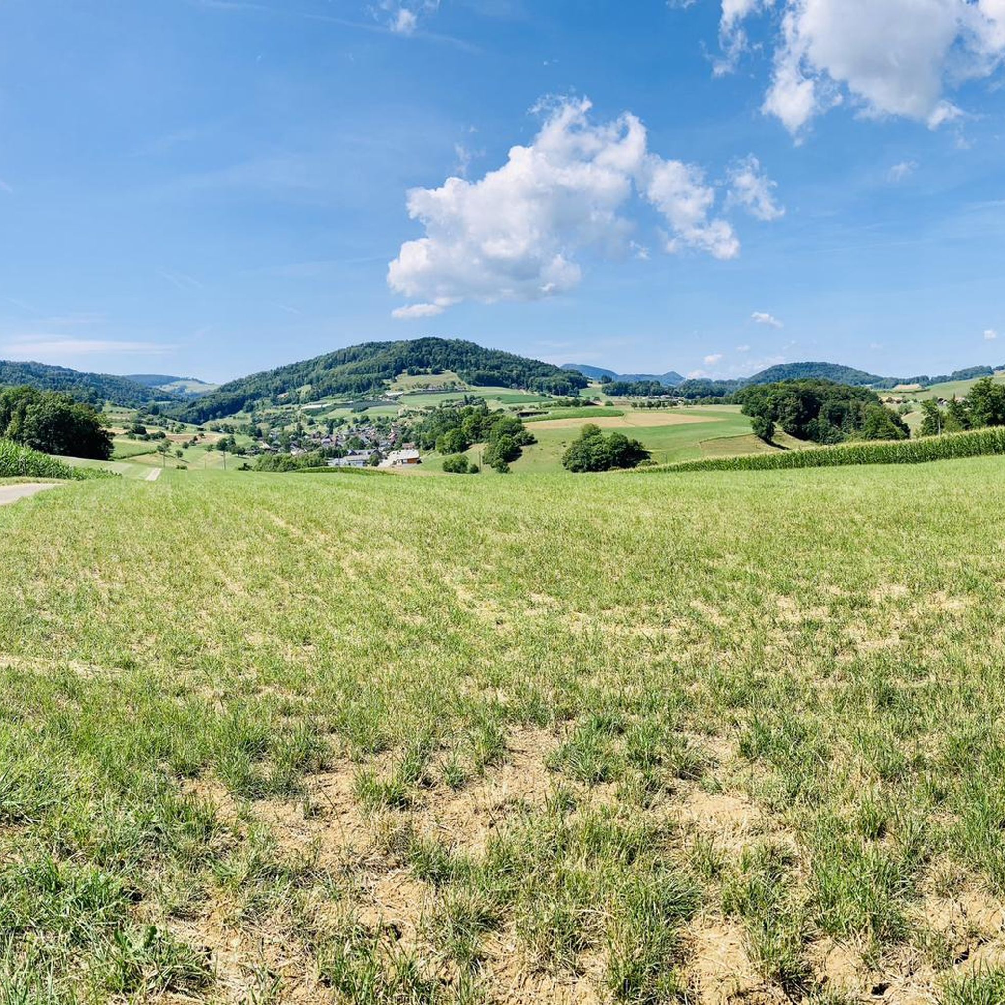
Mountaineering routes around Diegten traverse the varied terrain of the Basel-Landschaft region, characterized by rolling hills, dense woodlands, and elevated viewpoints. The landscape features a mix of open fields and forested sections, with several routes offering panoramic vistas from higher elevations. Ascent profiles vary, providing options for different skill levels to explore the area's natural features.
Best mountaineering routes around Diegten
- The most popular mountaineering route is Ruins of Neu-Falkenstein Castle – Roggenschnarz loop from Holderbank SO, a 9.0…
Last updated: October 11, 2026
2
hikers
Moderate mountaineering route. Good fitness required. Mostly accessible paths. Sure-footedness required.
5.0
(1)
3
hikers
11.2km
03:29
410m
410m
Moderate mountaineering route. Good fitness required. Mostly accessible paths. Sure-footedness required.

1
hikers
15.3km
04:50
620m
620m
Moderate mountaineering route. Good fitness required. Easily-accessible paths. Suitable for all skill levels.
2
hikers
4.87km
01:40
200m
210m
Moderate mountaineering route. Great for any fitness level. Mostly accessible paths. Sure-footedness required.
2
hikers
14.2km
04:42
610m
600m
Moderate mountaineering route. Good fitness required. Mostly accessible paths. Sure-footedness required.
Our route recommendations are based on thousands of hikes, rides, and runs completed by other people on komoot.
Start today with a free account
Your next adventure awaits.
Tips from the Community

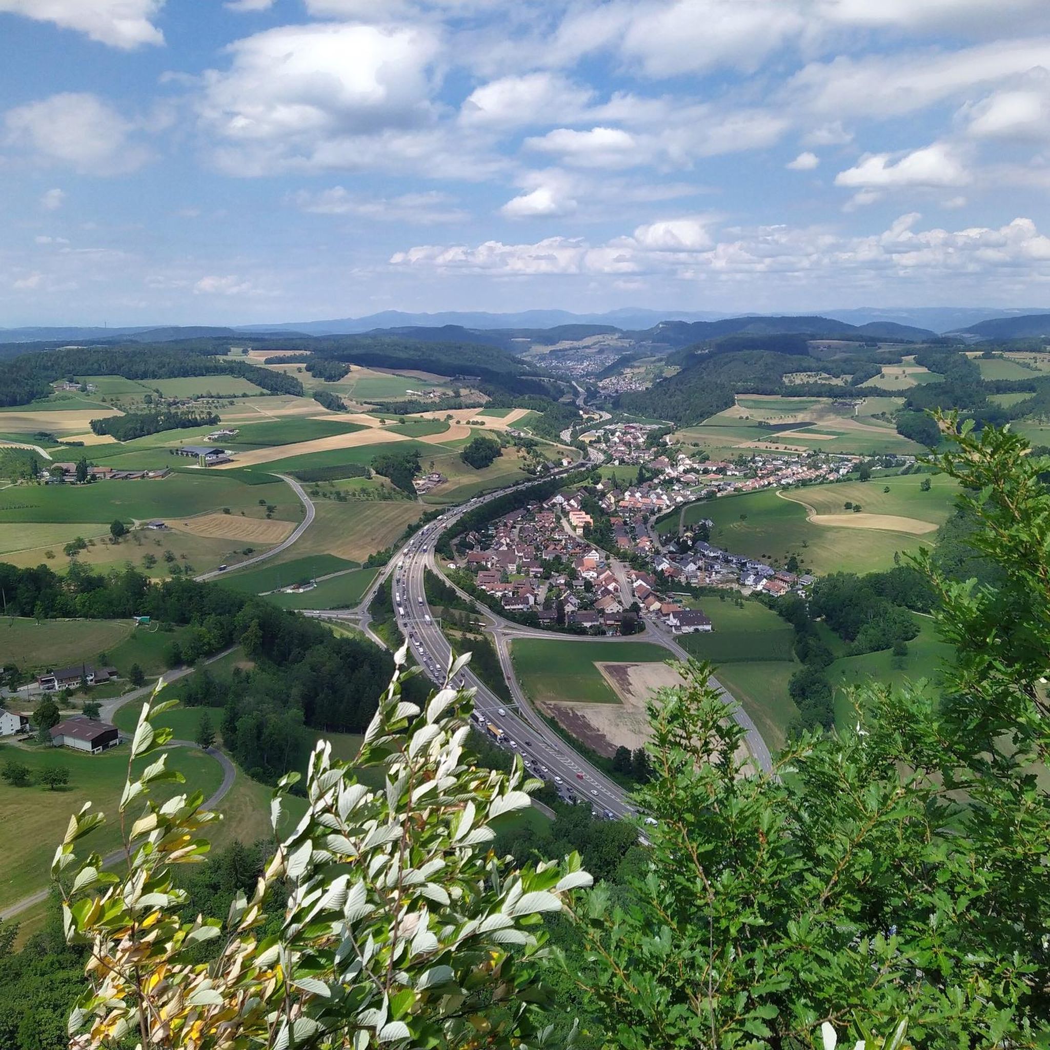
Viewpoint with bus stop and bench. Many hiking and biking trails start from here.
0
0

Beautiful mountain lodge as a good starting point for a hike across the Belchenflue.
3
0

The view is dominated on the right by the Farnsberg hill, with the bright, light-colored ruins of Farnsburg Castle perched on its upper slope, visible from afar. A visit to the ruins is highly recommended. From up here, the view sweeps down to the village of Hemmiken and further into the Jura Mountains.
0
0

Ideal resting place with fire pit: carry barbecue food in your backpack!
1
0

A challenging pass in the Tafeljura, the climb is made up of a small road with a maximum gradient of 15% and little traffic. The scenery is very scenic, with magnificent panoramas along the way.
1
1

A brief look back and relics of history. Some information boards along the way describe the events of that time and provide good background information.
2
0

Chamois can often be seen at this spot.
0
0
Nice hike down to the Rhine - a good 30 km.
1
1
Frequently Asked Questions
What is the general difficulty of mountaineering routes around Diegten?
The mountaineering routes around Diegten offer a range of difficulties. There are 5 moderate routes, which are suitable for most hikers with a reasonable fitness level. For those seeking a greater challenge, there is also 1 difficult route available, such as the Belchenflue Summit Viewpoint – Chilchzimmersattel loop from Langenbruck.
Are there any shorter mountaineering routes suitable for a quicker outing?
Yes, for a shorter mountaineering experience, consider the Schneelochberg – Schellenberg loop from Belchenflue. This moderate route covers approximately 4.7 kilometers and typically takes around 1 hour 38 minutes to complete.
What are the typical lengths of mountaineering routes in the Diegten area?
The mountaineering routes around Diegten vary in length, generally ranging from about 4.7 kilometers to 15.4 kilometers. Many routes are designed as loops, offering a comprehensive exploration of the local landscape.
What kind of views can I expect on the mountaineering trails near Diegten?
The routes often lead to elevated viewpoints offering panoramic vistas of the Basel-Landschaft region. For example, the View of the Farnsberg – Farnsburg Castle Ruins loop from Bezirk Sissach provides views of the Farnsberg, while the Belchenflue Summit Viewpoint – Chilchzimmersattel loop from Langenbruck includes the prominent Belchenflue Summit Viewpoint itself.
Are there any historical landmarks or points of interest along the routes?
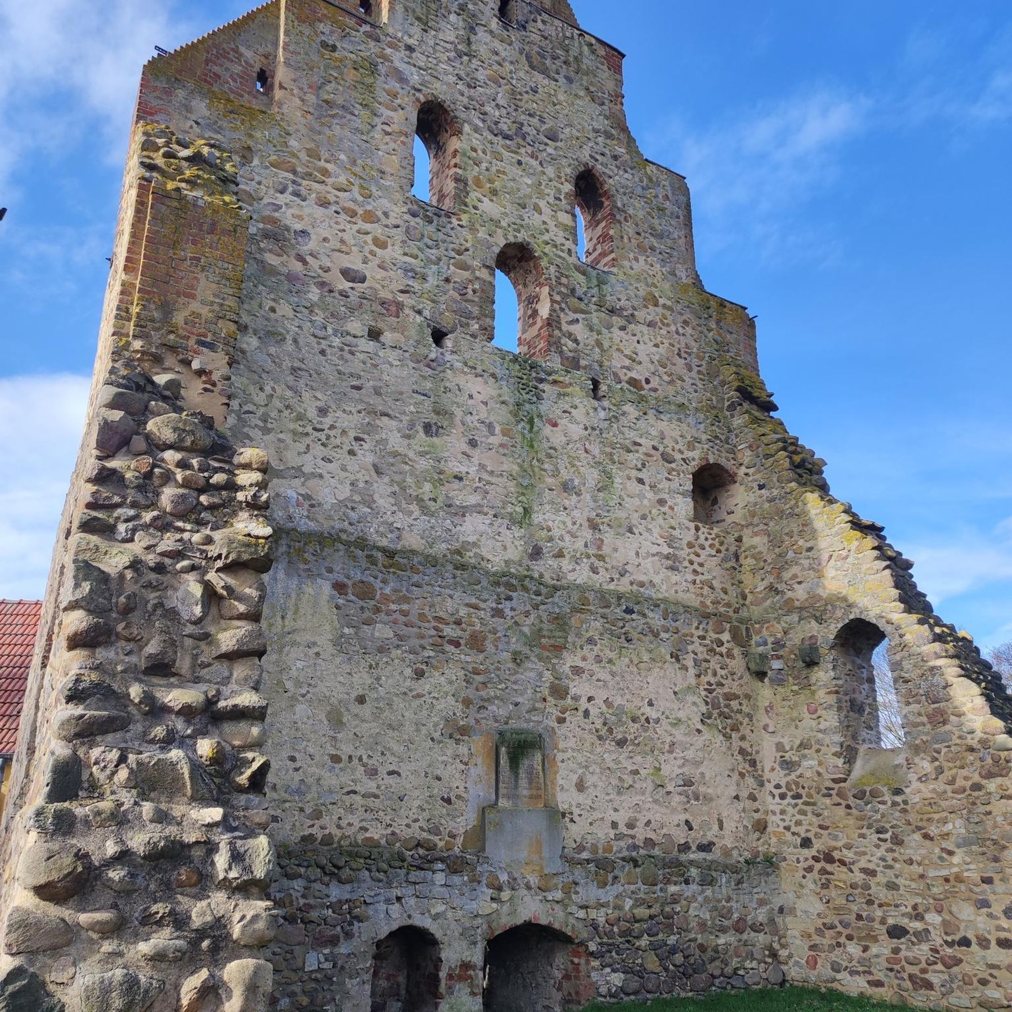
Yes, several routes incorporate historical landmarks. The Ruins of Neu-Falkenstein Castle – Roggenschnarz loop from Holderbank SO passes by historical ruins. Another route, the View of the Farnsberg – Farnsburg Castle Ruins loop from Bezirk Sissach, includes the ruins of Farnsburg Castle, offering a glimpse into the region's past.
What do other mountaineers say about the routes in Diegten?
The mountaineering routes in Diegten are highly regarded by the komoot community, holding an average rating of 5.0 stars from reviews. Users often praise the varied terrain, which includes a mix of open fields, dense woodlands, and elevated sections, as well as the well-maintained paths.
Are there any circular mountaineering routes available?
Yes, many of the mountaineering routes around Diegten are designed as circular loops, allowing you to start and end at the same point. Examples include the Ruins of Neu-Falkenstein Castle – Roggenschnarz loop from Holderbank SO and the Chilchzimmersattel – Belchenflue Summit Viewpoint loop from Langenbruck.
What is the best season for mountaineering in Diegten?
The Basel-Landschaft region, including Diegten, is generally pleasant for mountaineering from spring through autumn. During these seasons, you can expect favorable weather conditions and lush landscapes. While some routes may be accessible in winter, it's essential to check local conditions and be prepared for snow and ice.
Are there any gorges or unique natural features to explore nearby?
Yes, the Diegten area is close to several interesting natural features. You can explore highlights like the Tüfels Gorge or the Teufelsschlucht Waterfalls and Pools, which offer a different kind of outdoor experience.
What kind of gear should I bring for mountaineering in Diegten?
For mountaineering in Diegten, it's advisable to wear sturdy hiking boots with good ankle support, as the terrain can be varied. Layers of clothing are recommended to adapt to changing weather conditions, and always carry enough water, snacks, a map or GPS device, and sun protection.
Are there any specific summits or high points I can reach?
Absolutely. The region features several notable summits and high points. For instance, the Belchenflue Summit Viewpoint is a popular destination, offering expansive views. You can also find the Hinteri Egg – Highest Point of Basel-Landschaft nearby.
Are there options for advanced mountaineers looking for a challenge?
Yes, for experienced mountaineers seeking a more demanding route, the Belchenflue Summit Viewpoint – Chilchzimmersattel loop from Langenbruck is classified as difficult. This 15.4-kilometer trail involves significant elevation gain and typically takes over 5 hours to complete.
Most popular routes around Diegten
Most popular attractions around Diegten

Get inspired with the komoot mobile app


Explore more
Browse the best Mountain Hikes & Routes in other regions.
