The best mountain hikes around Sins
22
hikers
Mountaineering routes near Sins Switzerland traverse a varied landscape, from challenging mountain ascents to gentler lakeside paths. The region is characterized by prominent peaks like Rigi, offering significant elevation gains and panoramic views. Valleys and lower-lying areas provide opportunities for less strenuous routes, often alongside lakes or through forested sections. This diverse topography supports a range of mountaineering experiences.
Best mountaineering routes around Sins
- The most popular mountaineering route is Rigi Kulm loop from Küssnacht am Rigi, a 11.2 miles (18.1 km) trail that takes 7 hours 36 minutes to complete. This difficult route features a substantial ascent to Rigi Kulm, offering expansive views.
- Another top favourite among local mountaineers is Rigi Kulm loop from Immensee, a difficult 9.2 miles (14.9 km) path. This route also leads to Rigi Kulm, providing a challenging climb through mountainous terrain.
- Local mountaineers also love the Rotsee Lido – Rotsee Badi loop from Ebikon, a 4.3 miles (6.9 km) trail leading through lakeside and urban areas, often completed in about 1 hour 49 minutes.
- Mountaineering around Sins is defined by significant mountain ascents, panoramic viewpoints, and varied terrain including lakeside paths. The network offers options for different ability levels, from easy loops to difficult mountain challenges.
- The guide includes highly-rated routes that showcase the best of the region's landscape. More than 20 mountaineers have used komoot to explore Sins's varied terrain.
Last updated: July 8, 2026
11
hikers
18.3km
07:40
1,340m
1,340m
Hard mountaineering route. Very good fitness required. Sure-footedness, sturdy shoes and alpine experience required.
7
hikers
15.1km
07:09
1,300m
1,300m
Hard mountaineering route. Very good fitness required. Sure-footedness, sturdy shoes and alpine experience required.

Sign up for free
2
hikers
6.96km
01:50
60m
60m
Easy mountaineering route. Great for any fitness level. Easily-accessible paths. Suitable for all skill levels.
Our route recommendations are based on thousands of hikes, rides, and runs completed by other people on komoot.
Start today with a free account
Your next adventure awaits.
Login or Signup
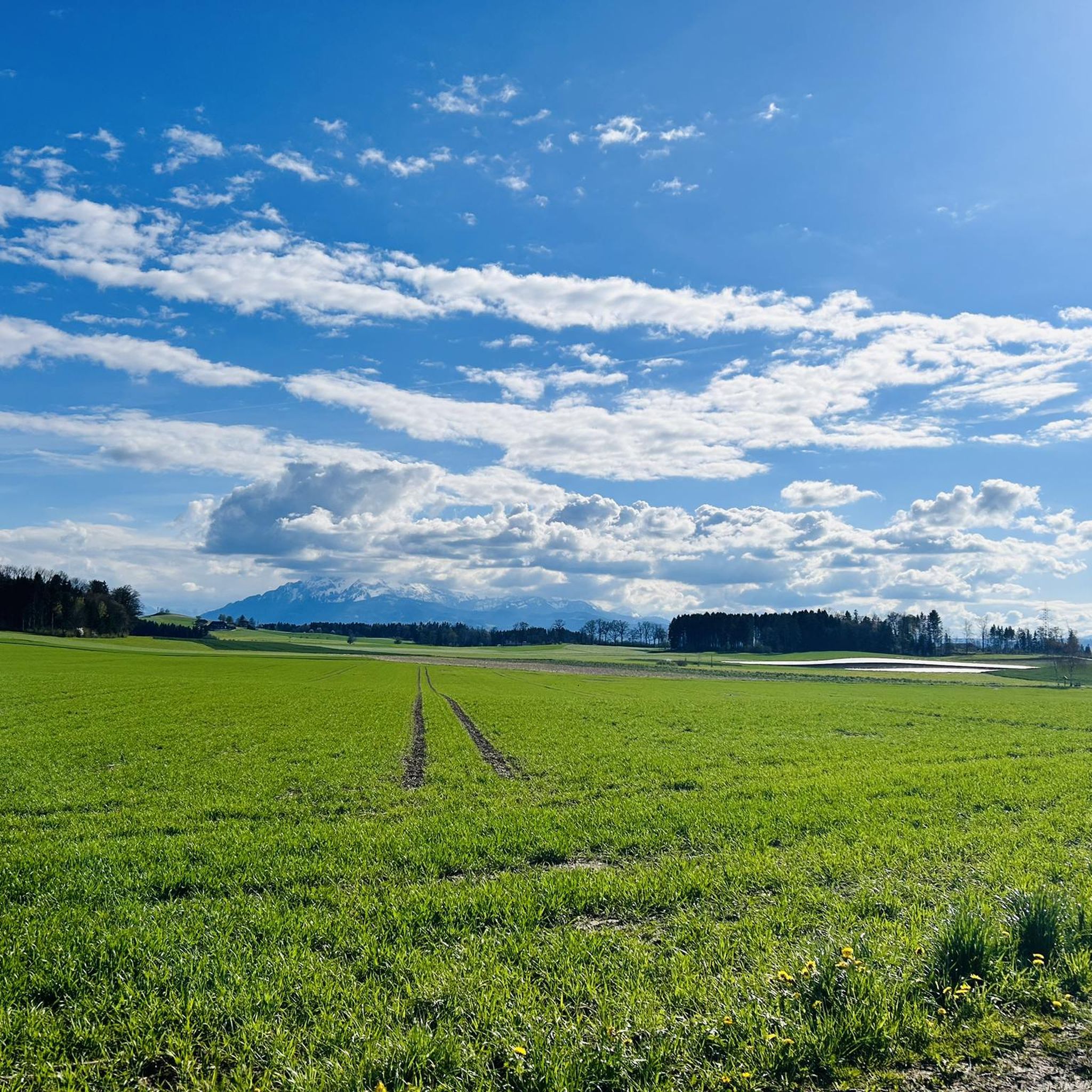
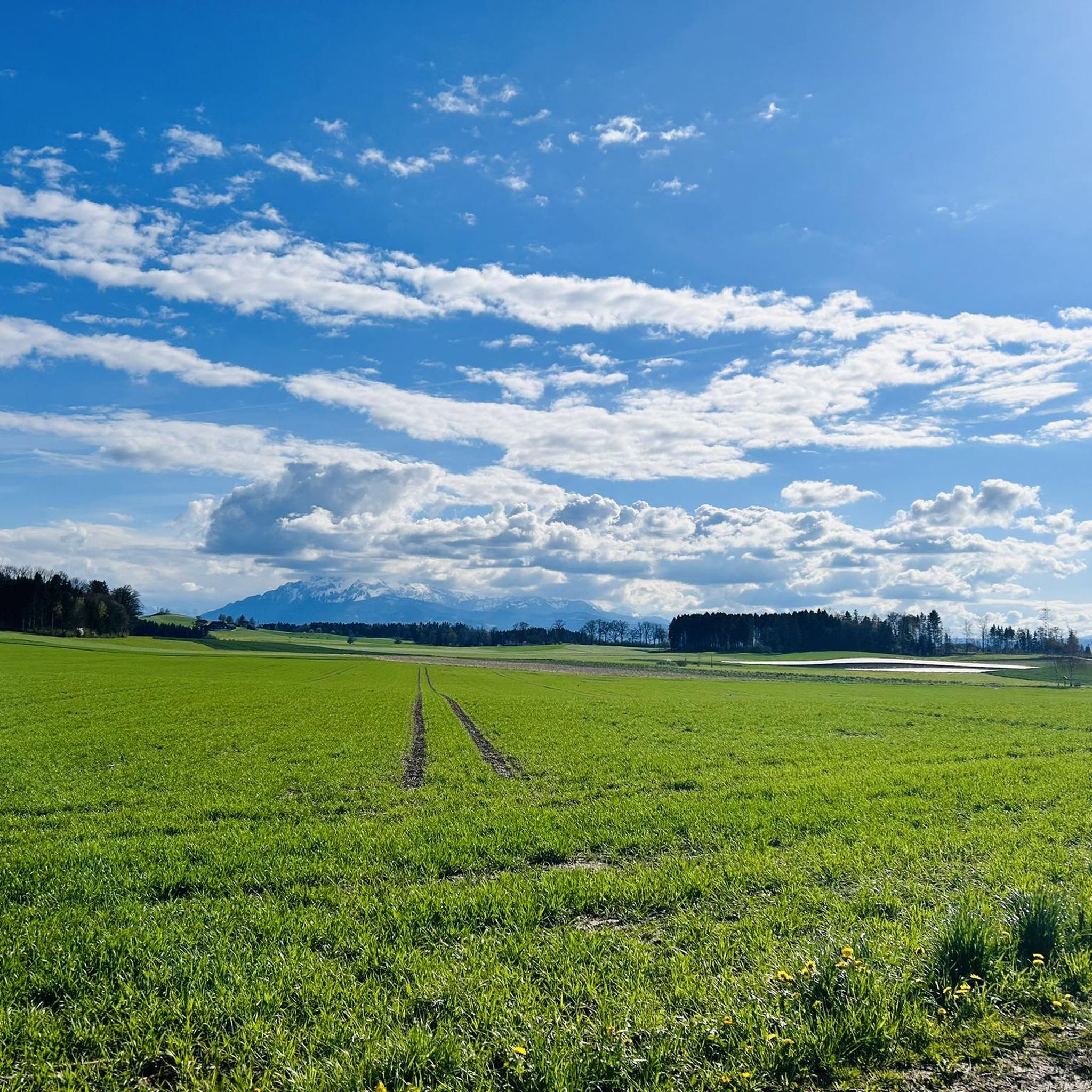
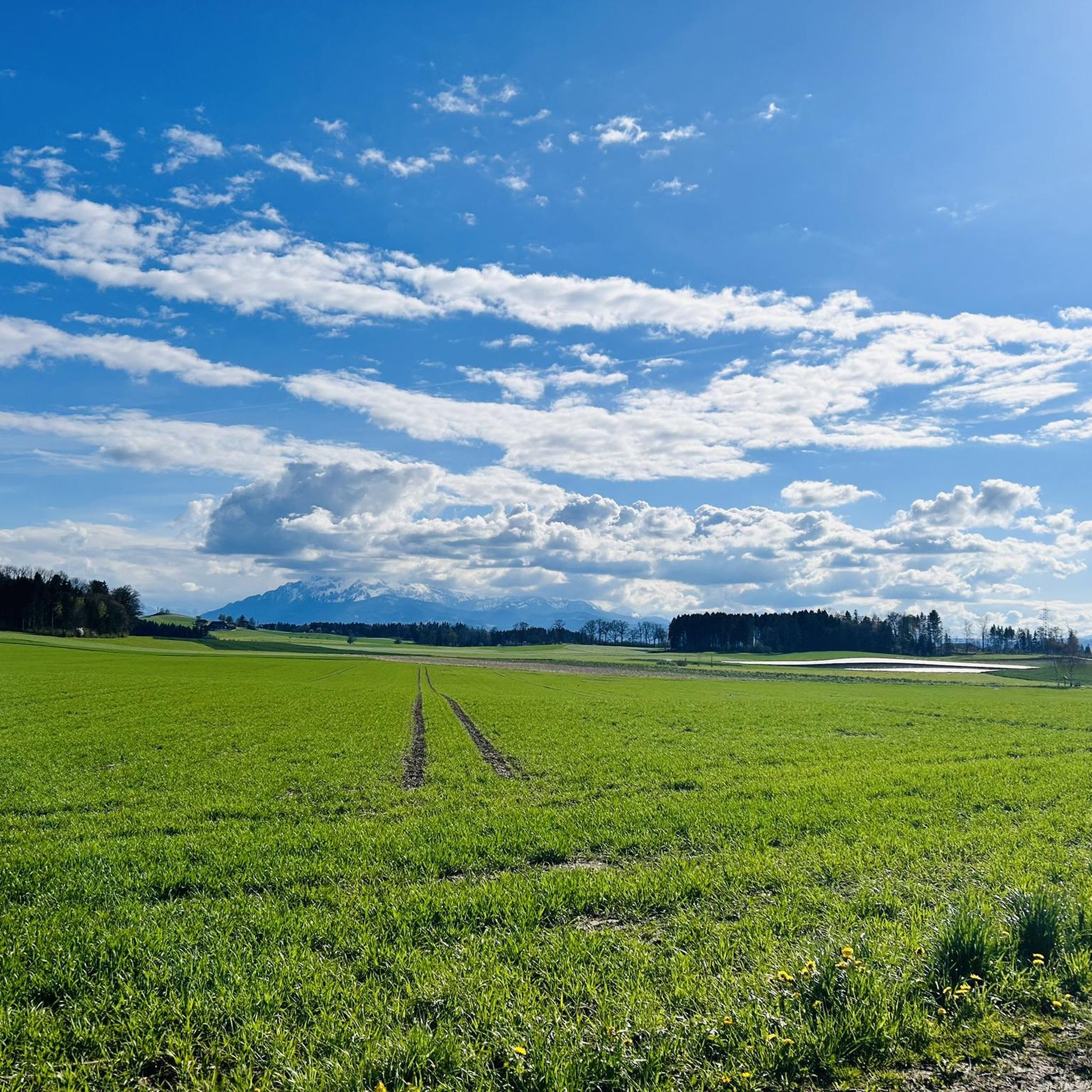
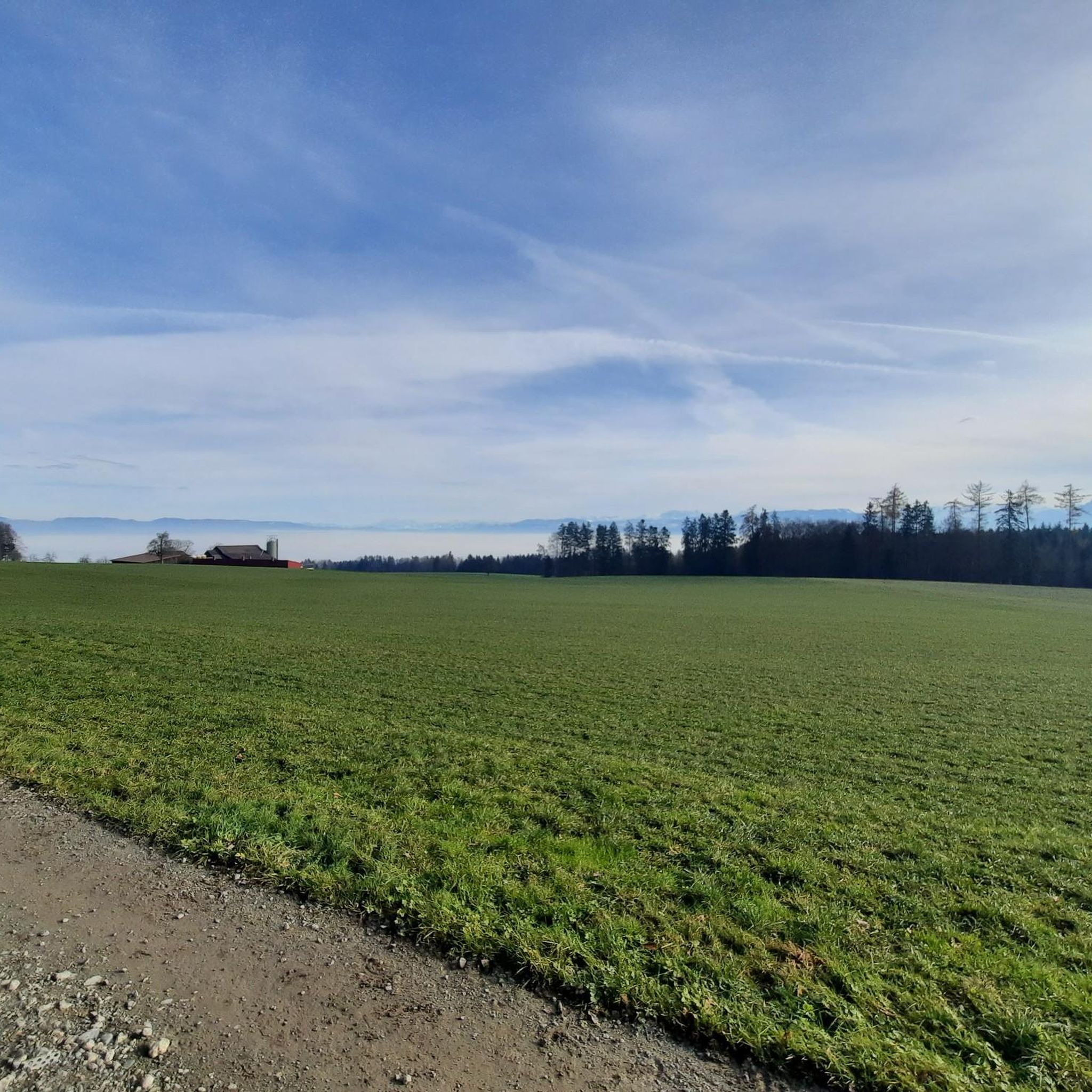
Tips from the Community

there is no nicer place for a fine Caffee Mocca
1
0
pretty here, very pretty
0
0
pretty here, very pretty
0
0

If you're wondering about this minimalist building with the separate walkway, here's the answer: it's the finish tower for the rowing course, which is used during the annual regatta.
0
0
The Rotsee is a popular rowing lake of international renown, which regularly hosts competitions. Due to its location, the lake surface is usually very smooth, making it the perfect training and competition lake. There are jetties here that can be used to launch the delicate rowing boats into the water.
0
0

A large stone from China, from the Chinese twin city there.
1
0

Beautiful alpine pasture. Very busy on weekends. Starting point for hikes toward Küssnacht, Immensee, and Rigi.
5
0

Frequently Asked Questions
What is the general difficulty level of mountaineering routes around Sins?
The mountaineering routes near Sins offer a range of difficulties. While some, like the Rigi Kulm loop from Küssnacht am Rigi, are considered difficult due to significant elevation gains, there are also easier options available, such as the Rotsee Lido – Rotsee Badi loop from Ebikon, which is suitable for a more relaxed experience.
Are there any beginner-friendly mountaineering routes near Sins?
Yes, for those seeking a less strenuous experience, the Rotsee Lido – Rotsee Badi loop from Ebikon is an excellent choice. This easy 6.9 km route takes about 1 hour 49 minutes to complete and offers a pleasant walk through lakeside and urban areas without significant elevation.
What kind of views can I expect on mountaineering routes around Sins?
Many routes, particularly those ascending prominent peaks like Rigi, offer expansive panoramic views of the surrounding Swiss landscape. For instance, both the Rigi Kulm loop from Küssnacht am Rigi and the Rigi Kulm loop from Immensee lead to Rigi Kulm, renowned for its breathtaking vistas.
Are there any circular mountaineering routes available?
Yes, several routes around Sins are designed as loops, allowing you to start and end at the same point. Examples include the challenging Rigi Kulm loop from Küssnacht am Rigi and the easier Rotsee Lido – Rotsee Badi loop from Ebikon.
What is the best time of year for mountaineering in Sins?
The best time for mountaineering in Sins generally spans from late spring through early autumn (May to October). During these months, the weather is typically more stable, and trails are clear of snow, especially at higher elevations. Winter mountaineering is possible but requires specialized equipment and experience due to snow and ice conditions.
Are there any historical landmarks or natural attractions to see along the routes?
Yes, the region around Sins is rich in both historical sites and natural beauty. You might encounter highlights such as the Johanniter Commandery Hohenrain or the Nünegg Castle Ruins, Lieli. Natural points of interest include the Lake Zug Promenade and the Highest Point of Lindenberg (681 m).
What are the typical durations for mountaineering routes in this area?
Route durations vary significantly based on distance and elevation gain. Shorter, easier loops like the Rotsee Lido – Rotsee Badi loop from Ebikon can be completed in under two hours. More challenging mountain ascents, such as the Rigi Kulm loop from Immensee, can take over seven hours.
Are there options for public transport access to the trailheads?
Many trailheads in Switzerland, including those near Sins, are well-connected by public transport. It's advisable to check local bus and train schedules for specific starting points, especially for popular destinations like Rigi, which often have mountain railways or cable cars accessible from nearby towns.
What should I wear or bring for mountaineering in Sins?
For mountaineering in Sins, it's essential to wear sturdy hiking boots, dress in layers suitable for changing mountain weather, and carry rain gear. A backpack with water, snacks, a first-aid kit, a map, and a fully charged phone is also recommended. For higher or more challenging routes, consider trekking poles.
Are there cafes or restaurants near the mountaineering routes?
Yes, many popular mountaineering areas in Switzerland, including those around Sins, have mountain huts, restaurants, or cafes at key points or summits. For example, Rigi Kulm, a destination for several routes, offers dining options. You'll also find various establishments in the towns and villages near the trailheads.
What do other mountaineers enjoy most about the routes around Sins?
Mountaineers frequently praise the diverse terrain, from challenging mountain ascents to serene lakeside paths, and the rewarding panoramic viewpoints, especially from peaks like Rigi. The well-maintained trails and the opportunity to experience varied landscapes are often highlighted as key attractions.
Most popular attractions around Sins

Get inspired with the komoot mobile app


Explore more
Browse the best Mountain Hikes & Routes in other regions.
