The best mountain hikes around Corban
5.0
(1)
12
hikers
1
hike
Mountaineering routes around Corban are situated in the District de Delémont, characterized by its varied topography. The region features a mix of forested hills, open pastures, and limestone formations, providing diverse terrain for mountaineering. Elevations in the area include peaks such as Röti Summit at 1,395 meters. The landscape offers both challenging ascents and more moderate paths through natural environments.
Best mountaineering routes around Corban
- The most popular mountaineering route is View from Balmfluehchöpfli – Röti Summit (1,395 m) loop…
Last updated: June 24, 2026
5.0
(1)
8
hikers
7.60km
02:40
350m
350m
Moderate mountaineering route. Good fitness required. Mostly accessible paths. Sure-footedness required.
2
hikers
4.93km
02:06
340m
340m
Moderate mountaineering route. Good fitness required. Mostly accessible paths. Sure-footedness required.

Sign up for free
2
hikers
14.8km
04:33
440m
440m
Moderate mountaineering route. Good fitness required. Mostly accessible paths. Sure-footedness required.
Our route recommendations are based on thousands of hikes, rides, and runs completed by other people on komoot.
Start today with a free account
Your next adventure awaits.
Login or Signup
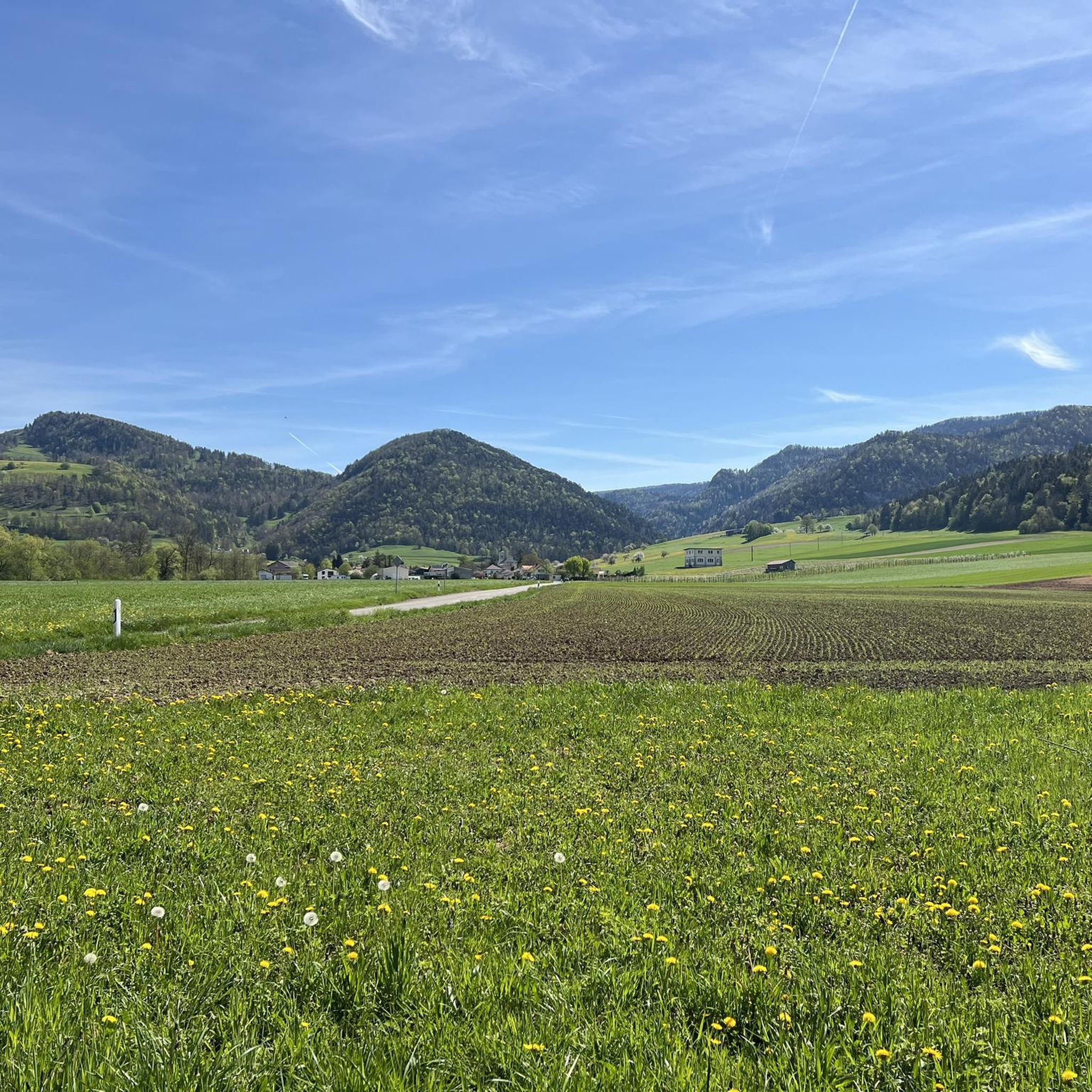
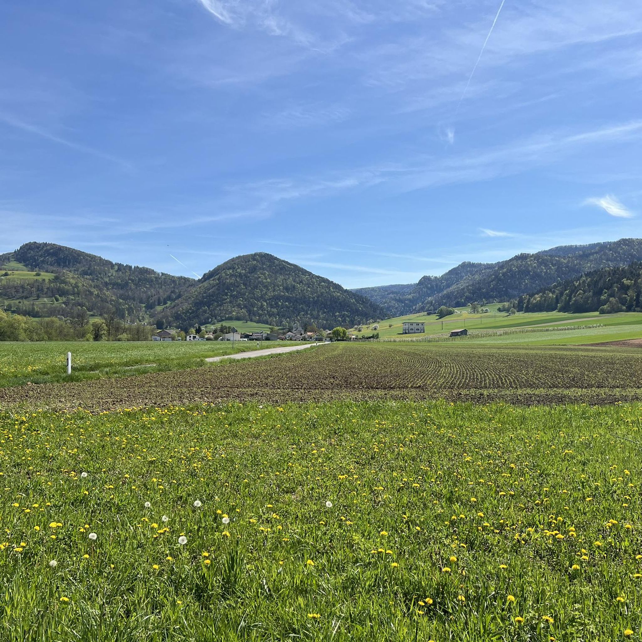
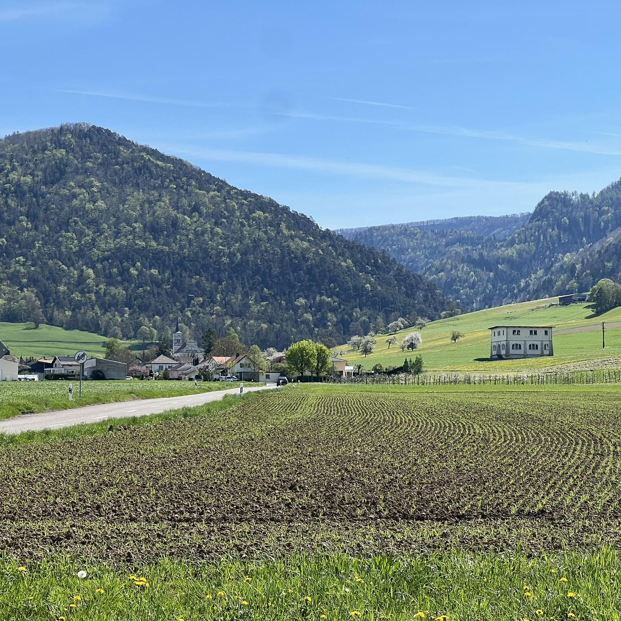
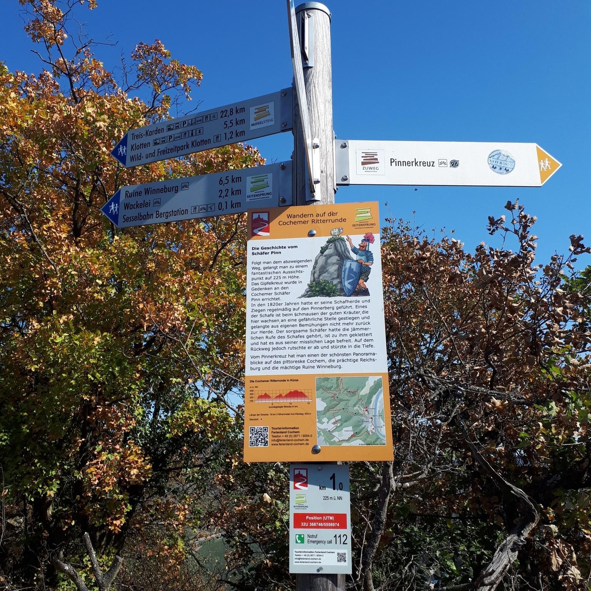
Tips from the Community


There are parking spaces directly at the pass
0
0

Unfortunately, the Kurhaus is still listed on a hiking map as a catering facility.
0
0

A powerful project with a 40-year-old Colnago.
0
0

The Balmberg is particularly notorious for its extremely steep approach from Welschenrohr. There, the asphalt climb climbs approximately 400 meters with gradients of up to 25%. From Günsberg, it's considerably easier – in comparison – but still a real fitness test!
1
0

Lots of marigolds in all the ditches where the water runs...
0
0


Frequently Asked Questions
What types of mountaineering routes can I find around Corban?
The Corban area, situated in the District de Delémont, offers a diverse range of mountaineering routes. You'll find paths traversing forested hills, open pastures, and distinctive limestone formations. The terrain includes both challenging ascents to peaks like Röti Summit and more moderate trails through natural environments.
Are there any challenging mountaineering routes for experienced hikers?
Yes, for those seeking a more demanding experience, the region offers routes like the View from Balmfluehchöpfli – Röti Summit (1,395 m) loop from Balm b. Günsberg. This difficult 7.7 km trail features significant elevation gain and offers panoramic views from Röti Summit.
Can I find moderate mountaineering routes suitable for a steady pace?
Absolutely. Many routes in Corban are well-suited for moderate mountaineering. For example, the Cholberg loop from Welschenrohr is a moderate 12.1 km path that takes you through varied forested areas and open landscapes. Another option is the Röti Summit (1,395 m) loop from Balm b. Günsberg, a moderate 4.7 km trail leading through forested slopes to the summit.
Are there any circular mountaineering routes in the Corban area?
Yes, several routes are designed as loops, allowing you to start and end in the same location. Examples include the challenging View from Balmfluehchöpfli – Röti Summit (1,395 m) loop from Balm b. Günsberg and the moderate Cholberg loop from Welschenrohr. Another popular circular option is the Neu-Thierstein Castle – Kaltbrunnental Stream loop from Breitenbach.
What are some notable natural landmarks or attractions along the mountaineering routes?
The region around Corban features several interesting natural landmarks. You might encounter the impressive Kaltbrunnental Gorge, known for its scenic beauty. Additionally, many routes offer views of or lead to summits like Röti, Hohe Winde Summit, and Hirnichopf Summit.
Are there any historical sites or points of interest near the mountaineering trails?
Yes, the area combines natural beauty with historical elements. For instance, the Neu-Thierstein Castle – Kaltbrunnental Stream loop from Breitenbach route passes by the ruins of Neu-Thierstein Castle, offering a glimpse into the region's past amidst your mountaineering adventure.
What is the best time of year for mountaineering in Corban?
While specific conditions vary, the varied topography of Corban, with its forested hills and open pastures, generally makes it enjoyable for mountaineering from spring through autumn. Summer offers the warmest weather, but spring and fall provide cooler temperatures and often vibrant foliage, making for pleasant hiking conditions. Always check local weather forecasts before heading out.
What do other mountaineers say about the routes in Corban?
The mountaineering routes around Corban are highly regarded by the komoot community, holding an average score of 5.0 stars. Users frequently praise the diverse terrain, which includes forested slopes, open pastures, and the rewarding panoramic views from summits like Röti.
How many mountaineering routes are available in the Corban region?
Komoot currently lists a selection of mountaineering routes around Corban, offering options for various skill levels. The region is actively explored by over 10 mountaineers using komoot, indicating a growing interest in its trails.
Are there any routes that offer particularly good viewpoints?
Many routes in Corban provide excellent opportunities for scenic views. The View from Balmfluehchöpfli – Röti Summit (1,395 m) loop from Balm b. Günsberg is particularly noted for its panoramic vistas from Röti Summit. Additionally, the Weissenstein viewpoint is a prominent feature in the wider area, offering expansive outlooks.
What kind of terrain should I expect on mountaineering routes in Corban?
Mountaineering in Corban involves a mix of terrain. You can expect to traverse through dense forested hills, open and expansive pastures, and areas characterized by unique limestone formations. This variety ensures a dynamic and engaging experience, from shaded woodland paths to exposed ridge walks.
Most popular attractions around Corban

Get inspired with the komoot mobile app


Explore more
Browse the best Mountain Hikes & Routes in other regions.
