The best mountain hikes around Rebeuvelier
5.0
(1)
16
hikers
1
hike
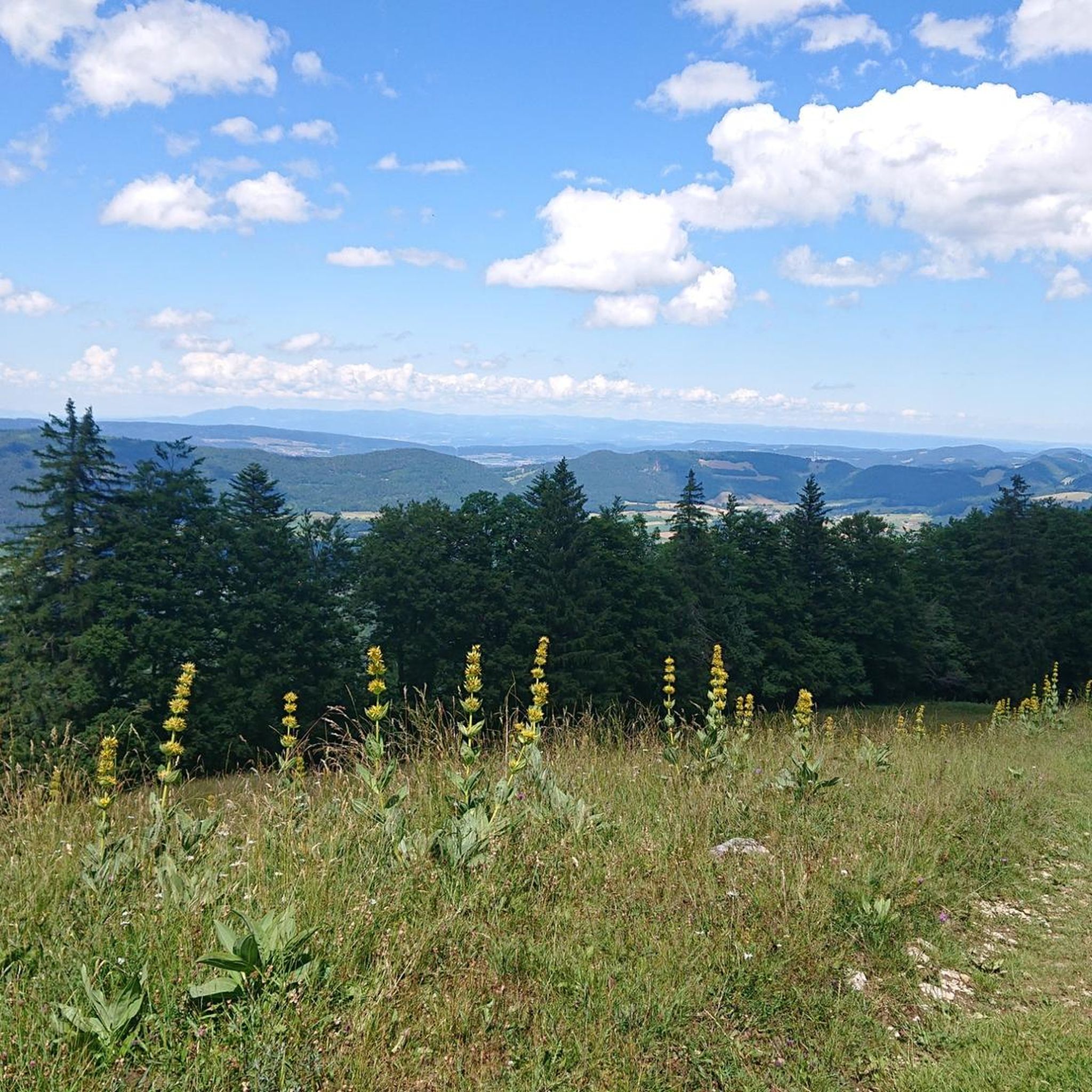
Mountaineering routes around Rebeuvelier are centered within the Jura Mountains, a region characterized by significant natural features and diverse landscapes. The area features the majestic Mont Raimeux, which at 1,303 meters (4,275 ft) is the highest point in the Canton of Jura. This terrain includes impressive steephead valleys, dramatic canyons, and extensive forests, providing varied challenges for mountaineers. Almost half of Rebeuvelier's area is forested, creating a mosaic of landscapes for exploration.
Best mountaineering routes around Rebeuvelier
- The most popular…
Last updated: July 8, 2026
5.0
(1)
8
hikers
7.86km
02:48
370m
370m
Hard mountaineering route. Good fitness required. Sure-footedness, sturdy shoes and alpine experience required.
5.0
(1)
8
hikers
10.3km
03:44
580m
580m
Moderate mountaineering route. Good fitness required. Mostly accessible paths. Sure-footedness required.

Sign up for free
2
hikers
4.93km
02:06
340m
340m
Moderate mountaineering route. Good fitness required. Mostly accessible paths. Sure-footedness required.
Our route recommendations are based on thousands of hikes, rides, and runs completed by other people on komoot.
Start today with a free account
Your next adventure awaits.
Login or Signup
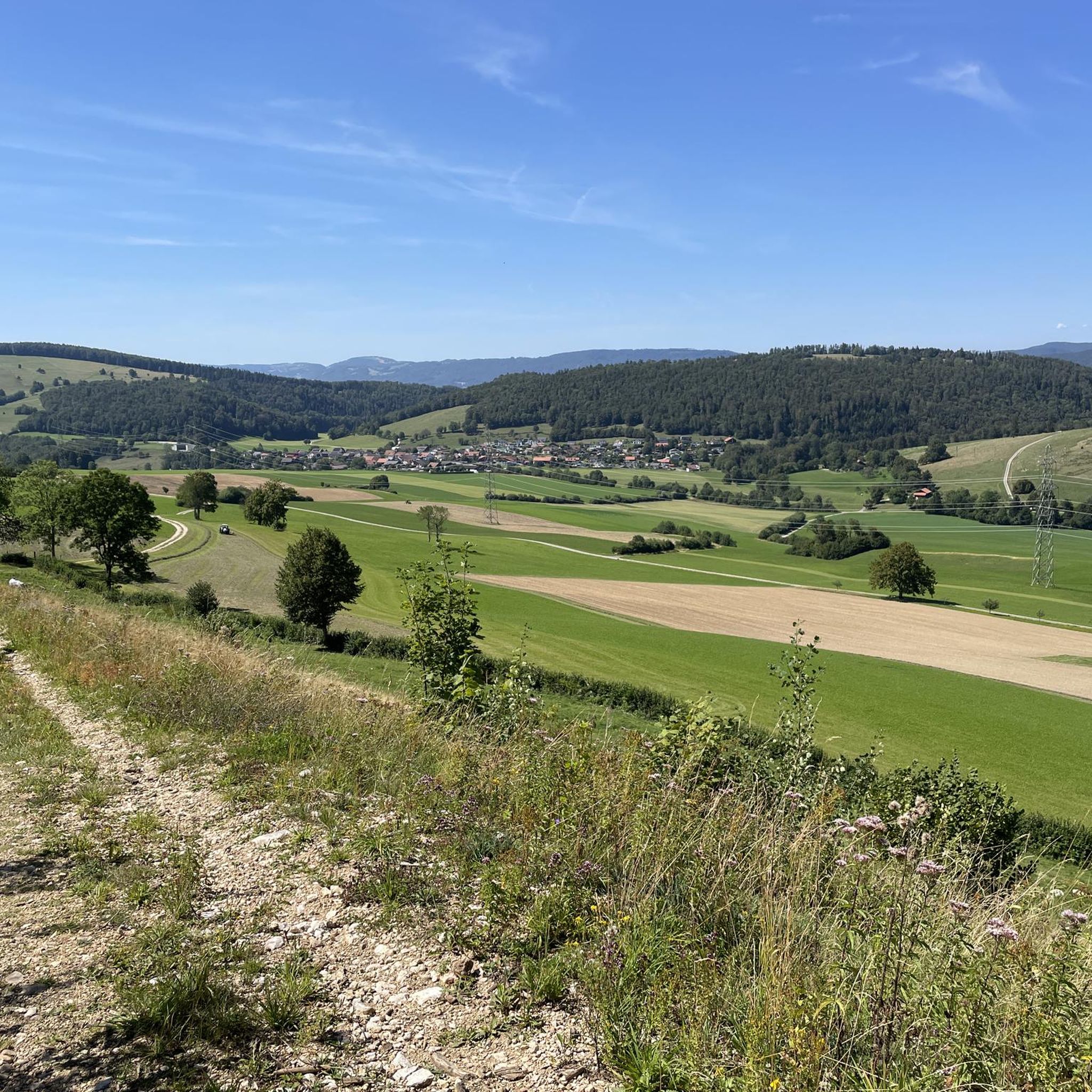
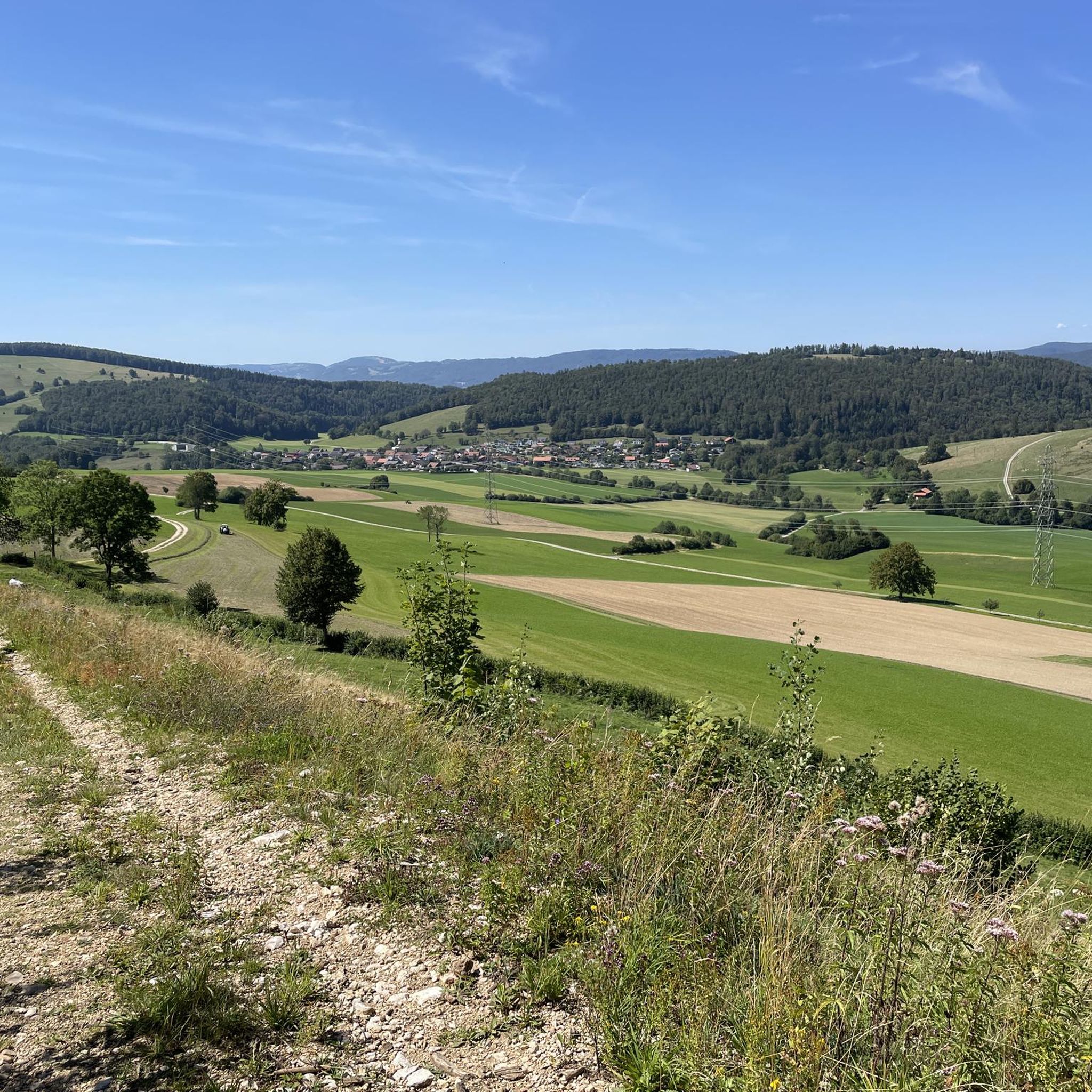
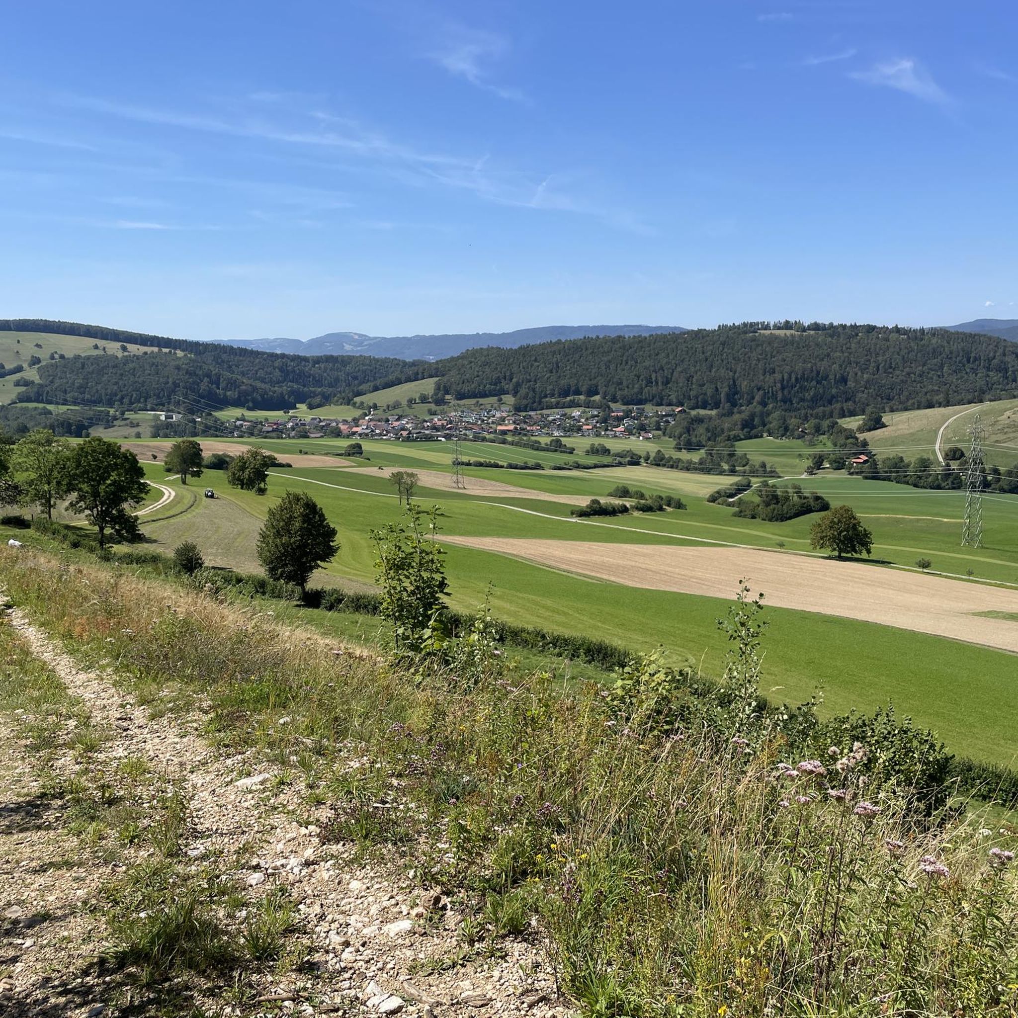
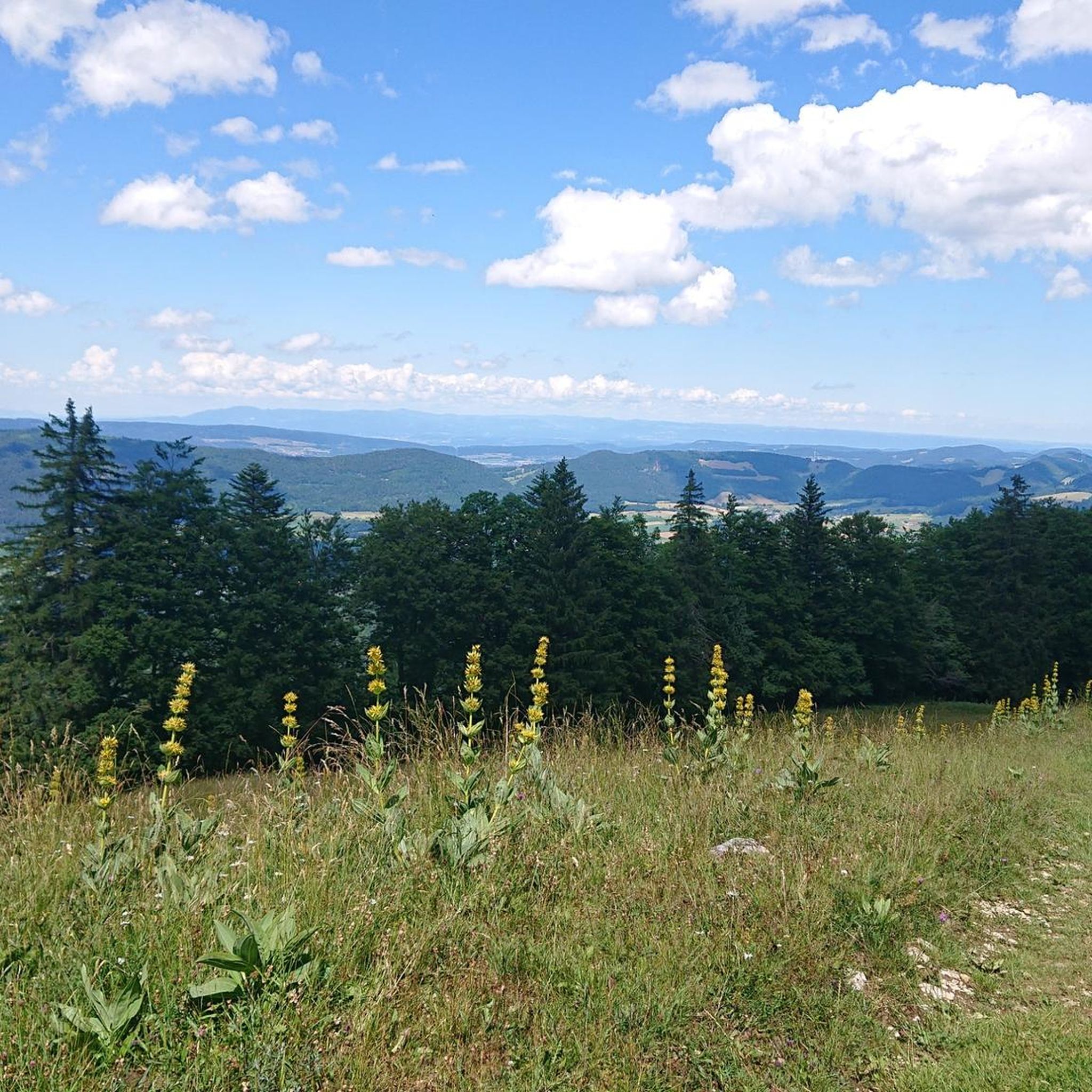
Tips from the Community

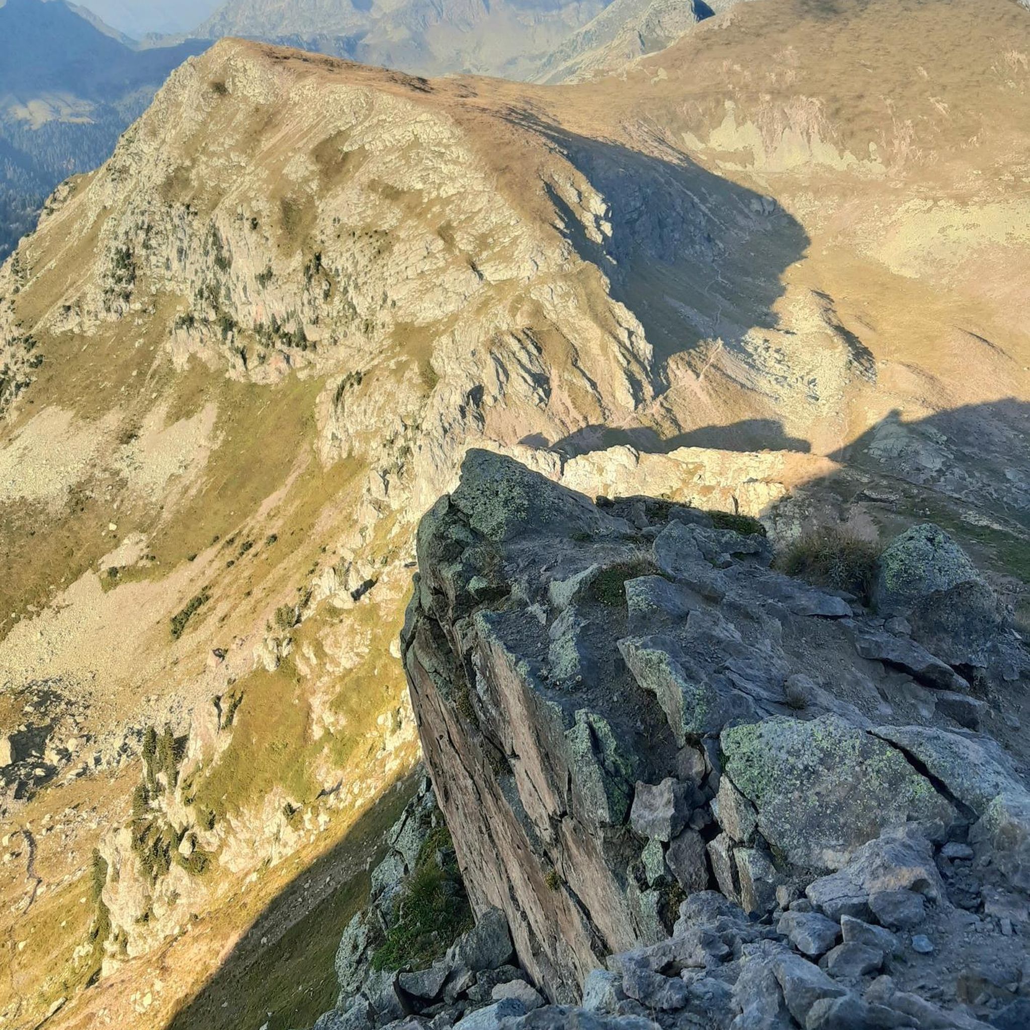
The Herrenloch is a cave with two entrances - a kind of tunnel - below the Balmfluechöpfli. It can be reached by trails both from the west ridge of the Balmfluechöpfli and as the end of the Hornpfad. The exit on the east side is reserved for the very experienced only; there has also been a fatal fall here. From the western entrance of the Herrenloch, you can also climb directly to the summit of the Balmfluechöpfli via trails.
0
0

pretty here, very very pretty. Worth a visit.
1
1
pretty here, very very pretty. Is worth a visit.
1
2


I reached the Herrenloch via the Hornpfad, which should only be walked uphill due to the danger of rockfall.
1
2
Frequently Asked Questions
What types of mountaineering routes can I find around Rebeuvelier?
The mountaineering routes around Rebeuvelier are primarily challenging mountain hikes within the Jura Mountains. You'll find a mix of moderate and difficult paths, often leading through extensive forests, dramatic steephead valleys, and offering ascents to high points with panoramic views. For example, the View from Balmfluehchöpfli – Röti Summit (1,395 m) loop from Balm b. Günsberg is a difficult route, while the Plateforme – Cabane des Gorges loop from Moutier offers a moderate challenge through varied terrain.
Are there any circular mountaineering routes in the area?
Yes, several mountaineering routes around Rebeuvelier are designed as loops, allowing you to start and end at the same point. A popular option is the Cholberg loop from Welschenrohr, which takes you through diverse Jura Mountain landscapes. Another is the Röti Summit (1,395 m) loop from Balm b. Günsberg, offering a moderate ascent.
What are the best viewpoints or scenic spots along the mountaineering trails?
The region is known for its breathtaking vistas. The ascent of Mont Raimeux, the highest point in the Canton of Jura, offers panoramic views across the canton and the Weissenstein range. Routes like the View from Balmfluehchöpfli – Röti Summit (1,395 m) loop from Balm b. Günsberg are specifically highlighted for their ascents to high points with panoramic views.
Are there any historical or cultural landmarks to see while mountaineering?
Yes, the area offers a blend of natural beauty and historical interest. Hidden within the forests on the other side of Mont Raimeux, you can find Raymontpierre Castle, which adds a touch of historical intrigue to the hiking routes.
What is the best season for mountaineering around Rebeuvelier?
The Jura Mountains offer diverse experiences throughout the year. While specific seasonal recommendations for mountaineering aren't provided, the region's extensive forests and varied terrain make it enjoyable in spring, summer, and autumn. Always check local weather conditions before heading out, especially for higher elevations.
Are there any waterfalls or gorges to explore near the mountaineering routes?
The wider Jura Mountains are characterized by an abundance of water features. You can find impressive steephead valleys and dramatic canyons. Specifically, the Gorges around Rebeuvelier guide highlights several natural wonders, including the Wolf Gorge, Gorges de Court, and a Waterfall in Gore Virat.
What do other mountaineers say about the routes in Rebeuvelier?
The mountaineering routes in Rebeuvelier are highly rated by the komoot community, with an average score of 5.0 stars from over 1 review. Mountaineers often praise the challenging ascents, the extensive forests, and the dramatic steephead valleys that define the region's unique landscape.
Are there options for less crowded mountaineering experiences?
While specific data on crowd levels isn't available, the diverse network of trails across the Jura Mountains and the extensive forested areas around Rebeuvelier suggest that it's possible to find quieter paths, especially outside of peak times or on less-trafficked routes. Exploring the broader Jura Mountain landscape beyond the most popular ascents can lead to more secluded experiences.
Can I find picnic spots along the trails?
Yes, for those planning a longer day out, picnic sites are available at Le Signal or Sur Les Barres on Mont Raimeux. These spots offer a perfect opportunity to rest and enjoy the panoramic views during your mountaineering adventure.
What are the main natural features that define the mountaineering experience in Rebeuvelier?
The mountaineering experience in Rebeuvelier is defined by the majestic Mont Raimeux, which is the highest point in the Canton of Jura. The broader Jura Mountains contribute with impressive steephead valleys, dramatic canyons, and fascinating geological curiosities. Almost half of Rebeuvelier's area is forested, creating a rich mosaic of landscapes for exploration.
How many mountaineering routes are covered in this guide?
This guide highlights four distinct mountaineering routes around Rebeuvelier, ranging from moderate to difficult. These routes offer a good representation of the diverse challenges and scenic beauty found in the Jura Mountains.
Most popular routes around Rebeuvelier
Most popular attractions around Rebeuvelier

Get inspired with the komoot mobile app


Explore more
Browse the best Mountain Hikes & Routes in other regions.
