The best mountain hikes around Val Terbi
5.0
(16)
85
hikers
12
hikes
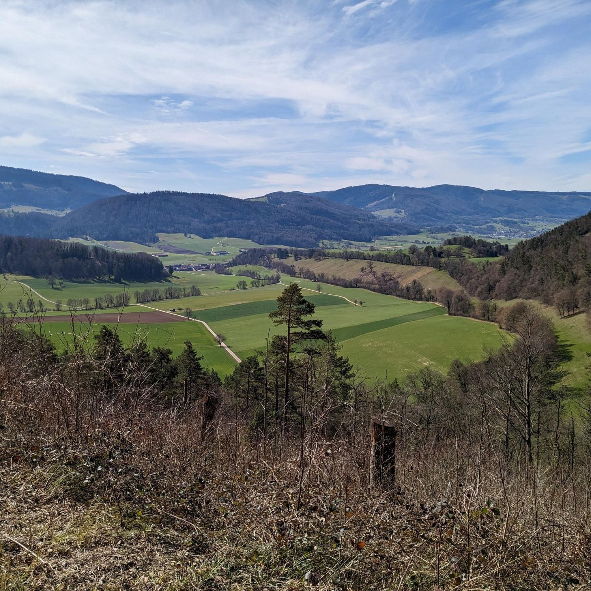
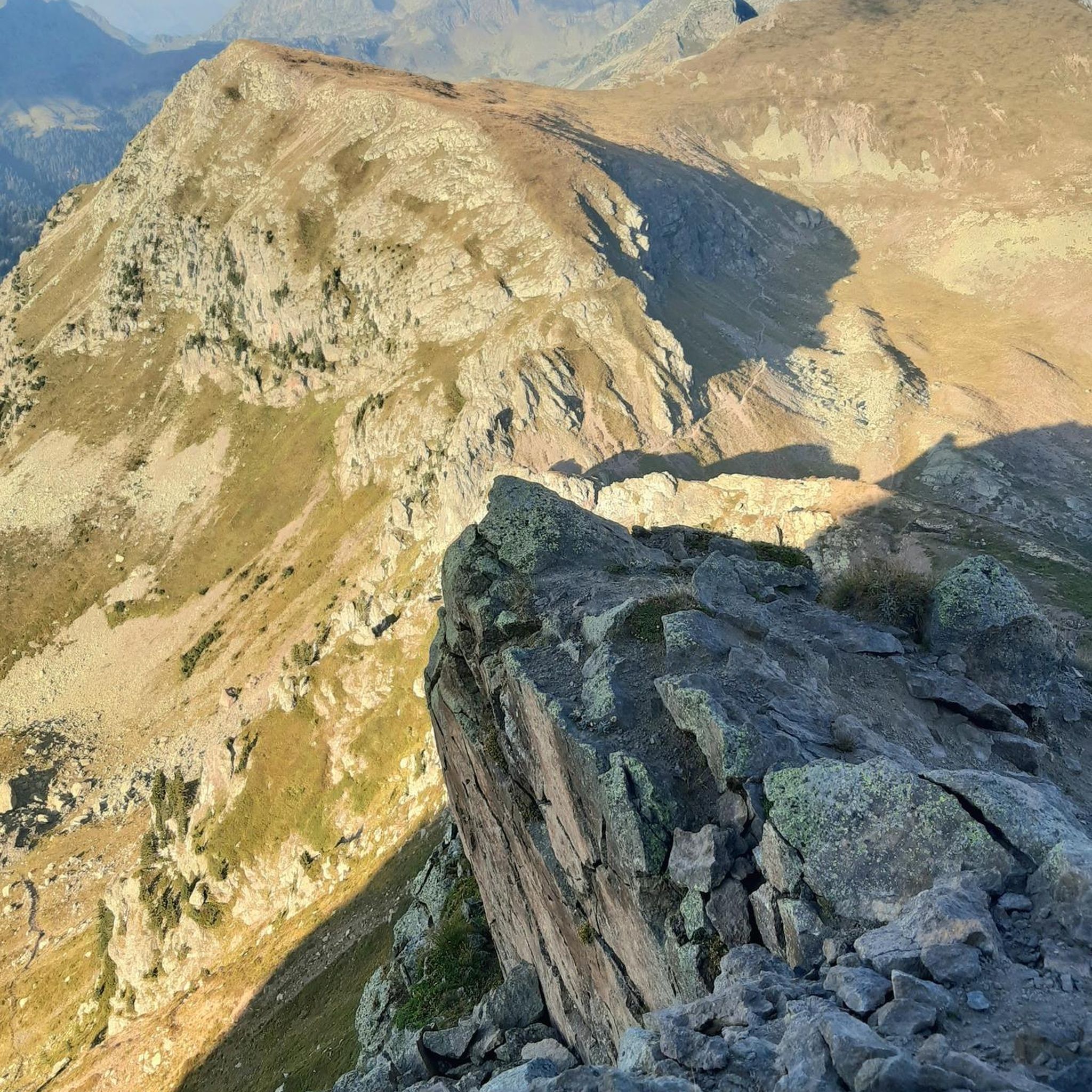
Mountaineering routes around Val Terbi traverse the varied terrain of the Jura mountains, characterized by limestone formations, dense forests, and elevated viewpoints. The region offers a mix of challenging ascents and scenic paths, providing opportunities to explore its natural features. Summits and ridges provide panoramic views across the landscape, while the lower slopes feature woodlands and valleys.
Best mountaineering routes around Val Terbi
- The most popular mountaineering route is Herrenloch Cave – View from Balmfluehchöpfli loop from Rüttenen, a…
Last updated: July 8, 2026
5.0
(3)
23
hikers
7.79km
03:44
650m
650m
Hard mountaineering route. Good fitness required. Sure-footedness, sturdy shoes and alpine experience required.
5.0
(2)
9
hikers
4.62km
03:03
540m
540m
Hard mountaineering route. Good fitness required. Sure-footedness, sturdy shoes and alpine experience required.

Sign up for free
7
hikers
7.52km
03:49
630m
620m
Hard mountaineering route. Good fitness required. Sure-footedness, sturdy shoes and alpine experience required.
5.0
(1)
8
hikers
7.60km
02:40
350m
350m
Moderate mountaineering route. Good fitness required. Mostly accessible paths. Sure-footedness required.
5.0
(2)
4
hikers
14.1km
06:04
900m
900m
Hard mountaineering route. Very good fitness required. Sure-footedness, sturdy shoes and alpine experience required.
Get access to more routes and recommendations from other explorers.
Sign up for free
Already have an account?
Our route recommendations are based on thousands of hikes, rides, and runs completed by other people on komoot.
Start today with a free account
Your next adventure awaits.
Login or Signup
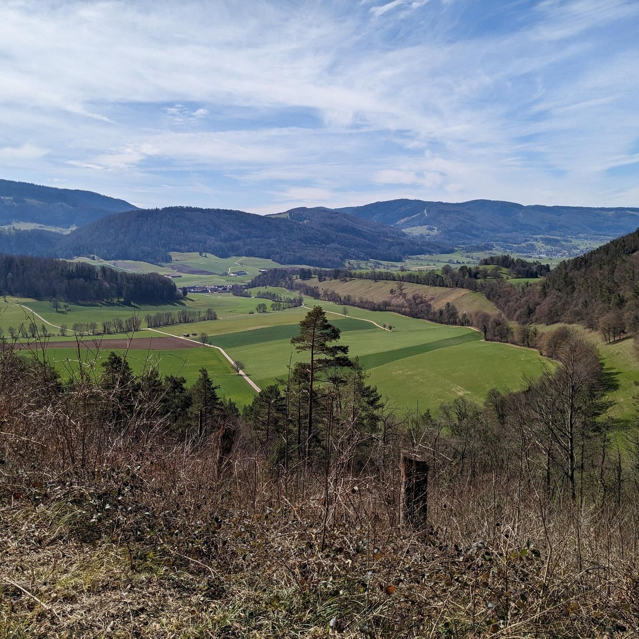
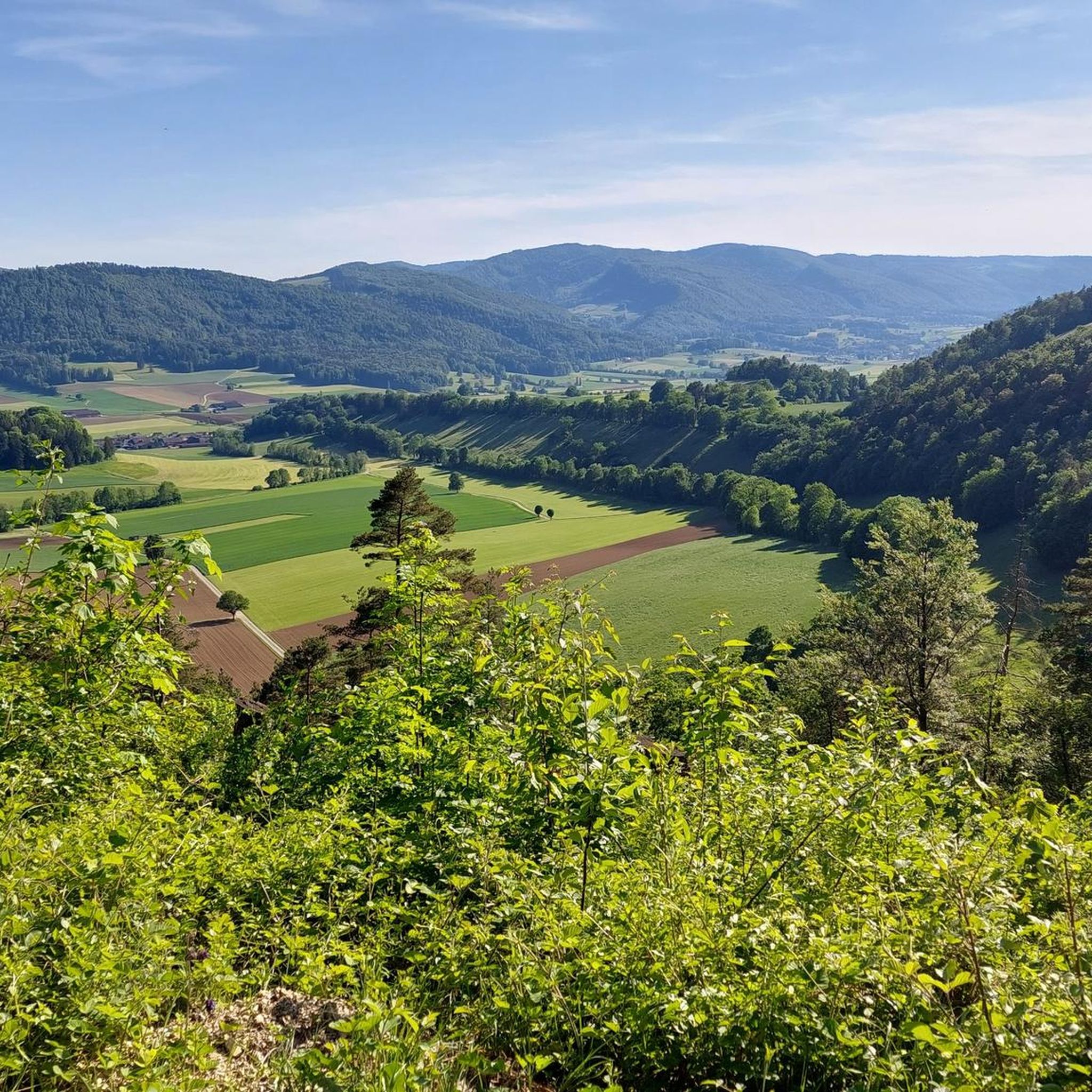
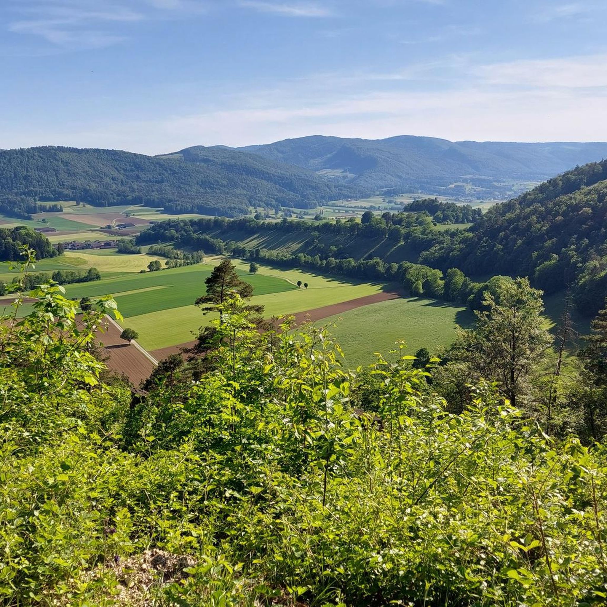
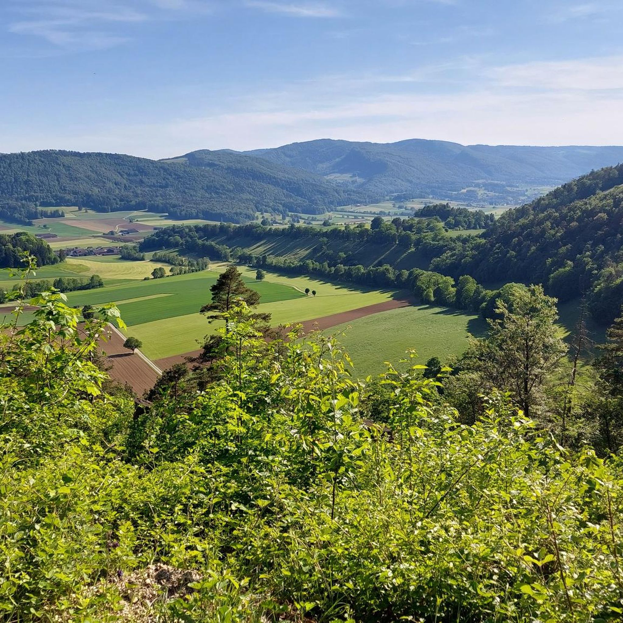
Tips from the Community

pretty here, very pretty
1
0

The Herrenloch is a cave with two entrances - a kind of tunnel - below the Balmfluechöpfli. It can be reached by trails both from the west ridge of the Balmfluechöpfli and as the end of the Hornpfad. The exit on the east side is reserved for the very experienced only; there has also been a fatal fall here. From the western entrance of the Herrenloch, you can also climb directly to the summit of the Balmfluechöpfli via trails.
0
0

wonderful and very beautiful area here
2
0
wonderful and very beautiful area here
3
0
pretty here, very pretty
0
2
Frequently Asked Questions
What is the general difficulty level of mountaineering routes in Val Terbi?
Mountaineering routes in Val Terbi are generally considered challenging. While there are 4 moderate routes available, the majority (9 out of 13) are rated as difficult, featuring significant elevation gains and varied terrain. For example, the Herrenloch Cave – View from Balmfluehchöpfli loop from Rüttenen involves over 630 meters of ascent.
Are there any circular mountaineering routes in Val Terbi?
Yes, all the mountaineering routes listed for Val Terbi are circular. This allows you to start and end your adventure at the same point, making logistics simpler. An example is the View from Balmfluehchöpfli – Herrenloch Cave loop from Balm b. Günsberg, which offers a complete loop experience.
What kind of terrain can I expect on mountaineering routes in Val Terbi?
The terrain in Val Terbi is characteristic of the Jura mountains, featuring limestone formations, dense forests, and elevated ridges. You'll encounter a mix of steep ascents, rocky paths, and forest trails, often leading to panoramic viewpoints. Routes like the View from Balmfluehchöpfli – Herrenloch Cave loop from Rüttenen showcase this varied mountain landscape.
What are some notable landmarks or attractions to see along the mountaineering routes?
Val Terbi's routes often pass by or offer views of interesting historical and natural sites. You might encounter historical ruins such as Balmfluh Castle Ruins or Balm Ruins. The region also features impressive natural gorges like Kaltbrunnental Gorge and the Verenaschlucht and Hermitage, which are worth exploring.
What is the best season for mountaineering in Val Terbi?
The ideal season for mountaineering in Val Terbi is typically from late spring through early autumn (May to October). During these months, the weather is generally more stable, and trails are free of snow and ice, making for safer and more enjoyable conditions. Always check local weather forecasts before heading out.
Are there any longer, more challenging mountaineering routes for experienced hikers?
Absolutely. For those seeking a significant challenge, the Gitziflue Viewpoint – Hasenmatt Summit Cross loop from Oberdorf SO is a demanding option. This route spans nearly 14 kilometers and involves close to 900 meters of elevation gain, offering a strenuous yet rewarding experience for seasoned mountaineers.
What do other mountaineers say about the routes in Val Terbi?
The mountaineering routes in Val Terbi are highly regarded by the komoot community, boasting an average rating of 5.0 stars from over 10 reviews. Users frequently praise the panoramic summit views, the quiet woodlands, and the well-maintained paths that characterize the region's trails.
Can I access the trailheads using public transport?
While specific public transport details for each trailhead are not provided, many villages in the Val Terbi region are served by local bus routes or are within reasonable distance of train stations. It's advisable to research the specific starting point of your chosen route and check local public transport schedules for the most up-to-date information.
Are there any waterfalls to see along the mountaineering trails?
Yes, the Val Terbi area is home to several beautiful waterfalls and gorges that can be explored. While not directly on every mountaineering route, nearby highlights include the Chastelbach Waterfall and the Waterfall in Gore Virat. These natural features add to the scenic beauty of the region.
What should I consider for winter mountaineering in Val Terbi?
Winter mountaineering in Val Terbi requires careful preparation due to potential snow and ice conditions, especially at higher elevations. Trails can become slippery and more challenging. Essential gear includes appropriate winter clothing, sturdy waterproof boots, and potentially microspikes or snowshoes depending on conditions. Always check local weather and trail reports before attempting winter ascents.
Are the mountaineering routes in Val Terbi suitable for dogs?
Many trails in the Jura region are generally dog-friendly, but it's always best to check specific route details and local regulations. Given the challenging nature of some Val Terbi routes, ensure your dog is fit for steep ascents and varied terrain. Keep dogs on a leash, especially in areas with wildlife or livestock, and carry enough water for both yourself and your pet.
Are there any routes that lead to prominent summits or high viewpoints?
Yes, many routes in Val Terbi are designed to lead to elevated viewpoints or summits offering expansive vistas. For instance, the View from Balmfluehchöpfli – Röti Summit (1,395 m) loop from Balm b. Günsberg takes you towards Röti Summit, providing high-altitude perspectives across the landscape.
Most popular routes around Val Terbi
Most popular attractions around Val Terbi

Get inspired with the komoot mobile app


Explore more
Browse the best Mountain Hikes & Routes in other regions.
