The best cycling routes around Zihlman
5.0
(9)
156
riders
6
rides
Touring cycling around Zihlman features routes characterized by varied terrain, including significant elevation changes and historical landmarks. The area's landscape includes sections that pass through tunnels and along former railway grades, offering unique cycling experiences. The routes often connect points of interest such as visitor centers and monuments, indicating a blend of natural and historical scenery. This region provides a challenging environment for touring cyclists, with several routes featuring substantial climbs.
Best touring cycling routes around Zihlman
- The most popular…
Last updated: July 2, 2026
5.0
(3)
24
riders
Moderate bike ride. Good fitness required. Mostly paved surfaces. Suitable for all skill levels.
5.0
(1)
26
riders
53.9km
03:49
520m
520m
Hard bike ride. Very good fitness required. Mostly paved surfaces. Suitable for all skill levels.

Sign up for free
12
riders
41.9km
03:24
500m
500m
Hard bike ride. Very good fitness required. Mostly paved surfaces. Suitable for all skill levels.
5.0
(1)
13
riders
88.4km
07:58
760m
760m
Hard bike ride. Very good fitness required. Mostly paved surfaces. Suitable for all skill levels.
12
riders
Hard bike ride. Very good fitness required. Mostly paved surfaces. Suitable for all skill levels.
Our route recommendations are based on thousands of hikes, rides, and runs completed by other people on komoot.
Start today with a free account
Your next adventure awaits.
Login or Signup
Popular around Zihlman
Other adventures around Zihlman

Tips from the Community

One of my favorites! Mostly flat and easy with some slightly uphill sections. Family friendly with wi-fi connectivity, food resupply and lodging/camping available (not too many options as the C&O is offering.... just plan ahead)
0
0

The Mason-Dixon Line Monument marks the historic boundary between the states of Maryland and Pennsylvania. Today, it is a scenic rest stop for hikers, featuring a granite obelisk, engraved blocks spelling "Mason & Dixon," and a replica of the surveyors' 66-foot chain. It is a great photo opportunity and Easily a must-see for history buffs.
1
0
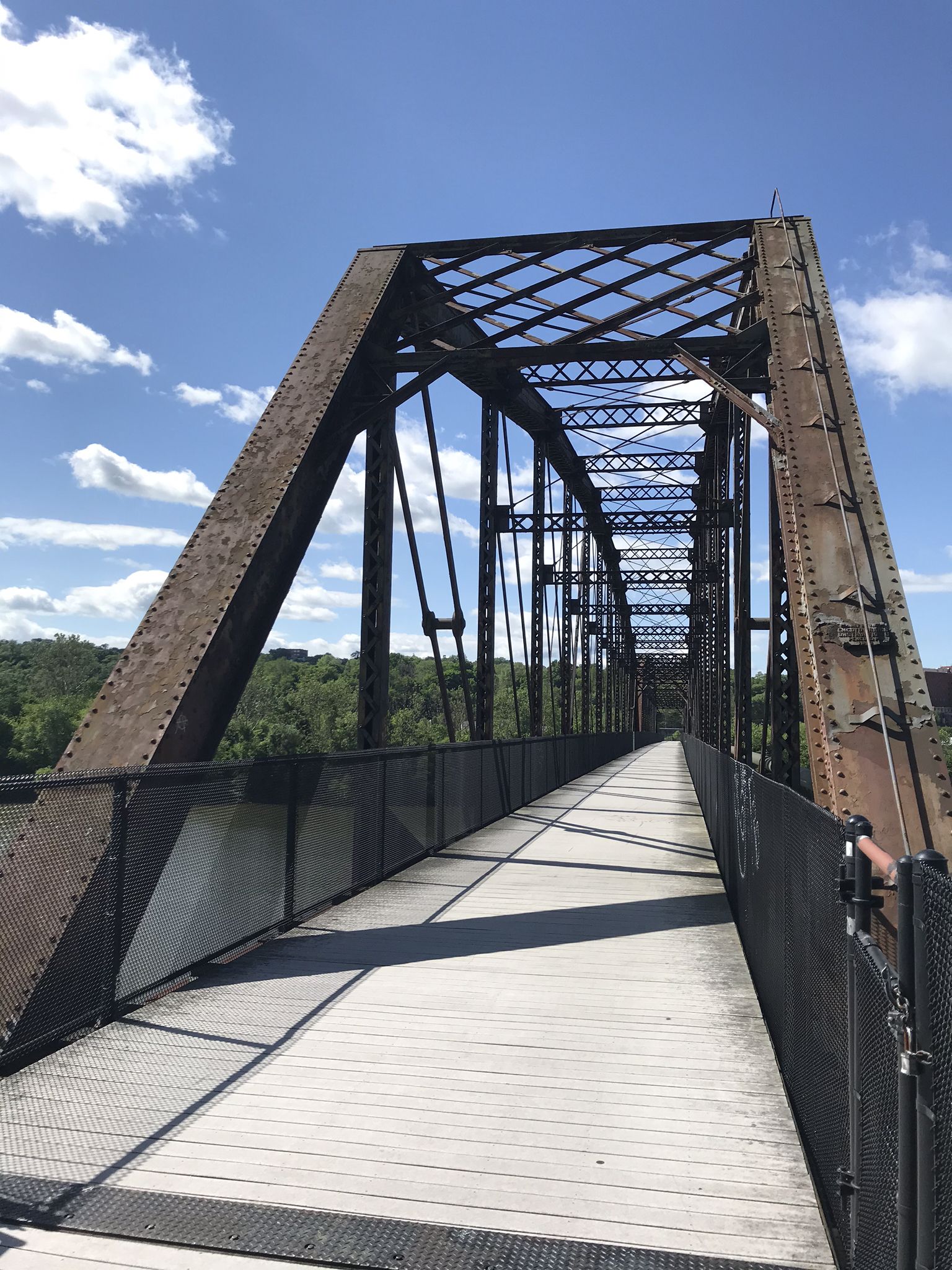
The Western Maryland Scenic Railroad crosses two historic girder bridges built by the Cumberland & Pennsylvania Railroad. Now part of the scenic route traveled by the Frostburg Flyer, these bridges show off iconic views of steam locomotives climbing the final stretch into town, which are popular among train photographers.
0
0
Northwest of Cumberland sits Mount Savage Historic District, a former industrial hub that is home to nearly 200 buildings and sites from the 19th and early 20th centuries. This area was once a booming hub for iron, coal, brick, and rail industries. Highlights include “Old Row,” a line of vertical-board duplexes built around 1840, which is listed in the National Register of Historic Places.
0
0

This is a flat primitive campsite with restrooms, grills, and picnic tables. The tracks are nearby so you can expect to hear trains periodically through the night.
0
0

The Trail Inn Lodging & Campground is a great place to stop as you are traveling along the GAP. There is food, camping, a hostel and private rooms.
0
0
The official Mile 0 of the Great Allegheny Passage is found in downtown Cumberland under the arch, next to the train station and connected to the northern terminus of the C&O Canal and Towpath. The town is well-connected, with Amtrak service and ample overnight parking.
0
0

Congratulations! You've reached the highest point in the Great Allegheny Passage, which runs from Pittsburgh, Pennsylvania to Cumberland, Maryland. The Eastern Continental Divide marks a stark divide between two watersheds: To your east, the waterways drain (eventually) into the Atlantic Ocean. The waters to your west funnel toward the Gulf of Mexico.
0
0
Frequently Asked Questions
What is the general difficulty level of touring cycling routes in Zihlman?
Touring cycling around Zihlman is characterized by challenging terrain. Out of the 5 available routes, 4 are rated as difficult, and 1 is moderate. This indicates that most routes feature significant climbs and elevation changes, providing a demanding experience for cyclists.
Are there any beginner-friendly touring cycling routes in Zihlman?
While most routes in Zihlman are rated as difficult, there is one moderate route that might be more suitable for those looking for a less intense ride. The Frostburg Trailhead loop from Georges Creek is 19.1 miles long with 220 meters of elevation gain, offering a good option for those building up their endurance.
What kind of scenery and landmarks can I expect to see along touring cycling routes in Zihlman?
The routes in Zihlman offer a blend of natural and historical scenery. You can expect to pass through tunnels, along former railway grades, and encounter significant landmarks. Notable attractions include the Mason-Dixon Line Monument, the Big Savage Tunnel, and the Helmstetter’s Curve. Many routes also connect to trailheads like the Frostburg Trailhead.
Are there many circular touring cycling routes available in Zihlman?
Yes, all the touring cycling routes listed for Zihlman are designed as loops. This means you can start and finish your ride at the same point, making logistics simpler. Examples include the Meyersdale Visitors Center – Mason-Dixon Line Monument loop from WMSR- Frostburg and the Big Savage Tunnel – Mason-Dixon Line Monument loop from Mount Savage.
What do other touring cyclists enjoy the most about touring cycling in Zihlman?
The touring cycling experience in Zihlman is highly rated by the komoot community, with an average score of 5.0 stars from over 7 reviews. Cyclists frequently praise the challenging ascents, the unique experience of riding through former railway infrastructure, and the historical landmarks encountered along the way.
Which routes are particularly challenging for advanced touring cyclists?
For advanced touring cyclists seeking a significant challenge, the Frostburg Trailhead – Helmstetter’s Curve loop from WMSR- Frostburg stands out. This route is 83.3 km long and features over 760 meters of elevation gain, often taking around 7 hours to complete. Another demanding option is the Mason-Dixon Line Monument – Big Savage Tunnel loop from Saint Mary Catholic Church, which also includes substantial climbs.
What is the best time of year to go touring cycling in Zihlman?
Given the significant elevation changes and potential for varied weather, spring and fall generally offer the most pleasant conditions for touring cycling in Zihlman. Temperatures are typically milder, and the natural scenery is vibrant. Summer can be enjoyable, but be prepared for warmer temperatures, especially on climbs. Winter cycling may be possible but could involve colder weather and potential snow or ice, particularly at higher elevations or in tunnels.
Are there any specific highlights or points of interest that are frequently included in Zihlman's touring routes?
Yes, several key highlights are integral to the touring cycling experience in Zihlman. The Mason-Dixon Line Monument and the Big Savage Tunnel are frequently featured. The Eastern Continental Divide is another significant point of interest that cyclists may encounter, offering a unique geographical landmark.
How long do the touring cycling routes in Zihlman typically take to complete?
The duration of touring cycling routes in Zihlman varies depending on the route's length and difficulty. For example, the moderate Frostburg Trailhead loop from Georges Creek can be completed in about 1 hour 52 minutes. More challenging routes, such as the Meyersdale Visitors Center – Mason-Dixon Line Monument loop from WMSR- Frostburg, typically take around 3 hours 48 minutes, while the longest route, Frostburg Trailhead – Helmstetter’s Curve loop from WMSR- Frostburg, can take over 7 hours.
What should I wear for touring cycling in Zihlman?
Given the varied terrain and potential for significant elevation changes, it's advisable to wear appropriate cycling gear that can handle different conditions. Layers are recommended, as temperatures can change, especially when climbing or descending. Padded shorts, a moisture-wicking base layer, and a windproof/water-resistant outer layer are generally good choices. Always bring a helmet and consider gloves for comfort and safety.
Are there any specific safety considerations for touring cycling in Zihlman?
The routes in Zihlman often feature significant elevation changes and passages through tunnels, such as the Big Savage Tunnel. It's crucial to ensure your bike is in good working order, especially your brakes. Carrying lights is highly recommended for tunnels, even during the day. Always be aware of your surroundings and any local regulations, particularly when sharing paths or roads.
Most popular attractions around Zihlman

Get inspired with the komoot mobile app


Explore more
Browse the best Cycling routes in other regions.
