The best running trails around Cherry Grove
1.0
(1)
40
runners
7
runs
Jogging routes around Cherry Grove offer a diverse landscape for outdoor enthusiasts. The area features expansive sandy beaches, ideal for oceanfront running, alongside serene tidal salt marshes and the Intracoastal Waterway. Dedicated nature preserves like Heritage Shores Nature Preserve and Russell Burgess Coastal Preserve provide trails through marshlands and lush greenery. This blend of coastal and marsh environments creates varied terrain for runners.
Best jogging routes around Cherry Grove
- The most popular jogging route is Lewisville Park Trail loop,…
Last updated: November 10, 2026
8
runners
4.01km
00:29
20m
20m
3.94km
00:29
50m
50m

5
runners
4.83km
00:36
80m
80m
Easy run. Mostly paved surfaces.
6
runners
21.1km
02:14
150m
150m
Hard run. Very good fitness required. Mostly paved surfaces.
1.0
(1)
10
runners
9.45km
00:59
60m
60m
Moderate run. Good fitness required. Mostly paved surfaces.
Get access to more routes and recommendations from other explorers.
Already have an account?
Our route recommendations are based on thousands of hikes, rides, and runs completed by other people on komoot.
Start today with a free account
Your next adventure awaits.
Popular around Cherry Grove


Tips from the Community

Take a break at the East Fork Louis River; this area is a beach with picnic tables close to and even in the water. It is the perfect spot to cool down in the summer heat! The East Fork Louis River stretches 43 miles and is home to fall chinook, winter and summer steelhead, coho, and five native salmonid species.
0
0
Lewisville Park is a 154-acre regional park on the East Fork Lewis River. It was listed on the National Register of Historic Places in 1986 and draws in hikers and runners with a wide trail that winds through a picturesque forest of Douglas-firs, big-leaf maples, vine maples, and sword ferns.
0
0
Battle Ground Lake State Park spans 280 acres of forested land. The volcanic lake is a smaller version of Oregon's Crater Lake. The name came after an anticipated battle that never occurred in 1855 between U.S. Army soldiers and Klickitat Indians. The park features a boat launch, cabins, campsites, a ranger station, restrooms, and more. Visitors can enjoy boating, equestrian activities, fishing, scuba diving, swimming, and wildlife viewing.
0
0
Battle Ground Lake is circumnavigated by the Lower Lake Trail. It is a lake that was once rumored to be a "bottomless lake." This is untrue, but the lake is 60 feet deep at its deepest point, which is quite deep for such a small lake. It is spring-fed and open to swimmers, paddlers, and anglers.
0
0
Salmon Creek Regional Park and Pond lie at the east end of the paved Salmon Creek Greenway. Though located in an urban setting, the park has 35 acres of developed parkland and 368 acres of undeveloped green space, providing habitat for rabbits, deer, turtles, and beavers.
0
0
The 3.9-mile Salmon Creek Greenway has an asphalt surface and is open to biking, wheelchair access, horseback riding, walking, and running. The trail extends from Salmon Creek Park to the Felida Bridge at NW 36th Avenue. As the trail reaches the park, it winds around the softball fields and to Klineline Pond. The route offers a mix of tree-lined sections and scenic open areas, giving visitors a sense of being far from the city.
0
0

Enjoy both nature and city views while walking along Salmon Creek's lush forest trails in Salmon Creek Park.
0
0
Turtle Ponds offers a tranquil escape with diverse wildlife along Salmon Creek's rushing waters.
0
0
Frequently Asked Questions
How many running routes are available in Cherry Grove?
There are 6 running routes around Cherry Grove featured in this guide. These include a mix of easy, moderate, and difficult paths, offering options for various fitness levels.
What are the different difficulty levels for running trails in Cherry Grove?
Cherry Grove offers a variety of running routes suitable for different fitness levels. You'll find 3 easy routes, 2 moderate routes, and 1 difficult route, providing options for beginners to experienced runners.
Are there family-friendly running routes in Cherry Grove?
Yes, Cherry Grove has several easy running routes perfect for families. For instance, the Lewisville Park Trail loop is an easy 2.5-mile path with a gentle elevation gain, ideal for a family outing. Another great option is the Lower Lake Trail, an easy 2.4-mile route.
What kind of landscapes can I expect on running routes in Cherry Grove?
Running routes in Cherry Grove offer a diverse range of landscapes. You can experience expansive sandy beaches, serene tidal salt marshes, and trails winding through lush greenery in dedicated nature preserves like Heritage Shores Nature Preserve and Russell Burgess Coastal Preserve. The area also features views of the Intracoastal Waterway.
Are there any circular running routes in Cherry Grove?
Yes, several routes in Cherry Grove are circular, allowing you to start and end at the same point. Examples include the Lewisville Park Trail loop and the Running loop from Battle Ground Lake State Park, both offering convenient circular paths.
What are some notable landmarks or points of interest I might see while running in Cherry Grove?
While running in Cherry Grove, you might encounter several interesting landmarks and natural features. The iconic Cherry Grove Pier extends nearly 1000 feet into the Atlantic, offering scenic views. You can also explore the tranquil Heritage Shores Nature Preserve with its boardwalks over marshlands, or the Russell Burgess Coastal Preserve, known for its native flora and fauna. The expansive sandy beaches themselves are a major attraction.
What is the longest running route available in this guide for Cherry Grove?
The longest running route featured in this guide is the Turtle Ponds – Salmon Creek Regional Park loop from Mount Vista. This challenging route spans approximately 13.1 miles (21.1 km) and involves a significant elevation gain, typically taking around 2 hours and 13 minutes to complete.
What do other runners enjoy most about jogging in Cherry Grove?
Over 29 runners have used komoot to explore Cherry Grove's varied terrain. They often praise the diverse options, from oceanfront beach runs to peaceful marshland trails, and the opportunity to experience the unique blend of coastal and natural preserve environments.
Are there any running routes that offer views of the ocean or waterways?
Absolutely. Cherry Grove is known for its coastal charm. Many routes offer stunning views of the Atlantic Ocean, especially those along the expansive sandy beaches. You'll also find paths that provide serene vistas of the tidal salt marshes and the Intracoastal Waterway, such as those found in Heritage Shores Nature Preserve.
What is a good running route for beginners in Cherry Grove?
For beginners, the Lewisville Park Trail loop is an excellent choice. It's an easy 2.5-mile (4.0 km) route with a gentle 74-foot (22-meter) elevation gain, typically completed in about 29 minutes. Another easy option is the Lower Lake Trail, which is 2.4 miles (3.9 km) long.
Can I find routes that are more challenging for experienced runners?
Yes, for experienced runners seeking a challenge, the Turtle Ponds – Salmon Creek Regional Park loop from Mount Vista is classified as difficult. This route covers over 13 miles (21 km) with notable elevation changes, providing a more strenuous workout.
What kind of wildlife might I encounter on the running trails in Cherry Grove?
Cherry Grove's diverse ecosystems are home to various wildlife. While running, especially in marshland areas like Heritage Shores Nature Preserve or along the Intracoastal Waterway, you might spot local flora and fauna, including different bird species, sea turtles, and even bottlenose dolphins. The preserves are particularly good for birdwatching.
Most popular routes around Cherry Grove
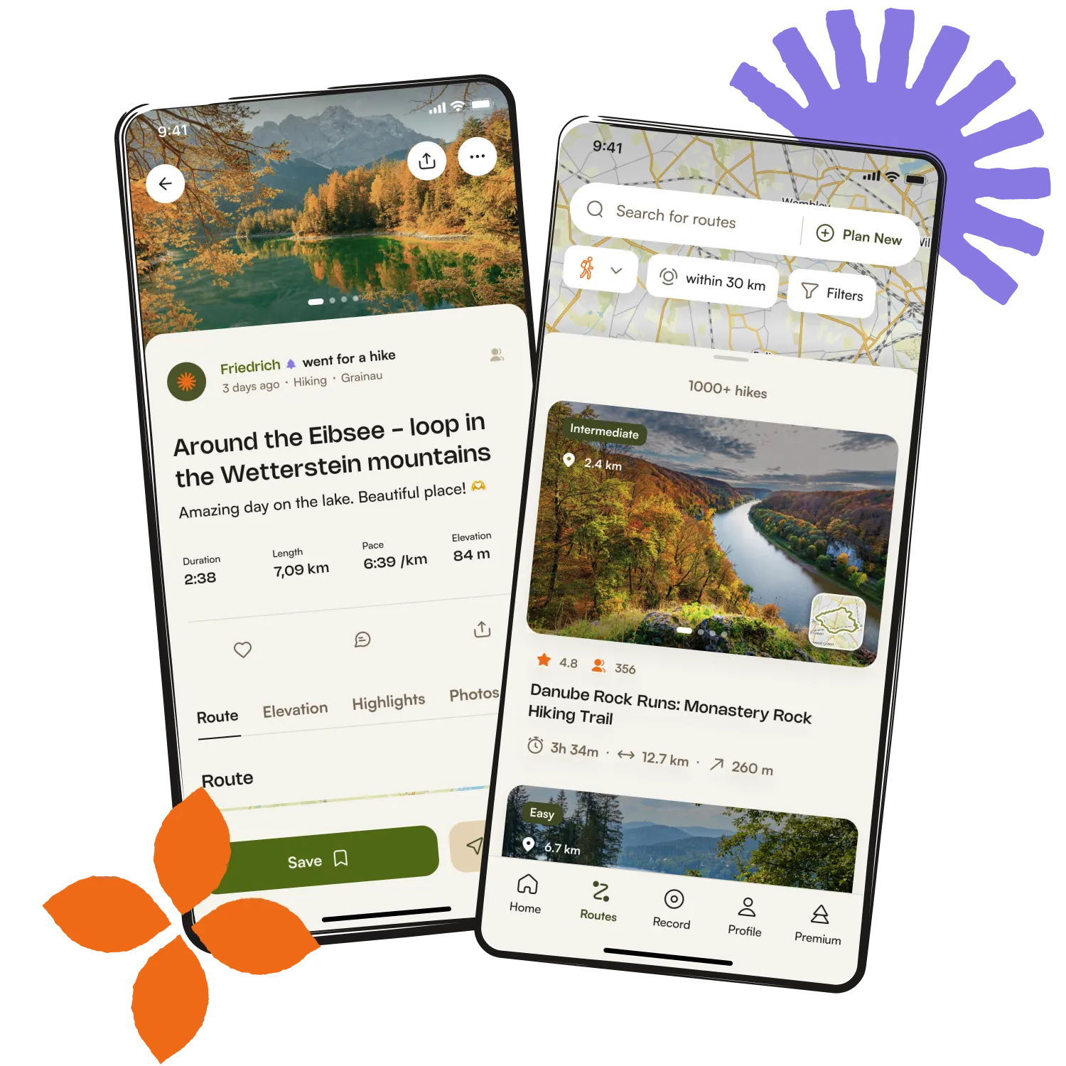
Get inspired with the komoot mobile app


Explore more
Browse the best Running Trails & Routes in other regions.