The best running trails in Vargas Island Provincial Park
5.0
(5)
219
runners
8
runs
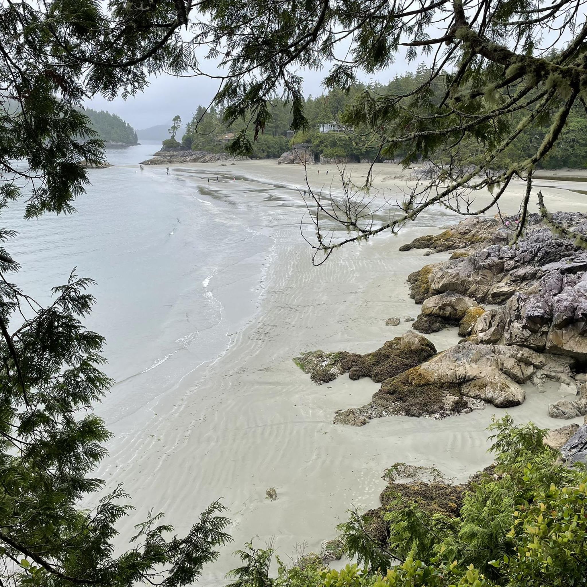
Jogging in Vargas Island Provincial Park offers a diverse landscape for runners, characterized by expansive sandy beaches, temperate rainforests, and bogs. The region features varied terrain, including exposed rocky coasts, sheltered channels, and bays, providing dynamic environments for runs of different intensities. These natural features contribute to a varied and picturesque backdrop for outdoor activities. The park's interior offers a different running experience through lush greenery, with some trails providing a more rugged and immersive nature experience.
Best jogging routes…
Last updated: October 8, 2026
27
runners
11.0km
01:10
60m
60m
Moderate run. Good fitness required. Mostly paved surfaces. Suitable for all skill levels.
5.0
(1)
54
runners
8.69km
00:55
60m
60m
Moderate run. Good fitness required. Mostly paved surfaces. Suitable for all skill levels.

5.0
(1)
59
runners
11.1km
01:11
70m
70m
Moderate run. Good fitness required. Mostly paved surfaces. Suitable for all skill levels.
5.0
(2)
28
runners
5.81km
00:38
40m
40m
Moderate run. Good fitness required. Mostly paved surfaces. Suitable for all skill levels.
4.0
(1)
15
runners
8.20km
00:52
40m
40m
Moderate run. Good fitness required. Mostly paved surfaces. Suitable for all skill levels.
Get access to more routes and recommendations from other explorers.
Already have an account?
Our route recommendations are based on thousands of hikes, rides, and runs completed by other people on komoot.
Start today with a free account
Your next adventure awaits.
Popular around Vargas Island Provincial Park
Tips from the Community


Such a shame. Not every change is positive. Thanks for your update.
0
0

Third Beach is a hidden sandy beach; access is via the Tonquin Trail.
2
0
The Tonquin Trail Connector, opened in March 2014, has been partially widened to a gravel road. Residential construction plans are expected in the upper section; the trail is not recommended. (May 17, 2025)
0
0
Middle Beach is located at the southern end of the Tonquin Trail. Additional access to this beach is via MacKenzie Beach Road and the Middle Beach Trail. However, there is no parking available at the trailhead.
2
0

Trail connector closed - updated October 12th 2023
1
2
Frequently Asked Questions
How many running routes are available in Vargas Island Provincial Park?
Vargas Island Provincial Park offers a selection of 10 running routes, catering to various preferences. Most of these routes are rated as moderate, with one challenging option for experienced runners.
What kind of terrain can I expect on the running trails in Vargas Island Provincial Park?
Runners in Vargas Island Provincial Park will encounter a diverse range of terrain. You can expect expansive sandy beaches, particularly Ahous Beach, as well as trails winding through temperate rainforests and bogs. The park also features exposed rocky coasts and sheltered bays, providing a varied and picturesque backdrop for your run.
Are there any family-friendly jogging routes in Vargas Island Provincial Park?
While Vargas Island Provincial Park offers a wilderness experience, the Middle Beach, Tofino – Third Beach loop from Tofino is a shorter, moderate option at 5.7 miles (9.2 km) that might be suitable for families looking for a less strenuous run. Always consider the fitness levels of all participants, as the park's trails can be rugged.
Can I bring my dog on the running trails in Vargas Island Provincial Park?
Vargas Island Provincial Park is generally dog-friendly, but it's crucial to keep your dog on a leash at all times to protect wildlife and ensure the safety of other visitors. Always pack out any waste. For specific park regulations regarding pets, it's best to check official park signage upon arrival.
What are some notable natural features or landmarks I might see while jogging?
While jogging, you might encounter unique ancient sand berms along the historic Telegraph Trail, which are crescent-shaped sand mounds indicating past sea levels. The park's diverse coastlines, including sandy beaches and rocky shores, offer stunning ocean views. You may also experience the lush temperate rainforests and bogs that characterize the island's interior.
What do other runners enjoy most about jogging in Vargas Island Provincial Park?
The running routes in Vargas Island Provincial Park are highly rated by the komoot community, with an average score of 5.0 stars from over 3 reviews. Runners often praise the diverse landscapes, from sandy beaches to rainforests, and the immersive wilderness experience the park offers.
Are there any loop trails available for running?
Yes, many of the running routes in Vargas Island Provincial Park are designed as loops. For example, the popular Mushroom Island – MacKenzie Beach loop from Tofino is an 8.1-mile (13.1 km) trail offering coastal views and varied terrain. Another option is the Tonquin Trail Connector loop from Tofino, a moderate 9.2-mile (14.8 km) path.
What is the best time of year for running in Vargas Island Provincial Park?
The best time for running in Vargas Island Provincial Park generally aligns with milder weather. Spring and fall offer pleasant temperatures, though conditions can be rugged and wet year-round due to the temperate rainforest climate. Always be prepared for changing weather and muddy trails, especially in the interior.
Are there any challenging running routes for experienced runners?
Yes, for experienced runners seeking a greater challenge, Vargas Island Provincial Park offers one route specifically rated as difficult. While the specific name isn't highlighted, this route will provide a more rugged and immersive experience through the park's varied terrain, which can include unmaintained, muddy, and slippery sections.
Where can I find parking or public transport access for these running routes?
Vargas Island Provincial Park is a wilderness area with limited facilities. Access to the island is typically by boat from Tofino. Therefore, parking and public transport options would be available in Tofino itself, from where you would arrange transport to the park. There are no direct parking lots within the park for the running routes.
What should I wear or bring for a run in Vargas Island Provincial Park?
Given the park's rugged and often wet conditions, it's advisable to wear appropriate gear. This includes waterproof or water-resistant layers, sturdy trail running shoes with good grip, and essentials like water, snacks, and navigation tools. Be prepared for muddy and slippery sections, especially in the rainforest and bog areas.
Are there opportunities for wildlife spotting while running?
Yes, Vargas Island is renowned for its exceptional wildlife. Joggers might spot gray whales migrating through the offshore waters, particularly around Ahous Bay in the spring. The park is also home to diverse nesting seabird colonies, though access to sensitive areas like Cleland Island Ecological Reserve is prohibited to protect these species.
How long do the running routes typically take to complete?
The duration of running routes varies depending on the distance and your pace. For instance, the Tinwis loop from Tofino, at 5.2 miles (8.4 km), can be completed in about 52 minutes. Longer routes like the Middle Beach, Tofino loop from Mikes Island, which is 11.5 miles (18.5 km), would take approximately 1 hour and 13 minutes.
Most popular routes in Vargas Island Provincial Park

Get inspired with the komoot mobile app


Explore more
Browse the best Running Trails & Routes in other regions.
