The best mountain hikes around Bad Zell
5.0
(2)
14
hikers
3
hikes
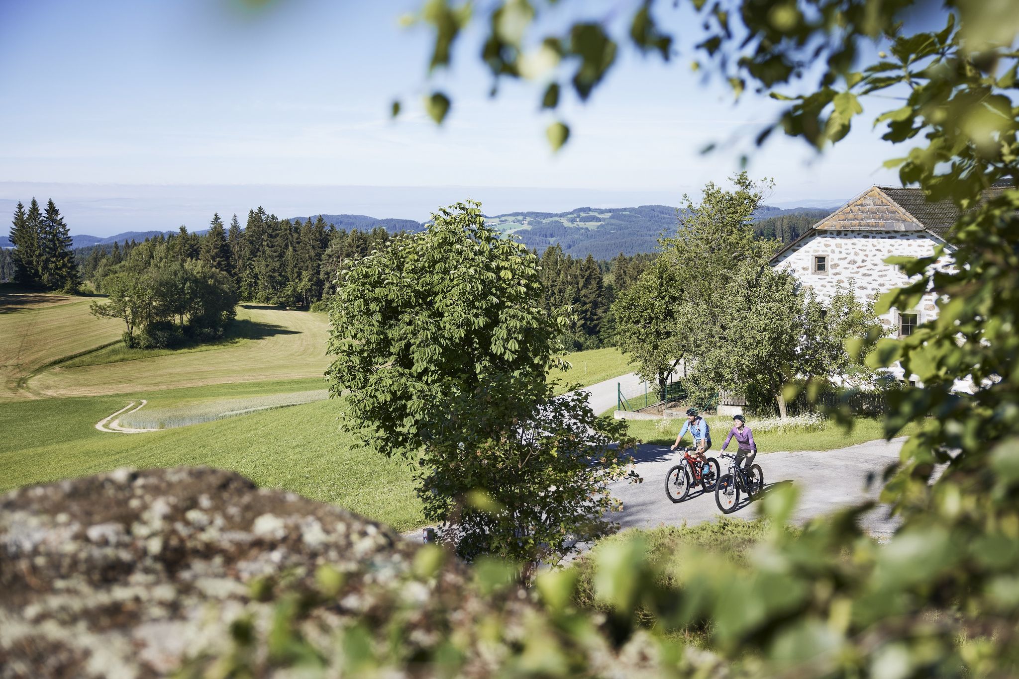
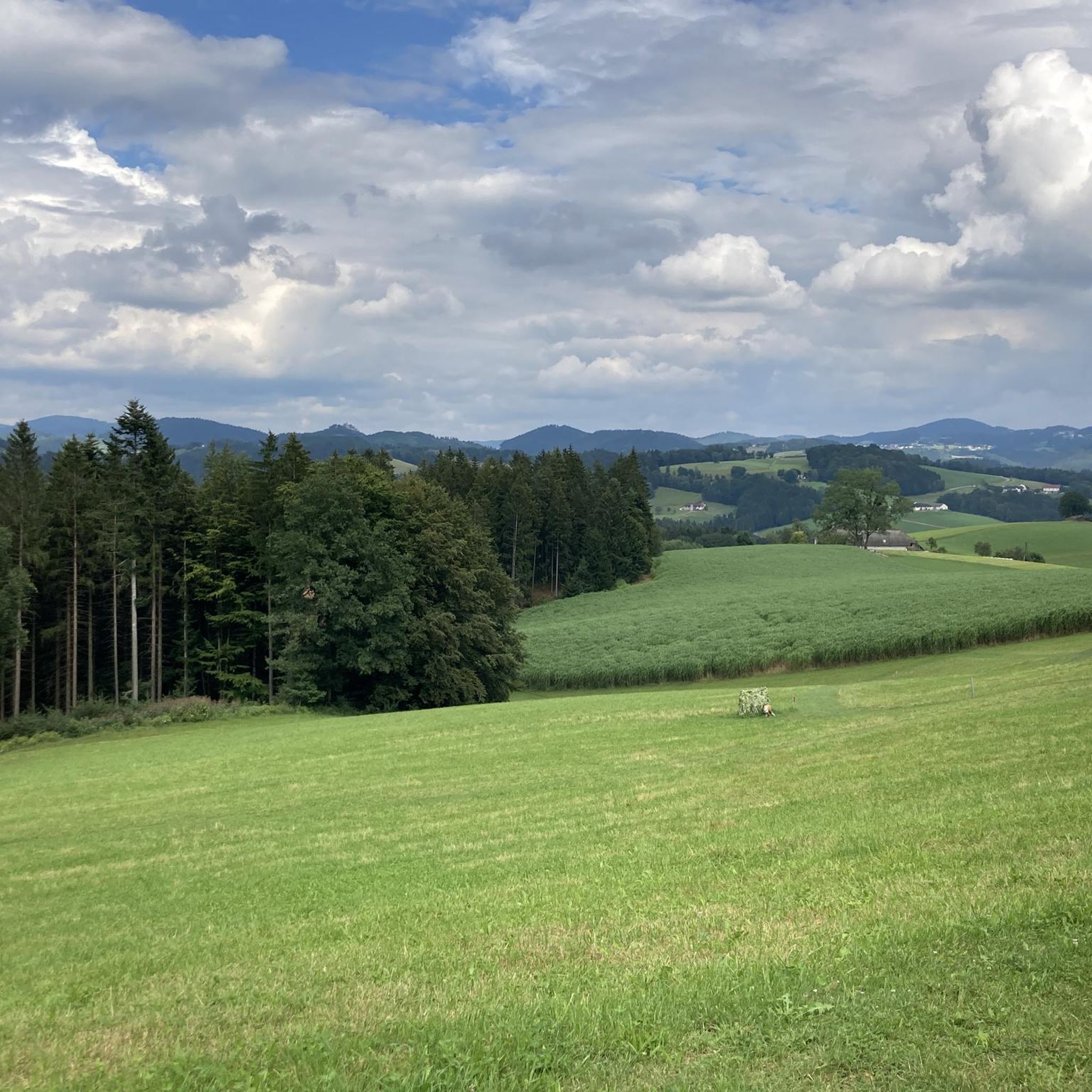
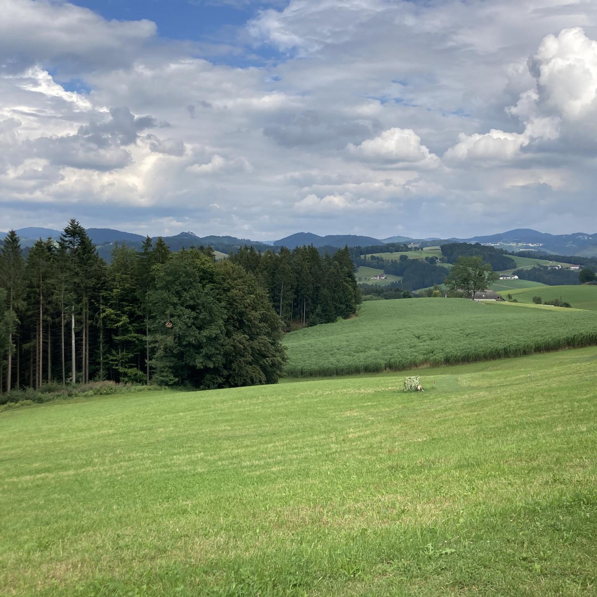
Mountaineering routes around Bad Zell are characterized by the distinctive granite landscape of the Mühlviertel region, featuring undulating hills, extensive forests, and clear streams. The terrain includes striking granite formations and massif boulders, providing varied challenges for outdoor enthusiasts. This area offers a network of trails that navigate through diverse natural environments, with elevation gains that can reach up to 3,000 feet on some routes. The region's natural beauty is preserved within the Mühlviertel Nature Park, ensuring a tranquil setting…
Last updated: July 6, 2026
5
hikers
8.99km
02:45
320m
320m
Moderate mountaineering route. Good fitness required. Easily-accessible paths. Suitable for all skill levels.
5
hikers
Hard mountaineering route. Very good fitness required. Easily-accessible paths. Suitable for all skill levels.

Sign up for free
5.0
(1)
2
hikers
8.87km
02:42
300m
300m
Moderate mountaineering route. Good fitness required. Easily-accessible paths. Suitable for all skill levels.
5.0
(1)
2
hikers
12.1km
03:31
300m
300m
Moderate mountaineering route. Good fitness required. Easily-accessible paths. Suitable for all skill levels.
Our route recommendations are based on thousands of hikes, rides, and runs completed by other people on komoot.
Start today with a free account
Your next adventure awaits.
Login or Signup

Other adventures around Bad Zell

Tips from the Community

The Bründl Chapel near St. Leonhard was built in 1728 and is now one of the municipality's listed buildings. Located on the old road to Ennsedt, it exudes a special sense of tranquility with its simple Baroque architecture, dome-like ceiling, and statue of the praying Virgin Mary. According to tradition, the spring water that springs here has healing powers—especially for the eyes and ears—which is why the chapel remains a popular place of contemplation to this day. A visit can be wonderfully combined with a bike ride, for example, on the Haiderberg panoramic view trail, which leads to the highest point in the municipality. From there, a wide view of the hilly landscape of the Mühlviertel opens up before you return to the chapel and take in the tranquil setting at the Bründl.
0
0

A visit to the stones just below St. Leonhard can be combined with a beautiful shady walk around the Mühlberg and Wimberg on the "Mühlberg Circular Trail 3"
0
0
The density of the great scenic granite formations and also the many unnamed ones in the forests is incredible in this area 🤩
0
0
From the chapel you have a direct view of the granite dome on the Haiderberg opposite
1
0

You should have seen it before!! and you almost walk right past it
0
0
Great little summit cross - the view is great!!
0
0

Wonderful circular hike away from the hustle and bustle in the hilly Mühlviertel landscape. The legend of the devil (information board at the summit cross) is really brilliant, a clever farmer😜
2
1
Frequently Asked Questions
How many mountaineering routes can I find around Bad Zell?
You can explore several mountaineering routes around Bad Zell, with komoot featuring 3 distinct tours. These routes offer a range of experiences through the region's unique granite landscape and forests.
What are the typical difficulty levels of mountaineering routes in Bad Zell?
The mountaineering routes in Bad Zell cater to various skill levels. You'll find a mix of moderate and difficult trails. For instance, the Buchberg – Elzer Stub'n loop from Kefermarkt is a moderate route, while the Herzogreitherfelsen – Doomsday Stones loop from St. Leonhard bei Freistadt is considered difficult due to significant elevation changes.
Are there any challenging mountaineering routes for experienced hikers?
Yes, for experienced mountaineers seeking a challenge, the Herzogreitherfelsen – Doomsday Stones loop from St. Leonhard bei Freistadt is a difficult 12.0-mile (19.4 km) path featuring substantial elevation changes and notable granite rock formations. Some trails in the region are described as 'challenging mountain tours' requiring good fitness and sure-footedness.
Can I find family-friendly mountaineering options in the Bad Zell area?
While the guide focuses on mountaineering, the broader Bad Zell area offers a variety of hiking trails, some of which are suitable for families. The region's diverse terrain includes leisurely strolls through forests and meadows, which can be adapted for family outings. For specific family-friendly options, it's best to check individual route descriptions for details on length and elevation.
Are there any circular mountaineering routes available?
Yes, several routes around Bad Zell are designed as loops. Examples include the Buchberg – Elzer Stub'n loop from Kefermarkt, the Herzogreitherfelsen – Doomsday Stones loop from St. Leonhard bei Freistadt, and the Mountaineering loop from Allerheiligen im Mühlkreis. These circular paths allow you to start and end at the same point.
What natural features or landmarks can I expect to see on these routes?
The routes around Bad Zell are rich in natural features, primarily showcasing the distinctive granite landscape of the Mühlviertel region. You'll encounter striking granite formations, massif boulders, and undulating hills. Notable natural monuments include the Weltstein, the Schwammerlstein, and the Herrgottssitz Rock Formation. The trails also pass through lush forests and along clear streams.
Are there any lakes or swimming spots near the mountaineering trails?
Yes, the Bad Zell area features several lakes and ponds where you might find opportunities for wild swimming or simply enjoying the water. Some options include the Rechberg Bathing Lake, Hagenberger Pond, and Tragwein Bathing Lake.
What is the best time of year to go mountaineering in Bad Zell?
The Mühlviertel region, including Bad Zell, offers beautiful scenery throughout the year. Spring and autumn are particularly pleasant for mountaineering, with mild temperatures and vibrant foliage. Summer provides longer daylight hours, while winter offers opportunities for snowshoeing and cross-country skiing, though specific mountaineering routes might require different gear and conditions.
What do other mountaineers say about the routes in Bad Zell?
The mountaineering routes around Bad Zell are highly rated by the komoot community, with an average score of 5.0 stars from over 2 reviews. Mountaineers often praise the varied terrain, the distinctive granite formations, and the tranquil setting within the Mühlviertel Nature Park.
Are dogs allowed on the mountaineering trails around Bad Zell?
Generally, dogs are welcome on hiking and mountaineering trails in the Mühlviertel region. However, it's always advisable to keep them on a leash, especially in nature protection areas or near livestock. Check local signage for any specific restrictions on individual routes.
Where can I find parking for the mountaineering routes?
Specific parking information varies by trailhead. Many routes, especially those starting from villages like Kefermarkt, St. Leonhard bei Freistadt, or Allerheiligen im Mühlkreis, typically have designated parking areas nearby. It's recommended to check the individual route details on komoot for precise parking locations.
Are there any cafes or places to eat near the trails?
The Bad Zell region, being a popular area for outdoor activities, has various cafes, pubs, and restaurants in its towns and villages. While specific establishments directly on every trail might be limited, you can often find places to eat and drink in Bad Zell itself or in nearby communities like Kefermarkt or St. Leonhard bei Freistadt, which serve as starting points for many routes.
What makes the landscape around Bad Zell unique for mountaineering?
The landscape around Bad Zell is unique due to its distinctive granite formations, which are characteristic of the entire Mühlviertel region. This granite bedrock creates striking cliffs, massif boulders, and undulating hills, offering a challenging and visually rewarding experience. The area is also set within lush forests and features clear streams, all preserved within the Mühlviertel Nature Park.
Are there any less-known or 'hidden gem' routes to explore?
While the guide highlights popular routes, the Mühlviertel region is vast, and many local trails offer a sense of discovery. Exploring paths like the Weltstein – Schwertberg Castle loop from Schwertberg might lead you to less-trafficked areas. The region's extensive network of trails means there are always opportunities to find quieter paths through its granite hills and forests.
Most popular routes around Bad Zell
Most popular attractions around Bad Zell

Get inspired with the komoot mobile app


Explore more
Browse the best Mountain Hikes & Routes in other regions.
