The best mountain hikes around Randegg
4.0
(2)
45
hikers
5
hikes
Mountaineering routes around Randegg, a market town in Lower Austria, primarily lead into the surrounding Ötscherland recreational region. The area is characterized by the prominent Ötscher mountain, which at 1,893 meters, offers expansive views and challenging alpine terrain. Limestone landscapes, deep gorges, and dense forests define the natural features, providing a diverse environment for mountaineering. While Randegg itself features rolling hills, the more demanding routes are found in the nearby Ötscher massif.
Best mountaineering routes around Randegg
- The most popular…
Last updated: October 9, 2026
4.0
(1)
16
hikers
Hard mountaineering route. Good fitness required. Sure-footedness, sturdy shoes and alpine experience required.
4.0
(1)
8
hikers
5.23km
02:09
430m
430m
Moderate mountaineering route. Good fitness required. Easily-accessible paths. Suitable for all skill levels.

7
hikers
Hard mountaineering route. Good fitness required. Sure-footedness, sturdy shoes and alpine experience required.
4
hikers
6.59km
02:52
580m
590m
Moderate mountaineering route. Good fitness required. Easily-accessible paths. Suitable for all skill levels.
5
hikers
Hard mountaineering route. Good fitness required. Sure-footedness, sturdy shoes and alpine experience required.
Our route recommendations are based on thousands of hikes, rides, and runs completed by other people on komoot.
Start today with a free account
Your next adventure awaits.
Tips from the Community

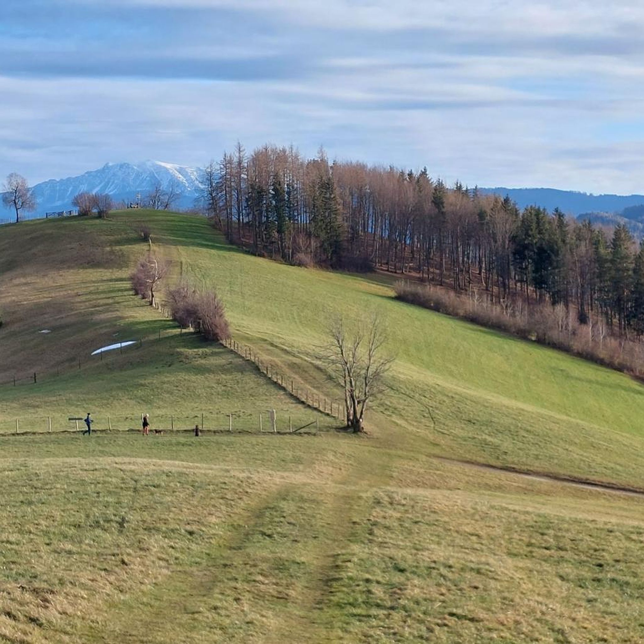
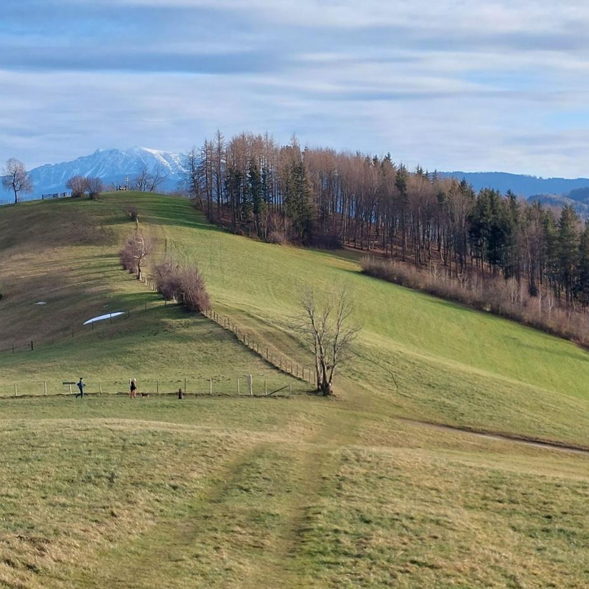
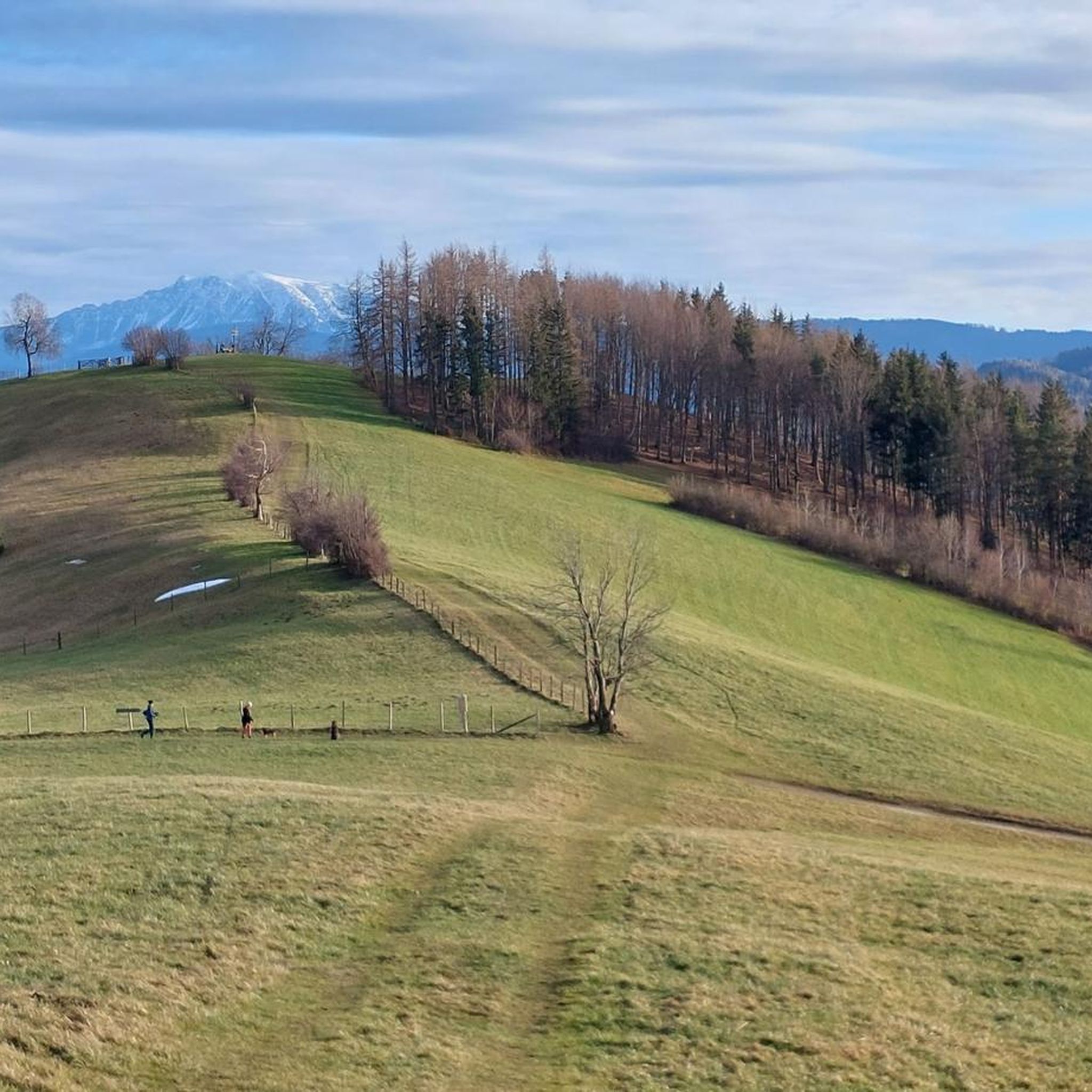
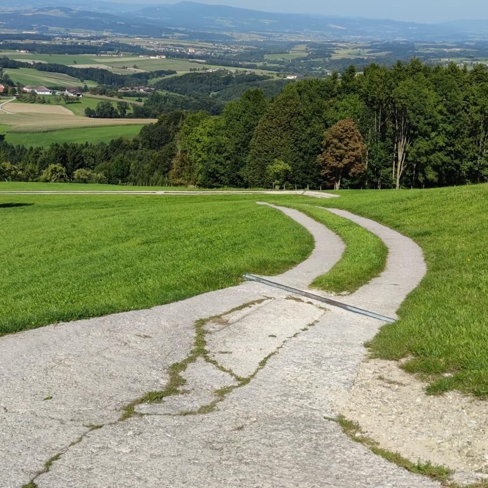
After visiting the impressive lookout tower and the Prochenhütte, be sure to visit the summit cross. The panorama is breathtaking and alpine. It's recommended to leave your bike at the bottom just before the final climb. If it's not too heavy, you can also carry or push it up for a summit photo; it's not far.
1
0

The newly renovated Prochenberghütte is located on Ybbsitz's local mountain and is run by volunteers. Next to the hut there is a lookout tower that promises a great panorama. The hut can be reached on foot, by mountain bike and snowshoes. Opening times: May, June: Sundays and public holidays July, August: Saturdays, Sundays and public holidays https://www.alpenverein.at/waidhofen-ybbs/huetten/index.php
2
0

It was super nice and great view, food was also very tasty.
1
0

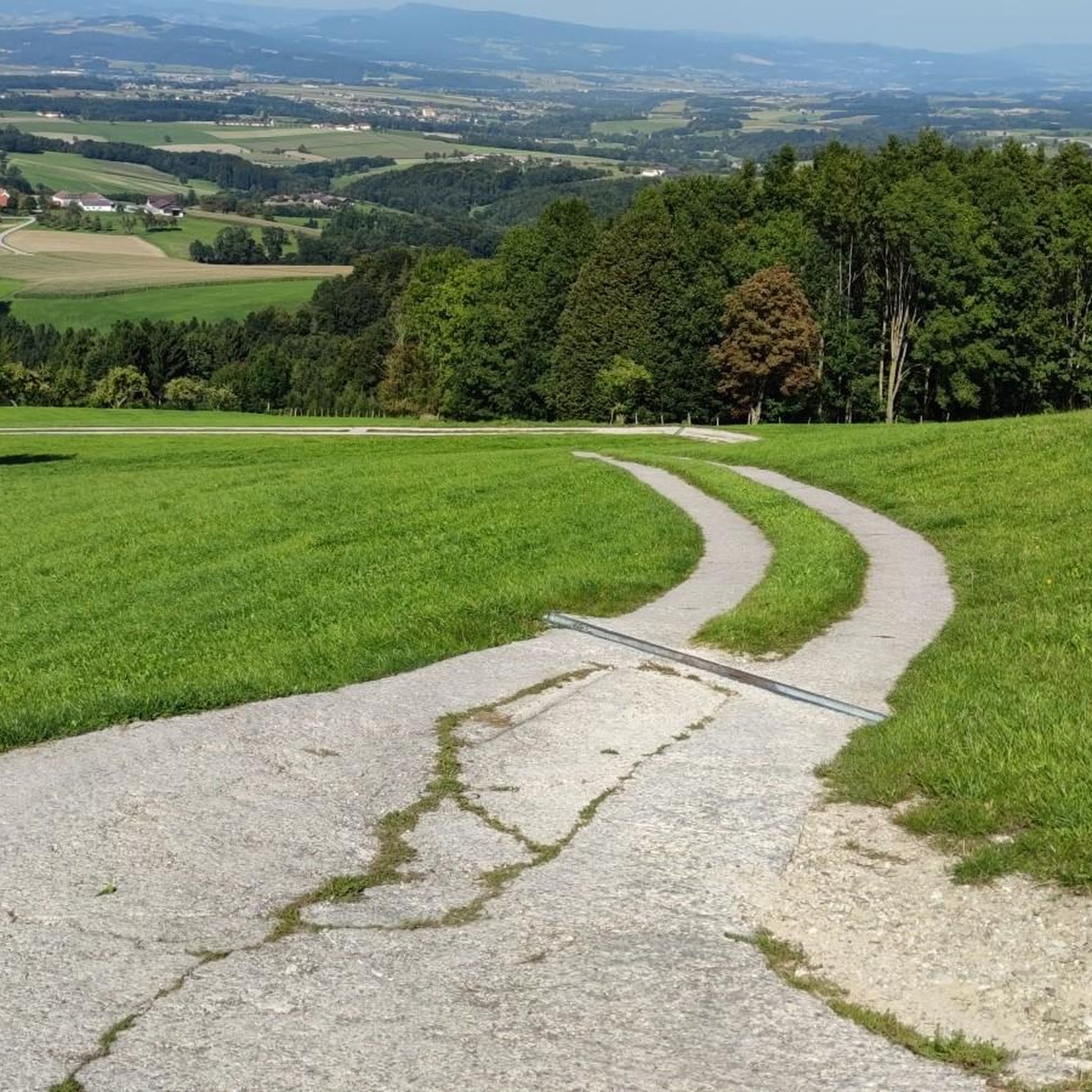
There are always a few parking spaces on the Haselstein - if it's too wet, the descent via the Waldkapelle is very slippery and the Prochenbergstraße is not so nice to walk on
1
0

From the lookout tower at the Prochenberghütte you have a great panoramic view.
2
0
The Prochenberg can be hiked from various starting points: From Ybbsitz 414 m From the Haselstein farmhouse via Haselsteinwand (homecoming cross) - parking spaces available From the farmhouse Mitterlehen 642 m - parking spaces available (for a donation) By Maria Seesal A great all-round view awaits you at the observation tower. From May 1st to the end of October, the Prochenberghütte 1123 m is open on Sundays and public holidays.
2
0

Descent over the unmarked Jägersteig is also a recommendation!
2
1

very nice hut on the Prochenberg. Right next to it is the lookout tower with a great panoramic view of the Mostviertel.
2
0
Frequently Asked Questions
What kind of terrain can I expect on mountaineering routes around Randegg?
The mountaineering routes around Randegg primarily lead into the Ötscherland recreational region, characterized by the prominent Ötscher mountain. You'll encounter diverse terrain, including majestic limestone landscapes, deep gorges, and dense forests. While Randegg itself features rolling hills, the more demanding routes are found in the nearby Ötscher massif, offering challenging alpine environments.
Are there any circular mountaineering routes available near Randegg?
Yes, several circular routes are popular in the area. For a challenging experience, consider the Haselsteinwand – Prochenberg loop from Ybbsitz, which is 4.3 miles (7.0 km) long. Another option is the Prochenberg loop from Mitterlehen, a moderate 3.2 miles (5.2 km) path offering views of the Mostviertel landscape. For a longer, difficult loop, there's the Prochenberg – Haselsteinwand loop from Ybbsitz, spanning 6.0 miles (9.6 km).
What are some notable natural features or landmarks to look out for on these routes?
The region is rich in natural beauty. The Ötscher-Tormäuer Nature Park, encompassing the Ötscher massif, features majestic limestone landscapes, deep gorges, and stunning waterfalls like the Mirafall. You can also find several prominent peaks, such as the Prochenberg Summit Cross and Hochkogel Summit, offering expansive views.
Are there any family-friendly mountaineering options around Randegg?
While many routes in the Ötscherland region can be challenging, the broader area around the Ötscher mountain does offer some easier beginner and family routes. These typically involve less elevation gain and shorter distances, providing a great way to introduce families to the mountain environment. Always check the specific route details for difficulty and length to ensure it suits your family's capabilities.
What is the best time of year for mountaineering near Randegg?
The Ötscherland region is generally suitable for outdoor activities throughout much of the year. Spring and autumn offer pleasant temperatures and vibrant scenery, while summer provides longer daylight hours. For more challenging routes, especially those involving alpine sections like the 'Rauhen Kamm' on the Ötscher, it's crucial to consider conditions, as snow and ice can persist into late spring or appear early in autumn. Winter mountaineering is possible but requires specialized equipment and experience.
Are there any places to stop for refreshments or a meal along the trails?
Yes, in the broader Ötscherland region, you can find mountain huts and inns. For instance, the Ötscherschutzhaus is a well-known stop near the Ötscher summit. Locally, routes around the Hochkogel summit might lead you past places like the Panoramastüberl Hochkogel. It's always a good idea to check opening times before you set out.
What are the difficulty levels of the mountaineering routes in this area?
The routes around Randegg offer a range of difficulty levels. You'll find both moderate and difficult options. For example, the Prochenberg loop from Gsengmäuer is a moderate route, while the Marktbrunnen – Haselsteinwand loop from Ybbsitz is considered difficult, covering a longer distance with significant elevation changes.
Are dogs allowed on the mountaineering trails around Randegg?
Generally, dogs are welcome on hiking and mountaineering trails in Austria, provided they are kept on a leash, especially in nature protection areas, near livestock, or in crowded sections. Always ensure your dog is well-behaved, can handle the terrain, and carry enough water for both of you. Check local regulations for specific trails or nature parks like Ötscher-Tormäuer, as rules can vary.
What are the options for parking when accessing these mountaineering routes?
While specific parking details for each trailhead are best checked on individual route pages, most popular starting points for mountaineering routes in the Ötscherland region, including those near Ybbsitz or Mitterlehen, typically offer designated parking areas. These are often found at trailheads or near villages that serve as access points to the mountains.
Are there any nearby attractions or points of interest beyond the mountaineering routes?
Beyond the trails, Randegg and its surroundings offer cultural and historical points of interest. You can explore the late Gothic parish church, a monastery, or the ruins of Perwarth Castle. For scenic drives, the Mostviertler Höhenstraße provides access to nearby excursion destinations. Additionally, you can visit nearby lakes like the Blindenmarkt Lakes (Auseen) for a different kind of outdoor experience.
How many mountaineering routes are covered in this guide?
This guide features 5 distinct mountaineering routes around Randegg, offering a selection of experiences from moderate to difficult. These routes are carefully chosen to showcase the best of the region's diverse landscape.
What kind of views can I expect from the summits in the Randegg area?
The region is known for its panoramic vistas. From the 1,893-meter-high Ötscher, often called the 'highest panoramic mountain in western Lower Austria,' you can reportedly see one-third of Austria. Lower peaks like Prochenberg Summit Cross and Hochkogel Summit also offer impressive views of the surrounding Mostviertel landscape and rolling hills.
Most popular routes around Randegg
Most popular attractions around Randegg

Get inspired with the komoot mobile app


Explore more
Browse the best Mountain Hikes & Routes in other regions.
