The best mountain hikes around Texingtal
15
hikers
2
hikes
Mountaineering around Texingtal offers routes through the gently rolling hills and forested landscapes of the Mostviertel region in Lower Austria. The area is characterized by its mix of woodlands, open meadows, and moderate elevations, providing varied terrain for ascents and descents. These routes often lead to scenic viewpoints and traditional huts, showcasing the region's natural beauty.
Best mountaineering routes around Texingtal
- The most popular mountaineering route is Julius Seitner Hut loop from Klaus, a 4.0 miles (6.5 km) trail…
Last updated: October 9, 2026
9
hikers
6.70km
02:55
430m
430m
Moderate mountaineering route. Good fitness required. Mostly accessible paths. Sure-footedness required.
4
hikers
14.0km
04:29
520m
520m
Moderate mountaineering route. Good fitness required. Mostly accessible paths. Sure-footedness required.

2
hikers
6.98km
02:37
430m
430m
Moderate mountaineering route. Good fitness required. Mostly accessible paths. Sure-footedness required.
Our route recommendations are based on thousands of hikes, rides, and runs completed by other people on komoot.
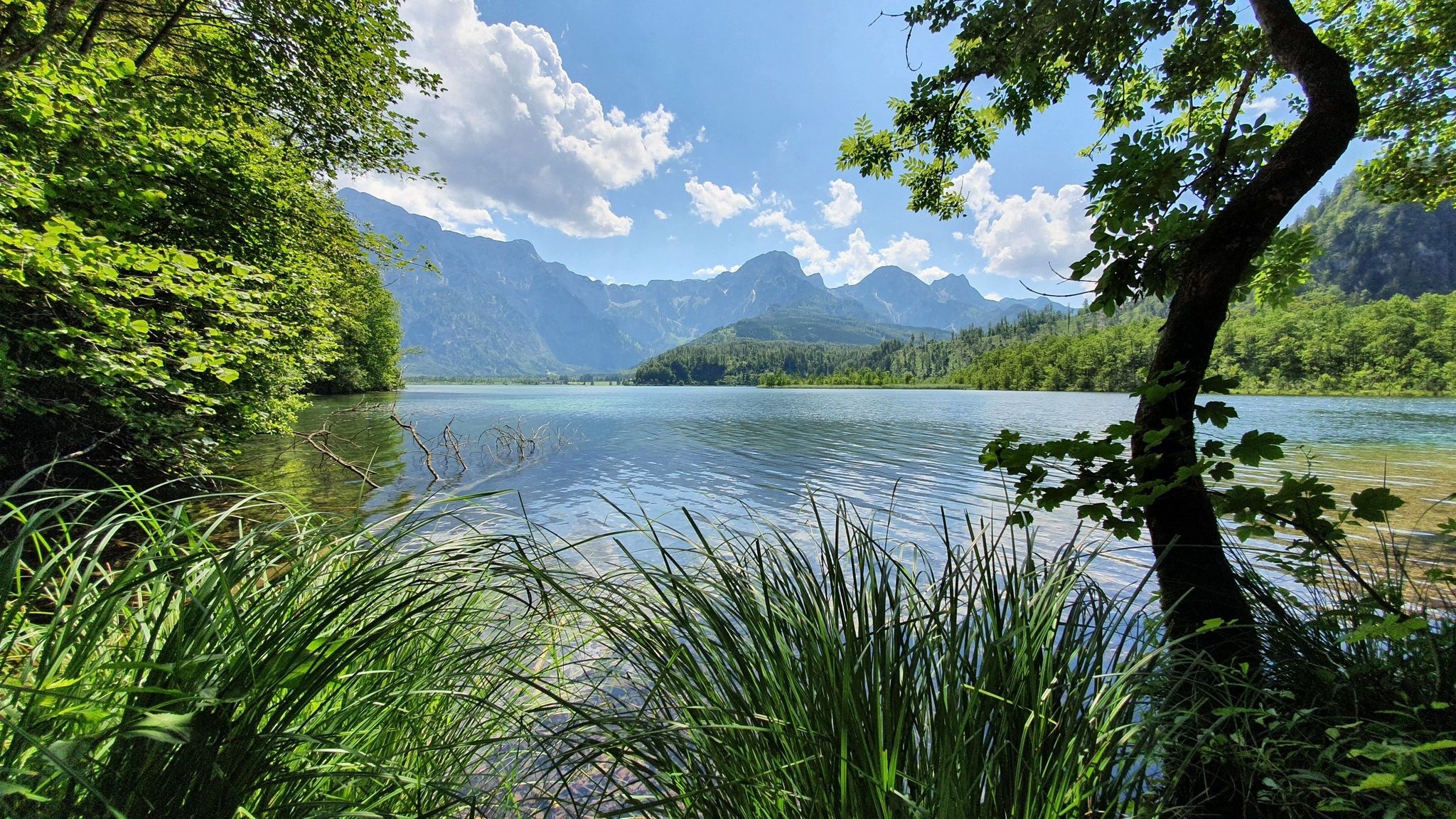

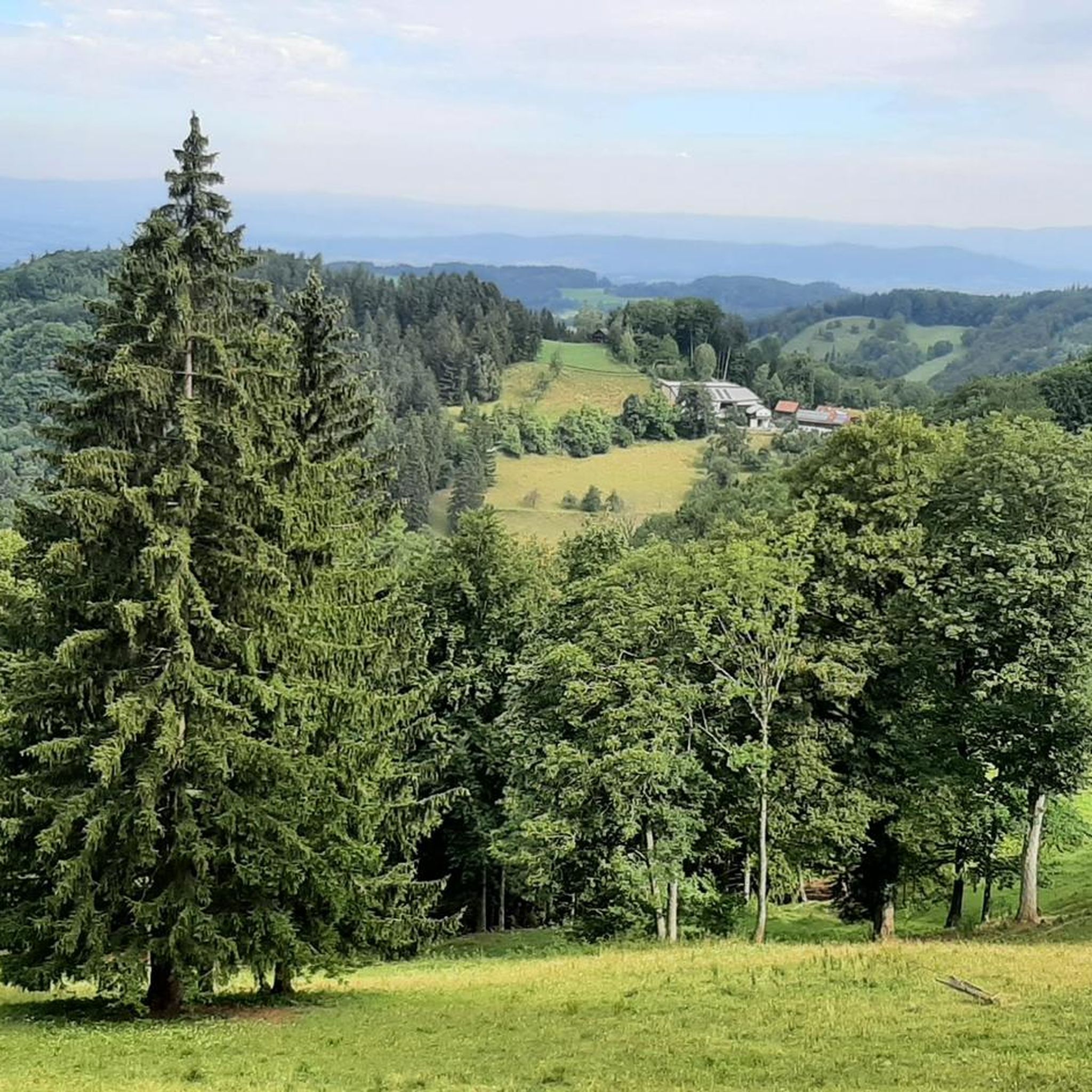
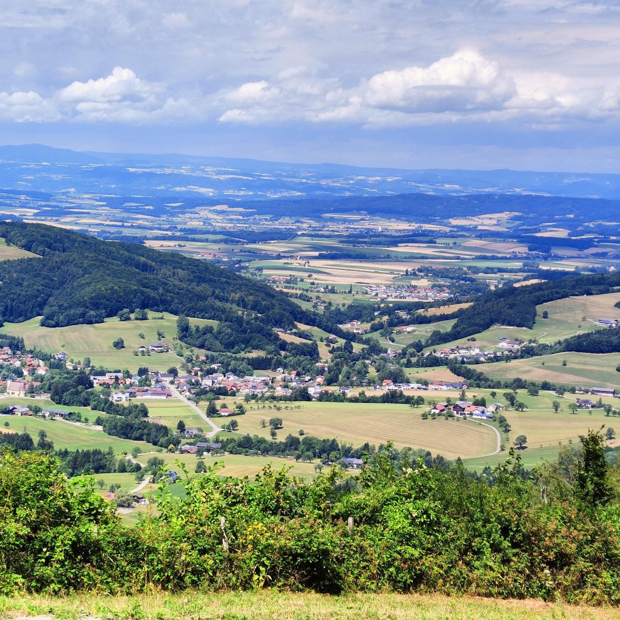
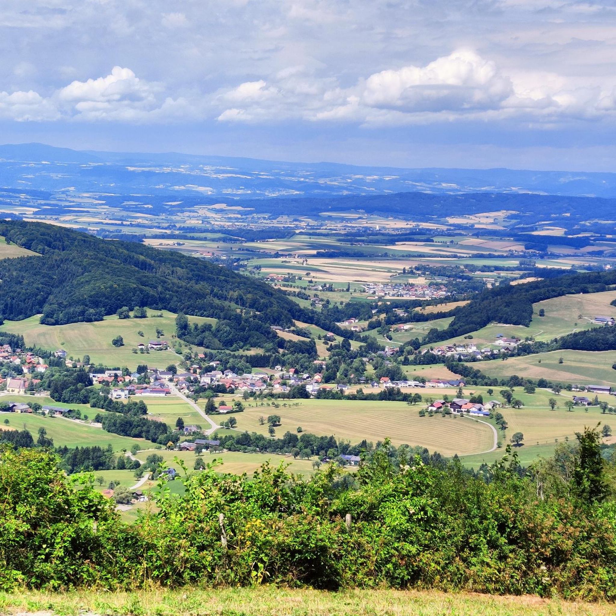
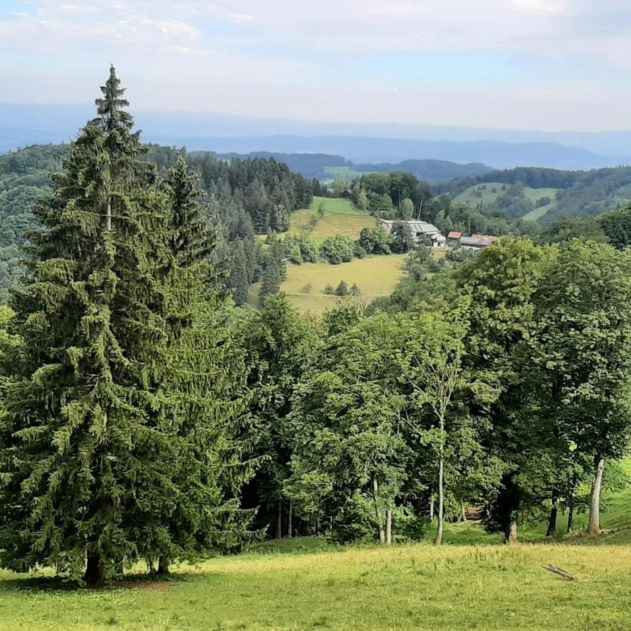
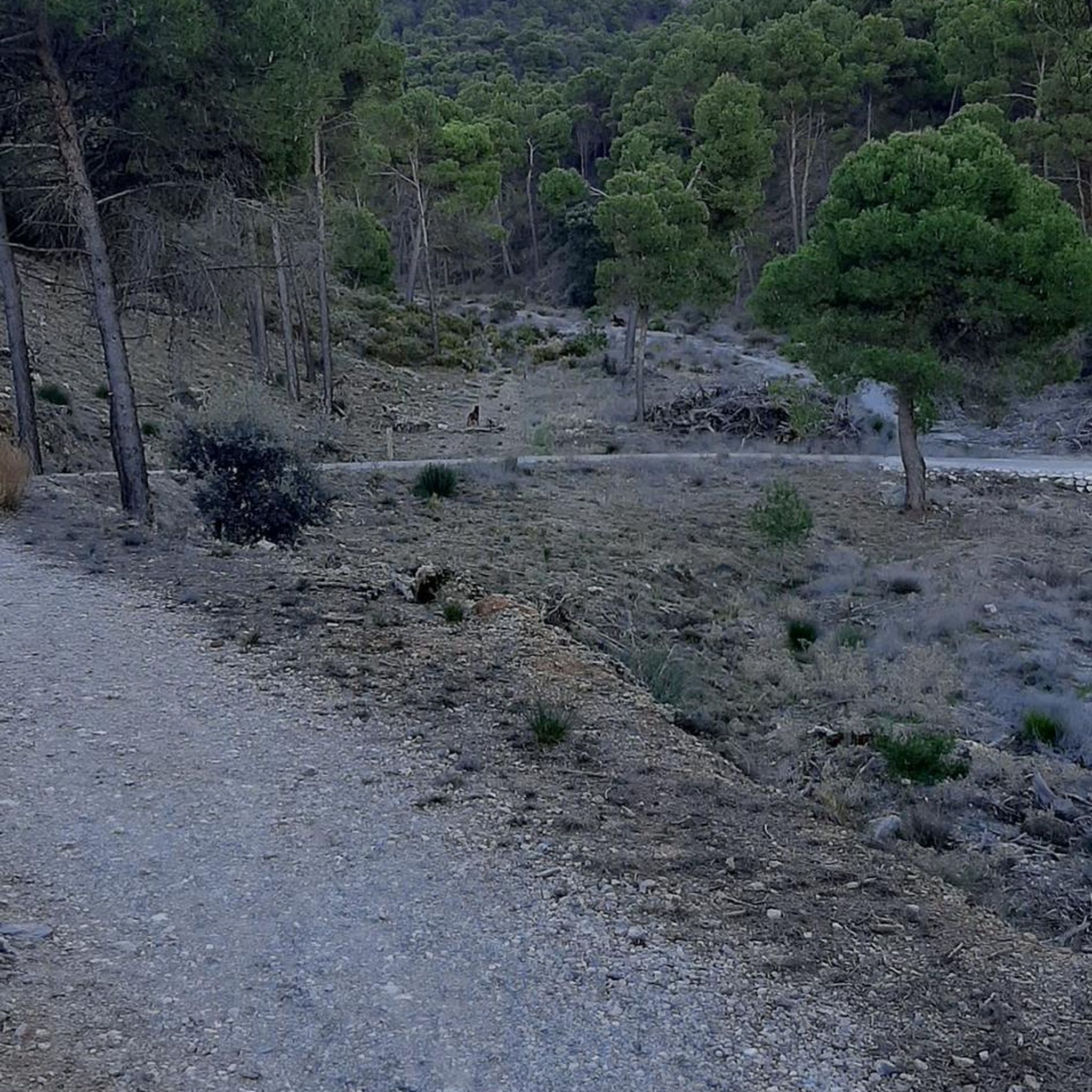


Tips from the Community

Through the commitment of the ruins committee of the village renewal association and generous donations, the ruin was saved from decay. In 1989, a committee was formed to save the Rabenstein ruin, which has since been working on the preservation and securing of this cultural heritage.
0
0

next to a beautiful wooden footbridge over the Pielach river
0
0

Wonderfully beautiful place
1
0

From the narrow bridge you have a great view of the small weir in the Pielach and the natural bathing area.
2
0

Very beautifully designed and at least worth a photo. We only stayed there for a very short time, though.
0
1

Cozy cabin with a beautiful view
1
0

The Eisenstein is a beautiful peak near Türnitz.
5
0
Frequently Asked Questions
What is the general difficulty of mountaineering routes in Texingtal?
Mountaineering routes in Texingtal generally range from moderate to difficult. The region's terrain, characterized by forested hills and moderate elevations, offers a good mix for various skill levels. For example, the Julius Seitner Hut loop from Klaus is a moderate route, while the Josef Franz Hütte loop from Tradigist is considered difficult.
Are there any circular mountaineering routes in Texingtal?
Yes, Texingtal features several excellent circular mountaineering routes. A popular option is the Rabenstein Castle Ruins – Josef-Franz Hut loop from Rabenstein, which combines historical sights with scenic forest paths. Another great choice is the Julius Seitner Hut loop from Klaus, offering a steady climb to a well-known hut.
How long do mountaineering routes in Texingtal typically take to complete?
The duration of mountaineering routes in Texingtal varies depending on the specific trail and your pace. Shorter routes, like the Julius Seitner Hut loop from Klaus, can be completed in under 3 hours. Longer routes, such as the Rabenstein Castle Ruins – Josef-Franz Hut loop from Rabenstein, might take around 4.5 hours or more.
What kind of attractions can I find along mountaineering routes in Texingtal?
Along the mountaineering routes in Texingtal, you can discover a mix of natural beauty and traditional landmarks. Many routes lead to traditional mountain huts like the Julius Seitner Hut at Eisenstein or the Josef-Franz Hut, which are perfect for a rest. You might also encounter historical sites such as Plankenstein Castle, or natural wonders like the Erlauf Gorge.
Is Texingtal suitable for beginner mountaineers?
Texingtal offers routes that are accessible for beginners, particularly those with some hiking experience. The region's gently rolling hills and moderate elevations provide a good starting point. Routes like the Julius Seitner Hut loop from Klaus are rated as moderate and can be a good introduction to mountaineering in the area.
What is the best season for mountaineering in Texingtal?
The best season for mountaineering in Texingtal is typically from late spring to early autumn (May to October). During these months, the weather is generally mild, and the trails are clear of snow, making for pleasant conditions to explore the forested landscapes and open meadows.
Are there any good viewpoints along the mountaineering trails in Texingtal?
Yes, the mountaineering trails in Texingtal often lead to scenic viewpoints that offer expansive vistas over the Mostviertel region. The routes are designed to showcase the natural beauty, with ascents that culminate in rewarding panoramic views of the surrounding woodlands and valleys.
What should I wear for mountaineering in Texingtal during summer?
For summer mountaineering in Texingtal, it's advisable to wear breathable, moisture-wicking layers. Sturdy hiking boots with good ankle support are essential. Always carry a waterproof jacket, even on sunny days, as mountain weather can change quickly. Don't forget sun protection, a hat, and plenty of water.
Are there cafes or huts along the mountaineering routes for refreshments?
Yes, many mountaineering routes in Texingtal lead to or pass by traditional huts where you can find refreshments. The Julius Seitner Hut at Eisenstein and the Josef-Franz Hut are notable examples, offering a welcoming stop for hikers to rest and refuel.
How many mountaineering routes are available in the Texingtal area?
There are several mountaineering routes available in the Texingtal area, offering diverse experiences through its forested hills and open meadows. Komoot currently features a selection of these routes, including options for both moderate and more challenging ascents.
What are some less crowded mountaineering trails in Texingtal?
While specific crowd levels can vary, exploring routes that are not the absolute 'top rated' or starting early in the morning can help you find quieter experiences. The region's network of trails through woodlands and meadows generally offers a sense of tranquility, allowing for peaceful exploration away from the busiest spots.
Most popular routes around Texingtal
Most popular attractions around Texingtal

Get inspired with the komoot mobile app


Explore more
Browse the best Mountain Hikes & Routes in other regions.
