The best waterfall hikes and walks around Lend
4.5
(6373)
32,017
hikers
6
hikes
Waterfall hiking trails around Lend are primarily found within the Kitzlochklamm gorge, a notable natural feature in the SalzburgerLand region of Austria. The landscape is characterized by the deep gorge carved by the Rauriser Ache river, featuring dramatic rock formations, dense woodland, and numerous cascades. Elevation changes are significant, particularly within the gorge itself, offering varied terrain for hikers.
Best waterfall hiking trails around Lend
- The most popular waterfall hiking route is Kitzloch Gorge Waterfall – View of the Gorge…
Last updated: September 29, 2026
4.8
(424)
1,562
hikers
8.58km
02:58
410m
410m
Moderate hike. Good fitness required. Mostly accessible paths. Sure-footedness required.
4.8
(438)
1,542
hikers
8.22km
02:52
400m
410m
Moderate hike. Good fitness required. Mostly accessible paths. Sure-footedness required.

5.0
(23)
70
hikers
Easy hike. Great for any fitness level. Easily-accessible paths. Suitable for all skill levels.
4.4
(23)
85
hikers
8.00km
02:41
340m
350m
Moderate hike. Good fitness required. Mostly accessible paths. Sure-footedness required.
4.6
(10)
40
hikers
15.3km
05:26
800m
800m
Hard hike. Very good fitness required. Mostly accessible paths. Sure-footedness required.
Our route recommendations are based on thousands of hikes, rides, and runs completed by other people on komoot.
Start today with a free account
Your next adventure awaits.
Popular around Lend
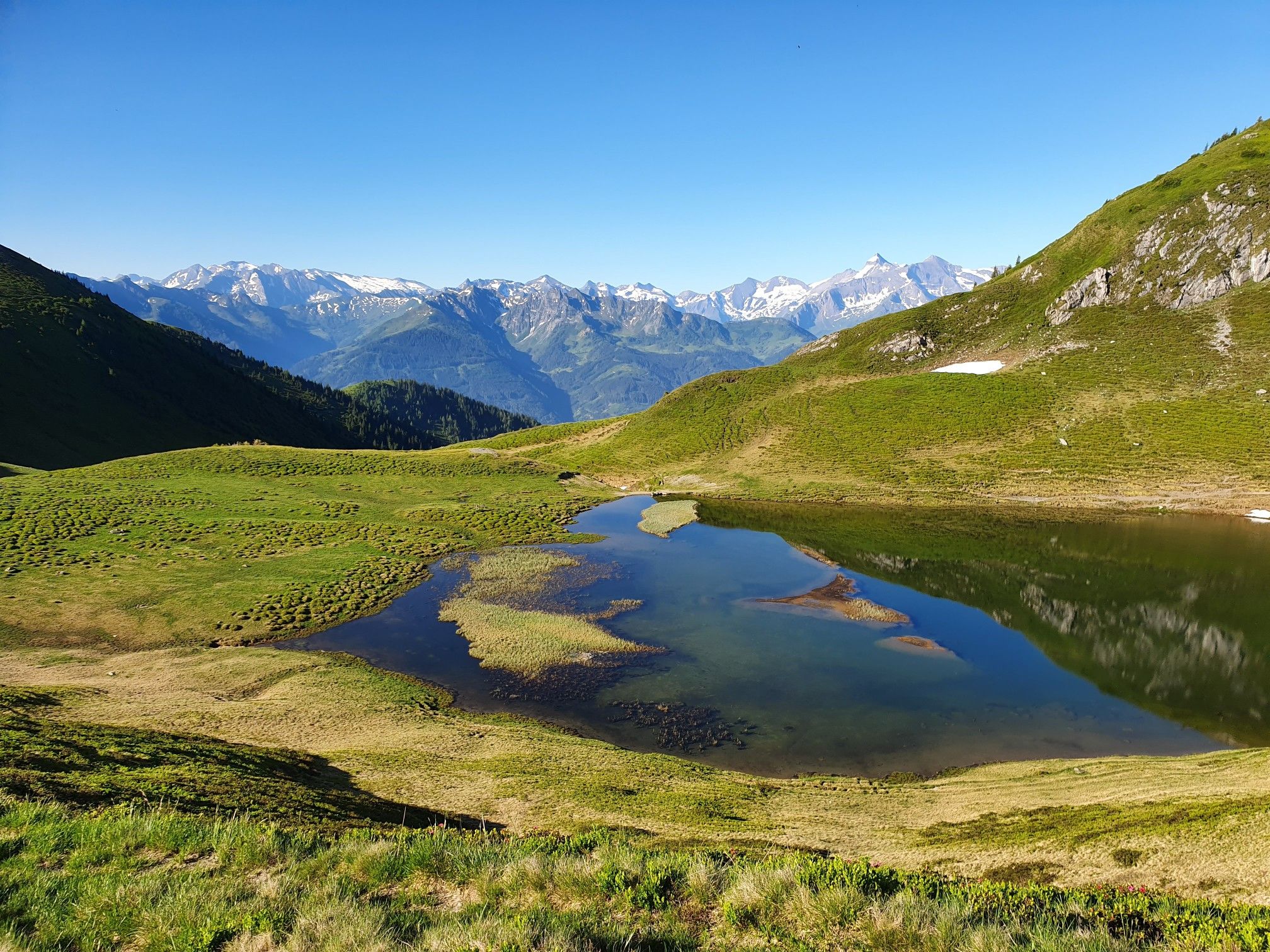
Hohe Tauern Panorama Trail – Face-to-face with 3000-metre peaks
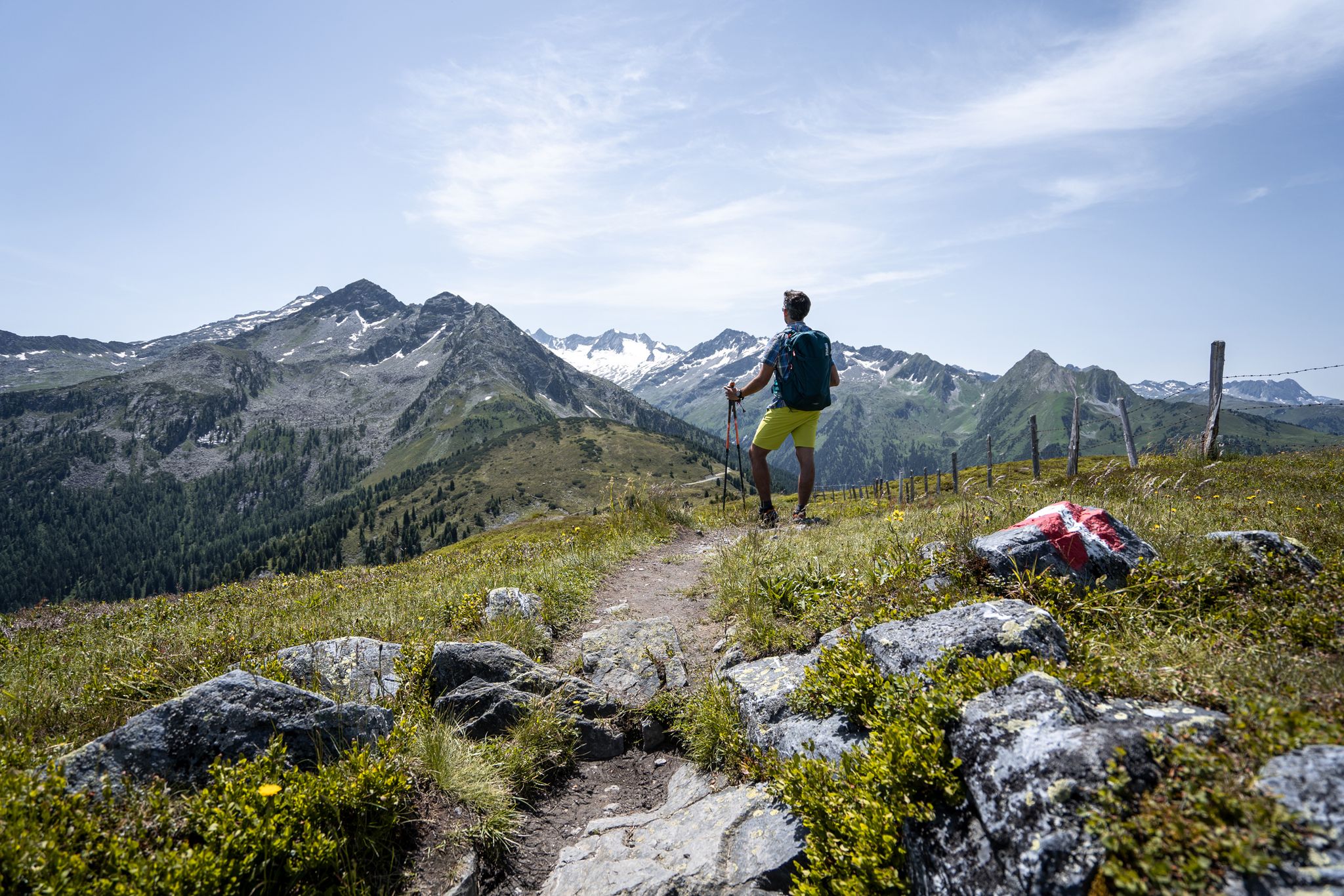
Best views of the highest mountains — Hohe Tauern Panorama Trail

On a voyage of discovery in Austria’s High Tauern National Park
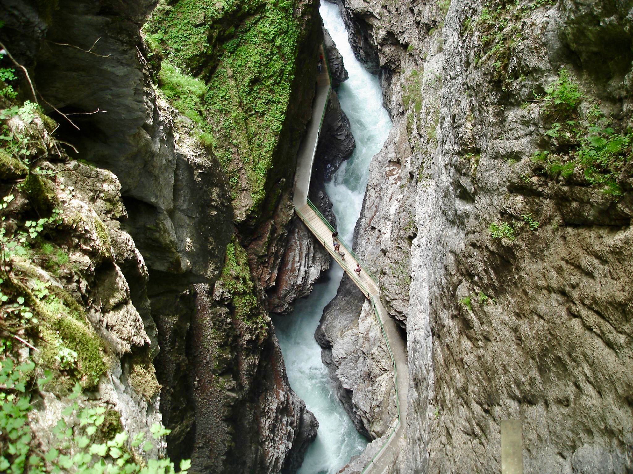
The most beautiful gorges of the Alps
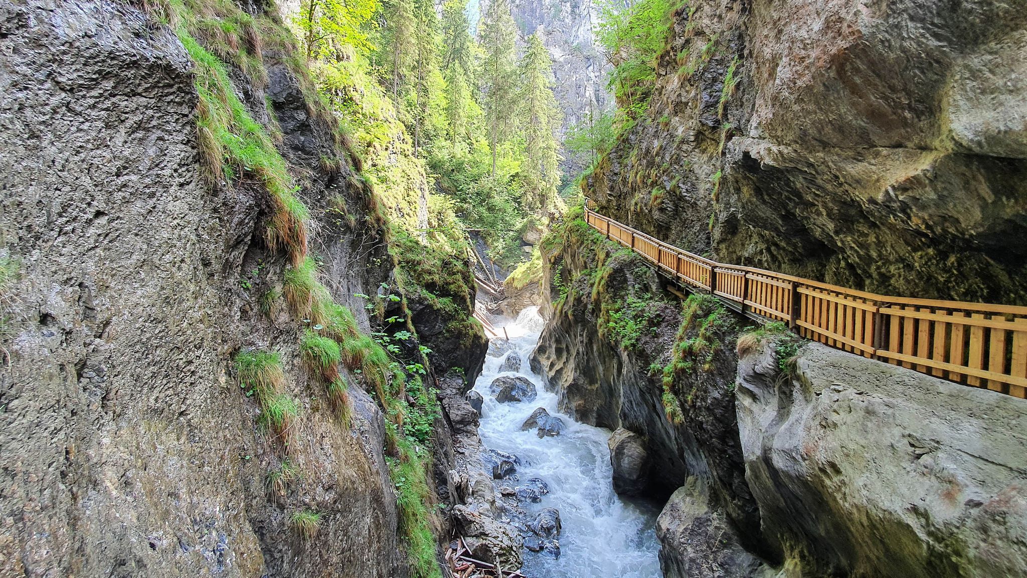
The most beautiful gorges in the Salzburger and Berchtesgadener Land
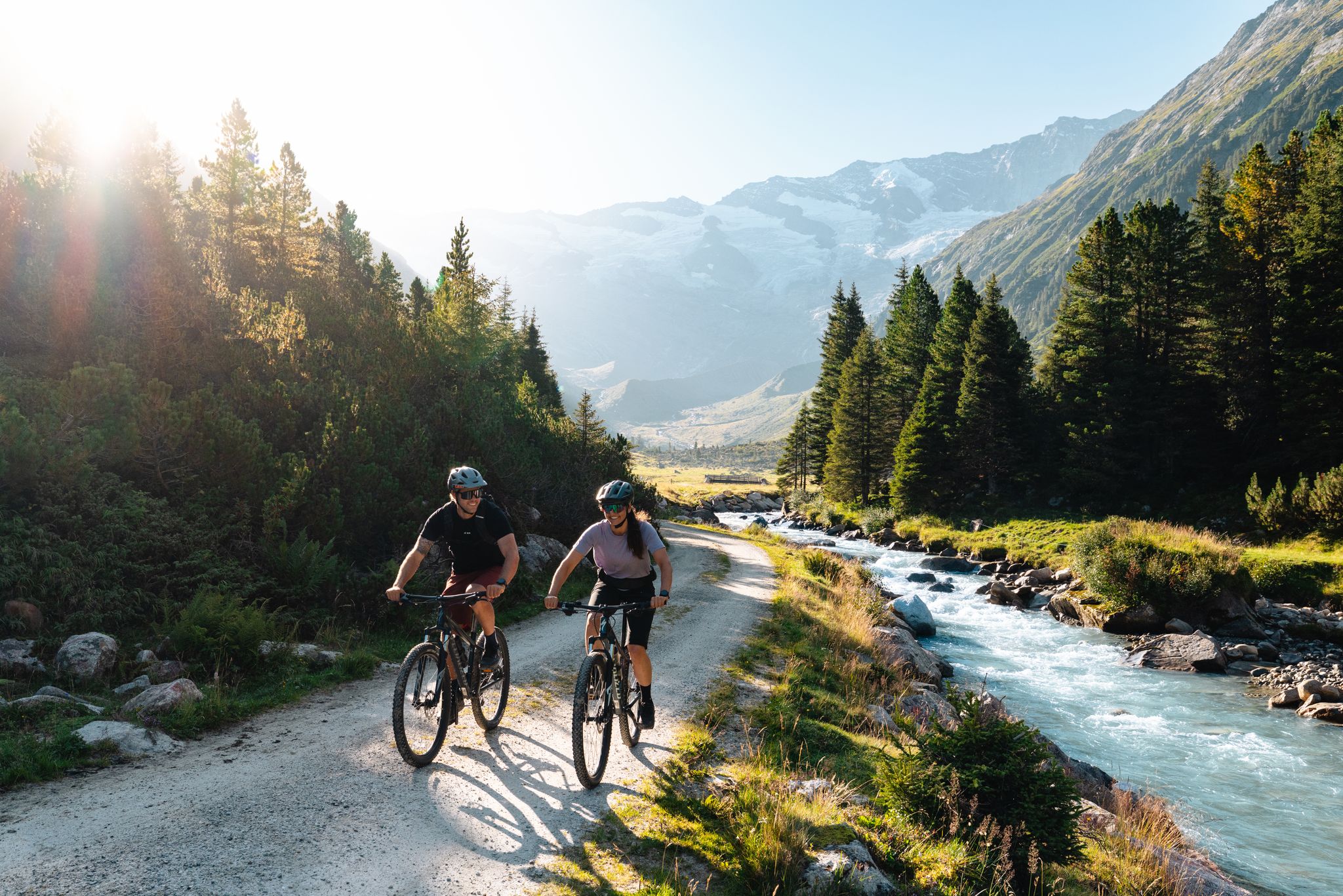
14 stages through the national park valleys – Hohe Tauern Bike Trail
Other adventures around Lend


Tips from the Community

Take money with you! What a disappointment. You go there to make a beautiful hike. You arrive at the starting point of the route (after walking 3 km). You have to pay, only in cash. It is not indicated anywhere. So back the way you came.... we were not the only ones. A shame.
1
0

Cozy, delicious, friendly, a destination even in the rain!
0
0

Very beautiful gorge with subsequent hiking possibilities
0
0

In the gorge, there is one highlight after another
0
0

Very nice, it's worth it.
0
0
Very nice paths and good to walk
0
0
The paths look adventurous, but are quite easy to walk
0
0
Weir over gorge
0
0
Frequently Asked Questions
Where are the main waterfall hiking trails located around Lend?
The primary waterfall hiking trails around Lend are concentrated within the Kitzlochklamm gorge, a prominent natural feature in the SalzburgerLand region of Austria. This deep gorge, carved by the Rauriser Ache river, is known for its dramatic rock formations and numerous cascades.
What kind of terrain can I expect on waterfall hikes in the Kitzlochklamm gorge?
Hikers in the Kitzlochklamm gorge can expect varied terrain, characterized by deep gorges, river valleys, and forested slopes. There are significant elevation changes, particularly within the gorge itself, offering a diverse hiking experience.
Are there any easy waterfall hikes suitable for beginners or those seeking a short walk?
Yes, for an easy and direct experience into the gorge, consider the Entrance to the Kitzloch Gorge – Kitzloch Gorge Waterfall loop from Taxenbach. This 1.0-mile (1.6 km) trail can typically be completed in about 41 minutes, providing straightforward access to the gorge's natural features.
What is a popular moderate waterfall hike in the area?
A popular moderate option is the Kitzloch Gorge Waterfall – View of the Gorge loop from Embach. This route spans 5.3 miles (8.6 km) and takes approximately 2 hours and 57 minutes to complete, offering scenic views into the Kitzlochklamm gorge.
Are there any challenging waterfall hikes for experienced hikers?
For a more challenging adventure, the Kitzloch Gorge Waterfall – Kapelleralm loop from Embach is a difficult 9.5-mile (15.3 km) path. This trail features substantial elevation gain and leads through varied terrain, including forest paths and open areas.
What do other hikers say about the trails around Lend?
The hiking routes around Lend are highly regarded by the komoot community, holding an average rating of 4.4 stars from over 1300 reviews. More than 6000 hikers have used komoot to explore the diverse terrain, often praising the natural beauty of the Kitzlochklamm gorge and its waterfalls.
Are there any huts or cabins near the waterfall trails where I can stop for a break?
Yes, there are several huts and cabins in the vicinity. You might consider visiting places like Bürglalm, Aualm, or Zachhofalm. These can offer a place to rest and enjoy refreshments.
What other natural landmarks or viewpoints can be found near the waterfall hikes?
Beyond the gorge itself, the region offers impressive mountain peaks that provide stunning viewpoints. Notable summits include Fulseck Summit, Kreuzkogel Summit, and Schuhflicker Peak, which offer panoramic views of the surrounding landscape.
How many waterfall hiking trails are available in the Lend area?
There are a total of 6 distinct waterfall hiking trails documented in the Lend area, catering to various skill levels from easy walks to more challenging ascents.
Is the Kitzlochklamm gorge accessible by public transport?
While specific public transport details for the Kitzlochklamm gorge are not provided, the trails often start from towns like Embach or Taxenbach. It is advisable to check local bus schedules or train connections to these towns for the most up-to-date information on reaching the trailheads.
Are there parking facilities available near the Kitzlochklamm gorge for hikers?
Yes, trailheads for the Kitzlochklamm gorge, particularly those starting from Taxenbach or Embach, typically have accessible parking options. It's recommended to check specific route details for precise parking locations.
Most popular routes around Lend
Most popular attractions around Lend

Get inspired with the komoot mobile app


Explore more
Browse the best Hikes in other regions.
