The best waterfall hikes and walks around Schieder-Schwalenberg
4.6
(2576)
10,145
hikers
12
hikes
Waterfall hiking trails around Schieder-Schwalenberg traverse a varied landscape of rolling hills, dense forests, and picturesque river valleys. The region is situated between the Teutoburg Forest/Egge Mountains Nature Park and the Weserbergland, offering diverse topography. Prominent features include the Schwalenberger Wald with its beech, oak, and spruce trees, and the Niese stream which flows into SchiederSee, providing a natural setting for exploring water features.
Best waterfall hiking trails around Schieder-Schwalenberg
- The most popular waterfall hiking route is Schieder Castle –…
Last updated: July 6, 2026
4.8
(8)
21
hikers
17.4km
04:53
350m
350m
Moderate hike. Good fitness required. Easily-accessible paths. Suitable for all skill levels.
3.6
(8)
13
hikers
23.9km
06:50
560m
560m
Hard hike. Very good fitness required. Easily-accessible paths. Suitable for all skill levels.

Sign up for free
5
hikers
6.99km
01:55
110m
110m
Easy hike. Great for any fitness level. Easily-accessible paths. Suitable for all skill levels.
3.0
(2)
4
hikers
5.52km
01:30
80m
80m
Easy hike. Great for any fitness level. Easily-accessible paths. Suitable for all skill levels.
4.7
(3)
5
hikers
14.5km
04:05
300m
300m
Moderate hike. Good fitness required. Easily-accessible paths. Suitable for all skill levels.
Get access to more routes and recommendations from other explorers.
Sign up for free
Already have an account?
Our route recommendations are based on thousands of hikes, rides, and runs completed by other people on komoot.
Start today with a free account
Your next adventure awaits.
Login or Signup
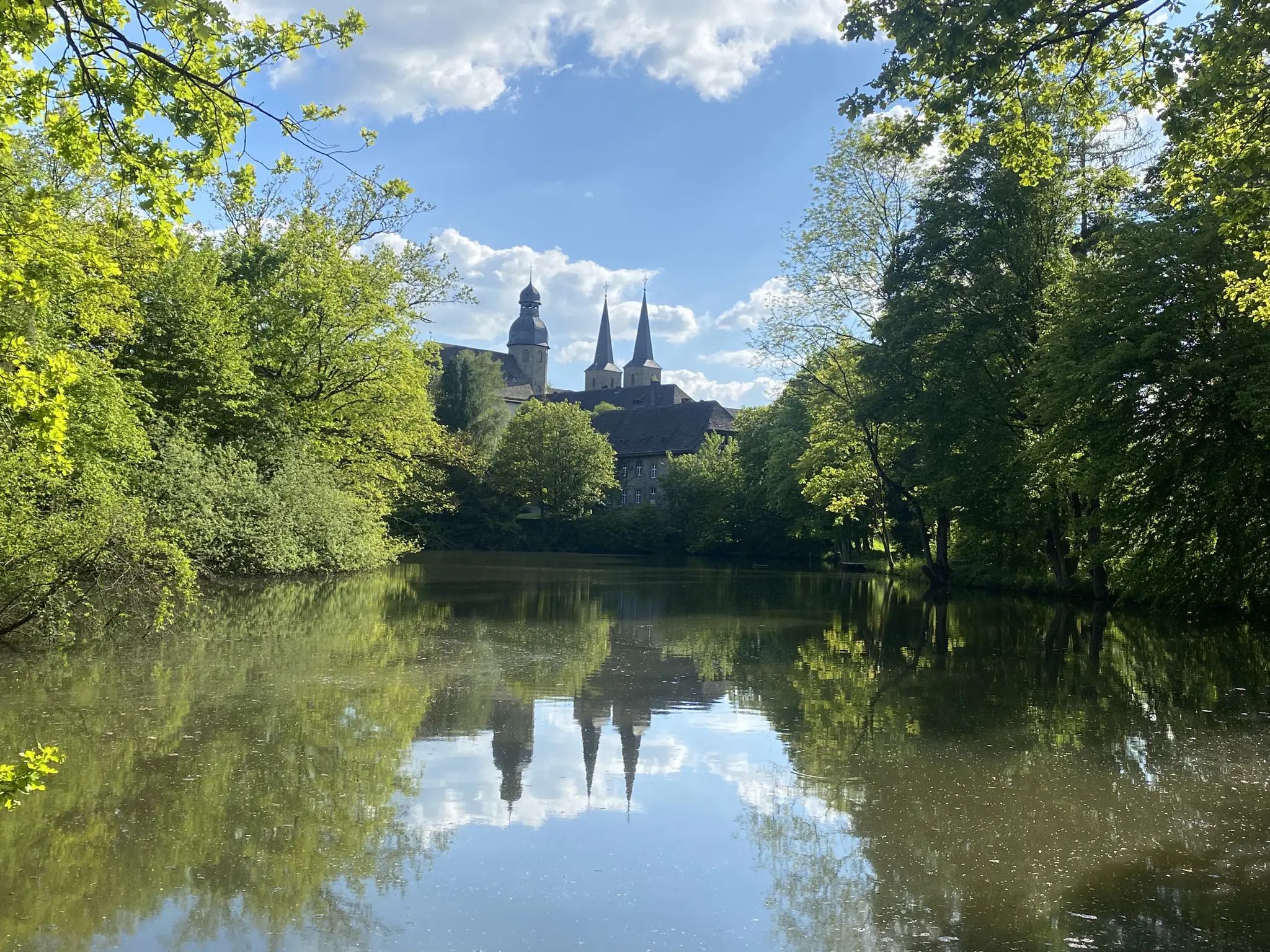
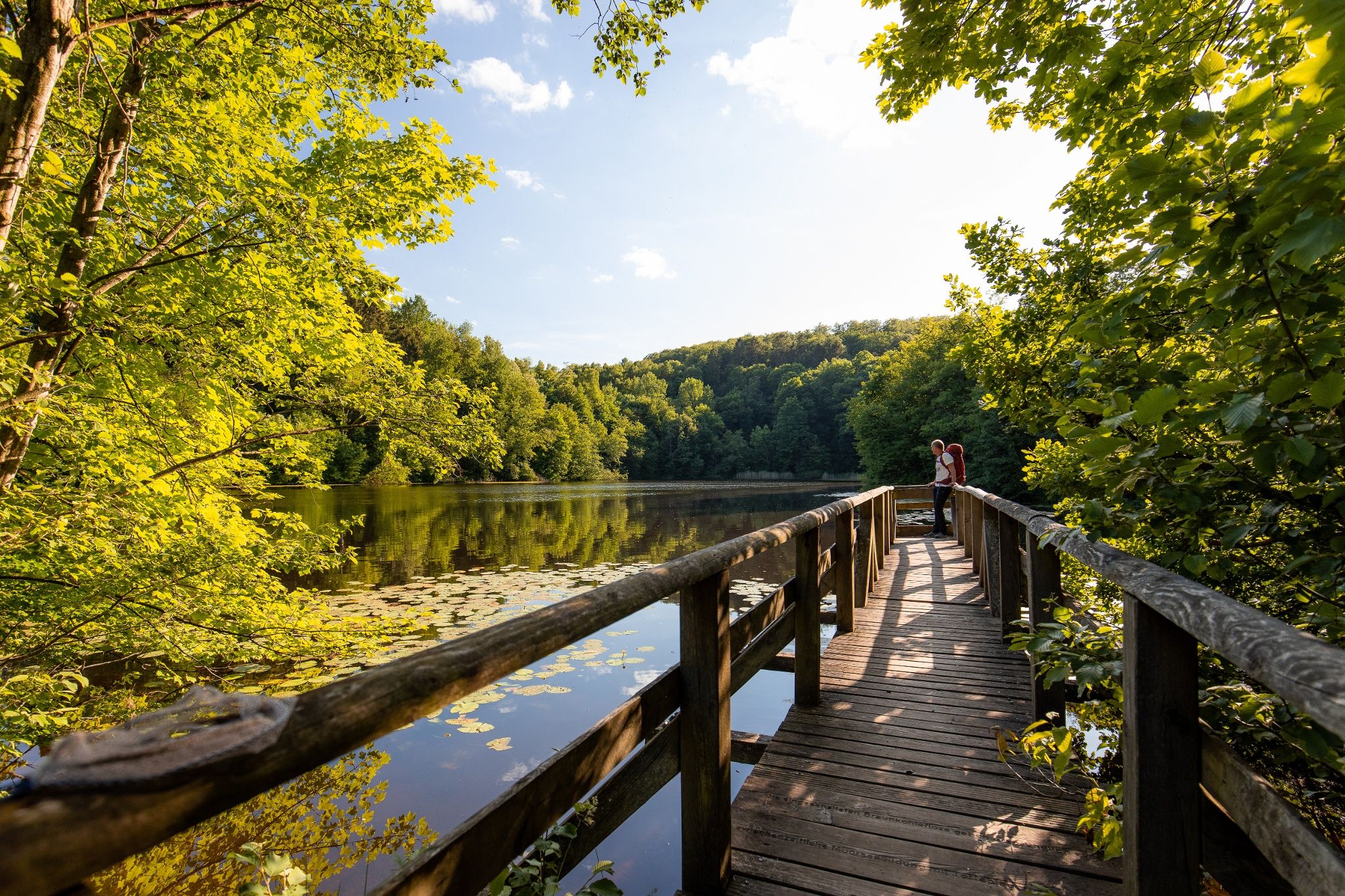

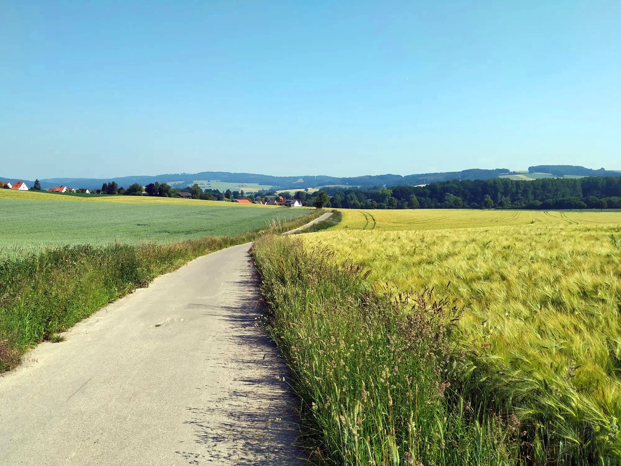
Other adventures around Schieder-Schwalenberg


Tips from the Community


a beautiful place to take a break
0
0

Quiet, relaxing place with old trees
0
0

Schieder Castle & Park, a recommendable, small and well-kept property!
0
0

beautiful town, recommended
0
0

town hall with toilet
0
0

Beautiful park, I didn't expect that. Great facility
0
0

Frequently Asked Questions
How many waterfall hiking trails are available in Schieder-Schwalenberg?
There are currently 6 dedicated waterfall hiking trails around Schieder-Schwalenberg listed on komoot. These routes offer a variety of experiences, from leisurely strolls to more challenging treks through the region's diverse landscapes.
What is the best time of year to experience the waterfalls in Schieder-Schwalenberg?
Spring and autumn are particularly recommended for hiking in Schieder-Schwalenberg. In spring, you'll witness vibrant blooms, while autumn offers striking foliage colors that enhance the natural scenery around the water features. After periods of rain, the waterfalls and streams are often at their most impressive.
Are there any easy waterfall hikes suitable for beginners or families?
Yes, many of the waterfall trails are considered easy. For instance, the Schieder Castle – View of Schloss Bad Driburg loop from Schieder is an easy 5.5 km trail that takes about 1 hour 30 minutes, leading through forested areas with open views. Another great option is the Schieder Castle – View of Schloss Bad Driburg loop from Schieder-Schwalenberg, an easy 7.0 km path offering views of the surrounding landscape and historic sites.
What kind of natural features can I expect to see on these waterfall hikes?
The region is characterized by dense forests, rolling hills, and picturesque river valleys. You'll encounter features like the Schwalenberger Wald with its beech, oak, and spruce trees, and the Niese stream which flows into SchiederSee. The trails often lead through tranquil forest sections and along various watercourses that feed the waterfalls.
Are there any circular routes among the waterfall hiking trails?
Yes, several waterfall hiking trails in Schieder-Schwalenberg are circular. For example, the Schieder Castle – Kahlenberg Tower loop from Schieder is a moderate 15.7 km circular trail, offering varied terrain and elevation changes. Another easy circular option is the Beech Forest Near Schieder – Alt-Schieder Kneipp Basin loop from Schieder, which is about 5.5 km long.
What interesting landmarks or attractions can I find near the waterfall trails?
Many trails offer access to historical and natural points of interest. You might pass by Schieder Castle, a 16th-century moated castle with baroque gardens. For panoramic views, consider routes that lead towards the Köterberg Summit or the Osterkreuz on Osterberg. The picturesque half-timbered town of Schwalenberg is also a charming place to explore near many hiking starting points.
What do other hikers say about the waterfall trails in Schieder-Schwalenberg?
The waterfall trails in Schieder-Schwalenberg are highly regarded by the komoot community, with an average rating of 4.7 stars from over 2200 reviews. Hikers often praise the well-maintained paths, the peaceful forest environments, and the scenic beauty of the water features and surrounding landscapes.
Is there parking available near the starting points of these waterfall hikes?
While specific parking details vary by route, many popular starting points for hikes in Schieder-Schwalenberg, especially those near attractions like Schieder Castle or the town centers, typically offer designated parking areas. It's advisable to check the individual tour details on komoot for the most precise parking information for your chosen route.
Are the waterfall hiking trails suitable for dogs?
Generally, hiking trails in natural areas like Schieder-Schwalenberg are dog-friendly, provided dogs are kept on a leash and owners clean up after them. The varied terrain and natural water features can be enjoyable for pets. However, always check local regulations or specific trail signage, especially in nature reserves, as rules can vary.
Are there any longer or more challenging waterfall hikes for experienced hikers?
For those seeking a more challenging experience, the Schieder Castle – Kahlenberg Tower loop from Schieder is a moderate 15.7 km trail with significant elevation changes, taking around 4 hours 29 minutes to complete. This route offers a good workout while still showcasing the region's natural beauty and water features.
Can I find places to eat or cafes near the waterfall hiking routes?
The region of Schieder-Schwalenberg, including the historic town of Schwalenberg and areas around SchiederSee, offers various dining options and cafes. Many routes start or pass near these locations, providing opportunities for refreshments before or after your hike. It's a good idea to check the specific route on komoot for points of interest like restaurants or cafes along the way.
What is the typical duration for a waterfall hike in this area?
The duration of waterfall hikes in Schieder-Schwalenberg varies significantly depending on the route's length and difficulty. Easy trails like the Plöger Paper Mill Museum – View of Schloss Bad Driburg loop from Schieder can be completed in about 1 hour 14 minutes, while longer, moderate routes such as the Schieder Castle – Kahlenberg Tower loop from Schieder can take over 4 hours.
Most popular routes around Schieder-Schwalenberg
Most popular attractions around Schieder-Schwalenberg

Get inspired with the komoot mobile app


Explore more
Browse the best Hikes in other regions.
