The best waterfall hikes and walks around Klüt
4.6
(8009)
27,328
hikers
1
hike
Waterfall hiking trails around Klüt are set within the dense Klütwald forest, part of the rolling hills of the Weserbergland region. This area, centered around the 258-meter-high Klüt hill, offers varied terrain from gentle forest paths to steeper ascents. Hikers can experience lush greenery and, from certain viewpoints, expansive views of the Weser valley. The landscape is characterized by its wooded environment and natural water features.
Best waterfall hiking trails around Klüt
- The most popular waterfall hiking route is View…
Last updated: September 29, 2026
5.0
(1)
3
hikers
25.0km
06:54
430m
430m
Hard hike. Very good fitness required. Easily-accessible paths. Suitable for all skill levels.
3.8
(8)
21
hikers
7.14km
01:57
110m
110m
Easy hike. Great for any fitness level. Easily-accessible paths. Suitable for all skill levels.

4.9
(702)
1,852
hikers
8.99km
02:31
140m
140m
Moderate hike. Good fitness required. Mostly accessible paths. Sure-footedness required.
Our route recommendations are based on thousands of hikes, rides, and runs completed by other people on komoot.
Other adventures around Klüt

Tips from the Community

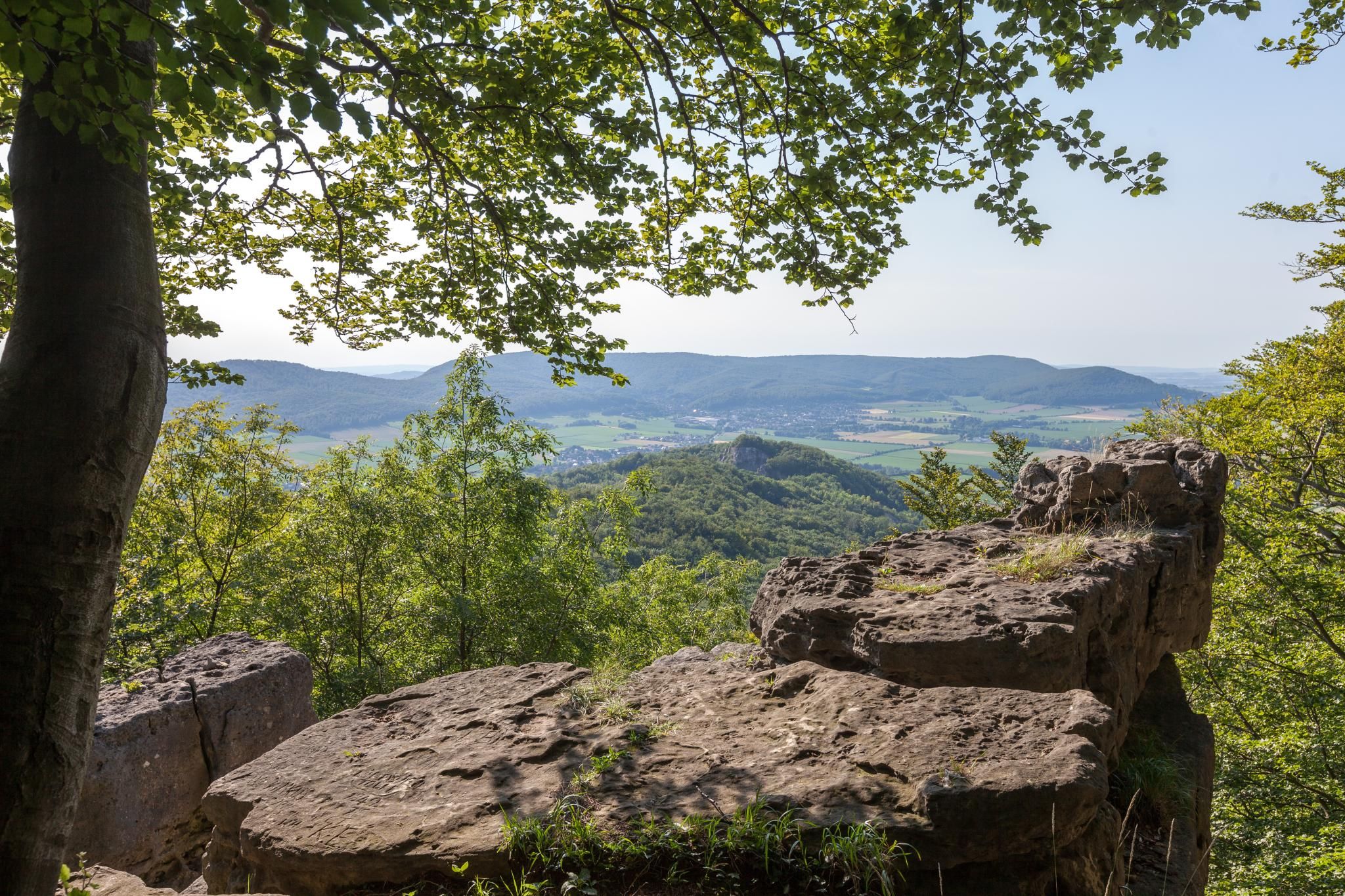
From here you can see the Kaiser Wilhelm Monument in clear weather.
0
0

One of my favorite paths, especially beautiful in summer and autumn
0
0

The Schneegrund near Hessisch Oldendorf is a tranquil, impressive nature reserve that opens like a hidden valley nestled among ancient deciduous forests. A narrow path accompanies the clear stream as it winds its way through damp ravines and along mossy rocks. Especially in spring, a delicate display of blossoms unfolds, including snowdrops and wood anemones, covering the forest floor like a pale blanket. The approximately 7.7-kilometer-long Schneegrund route leads past steep slopes, shady sections of forest, and even a small waterfall near Langenfeld, showcasing the many facets of this landscape. Hikers here experience a harmonious interplay of water, forest, and rock that is both calming and invigorating.
0
0


Beautiful path through a beautiful beech forest.
0
0

The Patensteig is a trail that follows the Rickbach and later the Gersiekbach streams. It's beautiful and also features waterfalls.
0
0
The Patensteig is a trail that follows the Rickbach and later the Gersiekbach streams. It's beautiful and also features waterfalls.
0
0
The Patensteig is a trail that follows the Rickbach and later the Gersiekbach streams. It's beautiful and also features waterfalls.
0
0
Frequently Asked Questions
What kind of terrain can I expect on waterfall hikes around Klüt?
Waterfall hiking trails around Klüt are primarily set within the dense Klütwald forest, part of the rolling hills of the Weserbergland region. You can expect varied terrain, from gentle forest paths to steeper ascents, all offering lush greenery and natural water features. From certain viewpoints, you'll also get expansive views of the Weser valley.
Are there any easy waterfall hikes suitable for beginners in Klüt?
Yes, there are options for various ability levels. An excellent choice for beginners is the View of the Weser Hills – Patensteig Waterfalls loop from Bremker Bachtal. This easy 7.2 km trail takes about 2 hours to complete and features water elements and scenic views.
What are some notable landmarks or viewpoints to see near the waterfall trails?
While exploring the waterfall trails, you can also visit several interesting landmarks. The Klütturm offers a spectacular panoramic view of Hameln and the Weser Uplands. Other points of interest include the Riepen Shelter Viewpoint and the Adolf Könemann Hut, which provide great resting spots and views.
What do other hikers enjoy most about hiking in Klüt?
The area is highly rated by the komoot community, with an average score of 4.6 stars from over 800 reviews. Hikers frequently praise the diverse terrain, the beautiful forested environment, and the well-maintained paths that offer both challenging ascents and relaxing strolls.
Are there any longer or more challenging waterfall hikes in the Klüt region?
For those seeking a more challenging experience, the Höllenbach Valley – Höllenbachtal Forest Path loop from Wickbolsen is a difficult 24.9 km trail. This route leads through the scenic Höllenbach Valley and typically takes around 7 hours to complete.
Can I find any circular waterfall routes around Klüt?
Yes, many of the trails around Klüt are designed as circular routes, allowing you to start and end at the same point. For example, the View of the Weser Hills – Patensteig Art Trail loop from Bremker Bachtal is a moderate 9.0 km circular path that winds through forested areas with varied elevation.
What is the best season to experience the waterfalls in Klüt?
While the Klütwald forest is beautiful year-round, the waterfalls are typically most impressive during spring after snowmelt or heavy rains, and in autumn when the surrounding foliage adds vibrant colors to the landscape. Summer offers lush greenery, and winter can provide a unique, serene experience, though conditions may be more challenging.
Are there places to eat or rest near the hiking trails?
Yes, near the Klütturm, you can find the Klüt-Hotel and Restaurant, which offers refreshments and impressive views. Additionally, the Finkenborn Forest Inn is another option for a meal or a break. Along the trails, you might also encounter shelters like the Riepen Shelter.
Is Klüt easily accessible from Hameln?
Klüt is often referred to as Hameln's 'local mountain' due to its close proximity. Many trails start directly from the city, such as routes from Brückenkopf on the Weser, making it very accessible for combining a nature experience with exploring Hameln's historic city center.
What kind of natural features define the Klüt region for hikers?
The Klüt region is defined by its dense Klütwald forest, rolling hills characteristic of the Weserbergland, and the 258-meter-high Klüt hill itself. Hikers will encounter lush greenery, natural water features, and expansive views of the Weser valley from various vantage points.
Are there any historical sites or monuments along the trails?
Yes, the Klüt area has historical remnants. You can find the Friedrich Wilhelm Heise memorial, dedicated to an honorary citizen of Hameln. The region also features historical fortifications from the 18th century, adding a touch of history to your hike.
Most popular routes around Klüt
Most popular attractions around Klüt

Get inspired with the komoot mobile app


Explore more
Browse the best Hikes in other regions.
