Top 20 Mountain Passes around Algund - Lagundo
Mountain passes around Algund - Lagundo are located in South Tyrol, Italy, providing access to diverse terrain within the Texel Group Nature Park. The region offers a network of hiking and biking trails across altitudes from 300 to nearly 3,000 meters. These passes are integral to the area's outdoor activities, providing access to alpine scenery and natural features.
Best mountain passes around Algund - Lagundo
- The most popular mountain pass is Spronserjoch – Sopranes Pass, a mountain pass located…
Last updated: June 26, 2026
Taufenscharte (Taufen Pass)
Highlight • Mountain Pass
Translated by Google •
Tip by

Laugen Spitze – Monte Luco
Highlight • Summit
The Laugen is located in the outermost Ulten Valley and flanks the southern side of the Ulten Mountains (mountain range of the Maddalene - Ilmenkamm). Different …
Translated by Google •
Tip by

Sign up now to discover places like this
Get recommendations on the best single tracks, peaks, & plenty of other exciting outdoor places.
Sign up for free
Spronserjoch – Sopranes Pass
Highlight • Mountain Pass
The original path from the middle Etschtal near Meran to the high valley of Pfelders dates back to the Middle Stone Age (around 5000 BC). The Mesolith …
Translated by Google •
Tip by

Hochgangscharte (2,455 m) — Hochgang Pass
Highlight • Mountain Pass
Translated by Google •
Tip by

Eisjöchl Pass
Highlight • Mountain Pass
Translated by Google •
Tip by

Sign up for free to discover even more mountain passes around Algund - Lagundo.
Sign up for free
Already have an account?
Start today with a free account
Your next adventure awaits.
Login or Signup
Popular around Algund - Lagundo
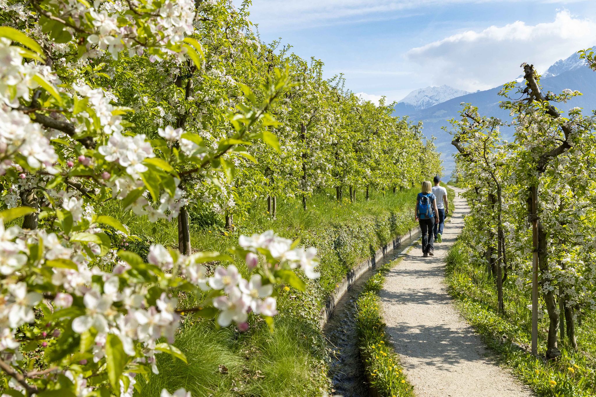
On the trail of the water along Italy’s Marlinger Waalweg
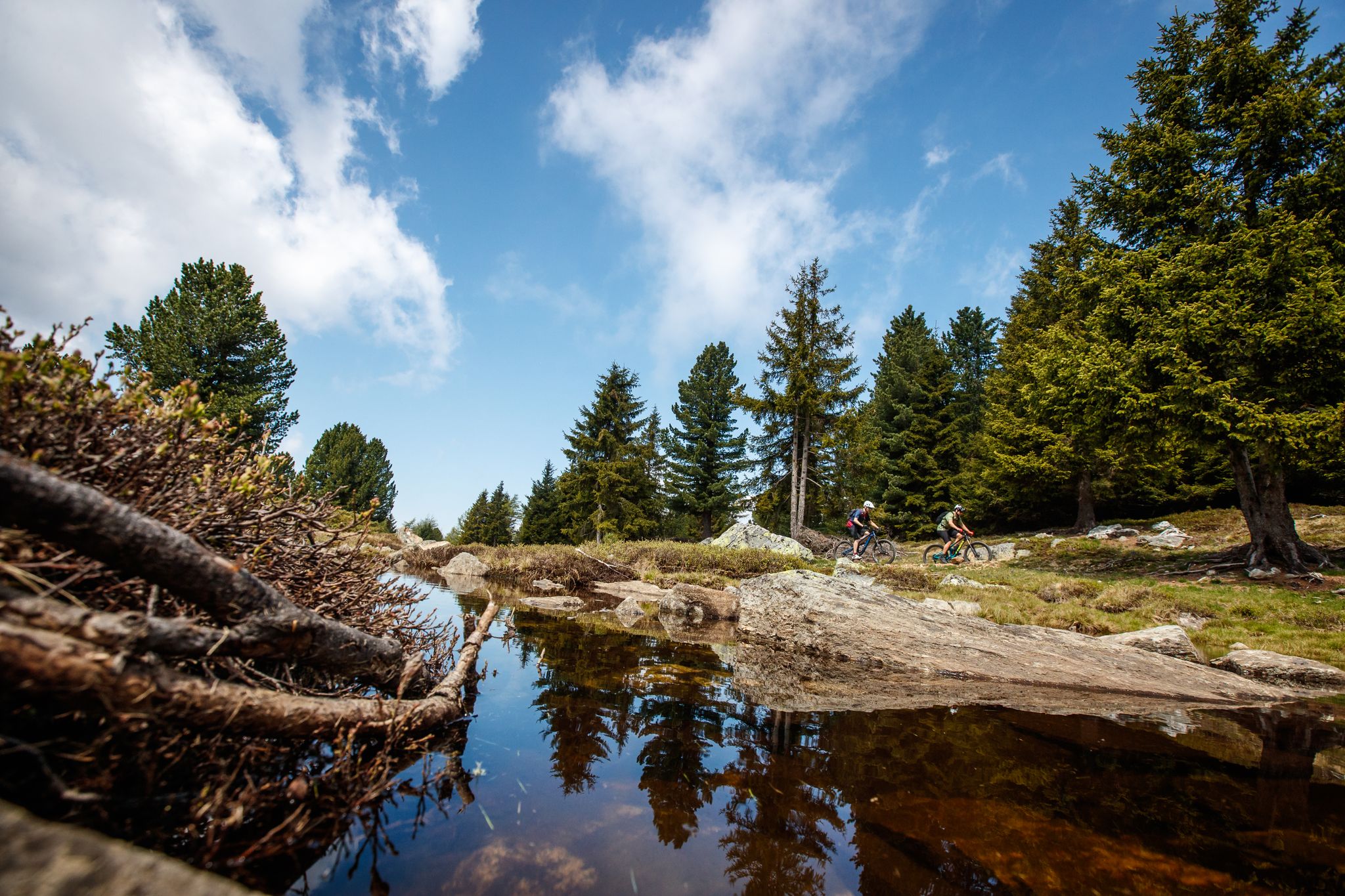
Bike between palm trees and glaciers in South Tyrol – Merano and Vinschgau
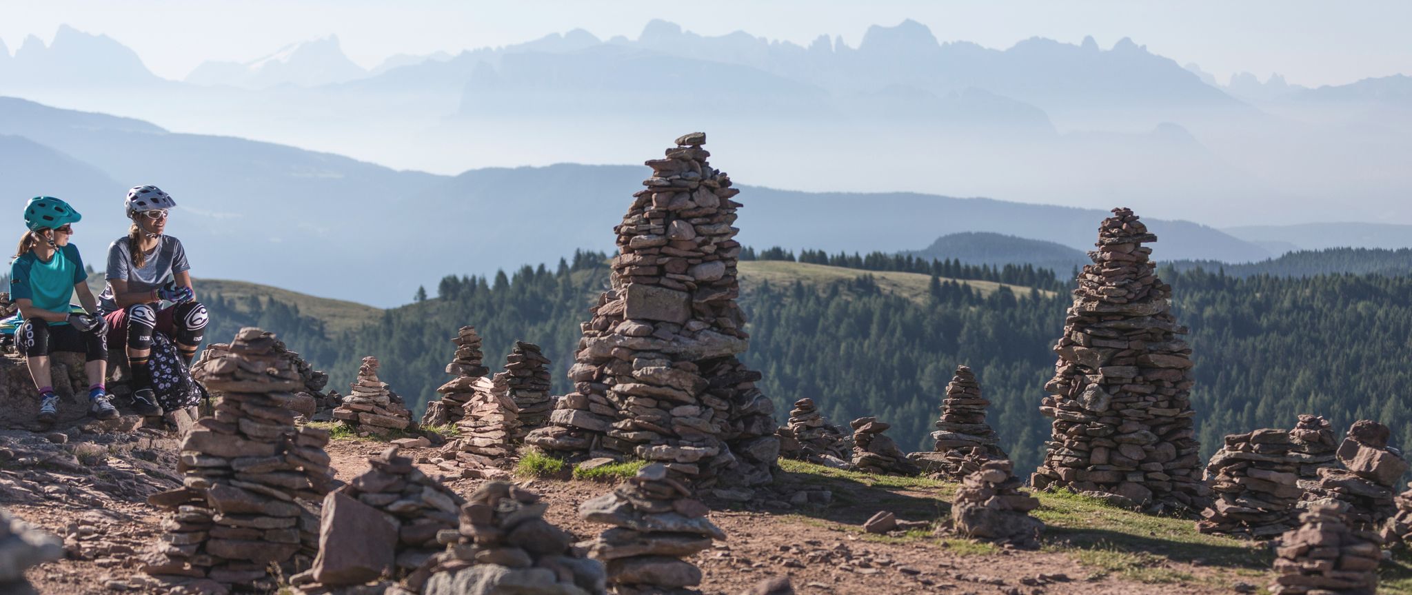
Summertime mountain biking South Tyrol
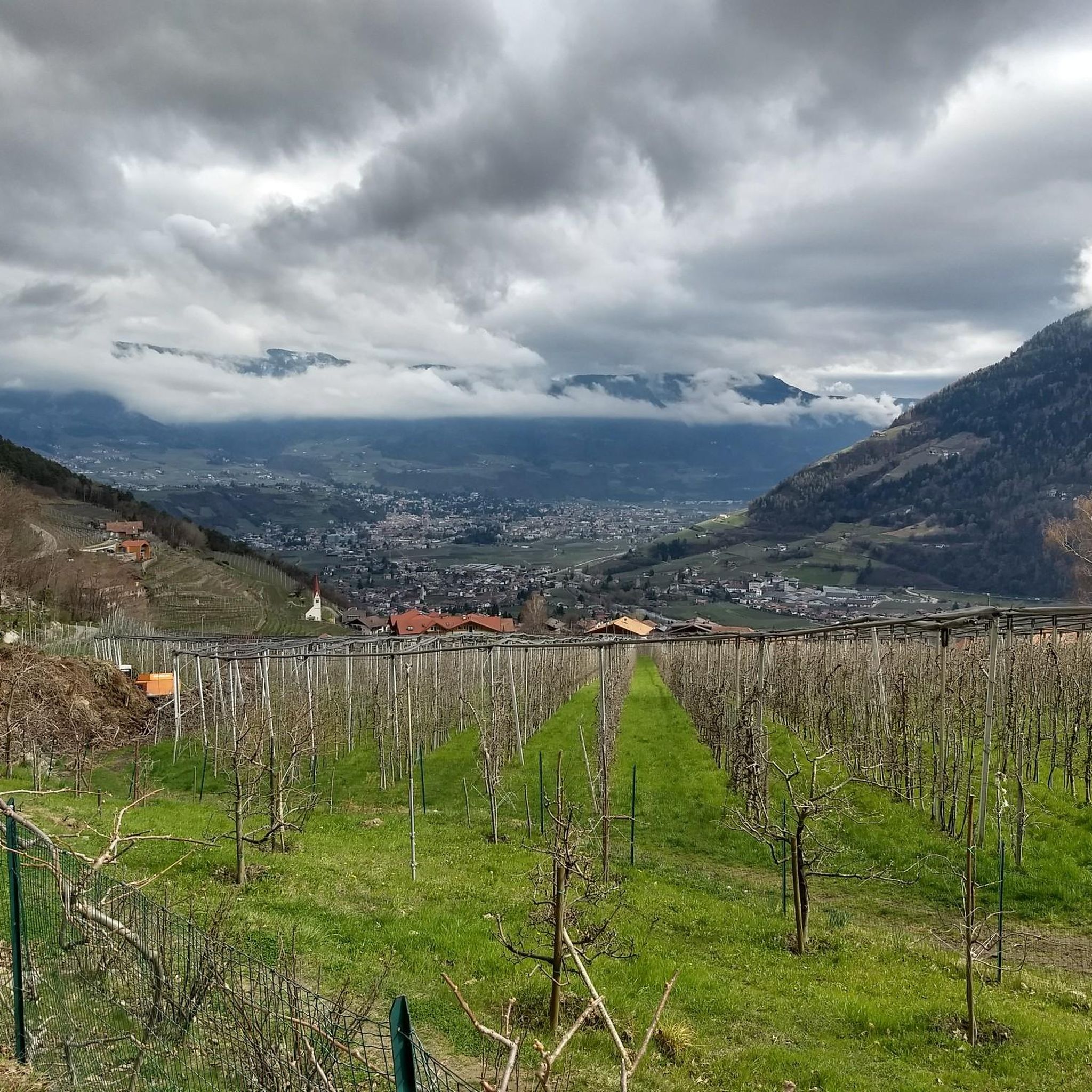
Hiking around Algund - Lagundo
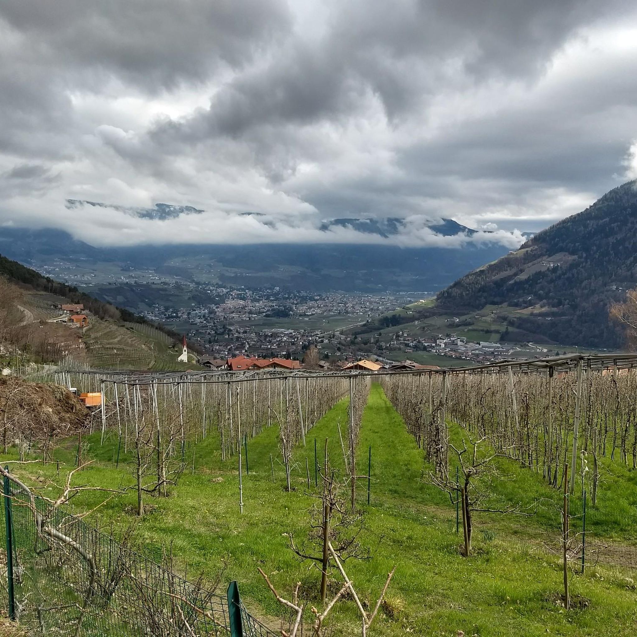
Cycling around Algund - Lagundo
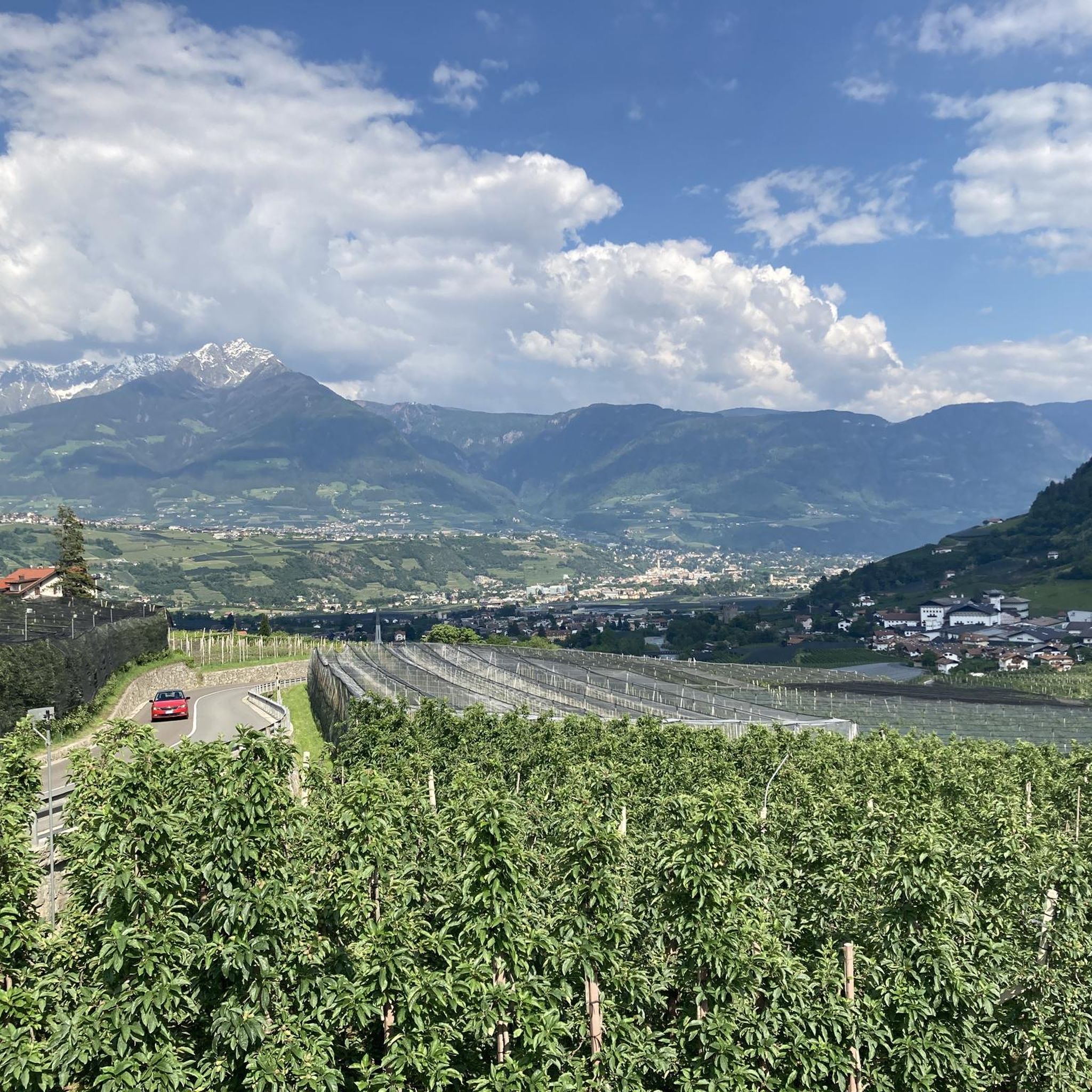
MTB Trails around Algund - Lagundo
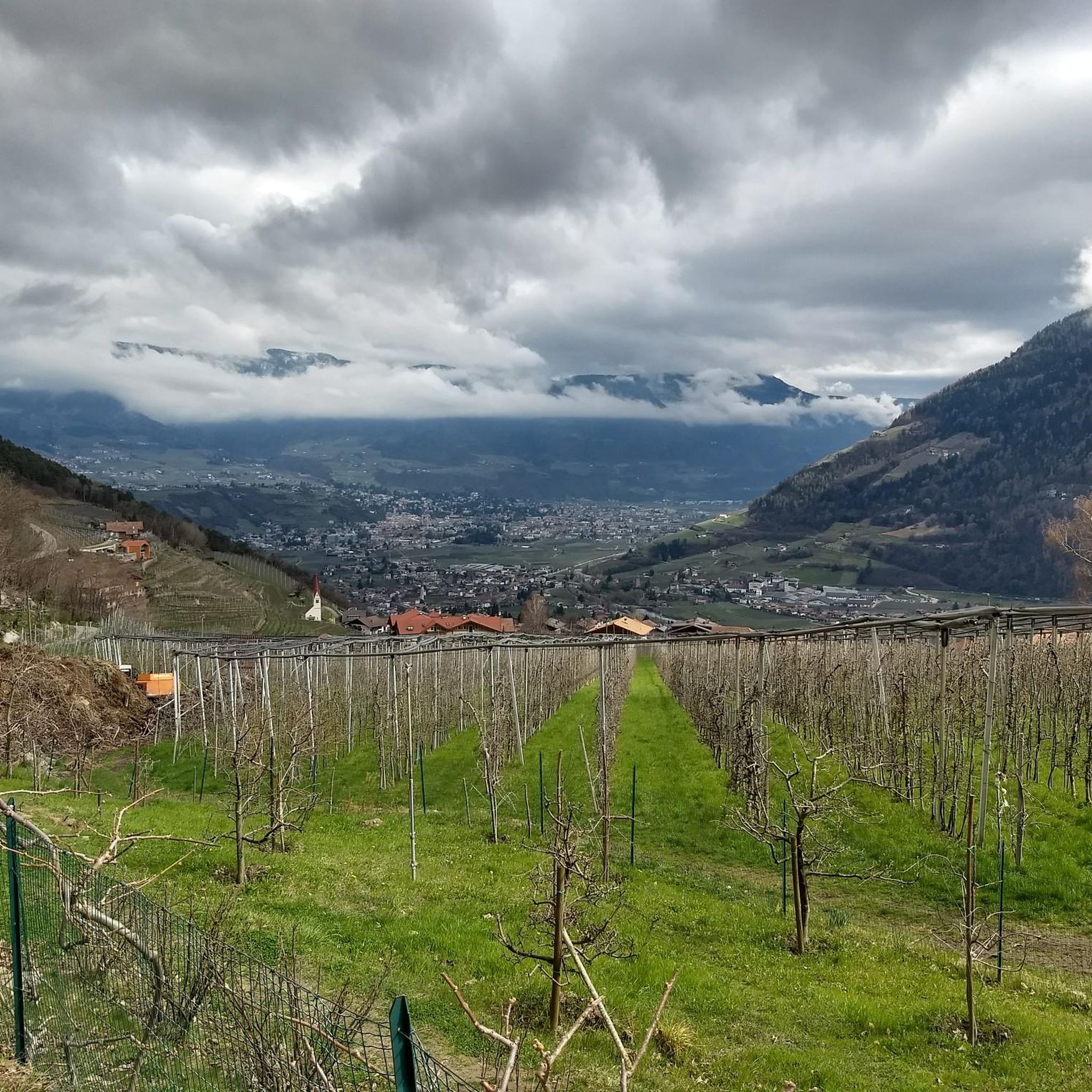
Road Cycling Routes around Algund - Lagundo
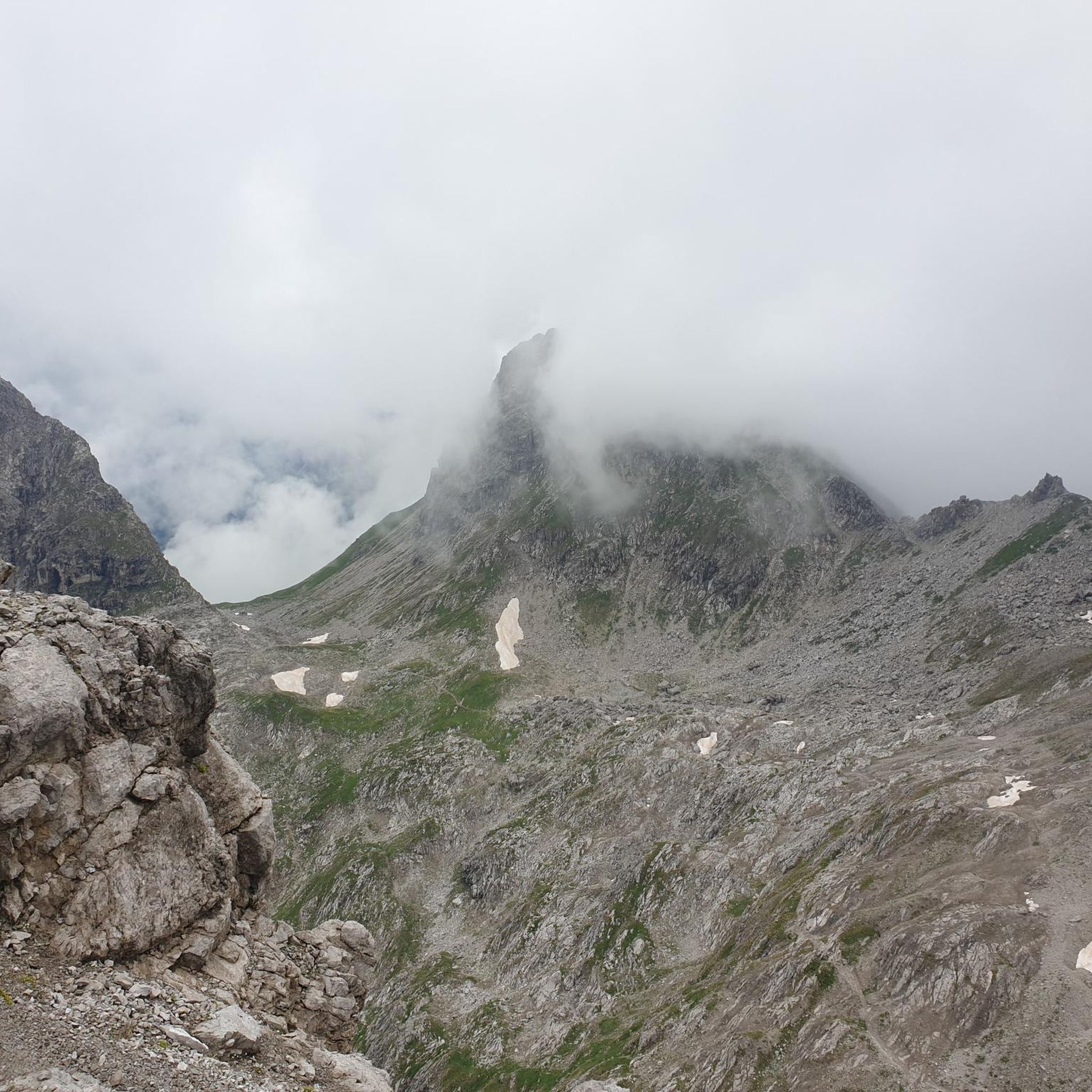
Gravel biking around Algund - Lagundo
Running Trails around Algund - Lagundo

Mountain Hikes around Algund - Lagundo
Other adventures around Algund - Lagundo


Tips from the Community

The Laugenspitze (Italian: Monte Luco) at 2,434 meters is the highest mountain in the Nonsberg Group in South Tyrol. The striking porphyry double peak consists of the Große Laugen (2,434 m) and the Kleine Laugen (2,297 m), which are separated by the picturesque Laugensee (2,182 m). Due to its freestanding location, it offers an excellent viewing platform over the Etschtal valley, the Meraner Land region, the Vinschgau valley, and as far as the Dolomites.
0
0

Hello, does anyone know if the Spronser Joch is currently accessible (June 21, 2025). Thank you for a quick message.
0
0

Here you have reached the highest point of the hike. Great view.
2
0

When we visited in June 2024, the path was heavily marked by the effects of winter. Some parts had slipped and were badly torn up by fallen rocks. It was still possible to walk it, but it was a little more difficult than usual - it's steep either way!
3
2

Attention, the Laugenalm, a popular place to stop for refreshments until recently, is unfortunately currently closed. not managed.
0
1

Mega view from the Spronserjoch.
2
0

Enjoy the view from here and descend again.
1
1

360 degree panoramic view, spatial!
0
0
Frequently Asked Questions
What are the most scenic mountain passes in Algund - Lagundo?
For breathtaking views, Taufenscharte (Taufen Pass) is highly recommended, offering panoramic vistas of the Burggrafenamt, Vinschgau, and Nördersberg. Another pass known for its stunning scenery is Spronserjoch – Sopranes Pass, which also provides expansive views, especially from its 2591-meter summit.
Which mountain passes offer a challenging experience for experienced hikers?
If you're looking for a demanding route, Eisjöchl Pass is a challenging mountain pass with rewarding scenery. Similarly, Hochgangscharte (2,455 m) — Hochgang Pass is known for its difficult, steep, and often exposed ascent, recommended only for sure-footed hikers free from giddiness.
Are there mountain passes with historical significance in the Algund - Lagundo region?
Yes, Spronserjoch – Sopranes Pass is particularly rich in history. Its original path dates back to the Middle Stone Age (around 5000 BC), and it served as a vital, albeit somber, route for carrying the deceased from Pfelders to the cemetery of St. Peter in Gratsch for centuries. Evidence of Mesolithic activity and the presence of the Counts of Castle Tyrol's alpine pastures highlight its ancient importance.
What natural features can I expect to see near the mountain passes?
The mountain passes in Algund - Lagundo are often surrounded by impressive natural features. Near Spronserjoch – Sopranes Pass, you'll find the Sprons Lakes, which constitute the highest alpine lake area in South Tyrol, featuring ten mountain lakes. Hochgangscharte (2,455 m) — Hochgang Pass offers a wonderful view of the Langsee.
What outdoor activities can I do near these mountain passes?
The region around Algund - Lagundo offers a wide network of trails for various outdoor activities. You can explore numerous road cycling routes, gravel biking trails, and running paths. For more details on specific routes, you can check out the Road Cycling Routes around Algund - Lagundo, Gravel biking around Algund - Lagundo, and Running Trails around Algund - Lagundo guides.
Are there any mountain passes suitable for intermediate cyclists?
The Ascent to Passo delle Palade from Lana is an intermediate climb that connects the Val d'Adige with the Val di Non. It's about 18 kilometers long with a 1200-meter elevation gain, featuring a fairly constant gradient and numerous hairpin bends through the woods. Cyclists often recommend riding it early in the morning due to traffic.
What is the best time of year to visit the mountain passes in Algund - Lagundo?
The best time to visit the mountain passes in Algund - Lagundo is generally from late spring to early autumn (May to October) when the weather is most favorable for hiking and cycling. During these months, the trails are typically clear of snow, and the alpine scenery is at its most vibrant. Some higher passes might still have snow earlier in spring or later in autumn.
What do visitors appreciate most about the mountain passes in Algund - Lagundo?
Visitors frequently praise the spectacular views and the sense of accomplishment after reaching the summits. Many highlight the panoramic vistas from passes like Taufenscharte (Taufen Pass) and the rewarding scenery of challenging routes like Eisjöchl Pass. The unique blend of natural beauty and historical intrigue, particularly at Spronserjoch – Sopranes Pass, is also highly valued.
How accessible are the mountain passes from Algund - Lagundo?
Many routes to the mountain passes are accessible directly from the village center of Algund - Lagundo. Additionally, convenient cable car rides can help visitors reach higher starting points, making the diverse network of hiking and biking trails across varying altitudes (from 300 to nearly 3,000 meters) more manageable.
Are there any specific tips for cycling the mountain passes?
For cyclists tackling passes like the Ascent to Passo delle Palade from Lana, it's often recommended to start early in the morning (between 6:00 and 8:00 AM) to avoid heavy traffic from commuters, tourists, and other vehicles. This ensures a quieter and more enjoyable ascent. For challenging passes like Eisjöchl Pass, starting from Pfossental is often suggested for a more rideable experience.
Can I find information on local amenities like cafes or accommodation near the mountain passes?
While specific cafes or accommodations directly at the highest mountain passes might be limited, the region around Algund - Lagundo and the nearby valleys offer numerous options. Many hiking and biking routes pass by traditional farmhouses and mountain huts where refreshments are available. For broader information on paths and alpine pastures in the Lagundo area, you might find additional context on the Visit Merano website.
Most popular routes around Algund - Lagundo
Most popular attractions around Algund - Lagundo

Get inspired with the komoot mobile app


Explore more
See even more epic mountain passes by checking out these guides around Algund - Lagundo:
