Top 20 Natural Monuments around Nijlen
Best natural monuments around Nijlen offer diverse natural areas for exploration. The region features a mix of forests, heathlands, and historical waterways. These areas provide opportunities to observe local flora and fauna, as well as tranquil settings close to urban environments. Nijlen's landscape is characterized by its blend of natural beauty and historical significance.
Best natural monuments around Nijlen
- The most popular natural monuments is Kesselse Heath, a forest that features a mix of scrub heather, coniferous and deciduous…
Last updated: June 26, 2026
Kesselse Heath
Highlight • Forest
Translated by Google •
Tip by

Vrieselhof Castle
Highlight • Castle
Translated by Google •
Tip by

Sign up now to discover places like this
Get recommendations on the best single tracks, peaks, & plenty of other exciting outdoor places.
Sign up for free
Cycling along the Anti-Tank Canal
Highlight • River
Translated by Google •
Tip by
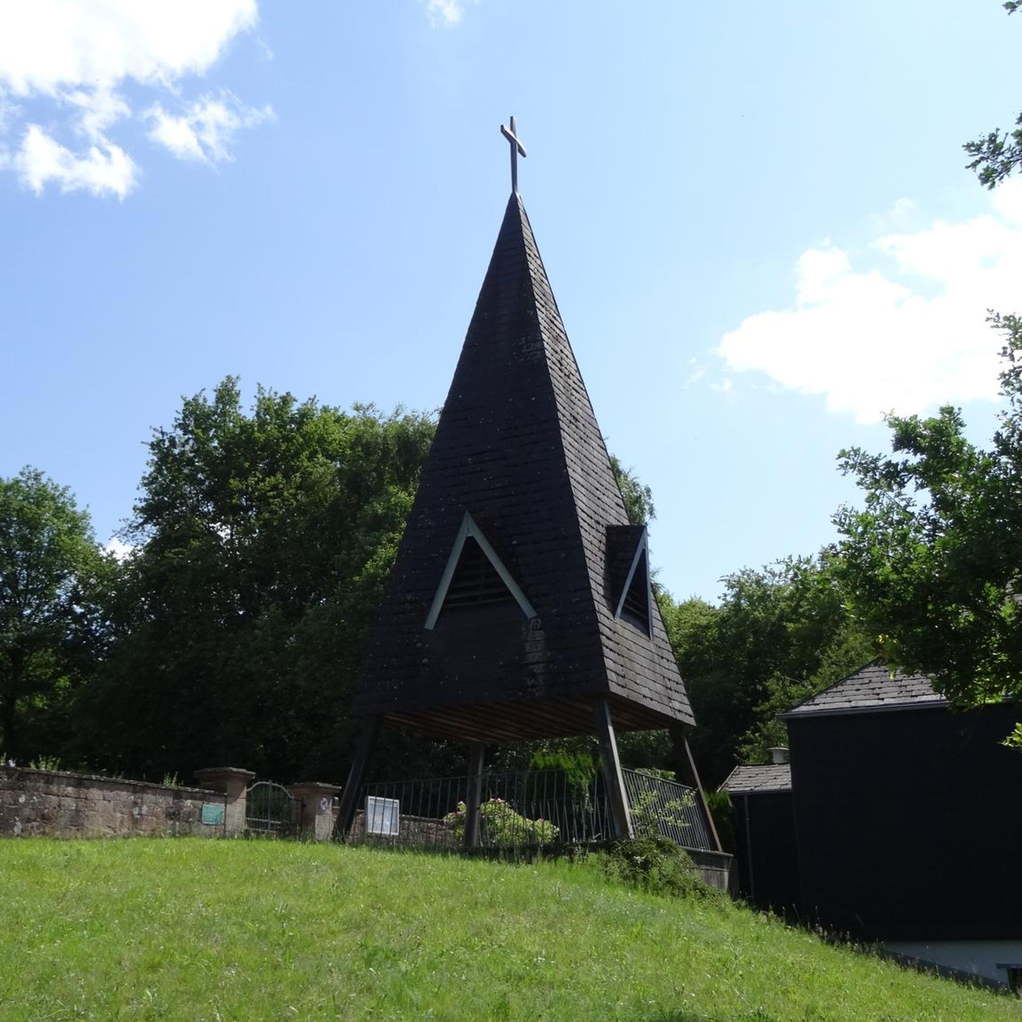
Kruiskensberg Pilgrimage Site
Highlight • Religious Site
Translated by Google •
Tip by

Antitank canal dug between 1937 and 1939
Highlight • River
Translated by Google •
Tip by

Sign up for free to discover even more natural monuments around Nijlen.
Sign up for free
Already have an account?
Start today with a free account
Your next adventure awaits.
Login or Signup
Tips from the Community

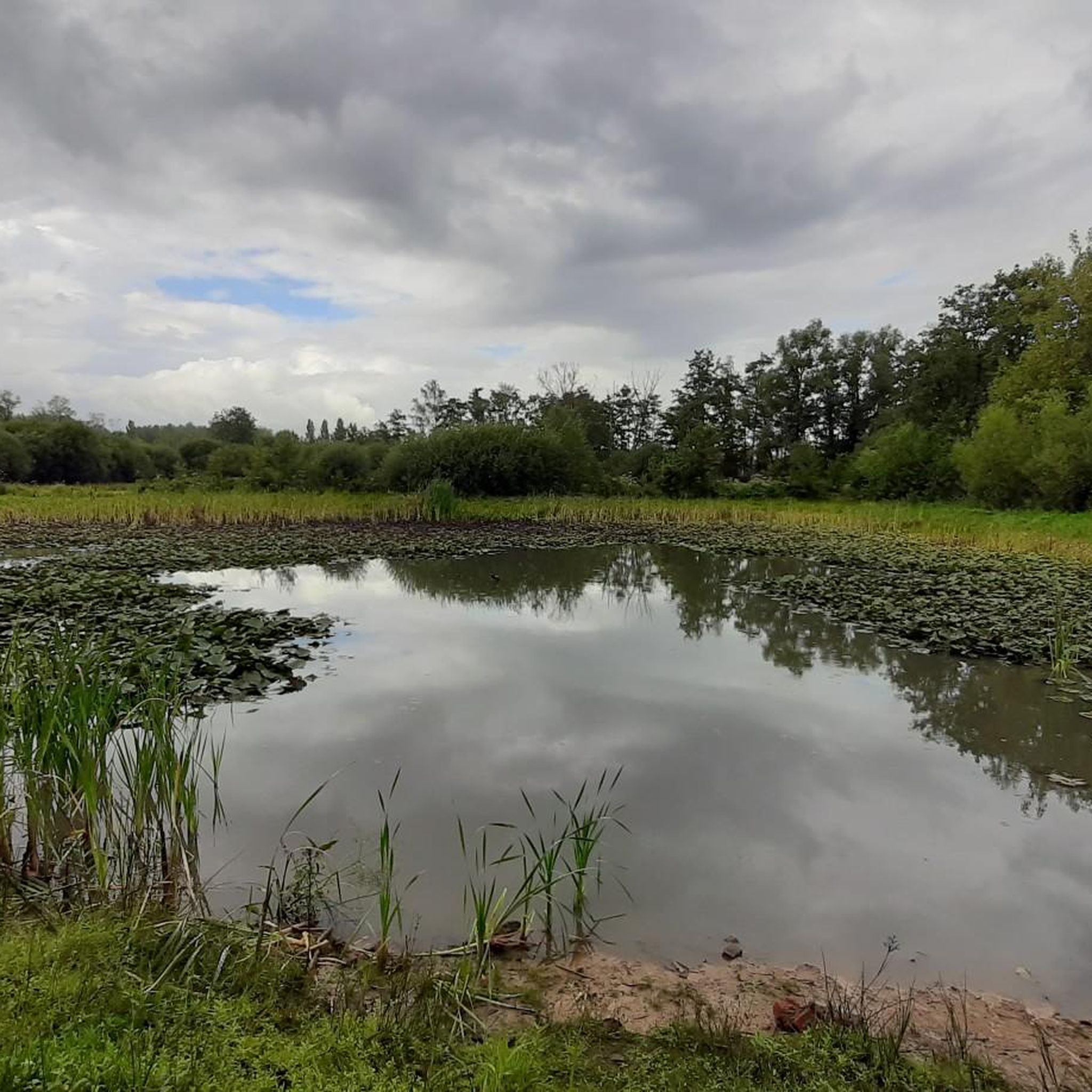
The Kesselse Heide is a provincial green space covering 79 hectares, 61 of which are open to the public. The initial acquisition took place in 1978, and it has been expanded since then. The entrance is located in Nijlen, at Vaerestraat 4. The space is freely accessible daily from sunrise to sunset. There are two ponds in the area. These old wells not only provide a pleasant change of scenery but are also a boon for the many plants and animals. Since 1996, the Kesselse Heide has been a protected landscape. It is one of the few remaining remnants of the once vast Kempen heathlands. The heath is a living community created in our region by humans. Historical agricultural practices created a landscape that has been preserved through human intervention: grazing by sheep, burning the heath, and sod cutting. Sod cutting is the removal of the topsoil and vegetation. A dug-out sod of plants and their roots is a sod. If heathland is left untreated, it will evolve into oak and birch forests, and the typical species associated with a heathland habitat will disappear. In the mid-19th century, the Kesselse Heide—like many other parts of the Kempen region—was afforested with Scots pine, a valuable timber for mining. However, during both World Wars, these sod-covered forests were felled, and from then on, the heathland was able to expand again. Current management consists of removing trees and mechanically cutting sods to give the open heathland every chance to thrive. https://youtu.be/NoPf0HSeFz8
6
0

The Kesselse Heide-Het Goor area consists of a variety of nutrient-poor meadows, pastures, marshes, and ponds, bordered and crisscrossed by enclosed landscape types, and contains numerous landscape elements. The area is characterized by a richly varied and sometimes rare flora. Several historic farm buildings can be found within the area. The Kesselse Heide-Het Goor area, with an area of approximately 2,620 hectares, is located between the villages of Nijlen and Kessel, north of the Lier-Herentals road. The northern border of this area is along Vogelzangstraat, the eastern border along Achterbist, Kannaertsstraat, and Goorstraat. The Grote Steenweg forms the southern border, and the western border is formed by Heidestraat and Vaerestraat. The landscape includes the following topographical areas: "Kannaerdsche Heyde," "Kesselse Heide," "Mol Heide," "Achterbiest," "Het Hoog Bosch," "De Hooge Heide," "Het Armveld," "De Schommers" or "Vissen Eynde," "Het Goor," "Het Goorkasteel," and "Hoge Heyde." Several streams traverse the area, specifically the Goorkantloop, the Elstbeek, the Paddenloop, Blauwe Hoekloop, and the Visbeek. The elevation within the area varies from approximately 5 meters +TAW to approximately 10 meters +TAW. Inventory of Immovable Heritage: Kesselse Heide-Het Goor, https://id.erfgoed.net/erfgoedobjecten/302886
7
0

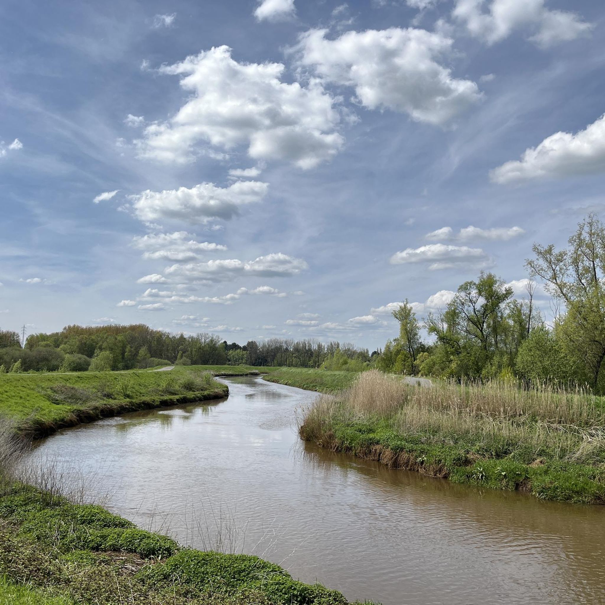
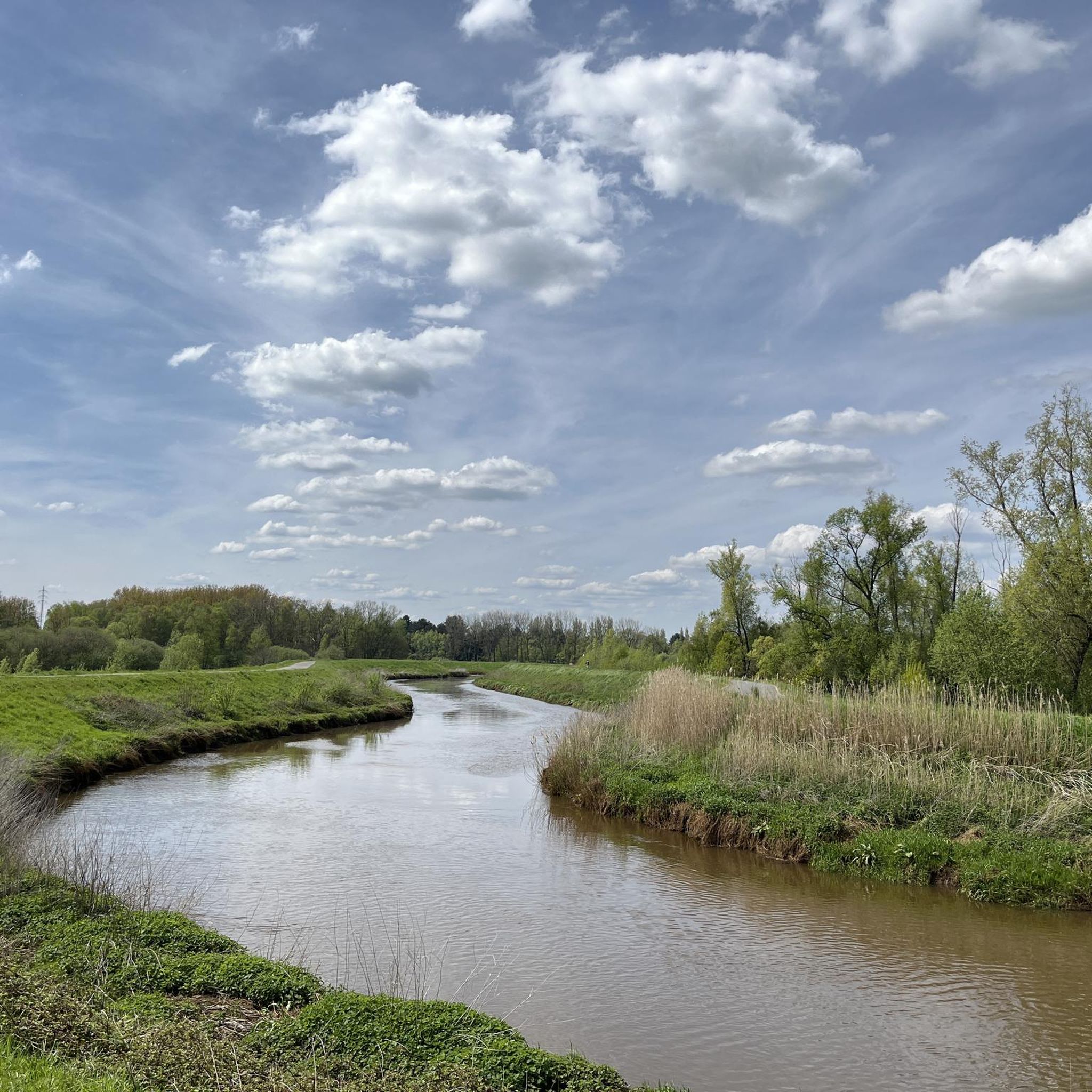
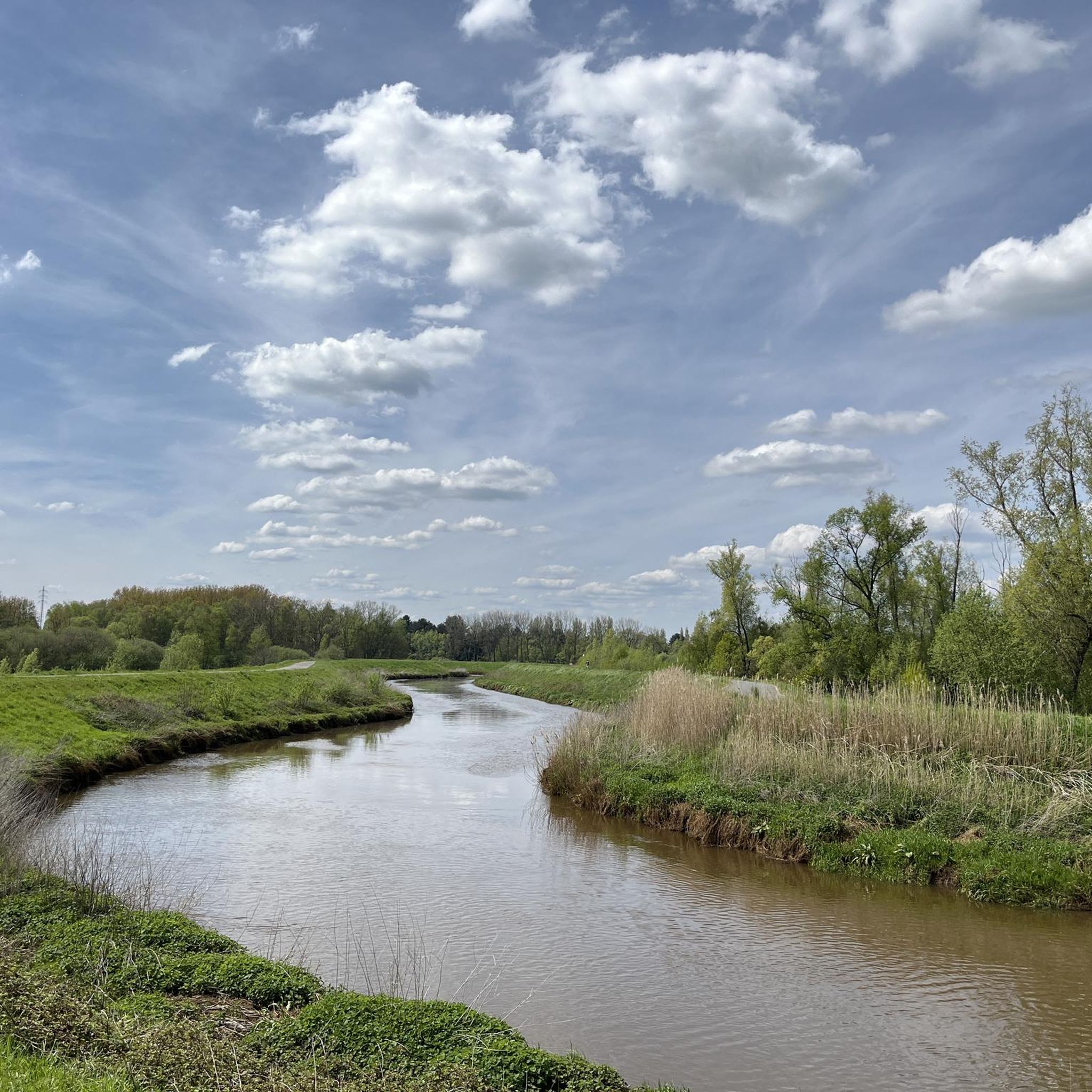
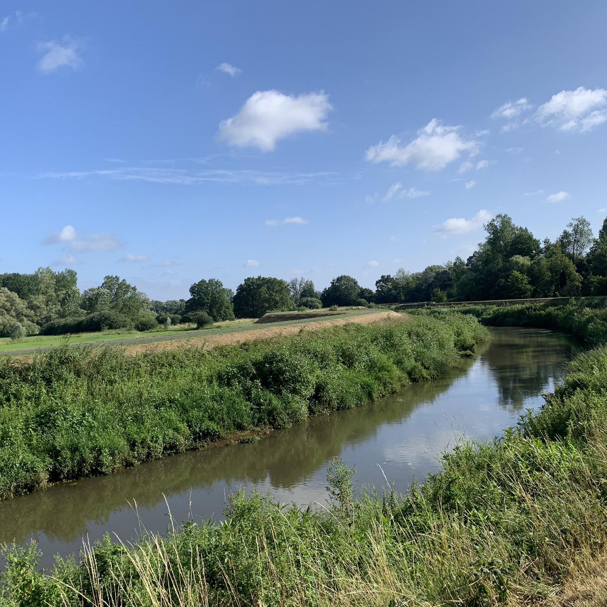
It is indeed beautiful to walk and cycle along the anti-tank ditch. And hereby: it is a ditch and not a canal. I am lucky to be able to enjoy it every day because I live along the anti-tank ditch (in Sint Job in't Goor)
2
0

Very nice walk with a lot of variety in landscapes and terrain.
3
0

It is very quiet here to walk. Just enjoy the green surroundings,
8
0

The name "Vrieselhof" goes back to Jan van Vriesele, a nobleman from Kontich who bought approximately 24 hectares of land in Oelegem around 1300 (approximately 32 hectares). In 1975, a year after the sale to the province of Antwerp, the domain was opened to hikers. From 1977 to 1999 the "Provincial Textile and Costume Museum" was located in the Vrieselhof. Due to a lack of resources, only a limited part of the collection could be exhibited. In 2002, the museum moved to Antwerp and was named Fashion Museum Antwerp. In 2003, the Provincial Library Center settled in the castle, together with administrative services. In 2011, a "library of Flemish classics" was opened within the Provincial Library Center. Works by classical Flemish writers are collected and loaned out here. In 2014, the Antwerp provincial council decided to restructure the culture department. The library center would be merged with the Cultural Dissemination and Arts Service into a new Libraries and Arts Service. In 2015, the Provincial Library Center moved to Antwerp, but the collection of Flemish classics remained in the Vrieselhof.
7
0

Historical interpretation: The anti-tank ditch is a 33 km long defensive ditch northeast of Antwerp, between the Scheldt and the Albert Canal. The canal was constructed between 1938 and 1940 as part of the Antwerp fortress. In the 1930s, the Belgian army reoriented the fortress into a defense for infantry (support points) and machine gun companies. The military added the anti-tank ditch and bunker lines (KW line) to the existing defense by forts and redoubts. The aim was to stop tanks. That is why the anti-tank ditch had to have a slope, depth and width that a tank of that time could not exceed: a bottom of at least six meters width a width of 18m at the water surface a depth of at least three meters a minimum water level of two meters slopes of 45° Originally, the Antitankgracht was going to be a dry canal, but because it filled up with water, it was forced to be converted into a wet canal. The route had to bridge a height difference of approximately 3 to 18.5 m (DTM). That is why it was divided into about 45 sections with locks. A slide in the lock regulated the water flow and thus maintained the level. The water came partly from seepage water or local streams and partly from the Maas, supplied via the Dessel-Schoten canal. Because control over water levels was so important, each lock was defended by a bunker. The bunkers at the Antitankgracht consist of lock bunkers with flanking daughter bunkers and flanking bunkers. The lock bunkers are elongated free-standing bunkers with a large blank wall, camouflaged by 'eggs' and were usually equipped for two machine guns.
10
0
In the Kempen region, heathland is a cultural landscape that developed long ago through the frequent grazing of sheep on poor sandy soils. Since then, heathland has become valuable and rare. The Kesselse Heide provincial green space is all that remains of a much larger heathland area. Since 2023, the Kesselse Heide can also be explored as a heritage site. Various information boards provide information on folklore, landscape features, the wartime history, and more. You can find some photos of these new boards in the photo section of this highlight.
8
2
Frequently Asked Questions
What are some unique natural features to explore around Nijlen?
Nijlen offers a variety of natural features. You can explore the diverse landscape of Kesselse Heath, which includes scrub heather, coniferous and deciduous forests, sandy plains, and fens. Another unique feature is the Anti-Tank Canal, a former military structure that has transformed into a natural ribbon connecting various nature reserves, fostering diverse plant and animal life.
Are there any natural monuments around Nijlen with historical significance?
Yes, several natural monuments around Nijlen blend natural beauty with history. The Anti-Tank Canal, originally dug between 1937 and 1939, is a prime example, now serving as a nature corridor. Additionally, Vrieselhof Castle offers a historical site within a quiet, diverse natural domain. The Kruiskensberg Pilgrimage Site also combines historical and religious elements with a natural forest setting.
What kind of wildlife can I expect to see in Nijlen's natural areas?
The natural areas around Nijlen are rich in wildlife. At Domein Nosegoed, you can observe diverse fauna and flora, especially around its pond. Langbos and Babbelse Plassen are known for their aquatic life, including frogs, salamanders, and various birds like white holes, snipes, and shelducks. The Anti-Tank Canal also acts as an "animal highway," supporting a great diversity of plants and animals, many of which are rare in other parts of Flanders.
Are there family-friendly natural monuments suitable for children?
Absolutely! Kesselse Heath is highly recommended, with expansive sands that children can enjoy as an ultimate sandbox. The Anti-Tank Canal is also family-friendly, offering pleasant routes for cycling and walking. Vrieselhof Castle and the Kruiskensberg Pilgrimage Site also welcome families, providing space for exploration within natural and historical settings.
What are the best natural areas for tranquil walks and relaxation?
For tranquility, Domein Nosegoed is highly recommended. It features a pond with a bench, offering a peaceful spot to relax in a rural setting. The Antitank canal dug between 1937 and 1939 is also noted for its quiet green surroundings, perfect for a peaceful walk. The domain around Vrieselhof Castle also offers an impressively quiet atmosphere.
What kind of outdoor activities can I do near Nijlen's natural monuments?
The region around Nijlen offers numerous outdoor activities. You can enjoy road cycling, touring cycling, and gravel biking. For example, there are routes like the "Path along the Grote Nete – Netekanaal loop" for road cycling, the "Little Nete – Kleine Nete Dike Trail loop" for touring, and the "Forest Paths – Borrekens Castle loop" for gravel biking. You can find more details on these activities and routes in the Road Cycling Routes around Nijlen, Cycling around Nijlen, and Gravel biking around Nijlen guides.
Are there specific hiking trails or paths to follow in these natural areas?
Yes, many natural areas feature designated paths. At Kesselse Heath, the Heidepad takes you along the most beautiful spots. The Anti-Tank Canal is an attractive natural ribbon for walking and cycling. While not explicitly mentioned as a hiking trail, the quiet surroundings of the Antitank canal dug between 1937 and 1939 are ideal for walks.
What is the best time of year to visit the natural monuments around Nijlen?
The natural monuments around Nijlen offer beauty throughout the year. Langbos and Babbelse Plassen are particularly vibrant in spring when you can enjoy the pink hues of cuckoo flowers and spot rare plants. Vrieselhof Castle's domain, with its variety of biotopes, takes on a different appearance every season, ensuring a unique experience whenever you visit.
What are some lesser-known or 'hidden gems' among Nijlen's natural monuments?
While not widely publicized as 'monuments,' areas like Domein Nosegoed offer a tranquil, rural escape with diverse flora and fauna. Langbos and Babbelse Plassen, with their replanted forest and rich aquatic life, provide a unique opportunity to witness nature's recovery and observe various species. The historical Kruiskensberg Pilgrimage Site also offers a blend of nature and history off the beaten path.
What do visitors appreciate most about the natural monuments in Nijlen?
Visitors frequently appreciate the authentic landscapes and the opportunity to connect with nature. For instance, the typical heath vegetation and expansive sands of Kesselse Heath are highly valued. The transformation of the Anti-Tank Canal from a military structure into a vibrant natural ribbon for walking and cycling is also a popular highlight, offering both natural beauty and historical context.
Are there any natural monuments that are particularly good for birdwatching?
Yes, Langbos and Babbelse Plassen are excellent for birdwatching, especially for species like white holes, snipes, and shelducks, thanks to their diverse aquatic habitats. The Anti-Tank Canal also supports a wide variety of animal life, including many bird species, as it connects various nature reserves.
Most popular attractions around Nijlen

Get inspired with the komoot mobile app


Explore more
Extend your search for the best caves by checking out these guides of the top ones around Nijlen:
