The best walks and hikes around Ballybrick
4.3
(3)
29
hikers
4
hikes
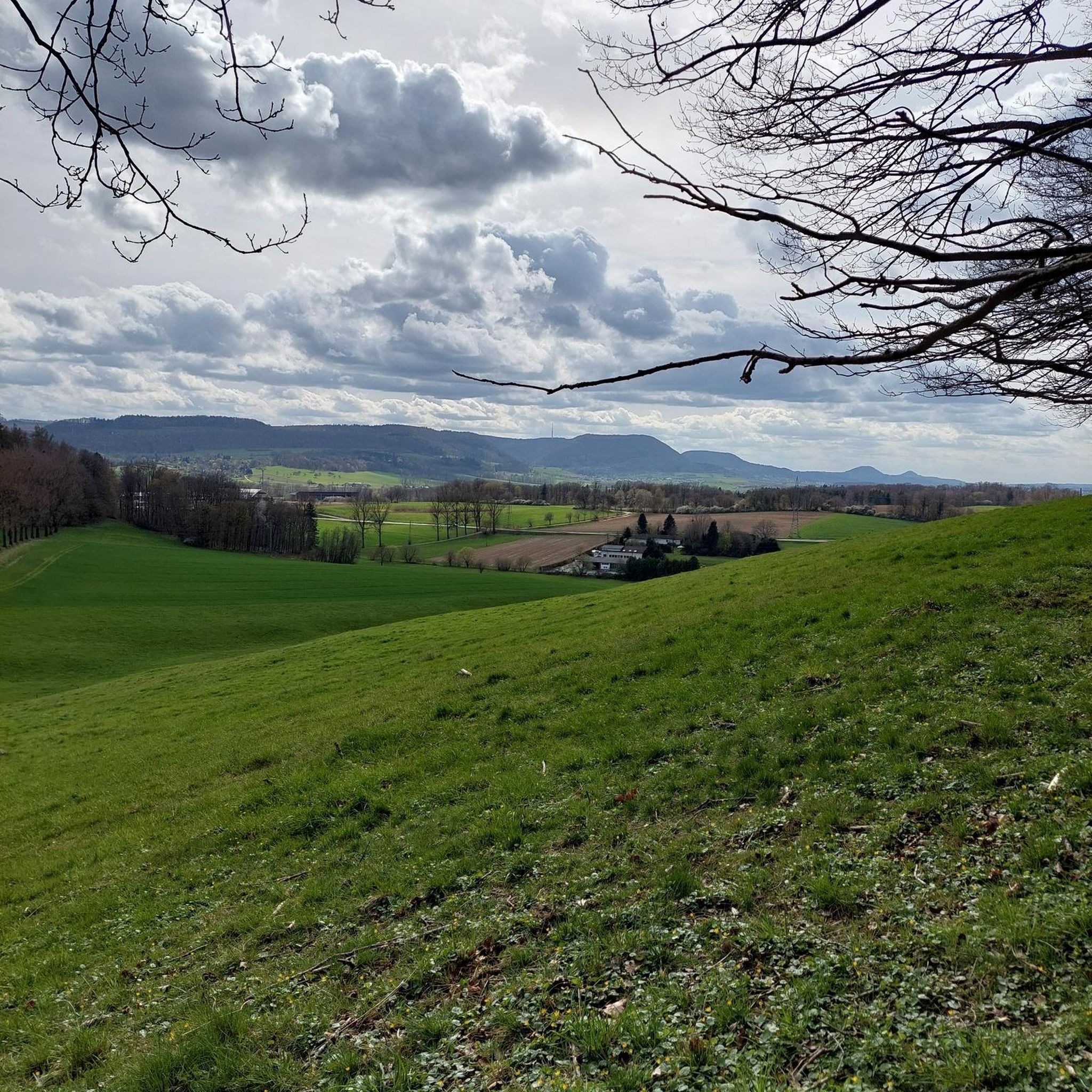
Hiking around Ballybrick offers access to rural landscapes characterized by historical sites like ringforts and dolmens. The terrain typically features gentle ascents and descents across open countryside. These routes provide opportunities to explore the local heritage and natural surroundings.
Best hiking trails around Ballybrick
- The most popular hiking route is Coolnacran Ringfort loop from Loughbrickland, a 2.6 miles (4.2 km) trail that takes 1 hour 8 minutes to complete. This easy route leads through historical sites and rural scenery. …
Last updated: June 28, 2026
4.3
(3)
25
hikers
4.08km
01:07
60m
60m
Easy hike. Great for any fitness level. Easily-accessible paths. Suitable for all skill levels.
1
hikers
4.90km
01:23
100m
100m
Easy hike. Great for any fitness level. Easily-accessible paths. Suitable for all skill levels.

Sign up for free
1
hikers
6.52km
01:52
160m
160m
Easy hike. Great for any fitness level. Easily-accessible paths. Suitable for all skill levels.
1
hikers
5.04km
01:25
100m
100m
Easy hike. Great for any fitness level. Easily-accessible paths. Suitable for all skill levels.
1
hikers
6.39km
01:48
130m
140m
Easy hike. Great for any fitness level. Easily-accessible paths. Suitable for all skill levels.
Our route recommendations are based on thousands of hikes, rides, and runs completed by other people on komoot.
Start today with a free account
Your next adventure awaits.
Login or Signup



Tips from the Community

Nestled away in the lovely Loughbrickland Forest lies a bronze age ringfort or rath. With its peaceful location surrounded by trees Coolnacran Fort has an almost mystical feel. In spring bluebells carpet the area, and you can explore the interior of the fort. The Forest also has designated walking routes throughout.
0
0
Perfect vistas surround you, with the Cratlieve Mountain to your North and the Tullynasoo range, and Castlewellan Forest Park to the South. If you fancy a rest, there's a pathway to a viewpoint through the Car Park on your right.
0
0
The Windy Gap is a well know view point, well worth the effort up here. You're surrounded by the Mourne and Slieve Croob hills in this area of outstanding natural beauty.
0
0
This famous, much illustrated, tripod portal tomb is settled in the midst of the magical Mournes, and has a large flat capstone gracefully balanced on three unusually tall supporting stones. There are slight traces of a cairn, and early records suggest ‘urns’ had been found in the dolmen. I don't think it has been excavated yet.
0
0

Frequently Asked Questions
How many hiking trails are available around Ballybrick?
There are 4 hiking routes listed in the Ballybrick area, offering a mix of easy and moderate options. These trails allow you to explore rural landscapes and historical sites.
Are there any easy hiking trails suitable for beginners in Ballybrick?
Yes, most of the trails around Ballybrick are rated as easy. For example, the Coolnacran Ringfort loop from Loughbrickland is an easy 4.2 km route, and the Hiking loop from Legananny Dolmen is another easy option at 4.9 km.
What kind of terrain can I expect on Ballybrick's hiking trails?
The terrain around Ballybrick typically features gentle ascents and descents across open countryside. You'll find paths leading through rural landscapes and past historical sites like ringforts and dolmens.
Are there any circular walks in Ballybrick?
Yes, several routes are designed as loops. The Coolnacran Ringfort loop from Loughbrickland and the Hiking loop from Legananny Dolmen are both circular routes, allowing you to start and end at the same point.
What historical sites or landmarks can I see while hiking in Ballybrick?
The area is rich in historical interest. You can explore ancient sites like the Legananny Dolmen, a significant natural monument, and the Loughbrickland Crannóg. The Coolnacran Ringfort loop specifically leads through historical sites.
Are the hiking trails in Ballybrick suitable for families with children?
Given that most routes are rated as easy and feature gentle terrain, many of the trails around Ballybrick are suitable for families. The shorter loop options, such as the 4.2 km Coolnacran Ringfort loop, are particularly good choices for walks with children.
What do other hikers say about the trails in Ballybrick?
The hiking routes in Ballybrick are highly rated by the komoot community, with an average score of 4.3 stars from over 3 reviews. Hikers often appreciate the opportunity to explore historical sites and the peaceful rural scenery.
Is there parking available near the trailheads in Ballybrick?
While specific parking details for each trailhead are not provided, trails often start from accessible points in rural areas. It is advisable to check local signage or online maps for parking options near your chosen starting point, such as Loughbrickland or Legananny Dolmen.
Can I reach Ballybrick's hiking trails using public transport?
Information on specific public transport routes directly to Ballybrick's trailheads is limited. As Ballybrick is a rural area, public transport options might be infrequent. Planning your journey in advance and checking local bus schedules for nearby towns like Banbridge or Loughbrickland is recommended, though you may need to arrange further transport to reach the exact trail starting points.
Are there any viewpoints or scenic spots along the trails?
Yes, the area offers scenic views of the surrounding countryside. For example, the Hiking loop from Legananny Dolmen provides views of the landscape around the ancient monument. You can also find a specific View of Cratlieve Mountain from Lighthouse Road nearby.
What is the longest hike available in Ballybrick?
The longest hike listed is the Hiking loop from Derryneill, which is 7.4 km (4.6 miles) long and typically takes about 2 hours and 3 minutes to complete. This route is rated as moderate.
Most popular attractions around Ballybrick

Get inspired with the komoot mobile app


Explore more
Browse the best Hikes in other regions.
