The best walks and hikes around Kleinkahl
4.7
(212)
676
hikers
44
hikes
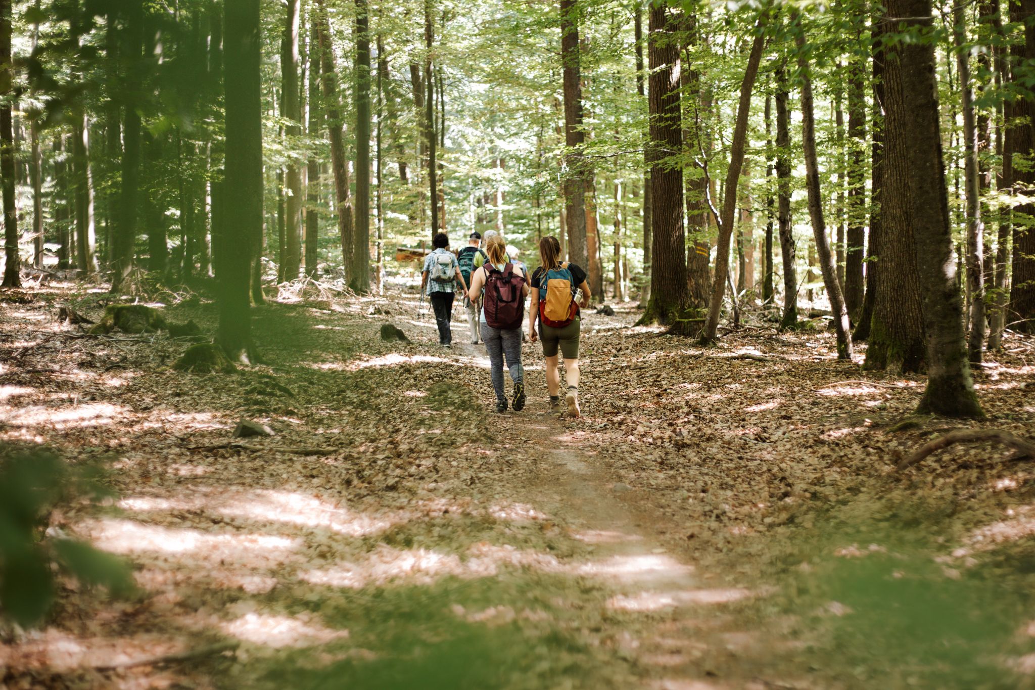
Hiking around Kleinkahl offers diverse landscapes within Germany's Spessart Nature Park, characterized by extensive mixed forests and the Spessart hills. The region features varied topography, including the source of the Kahl river, known as the Kahlquelle. This area provides a natural environment for outdoor activities, with both gentle and more challenging terrain.
Best hiking trails around Kleinkahl
- The most popular hiking route is Kneipp facility Großkahl – Kahl Springs loop from Kleinkahl, a 5.5 miles (8.8 km) trail that…
Last updated: October 4, 2026
4.7
(46)
131
hikers
8.80km
02:22
110m
110m
Moderate hike. Good fitness required. Easily-accessible paths. Suitable for all skill levels.
4.6
(36)
105
hikers
9.61km
02:36
130m
140m
Moderate hike. Good fitness required. Easily-accessible paths. Suitable for all skill levels.

4.7
(15)
29
hikers
15.2km
04:20
350m
350m
Moderate hike. Good fitness required. Easily-accessible paths. Suitable for all skill levels.
4.8
(13)
43
hikers
7.55km
02:03
100m
100m
Moderate hike. Good fitness required. Easily-accessible paths. Suitable for all skill levels.
4.8
(8)
40
hikers
12.3km
03:26
230m
230m
Moderate hike. Good fitness required. Easily-accessible paths. Suitable for all skill levels.
Get access to more routes and recommendations from other explorers.
Already have an account?
Our route recommendations are based on thousands of hikes, rides, and runs completed by other people on komoot.
Start today with a free account
Your next adventure awaits.
Other adventures around Kleinkahl

Tips from the Community

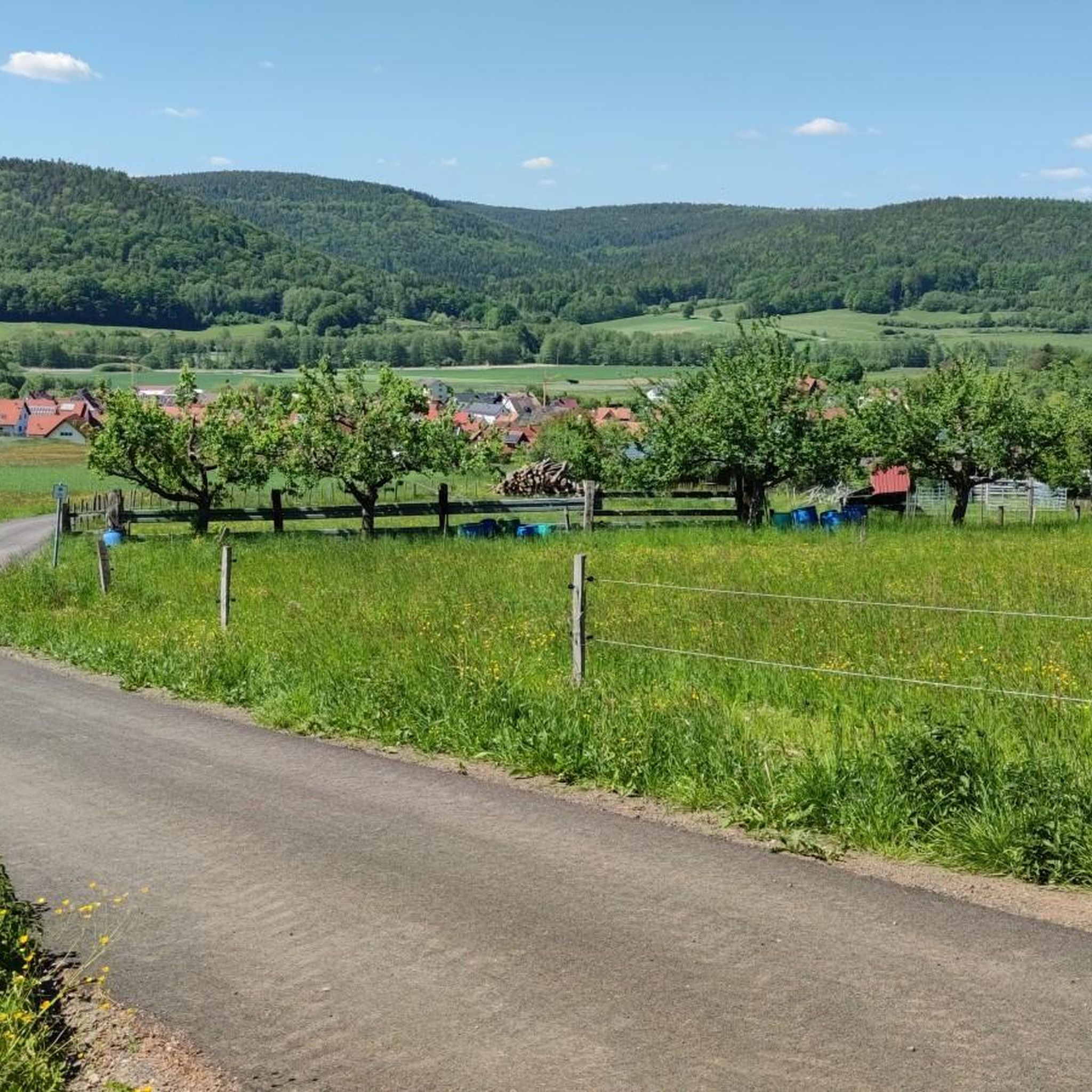
With a view into the Kahlgrund
0
0
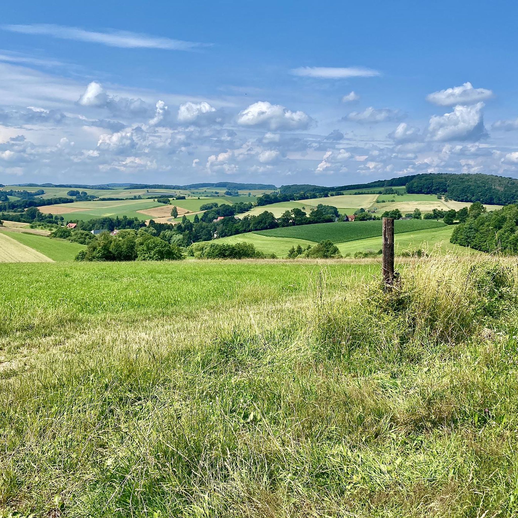
From here you can see the upper Kahlgrund.
0
0
At the Keilrain above Schöllkrippen.
0
0

The Wiesbüttmoor bog adjoins the lake immediately. This intermediate bog is the highest in the Spessart at 436 meters above sea level (NHN). The lake dams up the water from the Wiesbüttmoor bog by 3 meters. The bog and the lake are nature reserves and a refuge for many rare plant and animal species, such as Scheidenwollgras, Siebenstern, Sonnentau, or Sparrenbinsen and Kreuzotter. Source: Wikipedia
0
0
On the cycle path after the water treading facility of Kleinkahl.
0
0
Beautiful water treading facility in Kleinkahl
0
0
Behind the Kahlquelle towards Kleinkahl.
0
0
Behind the Kahlquelle towards Kleinkahl.
0
0
Frequently Asked Questions
How many hiking trails are available around Kleinkahl?
Kleinkahl offers a diverse network of nearly 40 hiking routes. These trails cater to various preferences, ranging from easy strolls to more challenging hikes through the Spessart hills.
What kind of terrain can I expect when hiking in Kleinkahl?
The terrain around Kleinkahl is characterized by extensive mixed forests and the rolling Spessart hills. You'll find a mix of gentle paths and more challenging ascents, often along the Kahl river valley, providing varied topography for hikers.
Are there any circular walks or loop trails in Kleinkahl?
Yes, many of the trails around Kleinkahl are designed as circular routes. For example, you can explore the Kneipp facility Großkahl – Kahl Springs loop from Kleinkahl, which is a popular option, or the Mill in Robert Gässchen loop from Kleinkahl.
What natural features or landmarks can I see along the hiking trails?
Kleinkahl is rich in natural and historical features. You can visit the source of the Kahl river, known as the Kahlquelle, or discover the Horbach Marian Grotto. The region also features prominent peaks like Franzosenkopf and Horst Summit, offering elevated views.
Are there any viewpoints with panoramic scenery in the area?
Absolutely. The Wartturm on the Molkenberg is a notable viewpoint, and the Rodeldfeldturm Observation Tower (mentioned in region research) provides expansive vistas stretching as far as the Taunus mountains and Ronneburg Castle.
What do other hikers enjoy most about hiking in Kleinkahl?
The komoot community highly rates the trails in Kleinkahl, with an average score of 4.7 stars from over 150 reviews. Hikers often praise the diverse landscapes, the tranquility of the mixed forests, and the well-maintained paths that lead to natural springs and historical sites.
Are there any family-friendly hiking options in Kleinkahl?
Kleinkahl offers several trails suitable for families. The 'Water Trail of Kleinkahl' is a themed hike focusing on the historical significance of water, which can be an engaging experience for children. Many of the easy to moderate routes are also great for family outings.
Can I bring my dog on the hiking trails in Kleinkahl?
Yes, the natural environment of Kleinkahl and the Spessart Nature Park is generally very welcoming for dogs. Most trails are suitable for well-behaved dogs on a leash, allowing them to enjoy the extensive forests and natural surroundings with you.
What is the best time of year to hike in Kleinkahl?
Kleinkahl offers beautiful hiking experiences year-round. The forests are lush and green in summer, providing shade, while autumn transforms the deciduous trees into vibrant displays of color, making it a particularly captivating season for walks.
Are there any trails that feature water elements like springs or lakes?
Yes, the region is known for its water features. The Kahlquelle, the source of the Kahl river, is a highlight on several routes, such as the Kahl Springs – Marian Grotto in Edelbach loop. You can also find trails leading to the Wiesbütt Lake, like the Wiesbütt Lake – View of Wiesen village loop.
Are there any cultural or historical trails in Kleinkahl?
Yes, Kleinkahl offers unique cultural trails. The 'Kleinkahl: Über dem Horizont' Cultural Trail is a 9 km path with stations detailing the Kahlquelle, historical forest use by charcoal burners and glassblowers, and mining activities, blending hiking with local history.
Most popular routes around Kleinkahl
Most popular attractions around Kleinkahl

Get inspired with the komoot mobile app


Explore more
Browse the best Hikes in other regions.
