The best MTB trails around Langley
4.0
(2)
10
riders
2
rides
Mountain biking around Langley offers a network of trails that traverse the region's diverse landscape. The area is characterized by river walkways, suburban green spaces, and routes that often connect to local points of interest. These mountain bike trails near Langley provide opportunities for exploration, with many routes being circular mountain bike routes Langley. The terrain is generally moderate, suitable for riders looking for engaging paths without extreme elevation changes.
Best mountain bike trails around Langley
- The most popular mountain…
Last updated: July 6, 2026
4.0
(2)
8
riders
Moderate mountain bike ride. Good fitness required. Advanced riding skills necessary.
2
riders
43.9km
02:41
180m
180m
Moderate mountain bike ride. Good fitness required. Suitable for all skill levels.
Our route recommendations are based on thousands of hikes, rides, and runs completed by other people on komoot.
Start today with a free account
Your next adventure awaits.
Login or Signup

Tips from the Community

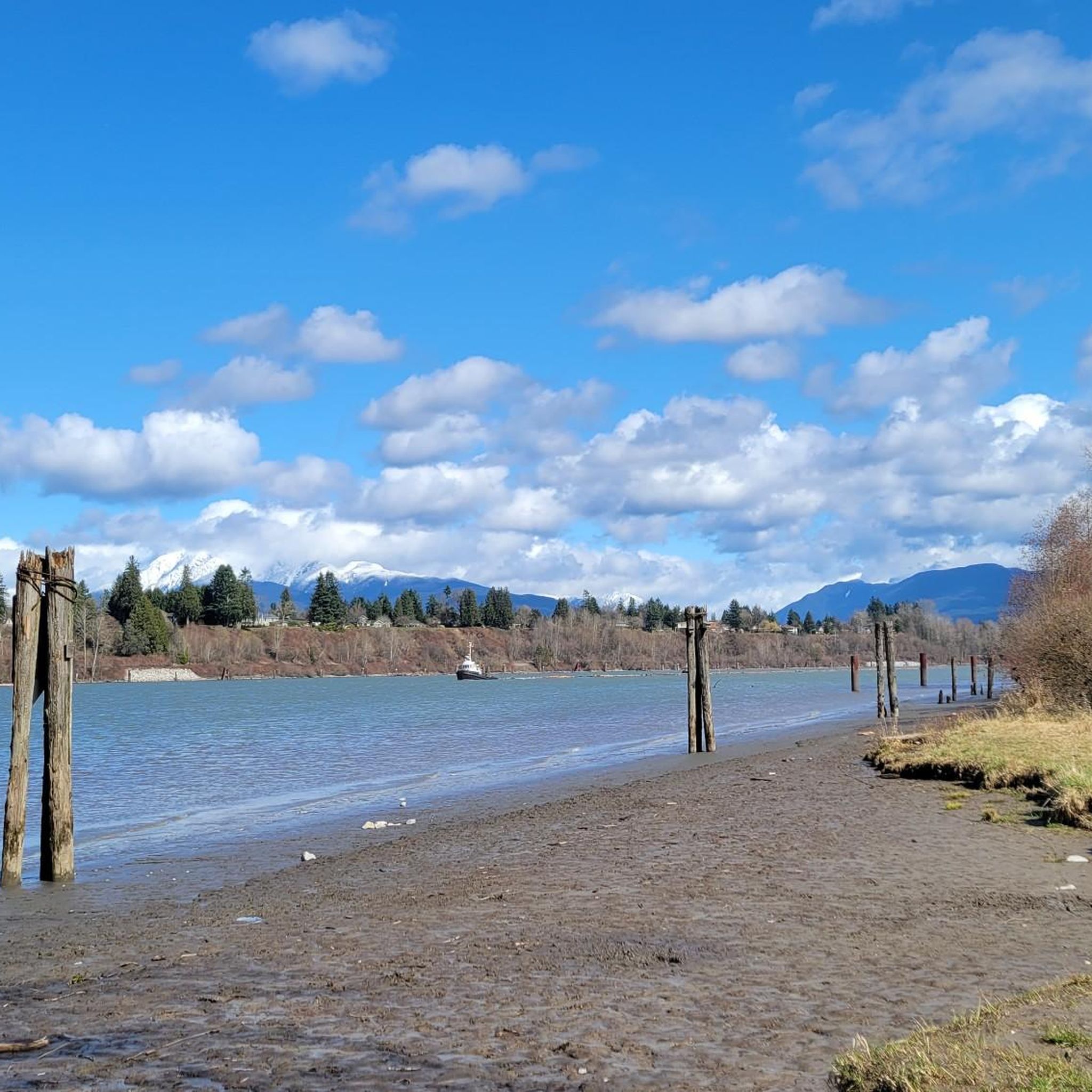
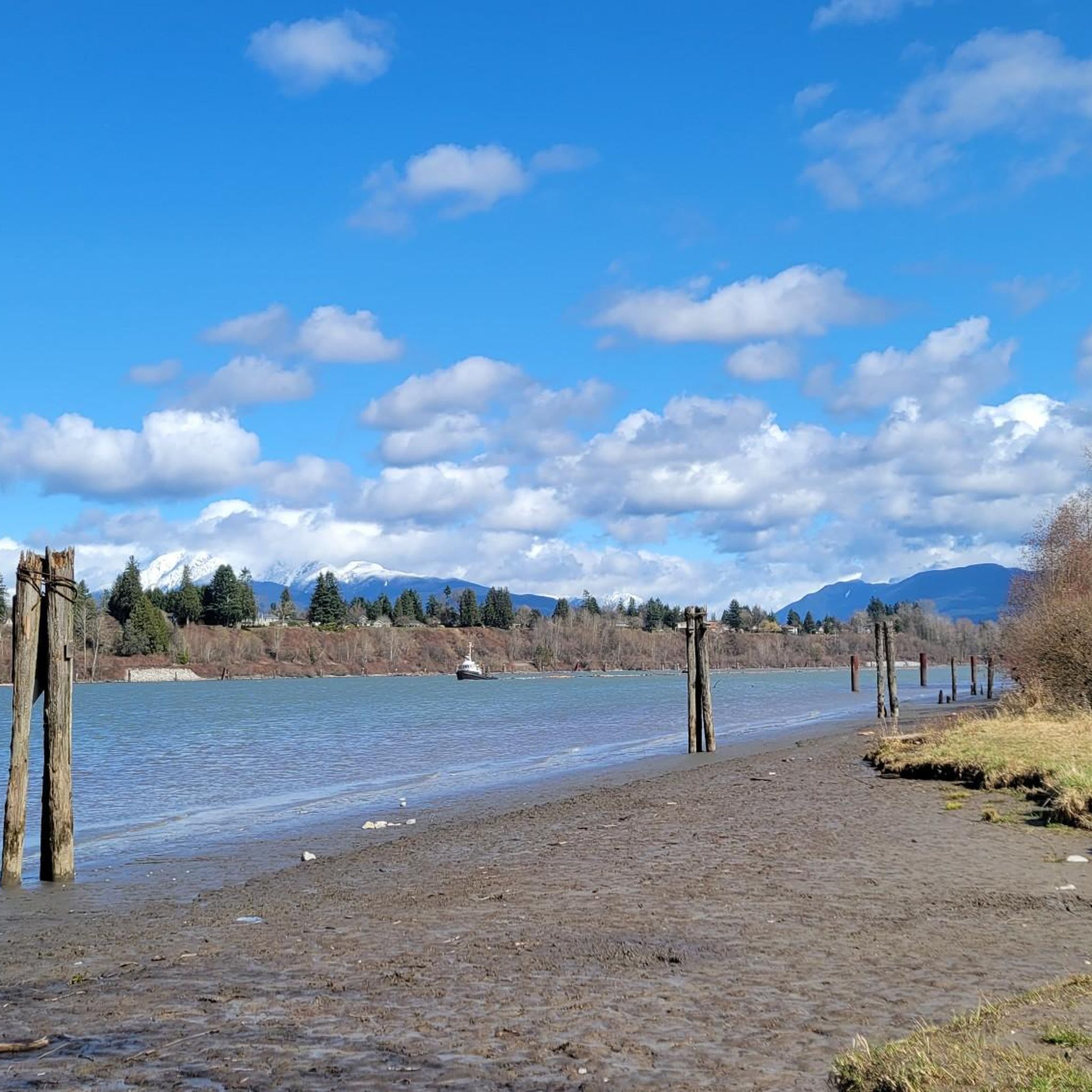
Pitt River Regional Greenway is a multi-use trail that follows the east bank of the Pitt and Fraser rivers through Pitt Meadows. The route runs along dikes and through riparian areas, with wide views of the river, surrounding farmland, and nearby mountains. Its flat, open alignment and proximity to the water give it a calm, spacious feel, with plenty of opportunities to see birds and other wildlife.
0
0

This paved, multi-use trail traces thee edges of Tynehead Regional Park in a four kilometer loop. You'll find interpretive signage placed along the loop as you make your way around.
0
0
Pitt Meadows Regional Airport sits right along the Pitt River Regional Greenway and the Fraser River, serving general aviation, flight training, and small aircraft operations in the Lower Mainland. The low-lying airfield is surrounded by farmland and dike trails, making aircraft activity a constant backdrop for nearby walks and rides. As you pass by, you'll likely see planes taking off and landing at close range against the open valley setting.
0
0
The Pitt River Regional Greenway follows the Fraser and Pitt Rivers and is a flat, easy route that is part of a wider network of cycling and walking paths through Pitt Meadows. The trail runs through open farmland, with long, uninterrupted views of the river and the surrounding mountains. With minimal tree cover and expansive scenery, it feels exposed and spacious, shaped more by the river and sky than by forest. There are plenty of access points and parking at both ends, making it perfect for a short or extended hike along the riverfront.
0
0
This beautiful river is a major tributary of the Fraser River that flows south from the Garibaldi Ranges, through Pitt Lake, before joining the Fraser River near Port Coquitlam. The lower stretches of the river are tidal, and the surrounding wetlands are home to a rich diversity of wildlife. The river also holds cultural significance for the Kwantlen First Nation, serving as a natural corridor that connects the coastal region with the interior of the province.
0
0

Nice bridge to help get through the crush of humanity and vehicles that is Greater Vancouver.
0
0

Dedicated in 2019 by the City of Port Coquitlam in recognition of Michael Forrest's contributions to the community and his service on City Council from 2000 to 2018 A third generation Fort Coquitlam resident, Michael has "cherished this view of the Fraser River his whole life, The rivers that were his playground as a child became his workplace as an -lt. Michael continues to be active in the community and can be seen regularly on the water,
0
0
The Port Mann Bridge, spanning the Fraser River in Surrey, BC, near Langley, is a 10-lane, cable-stayed bridge connecting Coquitlam to Surrey along Highway 1. Opened in 2012, it replaced an older 1964 bridge and is one of North America’s widest bridges at 65 meters. Stretching 2.02 km, it features a 470-meter main span and 52-meter towers.
0
0
Frequently Asked Questions
Are there easy mountain bike trails in Langley?
The mountain bike trails highlighted in this guide are generally considered moderate. They offer engaging paths without extreme elevation changes, making them accessible for riders with some experience. For example, the Tinhouse Brewing loop from Pitt River Bridge is a moderate ride with minimal elevation gain.
Are the mountain bike trails in Langley suitable for families?
The trails around Langley are generally moderate, traversing river walkways and green spaces. While they don't feature extreme technical challenges, their moderate difficulty means they are best suited for families with older children or those who are already comfortable with mountain biking. Always check individual route details for specific suitability.
Can I bring my dog on the mountain bike trails in Langley?
While many outdoor areas in British Columbia are dog-friendly, specific regulations can vary by park or trail. It's always best to check the local rules for each trail or park you plan to visit to ensure dogs are permitted and if they need to be on a leash.
What is the typical length and duration of mountain bike trails near Langley?
The mountain bike trails near Langley vary in length and duration. For instance, the Tinhouse Brewing loop from Pitt River Bridge is about 15.9 miles (25.6 km) and takes approximately 1 hour 58 minutes. Longer options like the Michael Forrest River Walkway – Taylight Brewing loop from Shell stretch to 27.3 miles (43.9 km) and can take around 2 hours 41 minutes.
Are there circular mountain bike routes available in Langley?
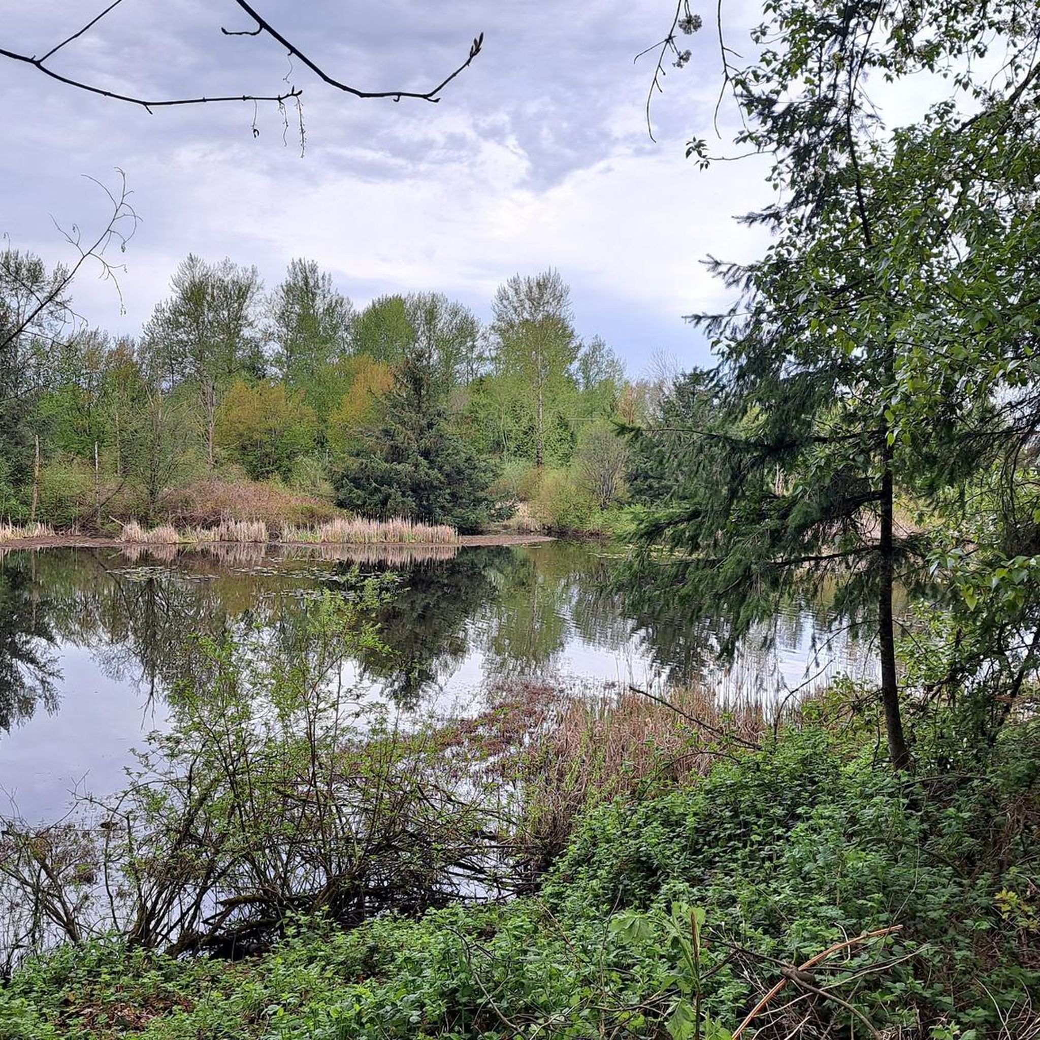
Yes, many of the mountain bike routes around Langley are circular, offering convenient starting and ending points. The Neaves East 1 Pond – North Pond loop from Blaney Bog Regional Park Reserve is a prime example of a circular path that allows you to explore varied scenery and return to your starting point.
What kind of scenery can I expect on mountain bike trails in Langley?
Mountain biking in Langley offers diverse scenery, including river walkways, suburban green spaces, and routes that often connect to local points of interest. Trails like the Neaves East 1 Pond – North Pond loop from Blaney Bog Regional Park Reserve wind through areas featuring ponds and natural park reserves, providing varied natural landscapes.
Are there any viewpoints along the mountain bike trails in Langley?
While the terrain in Langley is generally moderate without extreme elevation, many routes offer pleasant views of the Fraser River, local green spaces, and natural park areas. For specific panoramic viewpoints, you might explore trails that run alongside the river or through higher sections of regional parks.
What do other mountain bikers enjoy most about mountain biking in Langley?
The area is highly rated by the komoot community, with an average score of 4.0 stars. Reviewers often praise the engaging paths, the convenience of circular routes, and the ability to connect with local establishments like breweries along the way.
Are there mountain bike trails in Langley that pass by breweries or local establishments?
Yes, several routes in Langley are designed to incorporate local points of interest, including breweries. The Michael Forrest River Walkway – Taylight Brewing loop from Shell is a great option that leads through river walkways and connects directly to local breweries, offering a chance to refuel.
What are some interesting landmarks or attractions near the mountain bike trails in Langley?
Beyond the trails themselves, Langley and its surroundings offer several interesting landmarks. You might encounter structures like the Tynehead Pedestrian Overpass or explore sections of the Fort-to-Fort Trail. Other nearby highlights include the White Rock Pier and Waterfront and the Rolley Lake Boardwalk.
What is the best time of year for mountain biking in Langley?
Langley experiences a mild climate, making mountain biking enjoyable for much of the year. Spring and fall offer pleasant temperatures and vibrant scenery. Summer is also popular, though trails can be busier. Winter riding is possible, but conditions may be wet, so checking trail conditions beforehand is advisable.
How many mountain bike trails are included in this guide for Langley?
This guide features 4 distinct mountain bike routes around Langley, all of which are categorized as moderate difficulty. These routes showcase the region's diverse landscape, from river paths to green spaces.
Most popular attractions around Langley

Get inspired with the komoot mobile app


Explore more
Browse the best MTB trails in other regions.
