The best cycling routes around Alberni-Clayoquot
4.4
(6)
158
riders
5
rides
Touring cycling routes around Alberni-Clayoquot traverse a diverse landscape featuring rugged coastlines, freshwater lakes, and extensive old-growth forests. The region includes snow-capped mountain peaks and sandy beaches, offering varied terrain for cyclists. Routes often follow inlets and pass through areas with significant natural features, providing a range of cycling experiences.
Best touring cycling routes around Alberni-Clayoquot
- The most popular touring cycling route is Long Beach loop from Tofino, a 24.8 miles (39.9 km) trail that takes 2 hours 18 minutes to complete. This route offers coastal views and access to the iconic Long Beach area.
- Another top favourite among local touring cyclists is Chesterman Beach loop from Tofino, an easy 6.3 miles (10.1 km) path. This route provides a gentle ride around the scenic Chesterman Beach area.
- Local touring cyclists also love the Ucluelet visitor centre loop from Ucluelet, an 8.9 miles (14.3 km) trail leading through coastal areas, often completed in about 54 minutes.
- Touring cycling around Alberni-Clayoquot is defined by coastal paths, old-growth forests, and views of freshwater lakes. The network offers options for different ability levels, from easy coastal loops to more challenging routes.
- The routes in Alberni-Clayoquot are highly rated by the komoot community with an average score of 4.7 stars from over a few reviews. More than 175 touring cyclists have used komoot to explore Alberni-Clayoquot's varied terrain.
Last updated: July 6, 2026
4.8
(5)
118
riders
41.1km
02:23
190m
190m
Moderate bike ride. Good fitness required. Mostly paved surfaces. Suitable for all skill levels.
26
riders
11.2km
00:39
50m
50m
Easy bike ride. Great for any fitness level. Mostly paved surfaces. Suitable for all skill levels.

Sign up for free
4.0
(1)
14
riders
10.5km
00:43
110m
110m
Easy bike ride. Great for any fitness level. Mostly paved surfaces. Suitable for all skill levels.
5
riders
24.5km
01:25
130m
130m
Easy bike ride. Great for any fitness level. Mostly paved surfaces. Suitable for all skill levels.
3
riders
Hard bike ride. Very good fitness required. You may need to push your bike for some segments of this route.
Our route recommendations are based on thousands of hikes, rides, and runs completed by other people on komoot.
Start today with a free account
Your next adventure awaits.
Login or Signup
Other adventures around Alberni-Clayoquot

Tips from the Community

Ponsford Beach borders MacKenzie Beach to the south. The beach is protected by Mushroom Island, a wooded rock formation offshore that is separated from the mainland at high tide, and the smaller Ponsford Island, which lies further away from the mainland.
2
0
The long and wide MacKenzie Beach offers numerous accommodations, resorts, and two campgrounds, as well as a restaurant. Access is via MacKenzie Beach Road or Tin WIS Road. Parking is limited. The beach is ideal for watching the sunset.
2
0
Following a tragic shipping accident on Christmas Day 1905, a wooden lighthouse tower was erected at Amphitrite Point in January 1906. The tower was destroyed by a tidal wave in early 1914 and replaced by a modern lighthouse in March 1915. In Greek mythology, Amphitrite is the sea goddess and wife of Poseidon. The point where the lighthouse stands is named after a British Royal Navy ship bearing her name. (May 16, 2025) The history of the Amphitrite Point Lighthouse is described in detail on a website: https://www.lighthousefriends.com/light.asp?ID=1104
3
0

multi use trail including ATV
0
0

The lighthouse, which was built in 1929, is primarily intended to guide ships through the treacherous waters of the Pacific Ocean, especially in a region known for its challenging weather conditions and rugged coastline. The Amphitrite Point Lighthouse is a structure of great importance to navigation in this area and offers panoramic views of the ocean and surrounding area, making it a popular destination for visitors. Additionally, the surrounding area is often a good place to spot marine life and enjoy scenic walks along the coast.
4
0
Frequently Asked Questions
What kind of landscapes can I expect to see while touring cycling in Alberni-Clayoquot?
The Alberni-Clayoquot region offers a diverse range of landscapes, from rugged coastlines and sandy beaches to freshwater lakes and extensive old-growth forests. You'll encounter snow-capped mountain peaks, serene inlets, and dramatic ocean views, providing a varied backdrop for your cycling adventures.
Are there any easy touring cycling routes suitable for beginners or families?
Yes, there are several easy routes perfect for beginners and families. For instance, the Chesterman Beach loop from Tofino is an easy 10.1 km path, offering a gentle ride around the scenic beach area. Another option is the Amphitrite Point Lighthouse – Ucluelet Lighthouse loop from Ucluelet, which is 9.6 km and also considered easy.
What are some notable natural features or landmarks I can explore along the cycling routes?
The region is rich in natural beauty. You can cycle past areas with stunning old-growth forests, such as the Cathedral Trail, MacMillan Park, home to 'The Big Tree' (Douglas-fir). The Rainforest Trail in Pacific Rim National Park Reserve also offers a breathtaking walk through giant Western Red Cedar and Western Hemlock trees. For coastal views, the Inspiration Point is a popular viewpoint.
Are there any circular touring cycling routes in the Alberni-Clayoquot region?
Yes, many of the touring cycling routes in Alberni-Clayoquot are designed as loops, allowing you to start and end at the same point. Examples include the popular Long Beach loop from Tofino (39.9 km) and the Ucluelet visitor centre loop from Ucluelet (14.3 km).
What is the best time of year for touring cycling in Alberni-Clayoquot?
The Alberni-Clayoquot region benefits from a moderate climate, making it suitable for cycling for much of the year. Spring and fall offer pleasant temperatures and fewer crowds, while summer provides warmer weather ideal for combining cycling with water activities on lakes like Sproat Lake. Always check local weather conditions before heading out.
What do other touring cyclists say about the routes in Alberni-Clayoquot?
The touring cycling routes in Alberni-Clayoquot are highly rated by the komoot community, with an average score of 4.7 stars. Cyclists often praise the diverse terrain, from coastal paths to old-growth forests, and the stunning views of freshwater lakes and the Pacific Ocean.
Are there any challenging routes for experienced touring cyclists?
While many routes are easy to moderate, the region also offers more challenging options. For instance, the Long Beach loop from Tofino is classified as moderate, covering 39.9 km with some elevation gain, providing a good challenge for those looking for a longer ride with coastal views.
Where can I find information about parking for cycling routes in the region?
Parking availability varies by route and location. For routes around Tofino and Ucluelet, you'll find designated parking areas, especially near popular attractions and trailheads like those leading to Long Beach or the Ucluelet Lighthouse. For routes within Pacific Rim National Park Reserve, specific parking regulations and fees may apply. It's advisable to check local signage or park websites for detailed parking information.
Are there any waterfalls or significant water features accessible by bike?
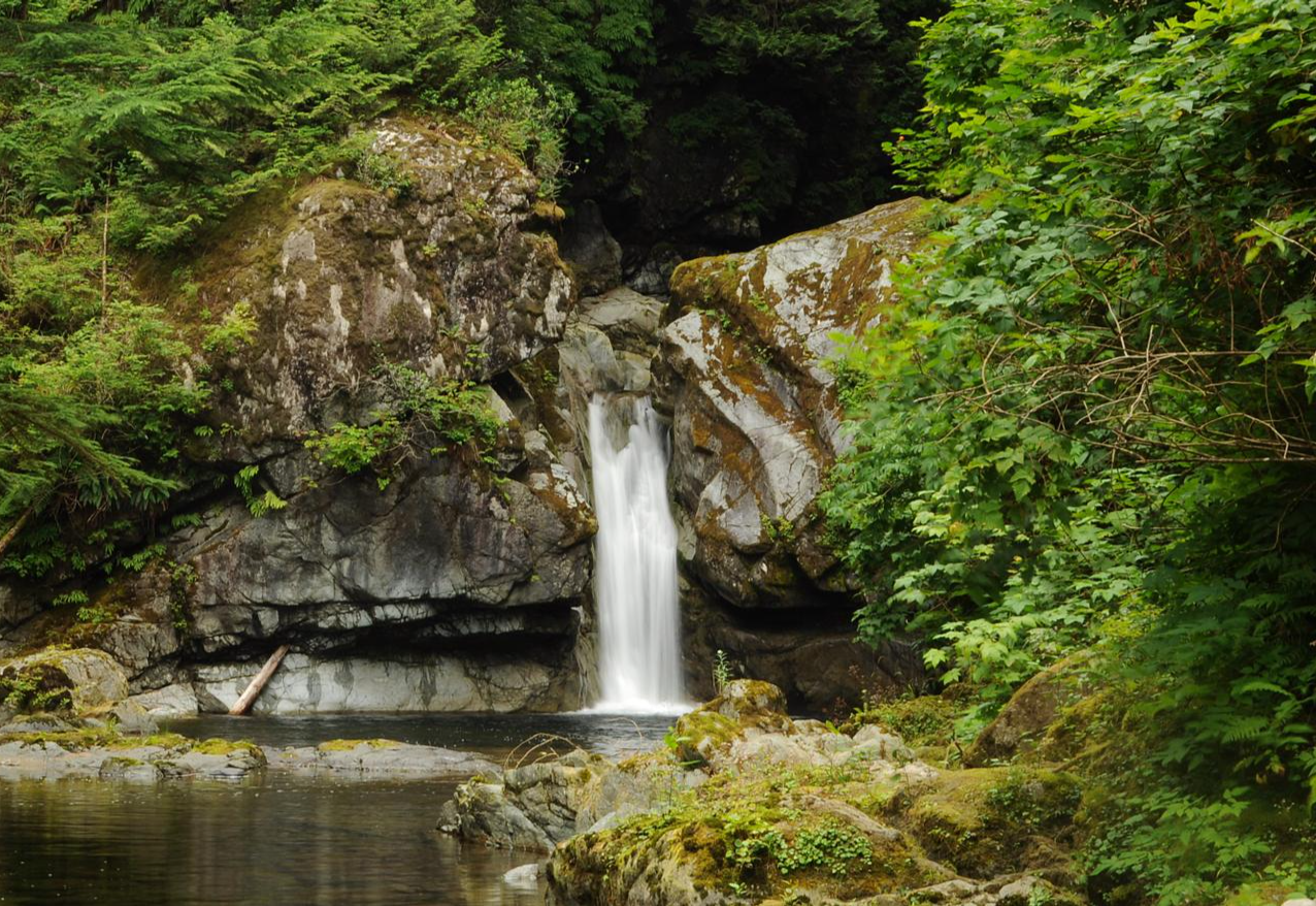
Yes, the region features beautiful water attractions. You can find the impressive Stamp Falls and Canyon, which is a significant natural monument. While not directly on a touring cycling route, it's a notable nearby attraction worth visiting and can often be accessed by a short detour or combined with a cycling trip in the Port Alberni area.
What are some options for cycling near Port Alberni?
Port Alberni serves as a gateway to various outdoor activities, including cycling. While the provided touring routes focus on the Tofino/Ucluelet area, Port Alberni itself has extensive trail networks, including the historic Log Train Trail, which offers a mostly level grade along a former rail bed. For more information on cycling in the Port Alberni area, you can visit Alberni Valley Tourism.
Can I find bike rentals in the Alberni-Clayoquot region?
Yes, bike rentals are available in key towns within the Alberni-Clayoquot region, particularly in popular tourist destinations like Tofino, Ucluelet, and Port Alberni. These services cater to various cycling needs, from casual cruisers to more robust touring bikes, allowing visitors to explore the local trails and scenic routes without bringing their own equipment.
Are there any routes that offer views of mountain peaks?
Yes, some routes and areas provide views of the region's impressive mountain peaks. The Alberni Inlet itself offers picturesque views, including Mount Arrowsmith. While touring cycling routes may not directly ascend these peaks, you can often enjoy panoramic vistas of the Mount Arrowsmith massif and other surrounding mountains from various points along the trails.
Most popular attractions around Alberni-Clayoquot

Get inspired with the komoot mobile app


Explore more
Browse the best Cycling routes in other regions.
