The best MTB trails around Pitt Lake
4.6
(10)
74
riders
4
rides
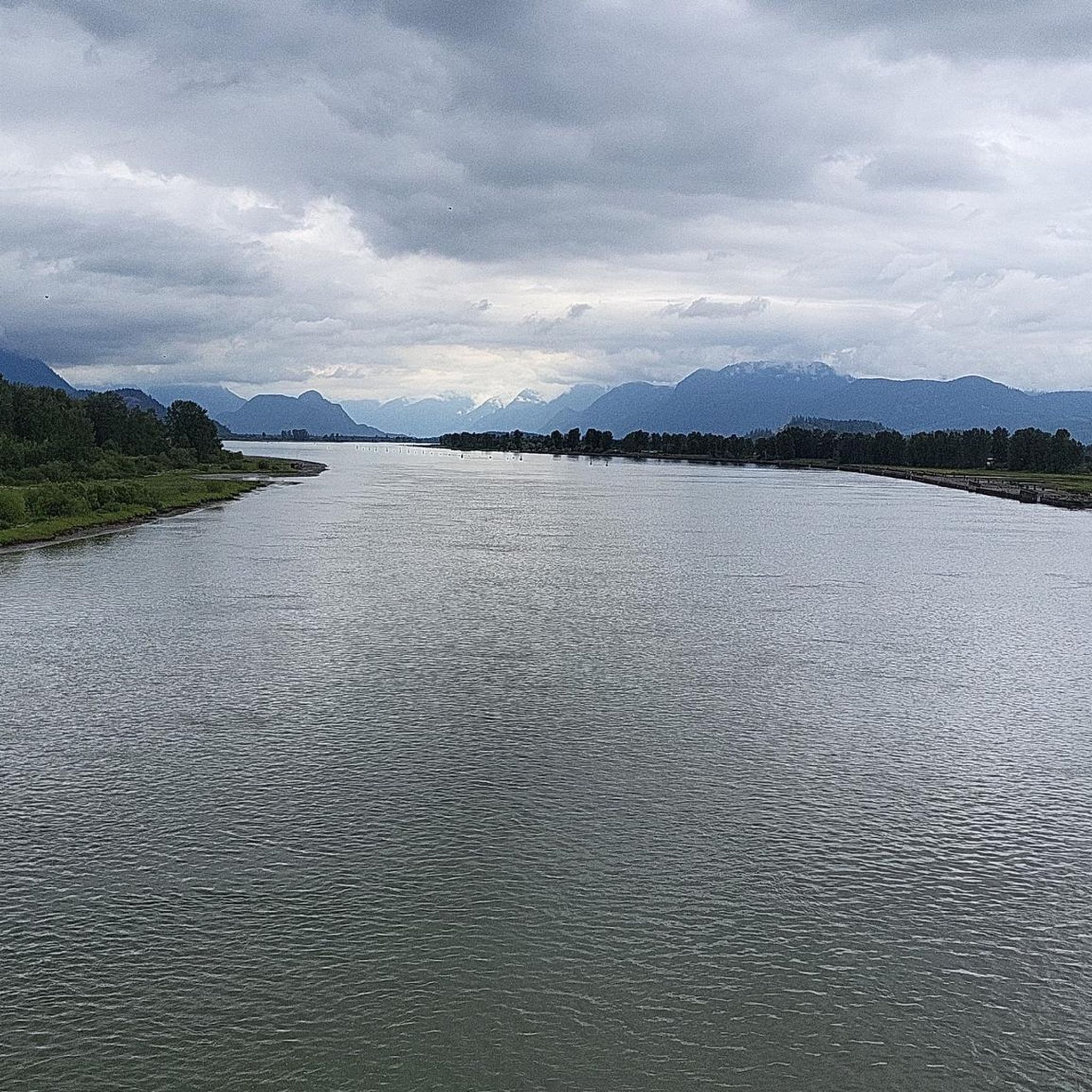
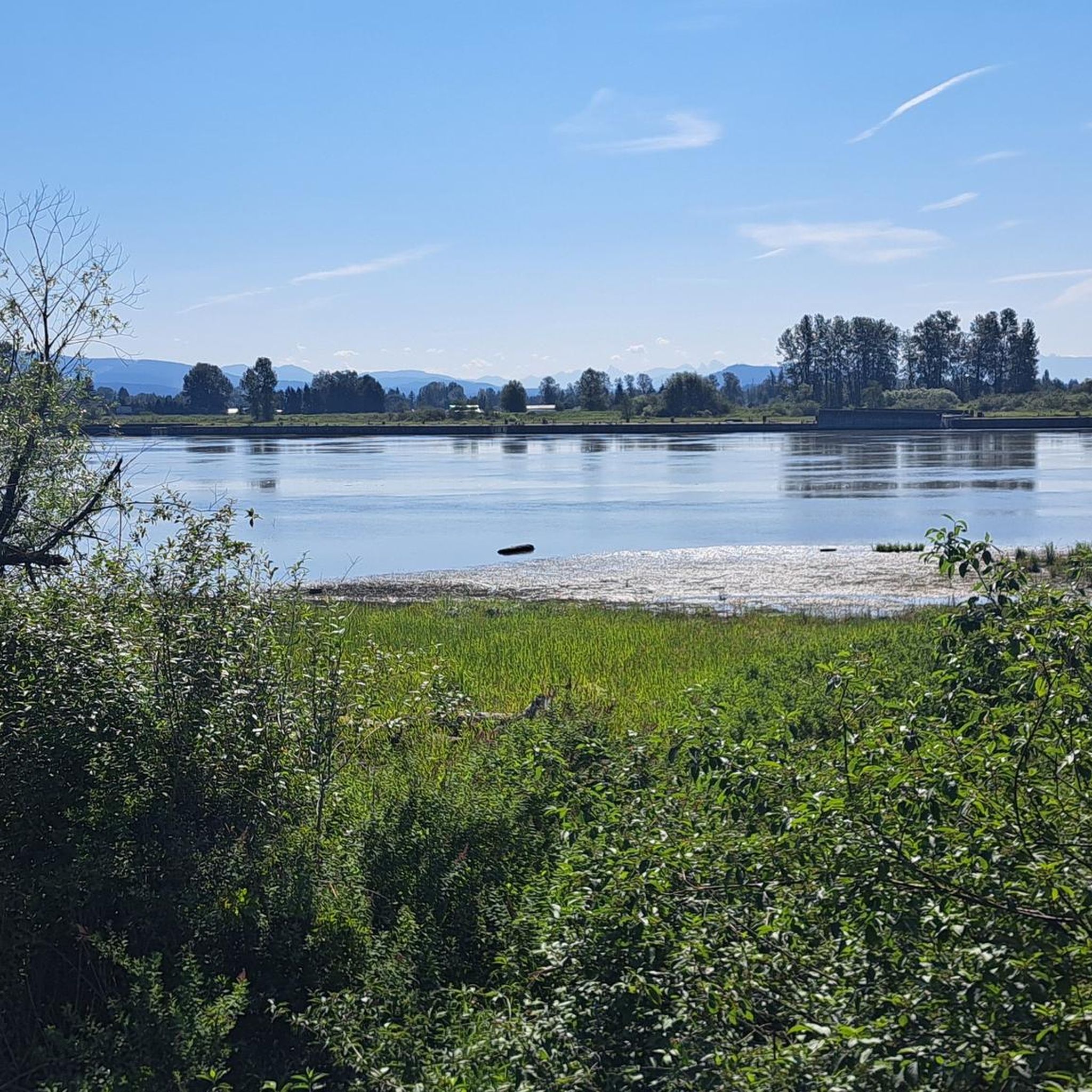
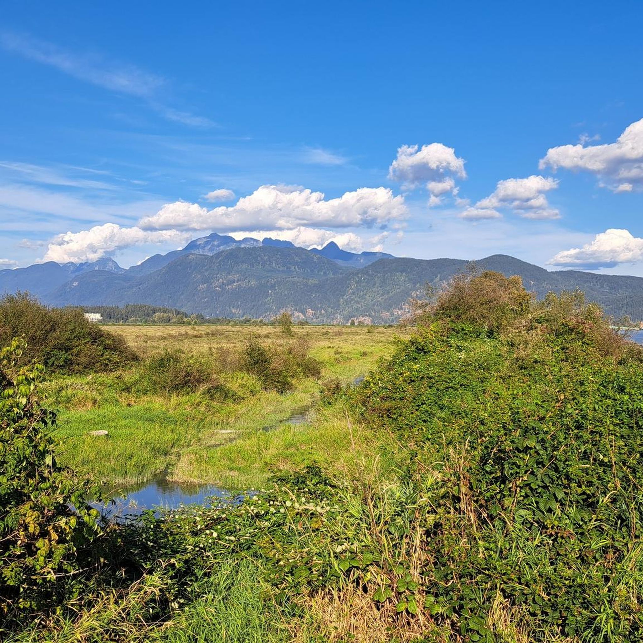
Mountain biking around Pitt Lake offers diverse terrain, from flat dyke trails along the Pitt River to more challenging routes in the surrounding mountainous areas. The region is characterized by extensive marshlands, such as the Pitt-Addington Marsh Wildlife Management Area, and is bordered by provincial parks like Golden Ears and Pinecone Burke. Riders can explore routes that combine river views with forested sections and ascents to viewpoints. Pitt Lake itself is a large tidal lake, influencing the local landscape.
Best…
Last updated: August 30, 2026
4.0
(2)
8
riders
25.6km
01:31
20m
20m
Easy mountain bike ride. Great for any fitness level. Suitable for all skill levels.
2
riders
43.8km
02:41
180m
180m
Moderate mountain bike ride. Good fitness required. Suitable for all skill levels.

Sign up for free
5.0
(3)
13
riders
26.6km
02:40
790m
790m
Hard mountain bike ride. Good fitness required. Advanced riding skills necessary. Some portions of the route may require you to push your bike.
4.3
(3)
6
riders
Moderate mountain bike ride. Good fitness required. Advanced riding skills necessary.
5.0
(2)
35
riders
9.59km
00:53
170m
170m
Moderate mountain bike ride. Great for any fitness level. Advanced riding skills necessary.
Our route recommendations are based on thousands of hikes, rides, and runs completed by other people on komoot.
Start today with a free account
Your next adventure awaits.
Login or Signup

Tips from the Community

The Burnaby Mountain Biking and Hiking Trails span a total of 28 kilometres across 576 hectares of the Burnaby Mountain Conservation Area. The best place to park is the park at the Mountain Air Bike Skills parking lot, but there are smaller lots around the university as well for accessing different areas of the forest. Burnaby Mountain Conservation Area can feel quite wild sometimes, with wildlife sharing the trails and forests like blacktail deer, coyotes, bald eagles, black bears and cougars. However, you can also find quiet areas of the forest that feel totally removed from urban life.
0
0
Upper Cut Trail is open to mountain bikers, hikers and trail runners. Mountain bikers can enjoy some fun corners and a few wooden features, while hikers can enjoy this lush green forest, with lots of shade and small stream crossings. It's a singletrack trail, which means it's narrow and bikers may only ride from north to south.
0
0

A well-known part of Burnaby Mountain's trail network, Gearjammer is one of the area's most popular mountain biking routes. The trail winds through dense coastal forest, with the lower section featuring a series of tight switchbacks that zigzag down the hillside. These turns help manage the mountain's elevation while adding character to the route for both riders and hikers. Along the way, short ladder features and the surrounding rainforest scenery offer a glimpse into Burnaby Mountain's long-established mountain biking culture while still making for an enjoyable forest walk.
0
0
Much of Burnaby Mountain is covered by the temperate rainforest typical of British Columbia's south coast. Towering conifers, moss-covered logs, and a dense understory create a distinctly Pacific Northwest atmosphere, while the forest canopy provides shade throughout much of the year.
0
0
Unlike the surrounding forest trails, Powerline Trail follows an open utility corridor across Burnaby Mountain. The cleared route creates wider views and a greater sense of space than the densely wooded sections nearby, offering a different perspective on the conservation area.
0
0

The trail is an easy packed dirt track that is two people wide in most places. It's a pretty tour of the large ferns, mossy trunks, and other flora that this region of BC has to offer.
0
0
Also known as the Harry Jerome Sports Centre, you can play volleyball here and the indoor cycling track has an incredible banked wooden oval. If it's open, the velodrome is well worth a step inside to see the cycling track if nothing else.
0
0

This wide, gravel trail is an easy path to take as a quick out and back hike or to combine with other trails for a nice loop. Keep in mind that it is multi-use, so you're likely to see cyclists on the path as well, but it's wide enough that there's plenty of room for everyone.
0
0
Frequently Asked Questions
What types of mountain bike trails can I expect around Pitt Lake?
Mountain biking around Pitt Lake offers a diverse range of terrain. You'll find flat dyke trails along the Pitt River, which are great for leisurely rides, as well as more challenging routes in the surrounding mountainous areas with significant elevation gains. The region features extensive marshlands, such as the Pitt-Addington Marsh Wildlife Management Area, and is bordered by provincial parks like Golden Ears and Pinecone Burke.
How many mountain bike trails are available in the Pitt Lake area?
There are 9 mountain bike trails detailed in this guide for the Pitt Lake area. These routes offer a mix of difficulties, including 5 moderate and 4 difficult options, catering to various skill levels.
Are there any easy or beginner-friendly mountain bike trails around Pitt Lake?
While this guide focuses on moderate to difficult trails, the region's dyke trails along the Pitt River are generally considered easy and suitable for all skill levels, often on paved or gravel surfaces. These multi-use paths are ideal for leisurely rides and exploring the area's natural beauty.
What are some challenging mountain bike trails for experienced riders near Pitt Lake?
For experienced riders seeking a challenge, the Powerline Viewpoint loop from Harper Park is a difficult 8.8-mile (14.2 km) route with significant elevation gain, offering expansive views. Another demanding option is the Train Wreck Brewing loop from Moody Centre, a 26.7 km trail with substantial climbing.
What kind of natural features and landmarks can I see while mountain biking around Pitt Lake?
The Pitt Lake area is rich in natural beauty. You can expect to see the vast Pitt-Addington Marsh Wildlife Management Area, known for its biodiversity and birdwatching opportunities. The trails often follow the Pitt River, offering views of this unique tidal lake and its surrounding mountains. Notable landmarks include the Pitt River Bridge and sections of the Pitt River Regional Greenway.
Are there any circular mountain bike routes in the Pitt Lake area?
Yes, many of the mountain bike routes around Pitt Lake are designed as loops. For example, the Tinhouse Brewing loop from Pitt River Bridge and the Powerline Viewpoint loop from Harper Park are both circular routes, allowing you to start and end at the same point.
What do other mountain bikers say about the trails around Pitt Lake?
The mountain bike routes in Pitt Lake are highly rated by the komoot community, with an average score of 4.6 stars from over 9 reviews. Riders often praise the varied terrain, from scenic dyke trails to challenging climbs, and the beautiful natural surroundings, including river views and forested sections.
Is Pitt Lake a good destination for wildlife spotting while mountain biking?
Absolutely. The Pitt-Addington Marsh Wildlife Management Area, a significant natural feature at the south end of Pitt Lake, is a hub for biodiversity. It supports over 200 species of birds, including osprey and great blue herons, making it an excellent spot for birdwatching and wildlife observation during your ride.
What is the best time of year to go mountain biking around Pitt Lake?
The Pitt Lake area is generally accessible for cycling for much of the year. However, the dyke trails are particularly pleasant in spring and fall when the weather is milder. For more challenging routes with elevation, summer offers drier conditions, though some trails might include unpaved segments that can be affected by rain.
Are there any family-friendly mountain biking options near Pitt Lake?
While this guide features moderate to difficult mountain biking routes, the broader Pitt Lake area offers family-friendly options. The dyke trails along the Pitt River and within the Pitt-Addington Marsh Wildlife Management Area are multi-use and generally flat, providing an accessible and scenic experience suitable for families.
Where can I find parking for mountain bike trails around Pitt Lake?
Parking is available at various access points around Pitt Lake. For instance, Grant Narrows Regional Park serves as a primary access point and offers amenities including parking. Routes like the Powerline Viewpoint loop start from Harper Park, which would also have parking facilities.
Can I bring my dog on the mountain bike trails around Pitt Lake?
Many multi-use trails in the Pitt Lake area, particularly the dyke trails, are dog-friendly, provided dogs are kept on a leash. It's always best to check specific trail regulations for any provincial parks or wildlife management areas you plan to enter, as rules can vary.
Most popular routes around Pitt Lake
Most popular attractions around Pitt Lake

Get inspired with the komoot mobile app


Explore more
Browse the best MTB trails in other regions.
