The best walks and hikes in Arica Y Parinacota
4.8
(8)
26
hikers
4
hikes
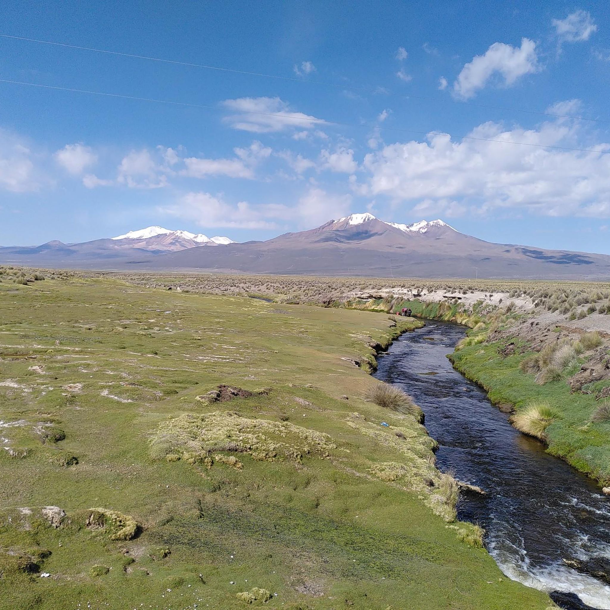
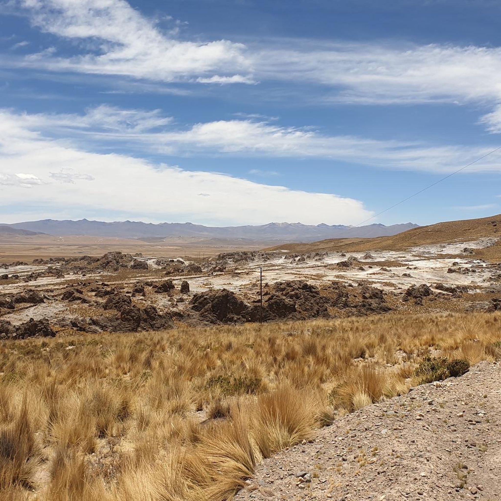
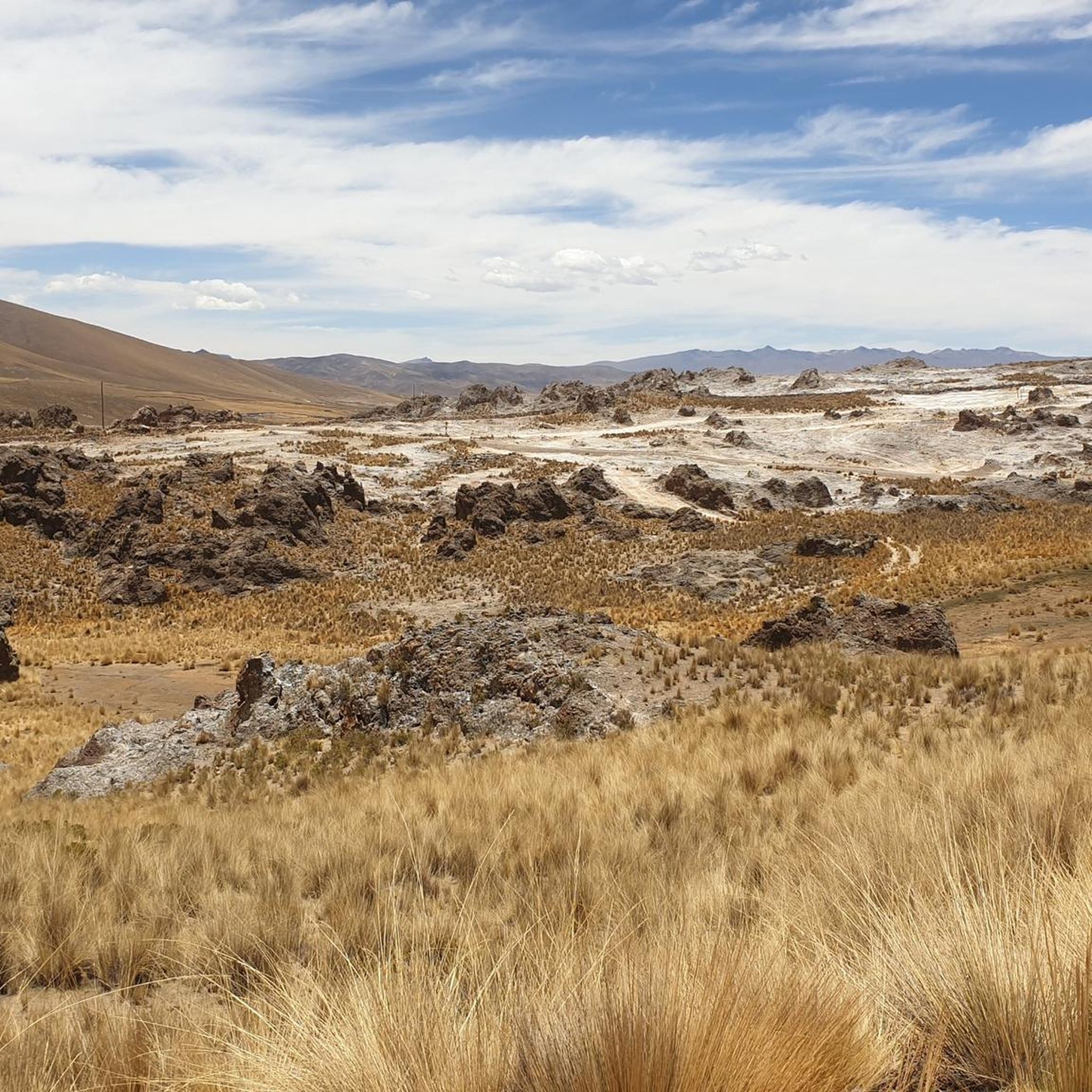
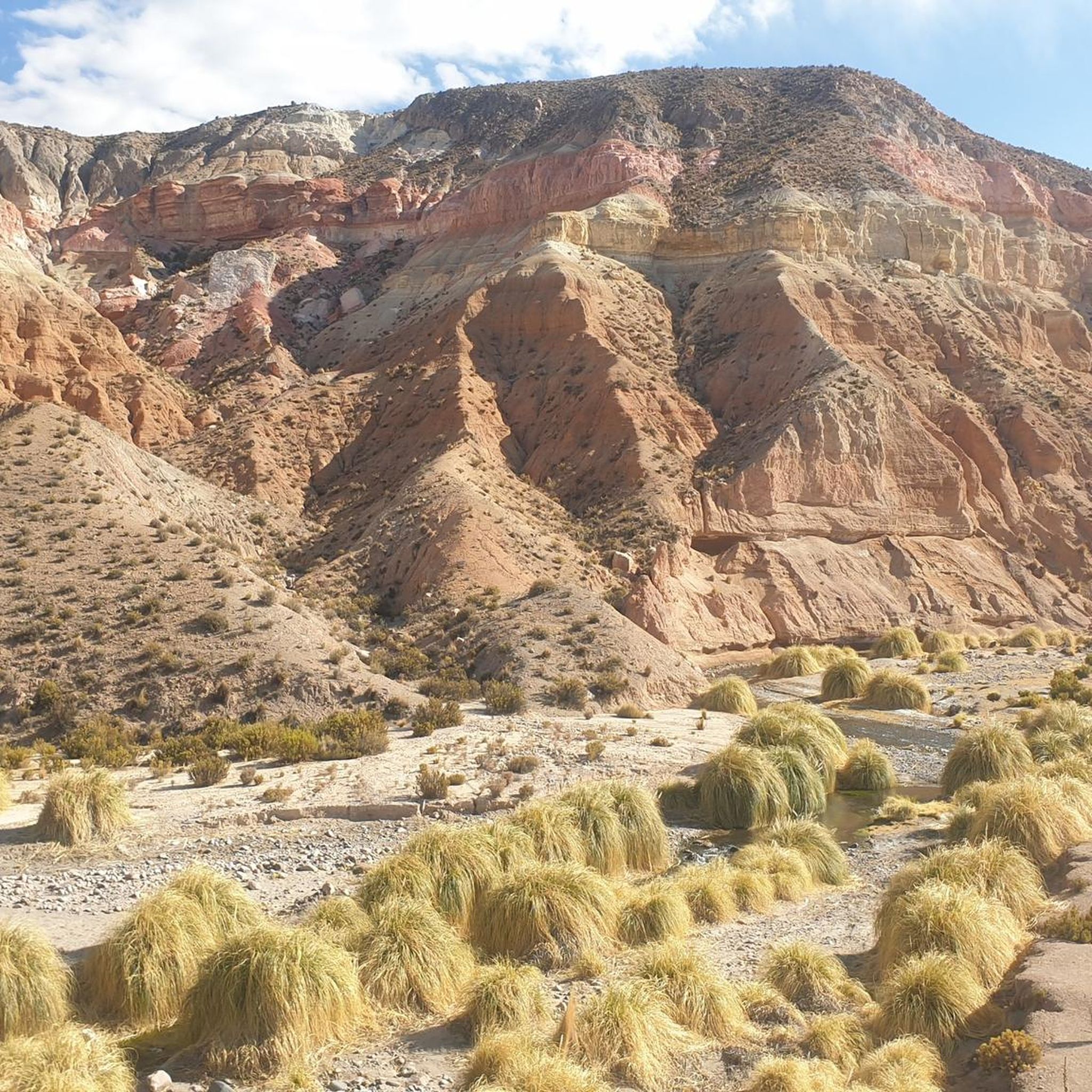
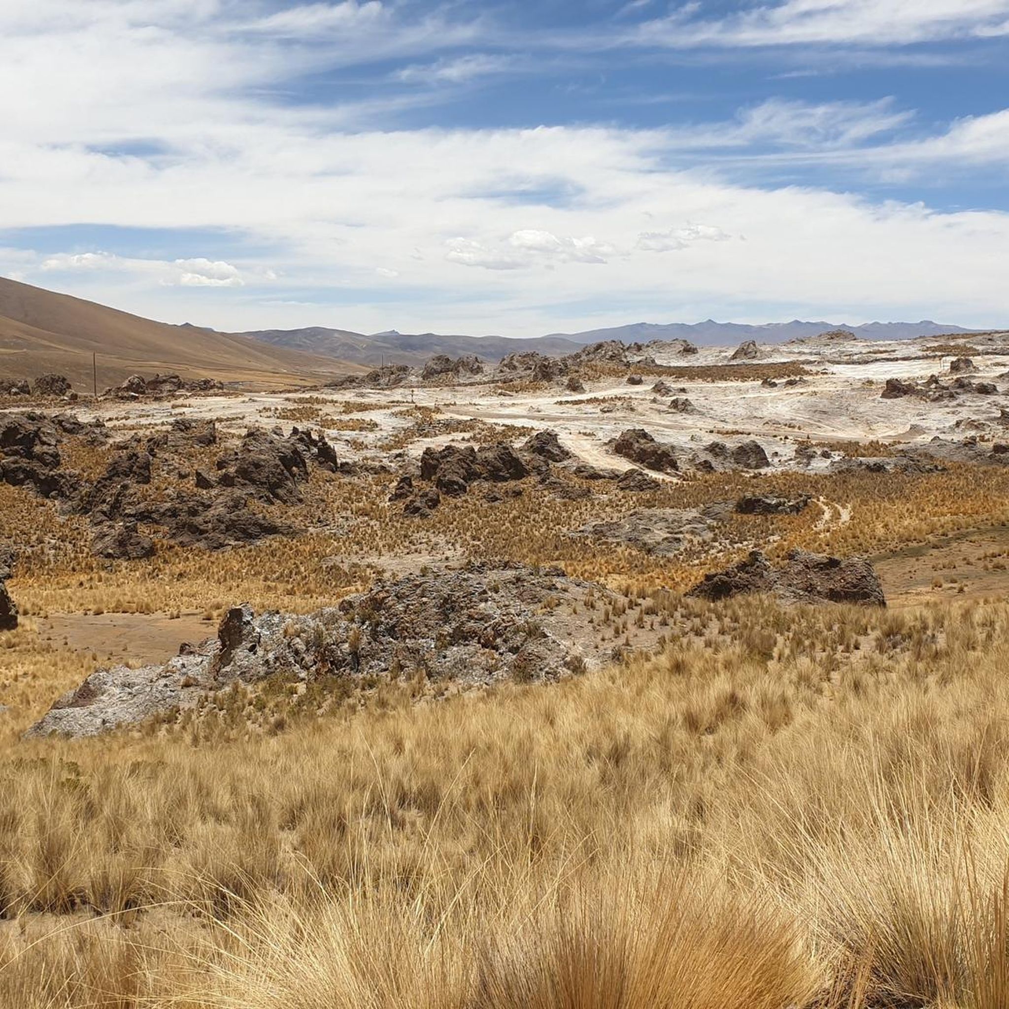
Hiking in Arica y Parinacota offers diverse landscapes, from arid coastal areas to high-altitude plains and the majestic Andean altiplano. The region features towering volcanoes, crystal-clear lakes, and expansive salt flats, providing a wide array of trekking experiences. Hikers can explore trails through valleys, past ancient cultural sites, and across unique geological formations. The varied terrain includes both challenging mountain ascents and easier walks through picturesque natural settings.
Best hiking trails in Arica y Parinacota
- The most popular hiking route…
Last updated: July 15, 2026
4.7
(6)
17
hikers
15.0km
04:46
580m
580m
Moderate hike. Good fitness required. Easily-accessible paths. Suitable for all skill levels.
5.0
(2)
5
hikers
11.0km
03:01
170m
170m
Moderate hike. Good fitness required. Easily-accessible paths. Suitable for all skill levels.

Sign up for free
3
hikers
3.71km
00:58
30m
30m
Easy hike. Great for any fitness level. Easily-accessible paths. Suitable for all skill levels.
1
hikers
2.43km
00:41
50m
50m
Easy hike. Great for any fitness level. Easily-accessible paths. Suitable for all skill levels.
Our route recommendations are based on thousands of hikes, rides, and runs completed by other people on komoot.
Start today with a free account
Your next adventure awaits.
Login or Signup
Tips from the Community

Frequently Asked Questions
What kind of landscapes can I expect to see while hiking in Arica y Parinacota?
Arica y Parinacota offers a striking diversity of landscapes. You'll encounter arid coastal areas, high-altitude plains, and the majestic Andean altiplano. The region is characterized by towering volcanoes like Parinacota and Pomerape, crystal-clear lakes such as Lake Chungará, and expansive salt flats like Surire, providing a wide array of trekking experiences.
Are there any easy hiking trails suitable for beginners or families?
Yes, Arica y Parinacota caters to various skill levels. For an easier option, consider the Piacota loop from Parinacota, an easy 2.3 miles (3.7 km) trail that leads through the altiplano near the Cotacotani Lagoons. Another easy option is the Putre Church – Putre Main Square loop from Putre, which is 2.4 km long.
What are some notable natural attractions or landmarks I can see on a hike?
The region is rich in natural wonders. You can explore Laguna Chungará, one of the highest lakes in the world, offering stunning reflections of the surrounding volcanoes. The iconic Parinacota Volcano is a prominent feature, and the Cotacotani Lagoons are known for their picturesque setting. The Salt Flats of Surire also present a striking landscape of white expanses and intense blue lagoons.
Can I hike with my dog in Arica y Parinacota?
While specific regulations can vary, national parks and protected areas like Lauca National Park often have restrictions on pets to protect wildlife and natural habitats. It's advisable to check the current regulations for any specific trail or park you plan to visit. Trails outside of protected areas might offer more flexibility for hiking with dogs.
What is the best time of year to go hiking in Arica y Parinacota?
The region experiences diverse weather conditions due to its varied altitudes. Generally, the dry season, which typically runs from May to November, offers more stable weather for high-altitude hiking. However, even during this period, be prepared for intense sun exposure and significant temperature variations between day and night. The rainy season (summer months) can bring afternoon showers, especially in the altiplano.
Are there any circular hiking routes available?
Yes, there are several circular routes. For example, the Putre Main Square – Putre Church loop from Putre is a moderate 9.3 miles (15.0 km) trail offering panoramic views. Another option is the View of Parinacota loop from Parinacota, a moderate 6.9 miles (11.0 km) path with views of Lake Chungará and Parinacota volcano.
What should I know about hiking at high altitudes in this region?
Many trails in Arica y Parinacota are at high altitudes, especially in areas like Lauca National Park and Surire, which are above 4,200 meters. Acclimatization is crucial; towns like Putre (3,500 meters) serve as good bases for this. Be aware of the increased sun intensity and potential for altitude sickness. Always carry enough water, sun protection, and appropriate clothing layers.
Are there any historical or cultural sites to explore while hiking?
Yes, the region has a rich cultural heritage. You can find sections of the ancient Inca Trail, offering a glimpse into historical routes. Sites like Ofragia feature hundreds of petroglyphs, and the Chiza geoglyph is another impressive ancient artistic display in the Atacama Desert, providing historical context to the natural beauty.
What do other hikers say about the trails in Arica y Parinacota?
The routes in Arica y Parinacota are highly rated by the komoot community, with an average score of 4.8 stars from more than 5 reviews. Hikers often praise the stunning and diverse landscapes, from volcanic peaks to crystal-clear lakes, and the unique experience of exploring the Andean altiplano.
Is public transport available to reach trailheads, especially from towns like Putre?
While specific public transport routes to all trailheads might be limited, Putre serves as a crucial gateway to many hiking areas, particularly within Lauca National Park. Local transportation options or organized tours from Putre are often available to reach various trailheads. It's recommended to inquire locally in Putre for the most current transport information.
Are there any permits required for hiking in Arica y Parinacota, especially in national parks or for climbing volcanoes?
Access to national parks like Lauca National Park generally does not require specific hiking permits for general trails. However, for climbing higher peaks or volcanoes such as Parinacota or Pomerape, specific permits or registrations with CONAF (Chile's National Forest Corporation) might be necessary due to the technical difficulty and safety considerations. Always check official sources before attempting such ascents.
What kind of wildlife can I expect to see on the trails?
The region, particularly Lauca National Park, is home to a rich diversity of fauna. You might spot over 130 species of birds, including flamingos in the lagoons. Other animals like vicuñas, llamas, alpacas, and vizcachas are commonly seen in the altiplano and near water bodies like the Cotacotani Lagoons.
Most popular routes in Arica Y Parinacota
Most popular attractions in Arica Y Parinacota

Get inspired with the komoot mobile app


Didn’t find what you were looking for?
Check out more Hikes throughout Arica Y Parinacota below and find the perfect route in your destination.
Explore more
Browse the best Hikes in other regions.
