The best walks and hikes in Marifjell Naturreservat
4.8
(8)
66
hikers
6
hikes
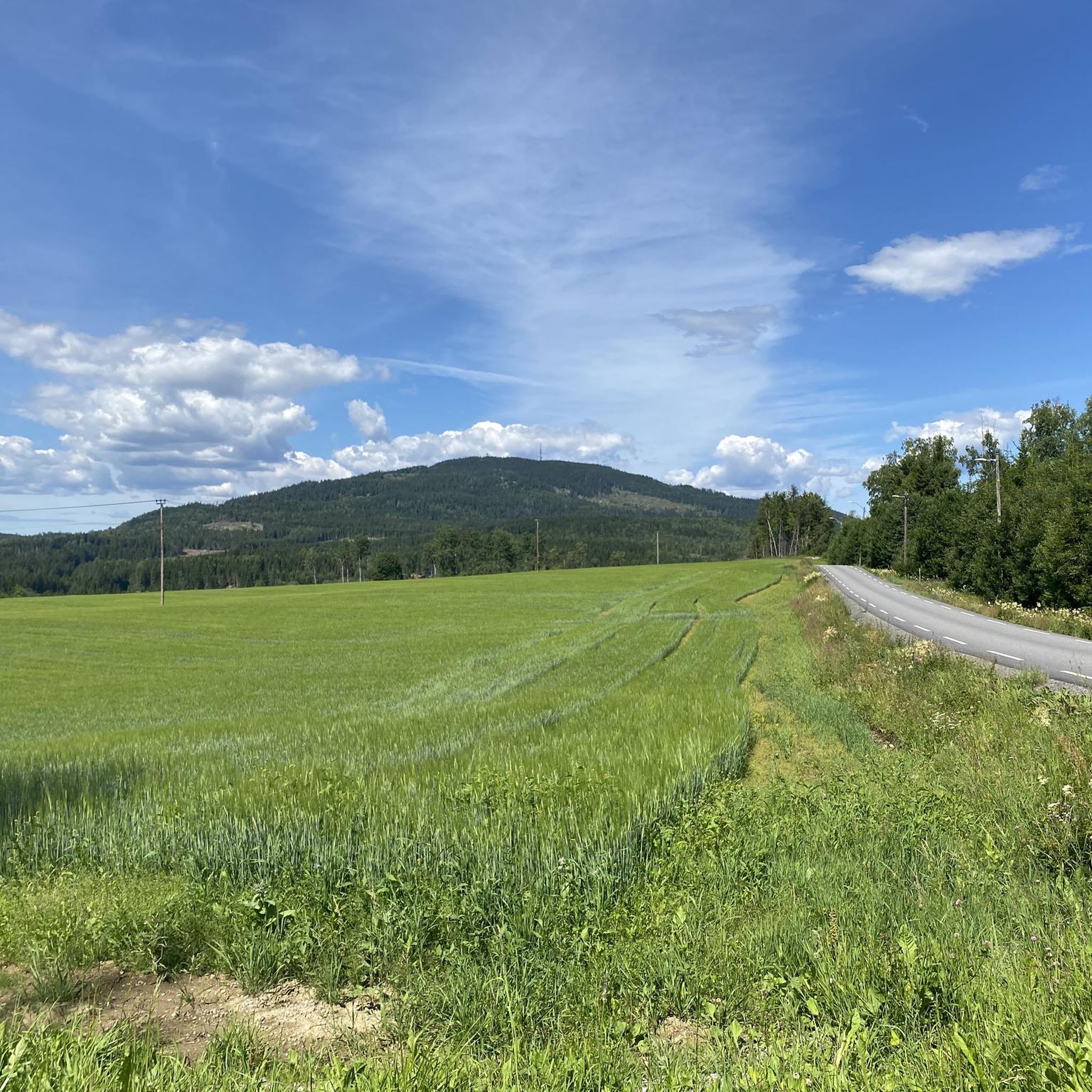
Hiking in Marifjell Naturreservat offers trails through expansive old-growth forest, characteristic of primeval forest and boreal taiga in Eastern Norway. The reserve encompasses Marifjell, the highest point in Nannestad municipality at 717 meters above sea level, providing varied mountain forest terrain. This area is dedicated to conserving its biological diversity and natural ecosystems.
Best hiking trails in Marifjell Naturreservat
- The most popular hiking route is Lake Stratjernet, a 6.8 miles (10.9 km) trail that takes 2 hours 59 minutes…
Last updated: July 18, 2026
10.9km
03:00
180m
180m
Moderate hike. Good fitness required. Easily-accessible paths. Suitable for all skill levels.
4.5
(2)
17
hikers
6.52km
02:00
220m
220m
Moderate hike. Good fitness required. Easily-accessible paths. Suitable for all skill levels.

Sign up for free
2
hikers
7.46km
02:12
220m
220m
Moderate hike. Good fitness required. Easily-accessible paths. Suitable for all skill levels.
11
hikers
8.40km
02:53
320m
320m
Moderate hike. Good fitness required. Mostly accessible paths. Sure-footedness required.
4
hikers
10.2km
03:17
300m
290m
Moderate hike. Good fitness required. Mostly accessible paths. Sure-footedness required.
Our route recommendations are based on thousands of hikes, rides, and runs completed by other people on komoot.
Start today with a free account
Your next adventure awaits.
Login or Signup

Tips from the Community

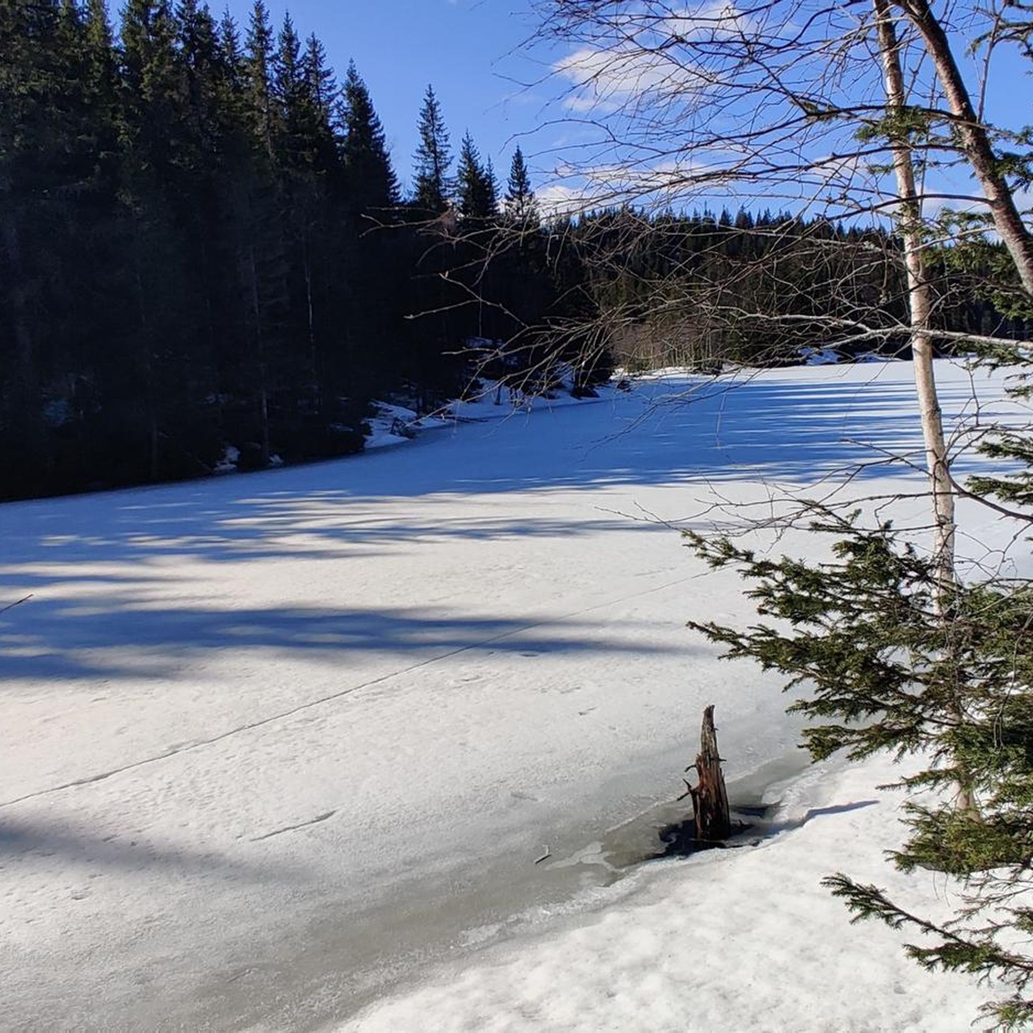
The lake is well hidden behind the forest, but from here you can see its shores and enjoy the magnificent scenery.
0
0
This beautiful forest trail offers a fun and nature-friendly walking experience. In fact, you’ll find several sections designed to protect the ground, with paths built on wooden logs and others on wooden walkways. Please be careful: in wet weather, these paths can be slippery.
0
0
Frequently Asked Questions
How many hiking trails are available in Marifjell Naturreservat?
Marifjell Naturreservat offers a selection of 6 hiking routes, all rated as moderate. These trails allow you to explore the diverse landscapes of the reserve, from old-growth forests to mountain terrain.
What kind of landscapes can I expect to see while hiking in Marifjell Naturreservat?
The reserve boasts a rich variety of landscapes, including ancient old-growth forests, typical mountain forests, and even swamp forests. You'll encounter areas with characteristics of virgin forest, extensive deadwood, and several bodies of water like Lomtjern and Langvatn, contributing to its unique ecological value.
Are there any circular hiking routes in Marifjell Naturreservat?
Yes, several excellent circular routes are available. For example, the Bårhaugkampen – Stangslia loop from Vollaugkrysset is a moderate 6.5 km path, and the Klofjell loop from Honsjøhytta offers a 7.5 km journey through mountain forest.
What are the main attractions or viewpoints in Marifjell Naturreservat?
The centerpiece for hikers is Marifjell itself, the highest peak in Nannestad at 717 meters above sea level. From the summit, you can enjoy panoramic views to the east and south, including glimpses of Hurdalssjøen, Mistberget, and the Romerikssletta. At the peak, you'll also find a tourist cabin and an observation tower, which was originally a fire lookout.
What is the best time of year to go hiking in Marifjell Naturreservat?
Marifjell Naturreservat is beautiful throughout the warmer months. Summer offers lush greenery and pleasant temperatures, while autumn transforms the forests with vibrant colors, making it an ideal time for scenic hikes. The area is also known for maintaining ski trails late into the winter season, suggesting year-round outdoor appeal, though hiking conditions will vary.
Are dogs allowed on the trails in Marifjell Naturreservat?
While the region is generally welcoming to outdoor enthusiasts, it's important to check local regulations regarding dogs in nature reserves. Typically, dogs are allowed but must be kept on a leash to protect wildlife and ensure a pleasant experience for all visitors.
What is the longest moderate hike available in the reserve?
The longest moderate hike listed is Lake Stratjernet, which spans approximately 10.9 km and typically takes around 3 hours to complete. Another substantial option is the Nipkollen loop from Holkebylia, covering about 10.1 km.
What do other hikers enjoy most about Marifjell Naturreservat?
The area is highly rated by the komoot community, with an average score of 5.0 stars. Reviewers often praise the expansive old-growth forests, the varied mountain terrain, and the opportunity to experience a significant natural ecosystem. The panoramic views from Marifjell peak are also a highlight for many.
Are there any challenging hiking options for experienced hikers?
While all listed routes are moderate, the region research indicates that the climb to Marifjell can be demanding, especially if starting from Rustad with a continuous 500-meter elevation gain. Routes like the Kløvberget – Nipkollen loop from Kløvberget, at 8.4 km with over 300 meters of ascent, offer a good workout within the moderate category.
Is there public transport available to reach Marifjell Naturreservat?
Information on direct public transport to specific trailheads within Marifjell Naturreservat is limited. It is advisable to research local bus services to nearby towns or access points like Nannestad or Nordåsen Skistadion and plan for additional travel to reach the reserve's hiking starting points.
Where can I park my car when visiting Marifjell Naturreservat?
While specific parking locations for all trailheads are not detailed, it is common for nature reserves to have designated parking areas near popular starting points. Look for signs indicating parking at common access points like Vollaugkrysset or Honsjøhytta, which are mentioned as starting points for some routes.
Most popular routes in Marifjell Naturreservat

Get inspired with the komoot mobile app


Explore more
Browse the best Hikes in other regions.
