The best mountain hikes in Holderbachtal/Dürholderbachtal
4.5
(4)
14
hikers
4
hikes
Mountaineering routes in Holderbachtal/Dürholderbachtal are characterized by challenging trails and an alpine character, requiring good fitness and sure-footedness. The region features picturesque waterfalls, diverse rock formations like Teufelsley, and significant elevation changes. These paths often demand alpine experience, with some routes corresponding to a "Hard" difficulty level on the Swiss Alpine Club (SAC) Hiking Scale. The landscape offers a blend of natural exploration and scenic views, including glimpses of Monschau's historic Old Town.
Best mountaineering routes in Holderbachtal/Dürholderbachtal
- The most…
Last updated: July 18, 2026
4.0
(1)
2
hikers
15.7km
04:31
370m
370m
Moderate mountaineering route. Good fitness required. Easily-accessible paths. Suitable for all skill levels.
5.0
(1)
8
hikers
Hard mountaineering route. Very good fitness required. Easily-accessible paths. Suitable for all skill levels.

Sign up for free
1
hikers
Moderate mountaineering route. Good fitness required. Easily-accessible paths. Suitable for all skill levels.
4.5
(2)
3
hikers
Moderate mountaineering route. Good fitness required. Easily-accessible paths. Suitable for all skill levels.
Our route recommendations are based on thousands of hikes, rides, and runs completed by other people on komoot.
Start today with a free account
Your next adventure awaits.
Login or Signup
Popular around Holderbachtal/Dürholderbachtal
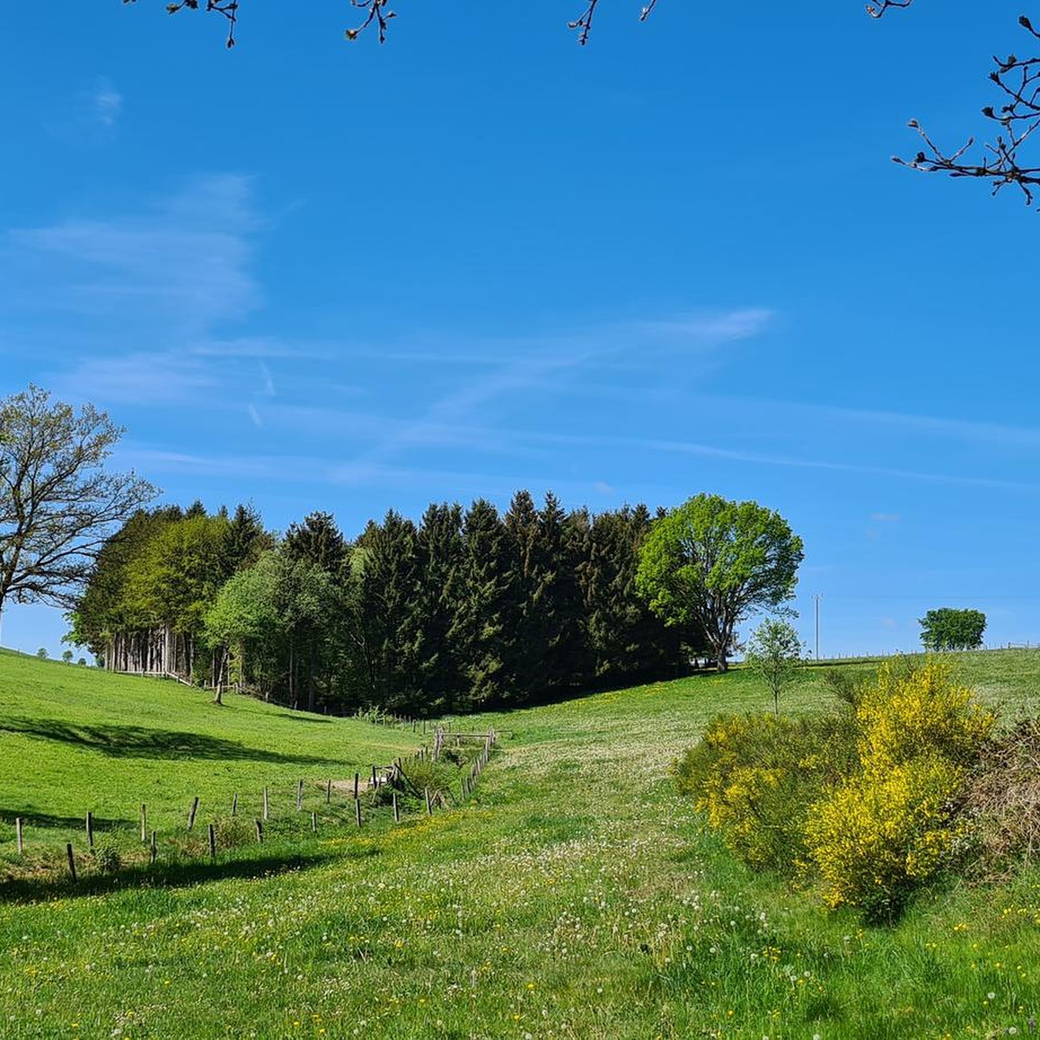
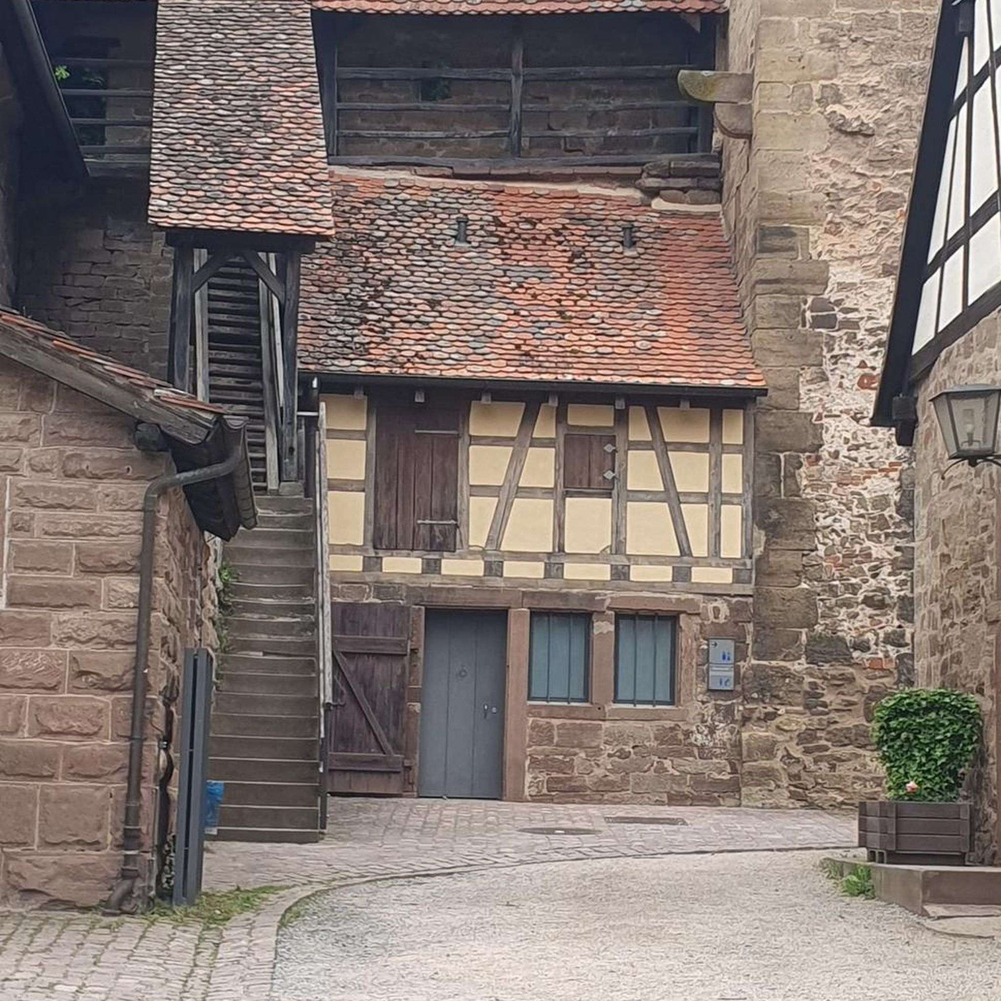
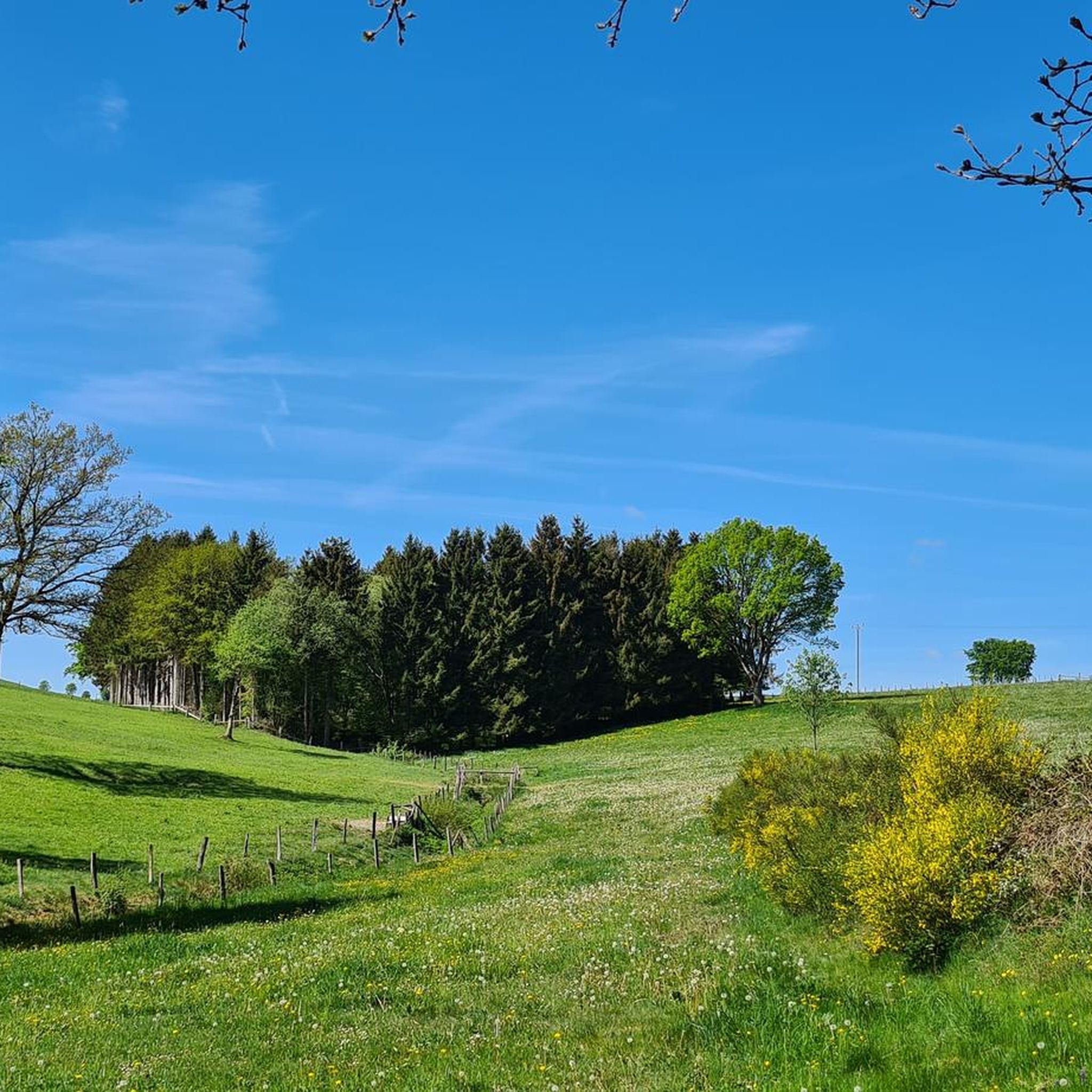
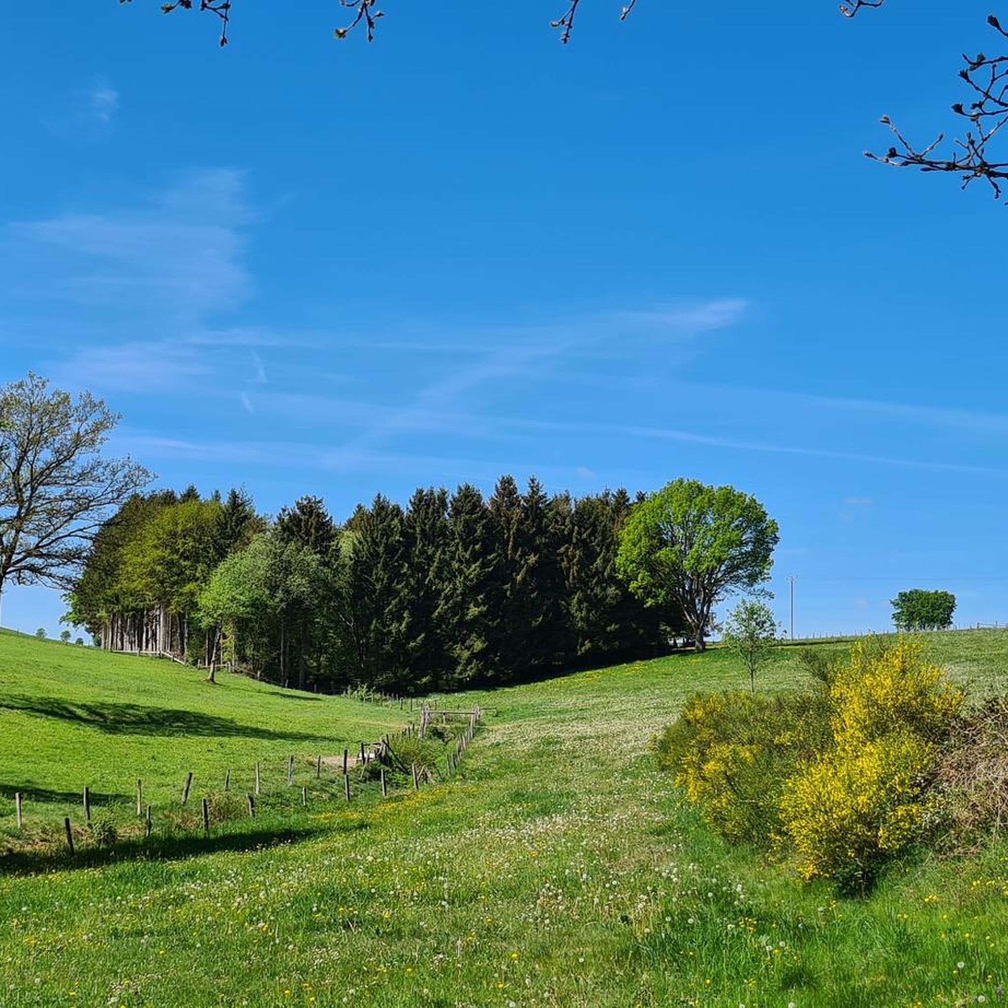
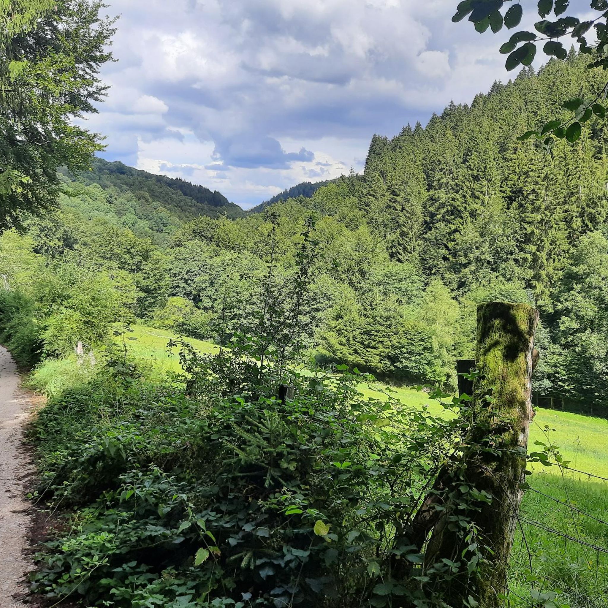
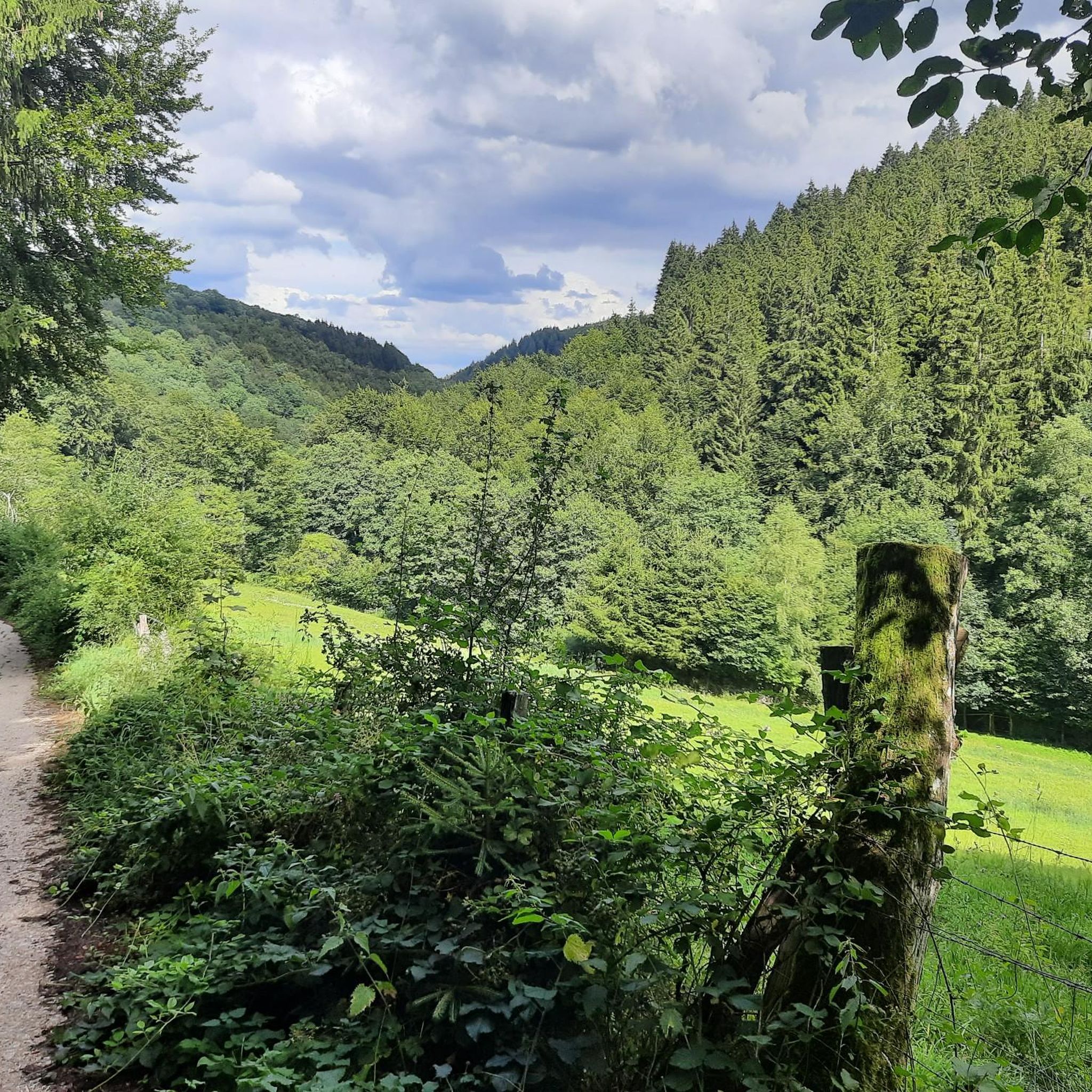
Tips from the Community

According to local tradition, an old legend explains the origin of the Teufelsley (Devil's Rock). The devil was said to have been enraged because a monastery was to be built in the region. In his anger, he dislodged a massive boulder from the heights to destroy the structure. However, as he approached with the stone, an angel intervened, thwarting the devil's plan and stopping his attack. The rock brought by the devil then remained in its present location and has been called Teufelsley ever since.
45
0

Simply beautiful to linger :)
0
0

Beautiful area, worth a visit. I will definitely come back.
0
0

Beautifully situated rest area at the Hesselbach, which invites us to take a short break.
2
0

Great view of the Eifel and you can usually enjoy it alone...
0
0

Beautiful path with alternating root and boardwalk paths. 👌
3
0

Very nice circular route with about 70 nativity scenes.
2
0

Monschau is picturesquely situated between the mountain slopes of the High Fens-Eifel Nature Park in the Rureifel, which takes its name from the river Rur.
4
1
Frequently Asked Questions
What kind of experience can I expect from mountaineering routes in Holderbachtal/Dürholderbachtal?
Mountaineering routes in Holderbachtal/Dürholderbachtal are known for their challenging trails and alpine character. They require good fitness, sure-footedness, sturdy shoes, and often alpine experience. You'll encounter significant elevation changes and diverse terrain, with some routes reaching a 'Hard' difficulty level on the Swiss Alpine Club (SAC) Hiking Scale.
Are there any routes suitable for beginners or those new to mountaineering?
While many routes in Holderbachtal/Dürholderbachtal are challenging, there are options for those with moderate experience. For instance, the Teufelsley Rock Formation – Monschau's historic Old Town loop from Monschau is rated as moderate and offers a great introduction to the region's landscapes.
What are some notable natural features or landmarks I might see on these routes?
The region is celebrated for its natural beauty, including picturesque waterfalls and diverse rock formations. You can explore features like the Teufelsley rock formation on routes such as the Teufelsley Rock Formation – Monschau's historic Old Town loop from Monschau. Some trails also offer scenic views of Monschau's historic Old Town.
Are there any routes that feature waterfalls?
Yes, the Holderbachtal and Dürholderbachtal valleys are particularly known for their picturesque waterfall hikes and walks. While specific waterfall routes aren't detailed in the current selection, the region's overall character includes many such natural features.
Are there any challenging mountaineering routes for experienced hikers?
Absolutely. For experienced mountaineers seeking a demanding adventure, the Eifel Glassblowing Workshop – The Rur River in Monschau loop from Monschau is a difficult 21.3 km path featuring varied terrain along the Rur River.
What do other mountaineers say about the routes in Holderbachtal/Dürholderbachtal?
The routes in Holderbachtal/Dürholderbachtal are highly rated by the komoot community, with an average score of 4.75 stars from 3 reviews. Mountaineers often praise the challenging trails, prominent rock formations, and scenic waterfalls that define the area.
Are there any circular routes available for mountaineering?
Yes, many of the routes in the region are designed as loops, allowing you to start and end at the same point. Examples include the Picnic Area at the Hesselbach – View of Rursee from Kierberg loop from Strauch and the Boardwalks through the Brackvenn – Brackvenn Moor Lakes loop from Kleines Laufenbachtal.
What kind of rock formations can be found in the area?
The region features diverse and interesting rock formations. Beyond the well-known Teufelsley, the broader area includes geological features like Engelsley, Bromelsley, and Pferdeley, which add to the visual appeal and adventurous exploration opportunities.
Are there any places to stop for a break or picnic along the routes?
Yes, some routes pass by designated picnic areas or huts. For example, the Picnic Area at the Hesselbach – View of Rursee from Kierberg loop from Strauch explicitly mentions a picnic area. You might also find the Ludwig-Carl Hut as a potential stop.
What are some other attractions or trails near the mountaineering routes?
Beyond the mountaineering routes, the area offers other attractions. You can explore the RurUfer Cycle Path: Monschau to Einruhr or the Rur Riverside Trail for different outdoor experiences.
What level of fitness is required for mountaineering in Holderbachtal/Dürholderbachtal?
Mountaineering in this region generally requires very good fitness due to the challenging trails and significant elevation changes. Even moderate routes demand a good level of physical conditioning, while difficult routes are suitable for experienced and highly fit individuals.
Is public transport available to access the trailheads?
While specific public transport routes to every trailhead are not detailed here, Monschau, a key starting point for several routes, is generally accessible. It's advisable to research local bus services or regional transport options to plan your access to the trailheads.
Most popular routes in Holderbachtal/Dürholderbachtal
Most popular attractions in Holderbachtal/Dürholderbachtal

Get inspired with the komoot mobile app


Explore more
Browse the best Mountain Hikes & Routes in other regions.
