The 6 Most Amazing Peaks around Itzgrund
Best mountain peaks around Itzgrund are found in a region characterized by its hill country landscape in Bavaria, Germany, primarily within Upper Franconia. Situated along the lower course of the Itz river, between Bamberg and Coburg, the area features elevations ranging from approximately 250 to 450 meters. While not home to towering peaks, the broader Itzgrund region offers notable elevated points that provide views and recreational opportunities. This agricultural area also holds historical significance, with findings dating back to the…
Last updated: October 11, 2026
Staffelberg
Highlight • Viewpoint
Translated by Google •
Tip by

View of the Staffelberg and the Adelgundis Chapel
Highlight • Viewpoint
Translated by Google •
Tip by

Sign up now to discover places like this
Get recommendations on the best single tracks, peaks, & plenty of other exciting outdoor places.
Spitzberg (517 m)
Highlight • Summit
Especially not so crowded ☺
Translated by Google •
Tip by

Haubeberg Summit (Communications Tower)
Highlight • Monument
Translated by Google •
Tip by

View from the Staffelberg summit
Highlight • Summit
Showing Translation
Tip by

Sign up for free to discover even more peaks around Itzgrund.
Already have an account?
Start today with a free account
Your next adventure awaits.
Tips from the Community

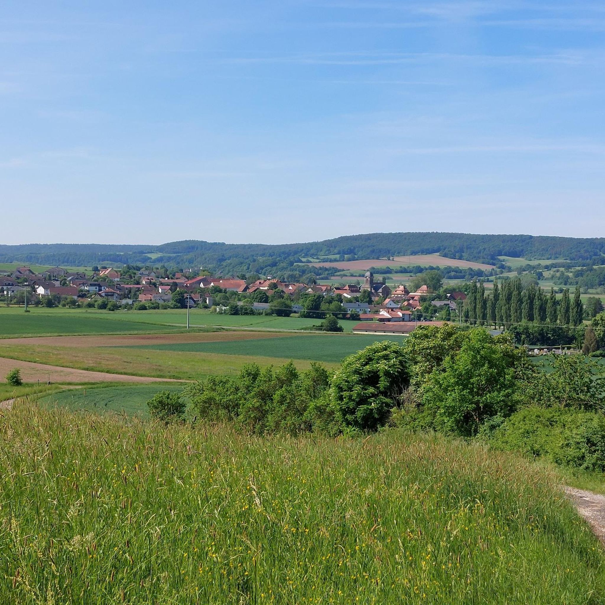
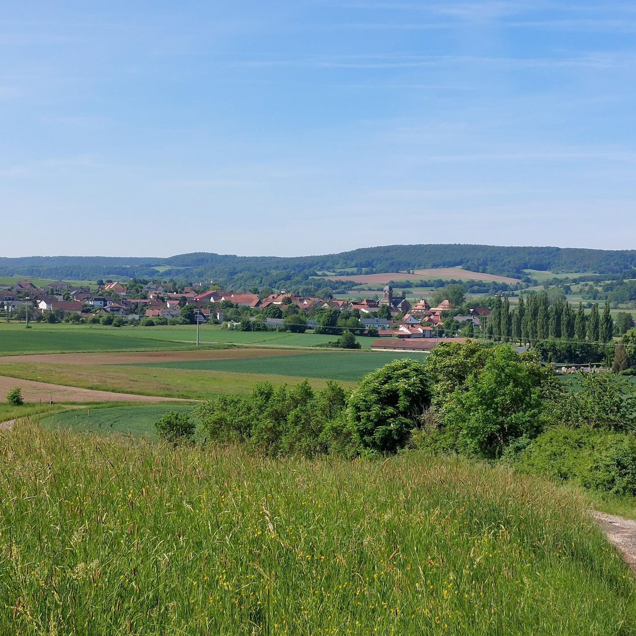
From the Staffelberg, you get one of the most beautiful views in the Gottesgarten am Obermain. From the high plateau, your gaze sweeps far over the Main valley and the varied landscape around Bad Staffelstein and Lichtenfels. With good visibility, numerous striking elevations and places in the region can be recognized. Particularly charming is the view over the rolling hills and forests of the Obermainland – a view that quickly makes you forget the climb. An ideal place for a break and to simply let the landscape sink in.
3
0
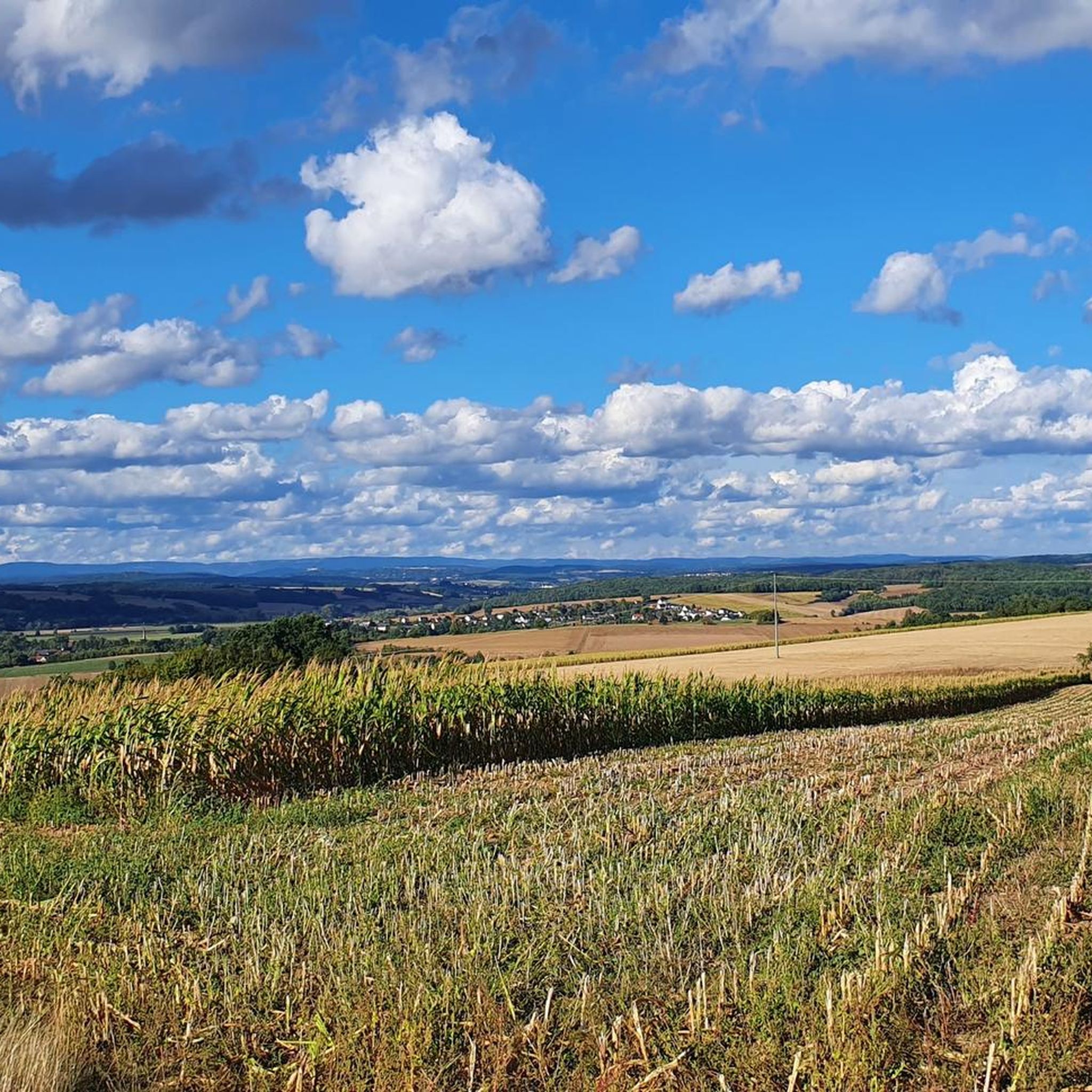
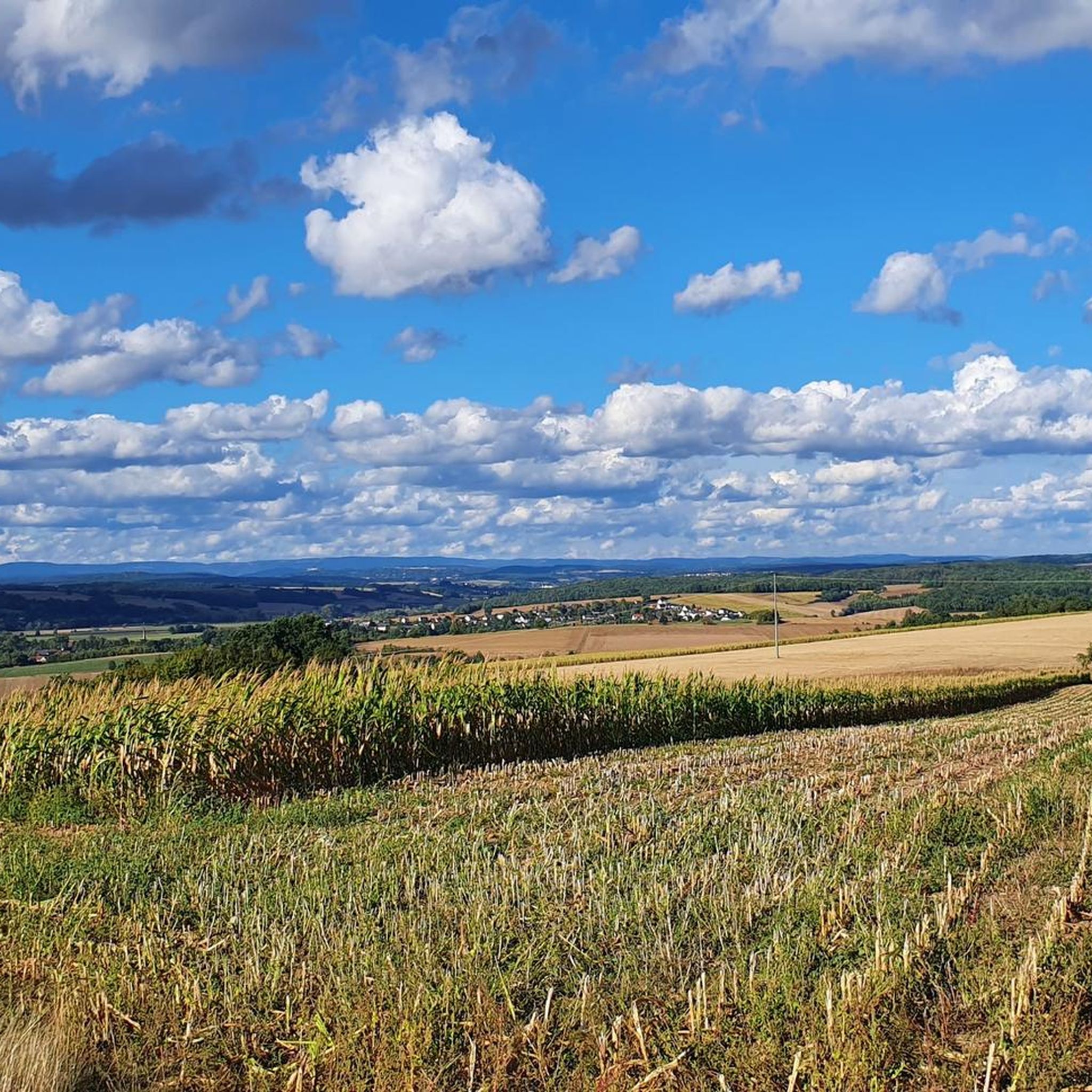
The Staffelberg is one of the best-known viewpoints in Gottesgarten am Obermain – and rightly so. From the high plateau, wide views open up over the Maintal valley and the surrounding Franconian landscape. The view across to the striking elevations of the surrounding area is particularly beautiful. With good visibility, the view extends far beyond the Obermain and quickly makes it clear why the Staffelberg is one of the classic destinations in this region. On the plateau, you will also find the Staffelbergklause, which is well-suited for a stop during your hike. Together with the Basilica of Vierzehnheiligen and Banz Monastery, the Staffelberg forms the well-known trinity of Gottesgarten am Obermain. An absolute highlight of the region – and a viewpoint that is definitely worth the climb.
6
0

You will pass by here as part of the HINTERINDIEN.DE tour no. 31.
0
0

There are many signposted hiking trails on and around the Staffelberg.
0
0

The Franconian mountain is always a worthwhile destination 😏👍😉
0
0

A completely normal mountain where a radio mast stands. Not 300 meters further is the Raueneck ruins
1
0

You should definitely include the Staffelberg in your tour, even if the last 400m are a bit tricky.
0
0

It's an absolute must to drive/walk up to the Staffelberg and enjoy the fantastic view... not to mention the hearty snacks and delicious cakes that are available up there 😍
0
0
Frequently Asked Questions
What are the most popular elevated points around Itzgrund for views and recreation?
The most popular elevated points in the region include Staffelberg, known for its extensive views over the Bad Staffelsteiner and Lichtenfelser area and recognized as one of Bavaria's most beautiful geotopes. Another favorite is Spitzberg (517 m), a natural monument offering views of the Franconian Jura and Staffelberg. Visitors also appreciate the View of the Staffelberg and the Adelgundis Chapel, a historical site located between Staffelberg and Spitzberg.
Are there family-friendly elevated points or trails around Itzgrund?
Yes, the region offers options suitable for families. The Spitzberg (517 m) is listed as family-friendly, though its ascent can be steep in parts. The Staffelberg area, with its Adelgundis Chapel and Staffelbergklause, is also popular with families for its peaceful surroundings and large meadow, providing scenic views and space for outdoor activities.
What kind of natural features can I expect to see on the elevated points around Itzgrund?
The elevated points around Itzgrund, while not towering mountains, offer diverse natural features. You'll find numerous viewpoints with panoramic vistas of the surrounding hill country, forests, and river valleys. The Staffelberg is recognized as a significant geotope, and Spitzberg (517 m) is a natural monument, highlighting the unique geological and ecological aspects of the area.
Are there historical sites or cultural landmarks on or near the elevated points?
Yes, several elevated points have historical significance. The View of the Staffelberg and the Adelgundis Chapel highlights a historical site with a religious building. The Kulch Summit and Ring Wall (483 m) features remnants of an ancient ring wall, offering a glimpse into past settlements. The Itzgrund region itself has agricultural findings dating back to the New Stone Age, indicating a long history of human presence.
What outdoor activities, besides visiting peaks, can I do near Itzgrund?
The Itzgrund region offers a variety of outdoor activities. You can explore numerous hiking trails, such as the easy 'Watzendorfer Madonna – Tierstein court site loop' or the moderate 'Old Bridge to the City Gate – Seßlach Old Town loop'. For cycling enthusiasts, there are MTB trails like the 'Itz River near Hilkersdorf – Gleusdorf Castle loop' and gravel biking routes, including the challenging 'Beer & wine – gravel in the Hassberge Hills'. You can find more details on these activities in the Hiking around Itzgrund, MTB Trails around Itzgrund, and Gravel biking around Itzgrund guides.
Are there challenging hikes or climbs on the elevated points in Itzgrund?
While the Itzgrund is primarily hill country, some ascents can be challenging. For instance, the path to Spitzberg (517 m) is described as partly steep and unpaved, requiring a certain level of surefootedness. The ascent over the Karlssteig to the View of the Staffelberg and the Adelgundis Chapel is also noted as steep but rewarding.
What do visitors enjoy most about the elevated points around Itzgrund?
Visitors particularly enjoy the stunning panoramic views offered from points like Staffelberg, which provides vistas over large parts of the region. The peaceful atmosphere, opportunities for hiking, and the presence of amenities like the Staffelbergklause (a hospitality hut) also contribute to a positive experience. Many appreciate the chance to hike and then enjoy a meal in the scenic surroundings.
Can I find cafes or accommodation near the hiking trails and elevated points?
The Staffelberg area is known to have a small hospitality hut, the Staffelbergklause, which offers food and drink. While specific cafes and accommodation directly on every trail are not detailed, the region is generally well-equipped for visitors, especially in nearby towns and villages. It's advisable to check local listings for specific options.
Is the Haubeberg Summit worth visiting for views?
The Haubeberg Summit (Communications Tower), at 428 meters, is marked on many maps due to its radio mast. However, it is a wooded peak and does not offer a vantage point. For views, you would need to go a few hundred meters further to the beautiful ruins of Raueneck.
Are there any circular walks around the elevated points in Itzgrund?
Yes, the region is suitable for circular walks. Many trails connect various elevated points and scenic spots, allowing for loops. For example, the area around Staffelberg and Spitzberg offers interconnected paths that can be combined into circular routes, providing diverse views and experiences.
What is the best time to visit the elevated points around Itzgrund?
The Itzgrund region, being a hill country, is enjoyable throughout much of the year. Spring and autumn offer pleasant temperatures for hiking and vibrant natural colors. Summer is also popular, especially for enjoying the outdoor hospitality at places like the Staffelbergklause. Winter hiking is possible, but conditions may vary, and some paths could be slippery or covered in snow.
Are there specific trails for beginners or easy mountain hikes in the Itzgrund region?
Yes, the Itzgrund region, characterized by its 'Hügelland' landscape, offers many accessible trails suitable for beginners. While some ascents can be steep, there are numerous easy hiking routes available. For example, the 'Watzendorfer Madonna – Tierstein court site loop' is an easy 6.1 km hike around Itzgrund. Look for trails marked with 'easy' difficulty grades in the Hiking around Itzgrund guide.
Most popular routes around Itzgrund
Most popular attractions around Itzgrund

Get inspired with the komoot mobile app


Explore more
See even more amazing summits around Itzgrund with these guides:
